
Abbeys & priories · East of England
Parish Church of St Mary
In or near Hadstock.
Parish Church of St Mary — church in Great Abington, Cambridgeshire, England, UK.

Wikimedia Commons contributors — see linked file page for photographer and licence licence

Plan your visit
- Typical visit
- 45 min–1.5 h
- Nearest railway station
- Whittlesford Parkway · 4.9 km
- Family-friendly
- Limited wheelchair access
About
Parish Church of St Mary is a place of interest in Cambridgeshire, London. Officially recognised as Grade II* listed building. It sits within the South Cambridgeshire parliamentary constituency. The nearest railway station is Whittlesford Parkway, about 4.9 km away. Postcode area CB21.
Photo gallery
Place summary
The Parish Church of St Mary is an abbey located in Great Abington, Cambridgeshire, London. It is designated as a Grade II* listed building, reflecting its architectural and historical significance.
AI-generated from the structured facts on this page (operator, designation, listing, era). Not a substitute for visiting.
- Coordinates
- 52.1169, 0.2342
- County
- Cambridgeshire
- District
- South Cambridgeshire
- Parish
- Great Abington
- Postcode
- CB21 6AA
- Parliamentary constituency
- South Cambridgeshire
- Nearest railway station
- Whittlesford Parkway — 4.9 km
Sources
- wikidata: Q17550413 (CC0)
- commons: St Mary's Church, Great Abington - geograph.org.uk - 695962.jpg (CC BY-SA 4.0)
Other places nearby

Parish Church of St Mary
Cathedrals · 0.0 km

Abington Woods
Campsites · 0.3 km

Abington Pottery
Natural landmarks · 0.4 km

Hildersham
Villages · 1.4 km

The Almshouses The School House
Historic houses · 2.4 km

HIVE
Public art & sculpture · 2.6 km

Pampisford high point
Mountains & hills · 2.6 km

Signal Hill
Mountains & hills · 3.2 km

Pampisford War Memorial in Churchyard West of South Porch
Memorials & monuments · 3.3 km

Pampisford
Villages · 3.4 km

Rivey Hill
Mountains & hills · 3.6 km

Queens House
Historic houses · 3.6 km
Nearby
📷 3Cathedrals · East of England
Parish Church of St Mary
Parish Church of St Mary is a cathedral in the United Kingdom.
📷 5📷 5Natural landmarks · East of England
Abington Pottery
Abington Pottery — a other in england-london, United Kingdom.
📷 5📷 5Historic houses · East of England
The Almshouses The School House
The Almshouses The School House — house in Babraham, South Cambridgeshire, England, UK.
📷 5Public art & sculpture · East of England
HIVE
HIVE — a public art in england-london, United Kingdom.
Where to eat & stay near Parish Church of St Mary
Places to stay
📷 5 📷 5📷 5
 📷 7
📷 7Hotels · East of England
Crown House
Crown House — a hotel in england london.
 📷 5
📷 5Campsites · East of England
Ashwell House
Ashwell House — a campsite in england london.
 📷 5
📷 5Campsites · East of England
Bounds Campsite
Bounds Campsite — a campsite in england london.
Places to eat & drink
 📷 5
📷 5Historic pubs · East of England
The Kings Head Inn
The Kings Head Inn in England East, United Kingdom.
 📷 5
📷 5Historic pubs · East of England
Tickells Arms Public House
Tickells Arms Public House in England East, United Kingdom.
 📷 5
📷 5Historic pubs · East of England
The Navigator
The Navigator in England East, United Kingdom.
 📷 7
📷 7Historic pubs · East of England
The Robin Hood
The Robin Hood in England East, United Kingdom.
 📷 7
📷 7Historic pubs · East of England
Old Carpenters Arms
Old Carpenters Arms in England East, United Kingdom.
 📷 5
📷 5Historic pubs · East of England
The Victory Public House
The Victory Public House in England East, United Kingdom.
More abbeys in this region
 Flagship📷 5
 📷 5
📷 5Abbeys & priories · East of England
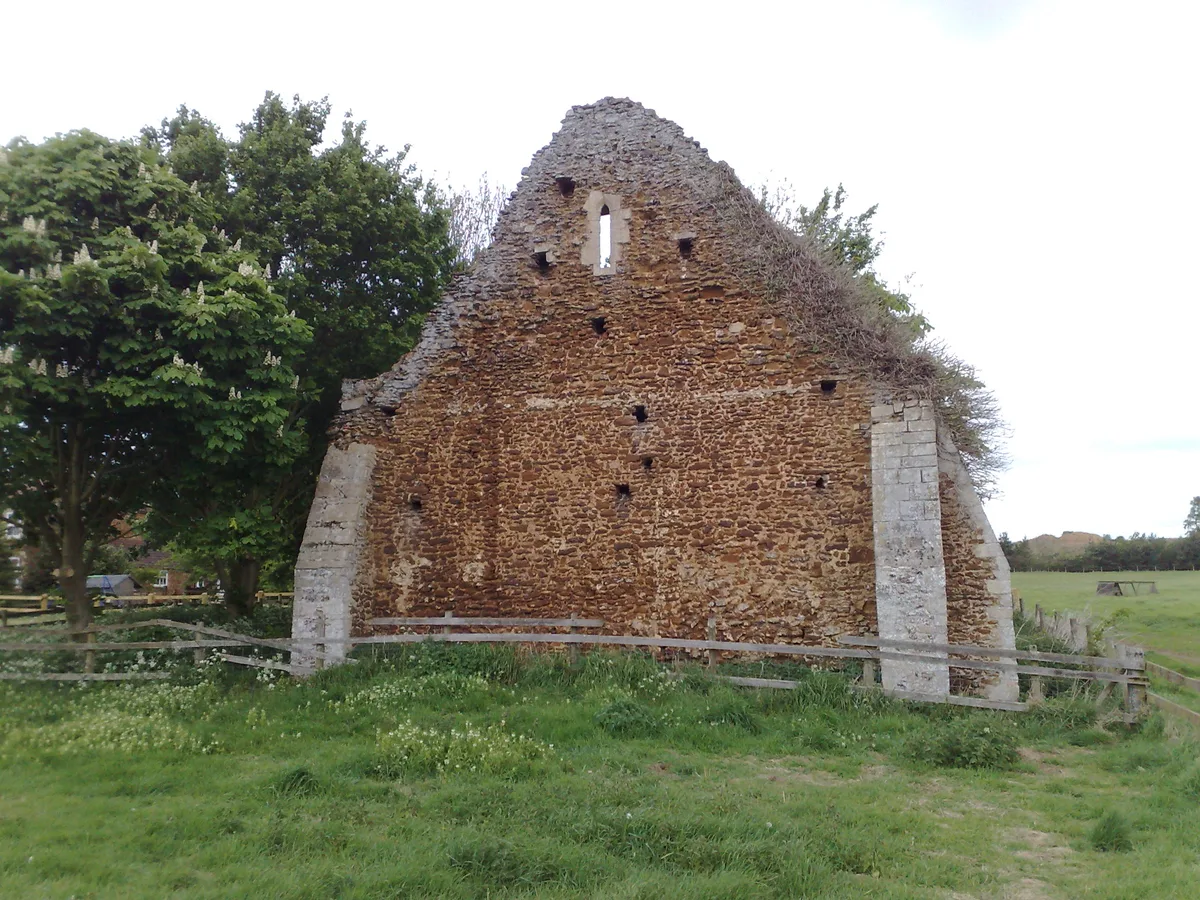
Blackborough Priory
Blackborough Priory — monastery in Middleton, King's Lynn and West Norfolk, England, UK.
 📷 5
📷 5Abbeys & priories · East of England
Bulstrode Preceptory
Bulstrode Preceptory — monastery in Buckinghamshire, England, UK.
 Flagship📷 5
Abbeys & priories · East of England
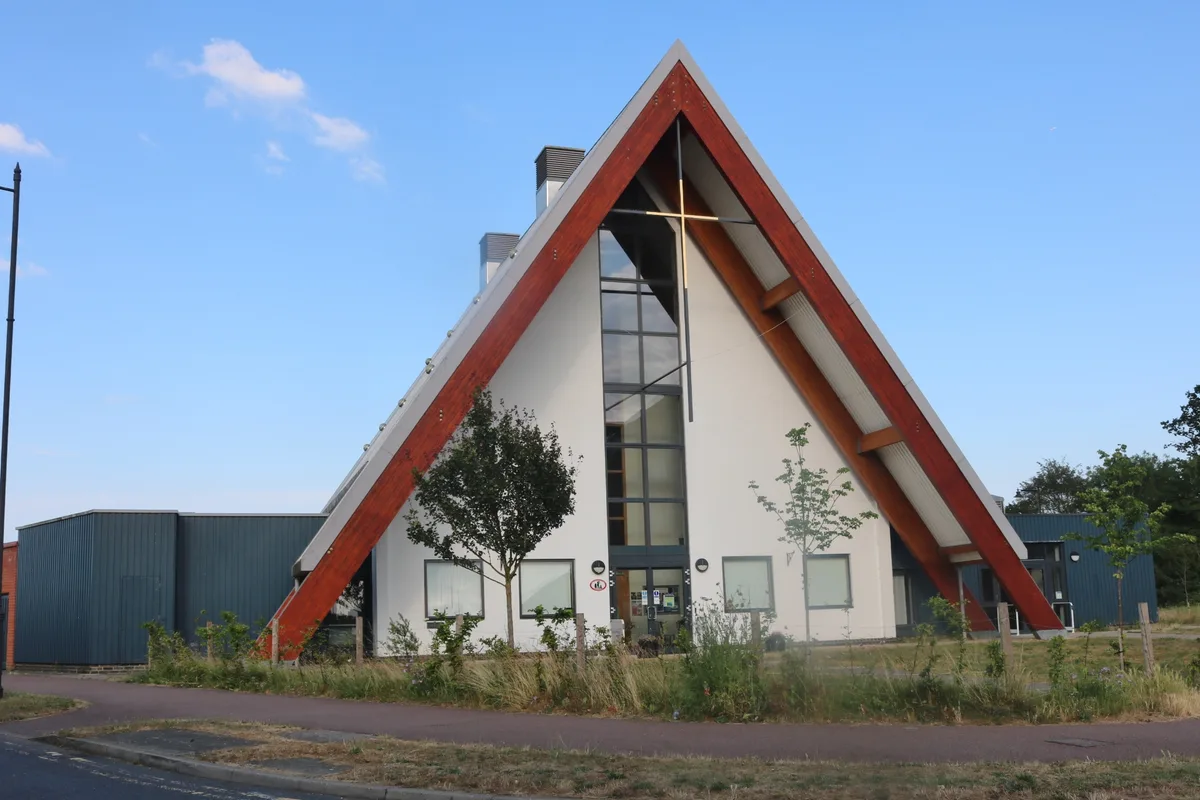
Cambourne Church
Cambourne Church is a abbey in the United Kingdom.
Frequently asked questions
- Where is Parish Church of St Mary?
- Parish Church of St Mary is in Cambridgeshire, East of England, United Kingdom (postcode CB21 6AA), in the parish of Great Abington.
- What is Parish Church of St Mary?
- Parish Church of St Mary — church in Great Abington, Cambridgeshire, England, UK.
- How do I get to Parish Church of St Mary?
- The nearest railway station is Whittlesford Parkway, about 4.9 km away. The nearest town is Hadstock. Drivers can use postcode CB21 6AA.
- Is Parish Church of St Mary a listed building?
- Parish Church of St Mary is officially recognised as Grade II* listed building listed.
- How do I get to Parish Church of St Mary?
- The nearest railway station is Whittlesford Parkway, about 4.9 km away. Drivers can navigate to postcode CB21 6AA.