
Museums · East Midlands
Papplewick Pumping Station
In or near Blidworth.
Papplewick Pumping Station — architectural structure and museum in Papplewick, Gedling, England, United Kingdom.

Wikimedia Commons contributors — see linked file page for photographer and licence licence

Plan your visit
- Typical visit
- 1.5 h–3 h
- Best time of year
- Year-round
- Nearest railway station
- Hucknall · 5.1 km
- Free entry
- Family-friendly
- Limited wheelchair access
Getting there & planning your visit
To visit Papplewick Pumping Station, the nearest railway station is Hucknall, located 5.1 km away. The postcode for sat-nav is NG15 9AJ, and the site is wheelchair accessible.
About
Papplewick Pumping Station is a museum in the United Kingdom. Heritage designation: scheduled monument. Wikidata describes it as: "architectural structure and museum in Papplewick, Gedling, England, United Kingdom". Coordinates: 53.0630°, -1.1314°.
Photo gallery
Heritage listing
Papplewick Pumping Station, situated in open agricultural land approximately 3 miles (4.8 km) by road from the Nottinghamshire village of Papplewick, was built by Nottingham Corporation Water Department between 1881 and 1884 to pump water from the Bunter sandstone to provide drinking water to the City of Nottingham, in England. Two beam engines, supplied with steam by six Lancashire boilers, were housed in Gothic Revival buildings. Apart from changes to the boiler grates, the equipment remained in its original form until the station was decommissioned in 1969, when it was replaced by four submersible electric pumps. A Trust was formed in 1974 to conserve the site as a static museum, but the plans soon developed to include the refurbishment and regular steaming of the engines.
From the Historic England List Entry under OGL v3.
Official information
Papplewick Pumping Station is a historic water pumping facility built in the 1880s, showcasing Victorian engineering. Visitors can explore the site, including guided tours and special steam events featuring original machinery.
From the Wikipedia article
Papplewick Pumping Station, situated in open agricultural land approximately 3 miles (4.8 km) by road from the Nottinghamshire village of Papplewick, was built by Nottingham Corporation Water Department between 1881 and 1884 to pump water from the Bunter sandstone to provide drinking water to the City of Nottingham, in England. Two beam engines, supplied with steam by six Lancashire boilers, were housed in Gothic Revival buildings. Apart from changes to the boiler grates, the equipment remained in its original form until the station was decommissioned in 1969, when it was replaced by four submersible electric pumps. A Trust was formed in 1974 to conserve the site as a static museum, but the plans soon developed to include the refurbishment and regular steaming of the engines. One of the beam engines was operated in 1975, using the only boiler that was certified to be safe at the time. Since then, the second engine has been reconditioned, and both are steamed several times a year. New visitor facilities were built in 1991, and a major restoration of the structures was completed in 2005, following a grant of £1.6 million by the Heritage Lottery Fund. As well as the beam engines, the site houses several other engines, which are also demonstrated on steaming days.
Excerpt from Wikipedia under CC BY-SA 4.0. See the source article linked in Sources below.
Background
History
In 1807, Thomas Hawksley, who went on to pioneer public water supply systems in the United Kingdom, was born at Arnold, near Nottingham. In 1830, there were two water companies in Nottingham, and he was appointed engineer for one of them, with responsibility for the construction of a water works and pumping station at Trent Bridge. Despite opinions that it was impracticable, he built the first system where the water was always under pressure, so that consumers could draw water from it at all times of the day. In order for it to succeed, he had to design a range of fittings which would not leak and persuade plumbers to use them. In 1845, Nottingham's two water companies amalgamated to form…
Architecture
Nottingham Corporation had appointed Marriott Ogle Tarbotton as their Borough Surveyor in 1859. Following the takeover by the Corporation of the Gas Company in 1874 and the Water Company in 1879, Tarbotton was asked to relinquish his post, and was appointed instead as engineer to the gas and water systems. He also sat on the Sewage Farm Committee, and acted as engineer for a number of schemes across the country. His first action was to increase the supply of water, and so he sunk two wells at Papplewick, where Hawksley had already built a covered reservoir. He designed and erected an ornate pump house, which housed two huge beam engines, supplied by James Watt & Co. of Birmingham. The…
Sourced from Wikipedia under CC BY-SA 4.0.
- Coordinates
- 53.0630, -1.1314
- County
- Nottinghamshire
- District
- Gedling
- Parish
- Calverton
- Postcode
- NG15 9AJ
- Parliamentary constituency
- Sherwood Forest
- Phone
- 01159632938
- Established
- 1881
- Nearest railway station
- Hucknall — 5.1 km
- Opening
- Wednesdays and Sundays 11am–3pm from April to October; closed November to March
- Official site
- www.papplewickpumpingstation.org.uk
Sources
- wikidata: Q7133101 (CC0)
- wikipedia: Papplewick Pumping Station (CC BY-SA 4.0)
- commons: Papplewick Pumping Station.jpg (CC BY-SA 4.0)
- fsq: 4c9df366d3c2b60c40f4c5bc (Apache-2.0)
- osm: w54277337 (ODbL)
Featured in this guide
Other places nearby

Howe Plantation Obelisk, 70 Metres North East Of Woodland Grange
Forts · 1.5 km

Polish Cross Memorial
Memorials & monuments · 2.2 km

Obelisk 20 Metres North West Of Vincent Lodge
Forts · 2.3 km

Patchings Art Centre
Natural landmarks · 2.4 km

Tithe Green Burial Ground
Cemeteries · 2.6 km

Barn Gallery
Galleries · 2.6 km
Crew Yard Gallery
Galleries · 2.6 km
Farmhouse Gallery
Galleries · 2.6 km

Calverton Colliery
Memorials & monuments · 3.0 km

Fairview Farm Holiday Accomodation
Campsites · 3.4 km

The Hutt Inn
Historic pubs · 3.5 km
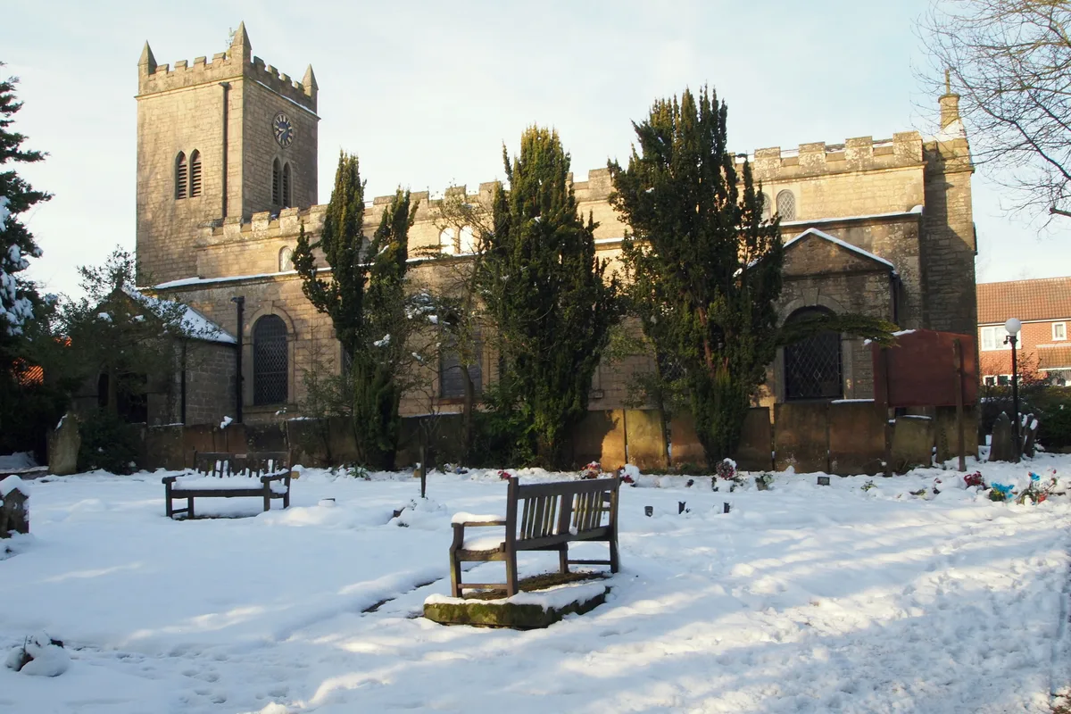
Church of St. Mary of the Purification, Blidworth
Historic churches · 3.5 km
Nearby
📷 5Forts · East Midlands
Howe Plantation Obelisk, 70 Metres North East Of Woodland Grange
Howe Plantation Obelisk, 70 Metres North East Of Woodland Grange — a martello broad in england-east-midlands, United Kingdom.
📷 3Memorials & monuments · East Midlands
Polish Cross Memorial
Polish Cross Memorial — a memorial in East Midlands, United Kingdom.
📷 5Forts · East Midlands
Obelisk 20 Metres North West Of Vincent Lodge
Obelisk 20 Metres North West Of Vincent Lodge — a martello broad in england-east-midlands, United Kingdom.
📷 3Natural landmarks · East Midlands
Patchings Art Centre
Patchings Art Centre — a place in East Midlands, United Kingdom.
📷 3Cemeteries · East Midlands
Tithe Green Burial Ground
Tithe Green Burial Ground is a cemetery in the United Kingdom.
📷 3Where to eat & stay near Papplewick Pumping Station
Places to stay
📷 5Campsites · East Midlands
Fairview Farm Holiday Accomodation
Fairview Farm Holiday Accomodation — a campsite in england east midlands.
 📷 5
📷 5Campsites · East Midlands
Sherbrooke Scout Camp
Sherbrooke Scout Camp — a campsite in england east midlands.
 📷 5
📷 5Campsites · East Midlands
Notts Sun Club
Notts Sun Club — a campsite in england east midlands.
 📷 5
📷 5Campsites · East Midlands
Lurcher Farm Cottage Camping & Caravanning Site
Lurcher Farm Cottage Camping & Caravanning Site — a campsite in england east midlands.
 📷 5
📷 5Hotels · East Midlands
Bestwood Lodge Hotel
Bestwood Lodge Hotel — a hotel in england east midlands.
 📷 5
📷 5Places to eat & drink
📷 7 📷 7
📷 7Cafés · East Midlands
Mortons Farm Tea Rooms
Mortons Farm Tea Rooms — a café in england east midlands.
 📷 7
📷 7Historic pubs · East Midlands
The Five Ways Public House
The Five Ways Public House in England East Midlands, United Kingdom.
 📷 5
📷 5Restaurants · East Midlands
Turquoise
Turquoise — a restaurant in england east midlands.
 📷 5
📷 5Historic pubs · East Midlands
Old Pear Tree Public House And Attached Garden Wall
Old Pear Tree Public House And Attached Garden Wall in England East Midlands, United Kingdom.
 📷 5
📷 5Historic pubs · East Midlands
Portland Arms Public House
Portland Arms Public House in England East Midlands, United Kingdom.
More museums in this region
 📷 5
📷 5Museums · East Midlands
Stamford Town Hall
Stamford Town Hall — building in Stamford, Lincolnshire, England, UK.
 📷 5
📷 5Museums · East Midlands
Thorney Museum
Thorney Museum — a museum in East Midlands, United Kingdom.
 📷 5
📷 5Museums · East Midlands
Octavia Hill Birthplace Museum
Octavia Hill Birthplace Museum — a museum in East Midlands, United Kingdom.
 📷 5
📷 5Museums · East Midlands
Museum of Technology
Museum of Technology — a museum in East Midlands, United Kingdom.
Frequently asked questions
- Where is Papplewick Pumping Station?
- Papplewick Pumping Station is in Nottinghamshire, the East Midlands, United Kingdom (postcode NG15 9AJ), in the parish of Calverton.
- What is Papplewick Pumping Station?
- Papplewick Pumping Station — architectural structure and museum in Papplewick, Gedling, England, United Kingdom.
- How do I get to Papplewick Pumping Station?
- The nearest railway station is Hucknall, about 5.1 km away. The nearest town is Blidworth. Drivers can use postcode NG15 9AJ.
- When was Papplewick Pumping Station built?
- Built or established in 1881.
- Who owns Papplewick Pumping Station?
- Papplewick Pumping Station is owned by | designation1 = Grade II*.
- Is Papplewick Pumping Station a listed building?
- Papplewick Pumping Station is officially recognised as scheduled monument listed.
- Is Papplewick Pumping Station free to visit?
- Yes, Papplewick Pumping Station is free to enter.
- How do I get to Papplewick Pumping Station?
- The nearest railway station is Hucknall, about 5.1 km away. Drivers can navigate to postcode NG15 9AJ.