
Wildlife reserves · London
Oakleigh Park Rail Cutting
In or near Elstree.
Oakleigh Park Rail Cutting is a wildlife reserve in the United Kingdom.

Wikimedia Commons contributors — see linked file page for photographer and licence licence
.jpg)
Plan your visit
- Typical visit
- 2 h–4 h
- Best time of year
- Autumn & winter (migration & wildfowl)
- Nearest railway station
- Oakleigh Park · 0.6 km
- Free entry
- Dog-friendly
Getting there & planning your visit
To visit Oakleigh Park Rail Cutting, the nearest railway station is Oakleigh Park, located 0.6 km away. The postcode for navigation is N20 9JP, and entry to the reserve is free. Accessibility details are not provided.
About
Oakleigh Park Rail Cutting is a wildlife reserve in the United Kingdom. Coordinates: 51.6330°, -0.1620°. This entry is part of The Great Britain Guide, a free, ad-free, open-data tourist directory.
Photo gallery
From the Wikipedia article
Oakleigh Park Rail Cutting is an 8-hectare (20-acre) Site of Local Importance for Nature Conservation in Oakleigh Park in the London Borough of Barnet. It is on the East Coast Main Line between Oakleigh Park railway station and Barnet Tunnel to its south. The site is a wide railway cutting with a diversity of habitat which provides a good example of railway ecology. The eastern bank has extensive brambles with clumps of blackthorn and hawthorn, and herbs such as rosebay willowherb and Michaelmas daisy. The western bank is more natural with mature woodland of oak, ash, sycamore, and silver birch near the tunnel. The site is a useful habitat for birds such as goldfinch, wrens and dunnocks. The cutting can be viewed from a footbridge between Alverstone Avenue and Oakleigh Park South.
Excerpt from Wikipedia under CC BY-SA 4.0. See the source article linked in Sources below.
- Coordinates
- 51.6330, -0.1620
- District
- Barnet
- Parish
- Barnet, unparished area
- Postcode
- N20 9JP
- Parliamentary constituency
- Chipping Barnet
- Nearest railway station
- Oakleigh Park — 0.6 km
Sources
- wikidata: Q7074116 (CC0)
- wikipedia: Oakleigh Park Rail Cutting (CC BY-SA 4.0)
- commons: Looking north towards Oakleigh Park Station (3).jpg (CC BY-SA 4.0)
Other places nearby

Whetstone
Villages · 0.3 km

Sir Karl Popper
Memorials & monuments · 0.3 km

East Barnet
Chapels · 0.4 km

Water Tower At Church Farm School
Memorials & monuments · 0.4 km

St Mary the Virgin, East Barnet
Historic churches · 0.5 km

Clarke Family Monument In St Marys Churchyard
Memorials & monuments · 0.5 km

Elsie Brierton Memorial Bench
Memorials & monuments · 0.5 km

Sha'arei Tsedek: North London Reform Synagogue
Historic churches · 0.5 km
Fay Ward Memorial Bench
Memorials & monuments · 0.6 km

Karim & Saberah Meesaq Memorial Bench
Memorials & monuments · 0.6 km
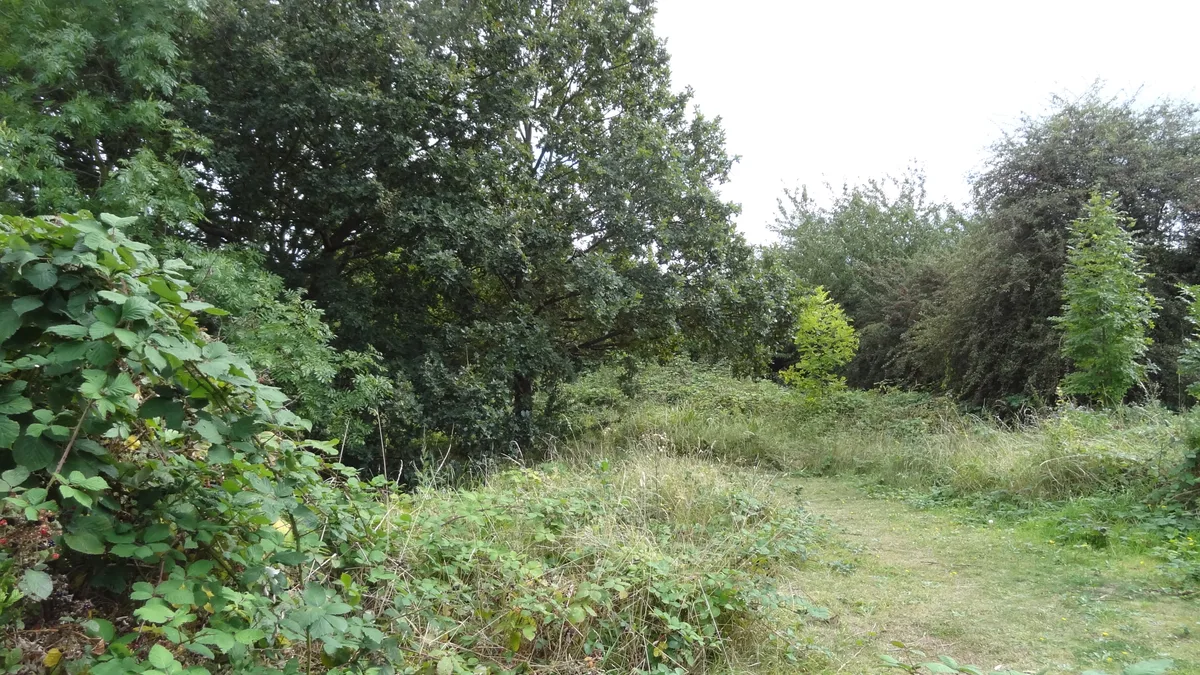
Barfield Allotments Nature Park
Wildlife reserves · 0.7 km

Oak Hill Park
Parks · 0.7 km
Nearby
📷 5📷 5Memorials & monuments · London
Sir Karl Popper
Sir Karl Popper — a memorial in england-london, United Kingdom.
📷 5Chapels · London
East Barnet
East Barnet — a methodist chapel in england-london, United Kingdom.
📷 5Memorials & monuments · London
Water Tower At Church Farm School
Water Tower At Church Farm School — a water tower in england-london, United Kingdom.
📷 5Historic churches · London
St Mary the Virgin, East Barnet
St Mary the Virgin, East Barnet — Grade II* listed building-listed church in england-london, United Kingdom.
📷 5Memorials & monuments · London
Clarke Family Monument In St Marys Churchyard
Clarke Family Monument In St Marys Churchyard — Grade II listed building-listed memorial in england-london, United Kingdom.
Where to eat & stay near Oakleigh Park Rail Cutting
Places to stay
 📷 5
📷 5 📷 5
📷 5 📷 5
📷 5 📷 5📷 5📷 5
Places to eat & drink
 📷 5
📷 5Historic pubs · London
The Alexandra, New Barnet
The Alexandra, New Barnet in England London, United Kingdom.
 📷 5
📷 5 📷 5
📷 5Historic pubs · London
Ye Olde Cherry Tree
Ye Olde Cherry Tree in England London, United Kingdom.
 📷 5
📷 5Historic pubs · London
Mitre Inn, Chipping Barnet
Mitre Inn, Chipping Barnet in England London, United Kingdom.
 📷 7
📷 7Restaurants · London
Miller & Carter
Miller & Carter — a restaurant in england london. Cuisine: steak. Brand: Miller & Carter.
 📷 5
📷 5More places in this region
 Flagship📷 10
Wildlife reserves · London
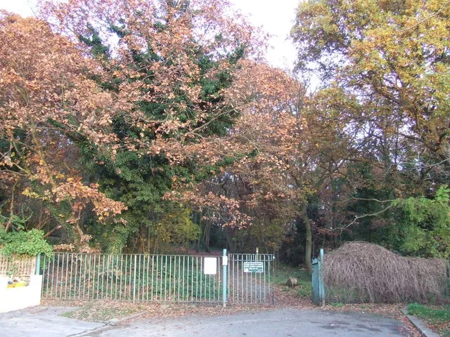
Bedfords Park
Bedfords Park — Havering London Borough green landscape, also an Essex Wildlife Trust Nature reserve.
 Flagship📷 10
 Flagship📷 10
Wildlife reserves · London
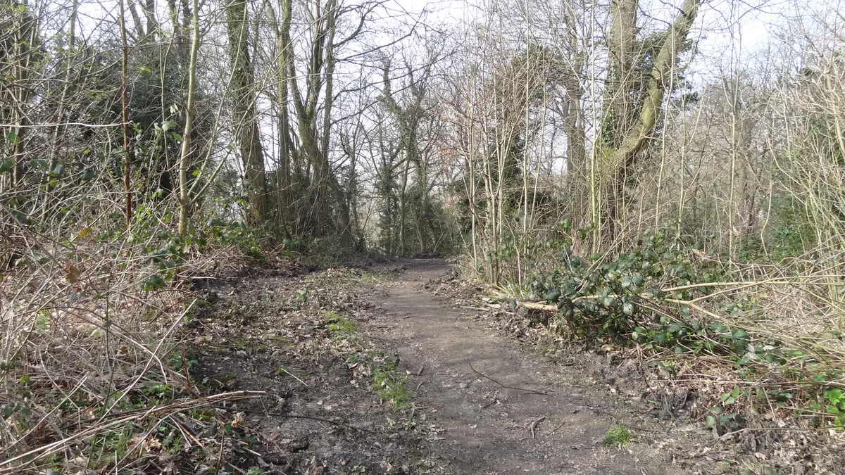
Bramley Bank
Bramley Bank — Nature reserve in Upper Shirley.
 Flagship📷 10
Wildlife reserves · London
Chafford Gorges Nature Park
Chafford Gorges Nature Park — Essex Wildlife Trust Nature reserve.
Frequently asked questions
- Where is Oakleigh Park Rail Cutting?
- Oakleigh Park Rail Cutting is in London, United Kingdom (postcode N20 9JP), in the parish of Barnet, unparished area.
- What is Oakleigh Park Rail Cutting?
- Oakleigh Park Rail Cutting is a wildlife reserve in the United Kingdom.
- How do I get to Oakleigh Park Rail Cutting?
- The nearest railway station is Oakleigh Park, about 0.6 km away. The nearest town is Elstree. Drivers can use postcode N20 9JP.
- Is Oakleigh Park Rail Cutting free to visit?
- Yes, Oakleigh Park Rail Cutting is free to enter.
- How do I get to Oakleigh Park Rail Cutting?
- The nearest railway station is Oakleigh Park, about 0.6 km away. Drivers can navigate to postcode N20 9JP.
- Are dogs allowed at Oakleigh Park Rail Cutting?
- Most wildlife reserves allow dogs on lead only, with restrictions during ground-nesting bird season (March-July). Check signage at the reserve.