Reservoirs & lochs · South West England
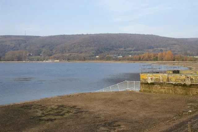
Nutscale Reservoir
In or near Porlock.
Nutscale Reservoir — reservoir in Somerset, England, UK.

Wikimedia Commons licence
Plan your visit
- Typical visit
- 1 h–2.5 h
- Free entry
- Dog-friendly
About
Nutscale Reservoir is a reservoir in the United Kingdom. Wikidata describes it as: "reservoir in Somerset, England, UK". Coordinates: 51.1770°, -3.6310°.
Photo gallery
Protected designations
- Site of Special Scientific Interest: North Exmoor SSSI
- National Nature Reserve: DUNKERY & HORNER WOOD
Designations sourced from Natural England open data under OGL v3.
From the Wikipedia article
Nutscale Reservoir is a reservoir located in Exmoor in north west Somerset, England. It was intended to supply the town of Minehead and nearby Porlock and Porlock Weir. The reservoir is part of the River Horner catchment area and is fed by Nutscale Water . The reservoir is no longer used for public drinking water supply. The reservoir was built in 1942. A mass concrete gravity arch dam, 90m along the crest and 14m high impounds 36,000,000 imperial gallons (160,000,000 L; 43,000,000 US gal). This was intended to relieve summer droughts in Minehead. High levels of geosmin were recorded in 2008. To manage the effects of this on tap water systems were developed to remove this reservoir from the drinking water supply when necessary and flush the pipe carrying the water. The site is operated by Wessex Water whose drought plan suggests that six months would be required to bring Nutscale back into supply operations in a severe drought. The fishing rights to the reservoir are owned by the National Trust, as part of its Holnicote Estate, and leased out privately.
Excerpt from Wikipedia under CC BY-SA 4.0. See the source article linked in Sources below.
- Coordinates
- 51.1770, -3.6310
- District
- Somerset
- Parish
- Luccombe
- Postcode
- TA24 8JU
- Parliamentary constituency
- Tiverton and Minehead
Sources
- wikidata: Q21995581 (CC0)
- wikipedia: Nutscale Reservoir (CC BY-SA 4.0)
Other places nearby

Little Hill
Mountains & hills · 1.6 km

Black Mires
Mountains & hills · 1.7 km

Berry Castle
Vineyards · 1.7 km

Pool Bridge
Campsites · 1.9 km
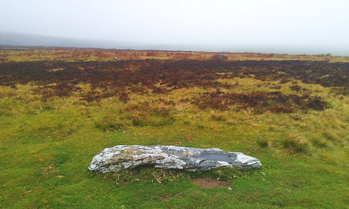
Porlock Stone Circle
Archaeological sites · 2.1 km

Great Rowbarrow
Mountains & hills · 2.3 km

Porlock Post
Mountains & hills · 2.3 km
Woodcocks Ley
Mountains & hills · 2.4 km
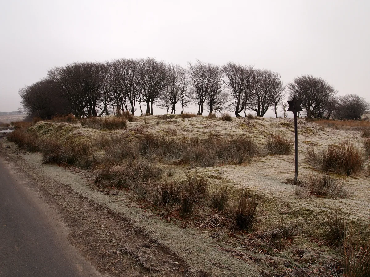
Alderman's Barrow at N of Almsworthy Common
Archaeological sites · 2.6 km

Hawkcombe Head
Mountains & hills · 3.0 km

Ley Hill
Mountains & hills · 3.0 km

The Whit Stones: two standing stones 230m west of Whitstone Post
Archaeological sites · 3.1 km
Nearby
📷 5Mountains & hills · South West England
Little Hill
Little Hill — mountain in england south west. Elevation: 465 m.
📷 5Mountains & hills · South West England
Black Mires
Black Mires — a hill or mountain in england south west.
📷 5Vineyards · South West England
Berry Castle
Berry Castle — a UK vineyard in england south west, producing English or Welsh wine from cool-climate grape varieties.
📷 5📷 5Archaeological sites · South West England
Porlock Stone Circle
Porlock Stone Circle — stone circle in Porlock, Somerset West and Taunton, England, UK.
Mountains & hills · South West England
Great Rowbarrow
Great Rowbarrow — mountain in england south west. Elevation: 510 m.
Where to eat & stay near Nutscale Reservoir
Places to stay
📷 5 📷 5
📷 5Campsites · South West England
Horner Wood Scout Campsite
Horner Wood Scout Campsite — a campsite in england south west.
 📷 5
📷 5 📷 5
📷 5Caravan parks · South West England
Porlock Caravan Park
Porlock Caravan Park — a caravan park in england south west.
 📷 5
📷 5Campsites · South West England
Sparkhayes Camping Site
Sparkhayes Camping Site — a campsite in england south west.
 📷 5
📷 5Caravan parks · South West England
Burrowhayes Caravan Park
Burrowhayes Caravan Park — a caravan park in england south west.
Places to eat & drink
 📷 7
📷 7Historic pubs · South West England
The Old Ship Aground Public House
The Old Ship Aground Public House in England South West, United Kingdom.
 📷 5
📷 5Historic pubs · South West England
Queens Hall, Minehead
Queens Hall, Minehead in England South West, United Kingdom.
 📷 7
📷 7 📷 5
📷 5Historic pubs · South West England
The Blue Ball Inn
The Blue Ball Inn in England South West, United Kingdom.
 📷 7
📷 7 📷 5
📷 5Historic pubs · South West England
Luttrell Arms
Luttrell Arms in England South West, United Kingdom.
More places in this region
 Flagship📷 10
Reservoirs & lochs · South West England
Cheddar Reservoir
Cheddar Reservoir — reservoir in Somerset, England.
 📷 5
📷 5Reservoirs & lochs · South West England
Ashford Reservoir
Ashford Reservoir — reservoir in Somerset, England, UK.
 📷 5
📷 5Reservoirs & lochs · South West England
Burrator Reservoir
Burrator Reservoir — reservoir in Devon, England.
 📷 5
📷 5Reservoirs & lochs · South West England
Chard Reservoir
Chard Reservoir — reservoir in Somerset, England, UK.
Frequently asked questions
- Where is Nutscale Reservoir?
- Nutscale Reservoir is in South-West England, United Kingdom (postcode TA24 8JU), in the parish of Luccombe.
- What is Nutscale Reservoir?
- Nutscale Reservoir — reservoir in Somerset, England, UK.
- How do I get to Nutscale Reservoir?
- Drivers can use postcode TA24 8JU.
- Is Nutscale Reservoir a protected site?
- Yes — Nutscale Reservoir is part of the North Exmoor SSSI Site of Special Scientific Interest and the DUNKERY & HORNER WOOD National Nature Reserve.
- Is Nutscale Reservoir free to visit?
- Yes, Nutscale Reservoir is free to enter.
- How do I get to Nutscale Reservoir?
- Drivers can navigate to postcode TA24 8JU. It sits within the Tiverton and Minehead parliamentary constituency.