
Wildlife reserves · East of England
Northey Island
In or near Mundon.
Northey Island — island in the estuary of the River Blackwater, Essex.

Wikimedia Commons contributors — see linked file page for photographer and licence licence

Plan your visit
- Typical visit
- 2 h–4 h
- Best time of year
- Autumn & winter (migration & wildfowl)
- Nearest railway station
- Althorne · 8.6 km
- Free entry
- Family-friendly
- Dog-friendly
- Limited wheelchair access
Getting there & planning your visit
Northey Island is located in Maldon, Essex, with the postcode CM9 4RY. The nearest railway station is Althorne, which is 8.6 km away. Entry to the reserve is free, but wheelchair accessibility is limited.
About
Northey Island is a wildlife reserve in the United Kingdom. Owned by National Trust. Managed by National Trust. Wikidata describes it as: "island in the estuary of the River Blackwater, Essex". Coordinates: 51.7230°, 0.7205°.
Photo gallery
Summary from the official site
Northey Island is a remote coastal site in the Blackwater Estuary, known for its natural beauty and wildlife. Visitors can explore a waymarked trail while enjoying views of the surrounding saltmarsh and estuary. The island is historically significant as the site of the Battle of Maldon in AD 991.
Read more on the official property page.
Protected designations
- Site of Special Scientific Interest: Blackwater Estuary SSSI
- Ramsar wetland: Blackwater Estuary (Mid-Essex Coast Phase 4)
Designations sourced from Natural England open data under OGL v3.
From the Wikipedia article
Northey Island is an island in the estuary of the River Blackwater, Essex. It is linked to the south bank of the river by a causeway, covered for up to 3 hours either side of high tide. The island is approximately 1 mile (2 km) to the east of Maldon, Essex and 1 mile (2 km) to the west of Osea Island. The island is owned by the National Trust. For accurate information on visiting safely, saltmarsh creation and managed realignment go to www.nationaltrust.org.uk/northey-island The Battle of Maldon, 991 is believed to have taken place on the causeway and the south bank of the Blackwater near the island. At that time the causeway is thought to have been half as long as it is presently – 120 yards rather than 240 yards today. Significant land reclamation was carried out by the Dutch contractor Nicholas Van Cropenrough in the early 18th century; he unwalled marshland to significantly enlarge the island but the walls were breached by the sea and the land returned to marshland on 29 November 1897. In 1923 Northey was bought by the writer and campaigner Norman Angell; in 1933 he was awarded the Nobel Peace Prize. The island is part of the Blackwater Estuary Site of Special Scientific Interest. Northey is home to diverse birdlife and this is reflected in the place name 'Awl Creek' which perpetuates the traditional Essex dialect word for the Avocet. At one time Northey was home to more species than it is now. The island was one of the last southern strongholds of the raven, the last bird being taken from the Ladies grove in 1888. It is one of 43 (unbridged) tidal islands which can be walked to from the British mainland and one of six such tidal islands in Essex.
Excerpt from Wikipedia under CC BY-SA 4.0. See the source article linked in Sources below.
- Coordinates
- 51.7230, 0.7205
- County
- Essex
- District
- Maldon
- Parish
- Heybridge Basin
- Postcode
- CM9 4RY
- Parliamentary constituency
- Maldon
- Nearest railway station
- Althorne — 8.6 km
- Opening
- 1 April–30 September; access via causeway limited by tide times
- Official site
- www.nationaltrust.org.uk
Sources
- wikidata: Q7059348 (CC0)
- wikipedia: Northey Island (CC BY-SA 4.0)
- commons: Northey Hulks - geograph.org.uk - 1462899.jpg (CC BY-SA 4.0)
Other places nearby

River Chelmer
Museums · 0.9 km

Mill Beach
Beaches · 1.2 km

Osea Leisure Park
Caravan parks · 1.4 km
.jpg?width=1200)
The Battle of Maldon
Forts · 1.4 km

Mill Beach Caravan Park
Caravan parks · 1.4 km
Osea Leisure Park
Campsites · 1.5 km

Byrhtnoth the Ealdorman of Essex
Public art & sculpture · 1.5 km
Byrhtnoth
Public art & sculpture · 1.5 km

Barrow Marsh Caravan Park
Caravan parks · 1.7 km
Happy Days Caravan Park
Caravan parks · 1.7 km

Vaulty Manor
Manor houses · 1.8 km

Promanade Park Zoo
Zoos & aquariums · 2.0 km
Nearby
📷 5📷 3📷 5Caravan parks · East of England
Osea Leisure Park
Osea Leisure Park — a caravan park in england east.
📷 3Forts · East of England
The Battle of Maldon
The Battle of Maldon is a fort in the United Kingdom.
📷 5Caravan parks · East of England
Mill Beach Caravan Park
Mill Beach Caravan Park — a caravan park in england east.
📷 5Where to eat & stay near Northey Island
Places to stay
📷 5Caravan parks · East of England
Osea Leisure Park
Osea Leisure Park — a caravan park in england east.
📷 5Caravan parks · East of England
Mill Beach Caravan Park
Mill Beach Caravan Park — a caravan park in england east.
📷 5📷 5Caravan parks · East of England
Barrow Marsh Caravan Park
Barrow Marsh Caravan Park — a caravan park in england east.
📷 5Caravan parks · East of England
Happy Days Caravan Park
Happy Days Caravan Park — a caravan park in england east.
 📷 5
📷 5Places to eat & drink
 📷 7
📷 7Restaurants · East of England
The Waffle Bar
The Waffle Bar — a restaurant in england east.
 📷 7
📷 7 📷 5
📷 5 📷 5
📷 5 📷 7
📷 7 📷 5
📷 5Historic pubs · East of England
The Mayland Mill Public House
The Mayland Mill Public House in England East, United Kingdom.
More places run by National Trust
 Flagship📷 10
Parks · London
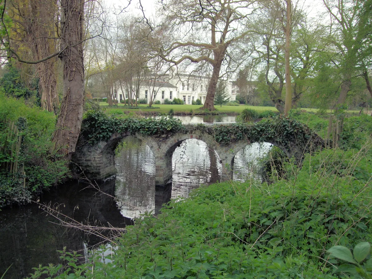
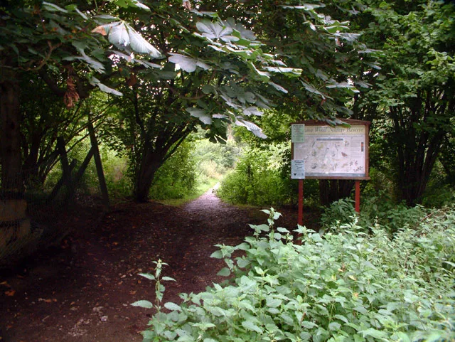
Morden Hall Park
Morden Hall Park — park in Morden, London.
 Flagship📷 10
 📷 5
📷 5Gardens · London
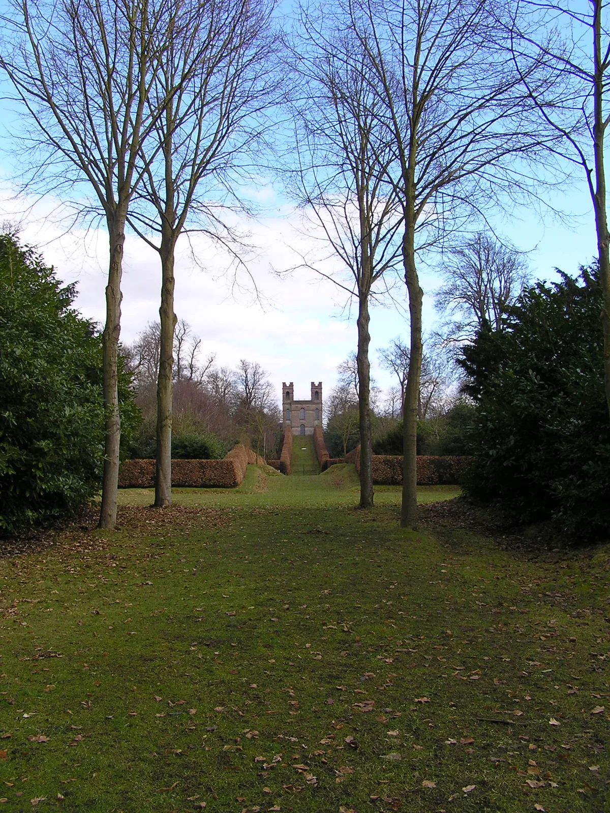
Claremont Landscape Garden
Claremont Landscape Garden — historic garden in Surrey, England, UK.
 📷 5
📷 5Stately homes · London
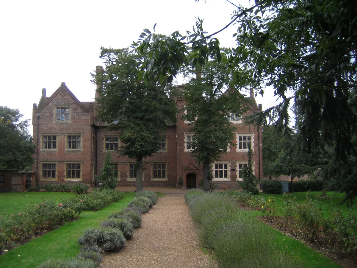
Eastbury Manor House
Eastbury Manor House — Grade I listed historic house museum in London Borough of Barking and Dagenham, United Kingdom.
More places in this region
 Flagship📷 10
Wildlife reserves · East of England
Amwell Quarry
Amwell Quarry — nature reserve in United Kingdom.
 Flagship📷 10
Wildlife reserves · East of England
Aubrey Buxton Nature Reserve
Aubrey Buxton Nature Reserve — Essex Wildlife Trust Nature reserve.
 Flagship📷 10
Wildlife reserves · East of England
Canvey Wick
Canvey Wick — nature reserve in Essex, United Kingdom.
 Flagship📷 10
Wildlife reserves · East of England
Crowsheath Wood
Crowsheath Wood — Essex Wildlife Trust Nature reserve.
Frequently asked questions
- Where is Northey Island?
- Northey Island is in Essex, East of England, United Kingdom (postcode CM9 4RY), in the parish of Heybridge Basin.
- What is Northey Island?
- Northey Island — island in the estuary of the River Blackwater, Essex.
- How do I get to Northey Island?
- The nearest railway station is Althorne, about 8.6 km away. The nearest town is Mundon. Drivers can use postcode CM9 4RY.
- Who runs Northey Island?
- Northey Island is operated by National Trust.
- Is Northey Island a protected site?
- Yes — Northey Island is part of the Blackwater Estuary SSSI Site of Special Scientific Interest and the Blackwater Estuary (Mid-Essex Coast Phase 4) Ramsar wetland.
- Is Northey Island free to visit?
- Yes, Northey Island is free to enter.
- How do I get to Northey Island?
- Drivers can navigate to postcode CM9 4RY. It sits within the Maldon parliamentary constituency.
- Are dogs allowed at Northey Island?
- Most wildlife reserves allow dogs on lead only, with restrictions during ground-nesting bird season (March-July). Check signage at the reserve.