Holy wells · East Midlands
North East Boundary Walls At Cromford Wharf
North East Boundary Walls At Cromford Wharf — Grade II listed wall in Cromford, Derbyshire Dales, Derbyshire, England, UK.

Wikimedia Commons contributors — see linked file page for photographer and licence licence
Plan your visit
- Typical visit
- 15 min–30 min
- Nearest railway station
- Cromford · 0.5 km
- Free entry
- Dog-friendly
- Wheelchair accessible
About
North East Boundary Walls At Cromford Wharf is a place of interest in Derbyshire, the East Midlands. Officially recognised as Grade II listed building. It sits within the Derbyshire Dales parliamentary constituency. The nearest railway station is Cromford, about 0.5 km away. Postcode area DE4.
Photo gallery
Place summary
North East Boundary Walls at Cromford Wharf is located in Cromford, Derbyshire, in the East Midlands. This structure is recognised as a Grade II listed building, reflecting its historical significance.
AI-generated from the structured facts on this page (operator, designation, listing, era). Not a substitute for visiting.
- Coordinates
- 53.1100, -1.5538
- County
- Derbyshire
- District
- Derbyshire Dales
- Parish
- Cromford
- Postcode
- DE4 3RQ
- Parliamentary constituency
- Derbyshire Dales
- Nearest railway station
- Cromford — 0.5 km
- Official site
- www.derwentvalleymills.org
Sources
- wikidata: Q26320200 (CC0)
- commons: Cromford - North East Boundary Walls At Cromford Wharf - 20220904135320.jpeg (CC BY-SA 4.0)
Other places nearby
Loading nearby places…
Nearby
 📷 3
📷 3Historic churches · East Midlands
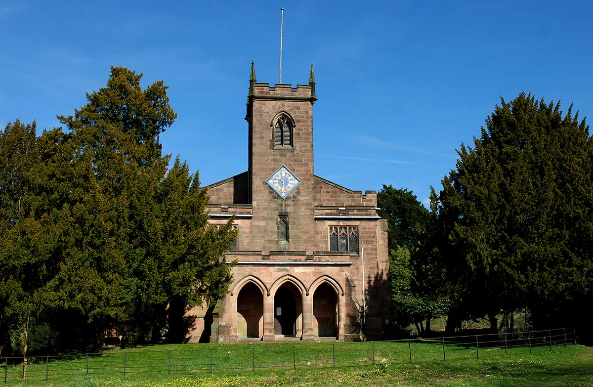
St Mary's Church, Cromford
St Mary's Church, Cromford — Grade I listed church in Cromford, Derbyshire Dales, UK.
 📷 3
📷 3Holy wells · East Midlands
North West Boundary Walls At Cromford Wharf
North West Boundary Walls At Cromford Wharf — building in Cromford, Derbyshire Dales, Derbyshire, England, UK.
 📷 3
📷 3Historic bridges · East Midlands
Cromford Bridge
Cromford Bridge — scheduled monument-listed bridge in england-east-midlands, United Kingdom.
 📷 3
📷 3Museums · East Midlands
Cromford Mills
Cromford Mills — a museum in england-east-midlands, United Kingdom.
 ★ Iconic📷 5
Museums · East Midlands
Cromford Mill
Cromford Mill is the world's first water-powered cotton spinning mill, developed by Richard Arkwright in 1771 in Cromford, Derbyshire, England. The mill structure is classified as a Grade I listed bui
 📷 3
📷 3Historic houses · East Midlands
Bridge House
Bridge House — Grade II* listed house in Cromford, Derbyshire Dales, England, UK.
More places in this region
 📷 3
📷 3Holy wells · East Midlands
Boundary Wall Extending Along Eastern Boundary Of Footpath Between Number 65 And The Churchyard Of St Bartholomew's Church
Boundary Wall Extending Along Eastern Boundary Of Footpath Between Number 65 And The Churchyard Of St Bartholomew's Church — wall in Chesterfield, Derbyshire, England, UK.
 📷 3
📷 3Holy wells · East Midlands
Close Wall between Number 16a Minster Yard and the Deanery
Close Wall between Number 16a Minster Yard and the Deanery — Grade I listed wall in Lincoln, United Kingdom.
 📷 3
📷 3Holy wells · East Midlands
Close Wall To South And West Of The Deanery
Close Wall To South And West Of The Deanery — Grade I listed wall in Lincoln, Lincolnshire, England, UK.
.jpg?width=1200) 📷 3
📷 3Holy wells · East Midlands
Colonia Wall And Lower West Gate
Colonia Wall And Lower West Gate — Grade I listed wall in Lincoln, Lincolnshire, England, UK.
Frequently asked questions
- Where is North East Boundary Walls At Cromford Wharf?
- North East Boundary Walls At Cromford Wharf is in Derbyshire, the East Midlands, United Kingdom (postcode DE4 3RQ), in the parish of Cromford.
- Is North East Boundary Walls At Cromford Wharf a listed building?
- North East Boundary Walls At Cromford Wharf is officially recognised as Grade II listed building listed.
- Is North East Boundary Walls At Cromford Wharf free to visit?
- Yes, North East Boundary Walls At Cromford Wharf is free to enter.
- How do I get to North East Boundary Walls At Cromford Wharf?
- The nearest railway station is Cromford, about 0.5 km away. Drivers can navigate to postcode DE4 3RQ.