
Wildlife reserves · Yorkshire & the Humber
North Cave Wetlands
In or near Everthorpe.
North Cave Wetlands — nature reserve at North Cave, East Riding of Yorkshire, England, managed by the Yorkshire Wildlife Trust.

Wikimedia Commons contributors — see linked file page for photographer and licence licence

Plan your visit
- Typical visit
- 2 h–4 h
- Best time of year
- Autumn & winter (migration & wildfowl)
- Nearest railway station
- Broomfleet · 5.3 km
- Free entry
- Family-friendly
- Dog-friendly
- Limited wheelchair access
About
North Cave Wetlands is a wildlife reserve in the United Kingdom. Managed by Yorkshire Wildlife Trust. Wikidata describes it as: "nature reserve at North Cave, East Riding of Yorkshire, England, managed by the Yorkshire Wildlife Trust". Coordinates: 53.7870°, -0.6589°.
Photo gallery
From the Wikipedia article
North Cave Wetlands is a nature reserve at North Cave, East Riding of Yorkshire, England, managed by the Yorkshire Wildlife Trust. The reserve based at Dryham Lane is 40 hectares (99 acres) in size and comprises six lakes, restored from a former sand and gravel quarry. There are five bird hides. Expansion is eventually planned, onto additional pits, which are currently still being quarried.
Excerpt from Wikipedia under CC BY-SA 4.0. See the source article linked in Sources below.
- Coordinates
- 53.7870, -0.6589
- District
- East Riding of Yorkshire
- Parish
- North Cave
- Postcode
- HU15 2LY
- Parliamentary constituency
- Goole and Pocklington
- Nearest railway station
- Broomfleet — 5.3 km
Sources
- wikidata: Q7054714 (CC0)
- wikipedia: North Cave Wetlands (CC BY-SA 4.0)
- commons: North Cave Wetlands from main hide.JPG (CC BY-SA 4.0)
Other places nearby

North Cave Wetlands
Forests & woodlands · 0.2 km

Paper Mill House
Watermills · 1.1 km

North Cave War Memorial
Memorials & monuments · 1.2 km

Hotham Hall
Historic houses · 1.3 km

Hotham War Memorial
Memorials & monuments · 1.5 km

Everthorpe
Towns & cities · 2.6 km

North Cliffe
Villages · 3.3 km

Cave Castle Gate House
Follies · 3.8 km
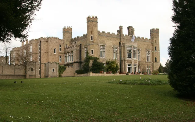
Cave Castle
Castles · 3.8 km

Bridge Spanning Drainage Channel To The North Of Sodhouse Lock
Historic bridges · 4.2 km

Institute Cinema
Theatres · 4.3 km

Fox And Coney Public House
Historic pubs · 4.3 km
Nearby
📷 5Forests & woodlands · Yorkshire & the Humber
North Cave Wetlands
North Cave Wetlands is a forest or woodland in the United Kingdom.
📷 3Watermills · Yorkshire & the Humber
Paper Mill House
Paper Mill House — Grade II listed building-listed watermill in england-yorkshire, United Kingdom.
📷 3Memorials & monuments · Yorkshire & the Humber
North Cave War Memorial
North Cave War Memorial — Grade II listed building-listed memorial in england-yorkshire, United Kingdom.
📷 3Historic houses · Yorkshire & the Humber
Hotham Hall
Hotham Hall — house in North Cave, East Riding of Yorkshire, England, UK.
📷 3Memorials & monuments · Yorkshire & the Humber
Hotham War Memorial
Hotham War Memorial — Grade II listed building-listed memorial in england-yorkshire, United Kingdom.
📷 5Towns & cities · Yorkshire & the Humber
Everthorpe
Everthorpe — village in the East Riding of Yorkshire, England, UK.
Where to eat & stay near North Cave Wetlands
Places to stay
 📷 5
📷 5 📷 5
📷 5Hotels · Yorkshire & the Humber
The Londesborough Arms Hotel
The Londesborough Arms Hotel — a hotel in england yorkshire.
 📷 5
📷 5Campsites · Yorkshire & the Humber
Manor Farm Campsite
Manor Farm Campsite — a campsite in england yorkshire.
 📷 5
📷 5 📷 5
📷 5 📷 5
📷 5Campsites · Yorkshire & the Humber
Raywell Park
Raywell Park — a campsite in england yorkshire.
Places to eat & drink
📷 7Historic pubs · Yorkshire & the Humber
Fox And Coney Public House
Fox And Coney Public House in England Yorkshire, United Kingdom.
 📷 6
📷 6Historic pubs · Yorkshire & the Humber
The Tiger Public House
The Tiger Public House in England Yorkshire, United Kingdom.
 📷 5
📷 5Historic pubs · Yorkshire & the Humber
The Buccaneer Public House
The Buccaneer Public House in England Yorkshire, United Kingdom.
 📷 5
📷 5Historic pubs · Yorkshire & the Humber
The Blacksmith Arms
The Blacksmith Arms in England Yorkshire, United Kingdom.
 📷 5
📷 5Restaurants · Yorkshire & the Humber
Papa's Fish and Chips
Papa's Fish and Chips — a restaurant in england yorkshire. Cuisine: fish;fish and chips;chips. Brand: Papa's.
 📷 5
📷 5Historic pubs · Yorkshire & the Humber
The Cross Keys
The Cross Keys in England Yorkshire, United Kingdom.
More places in this region
 📷 3
📷 3Wildlife reserves · Yorkshire & the Humber
Eastwood Nature Reserve
Eastwood Nature Reserve is a wildlife reserve in the United Kingdom.
 📷 3
📷 3Wildlife reserves · Yorkshire & the Humber
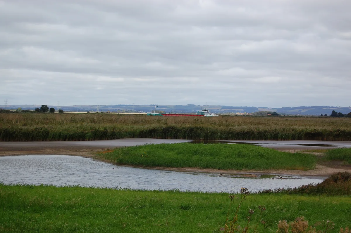
Blacktoft Sands RSPB reserve
Blacktoft Sands RSPB reserve — RSPB nature reserve in England.
 Flagship📷 3
Wildlife reserves · Yorkshire & the Humber
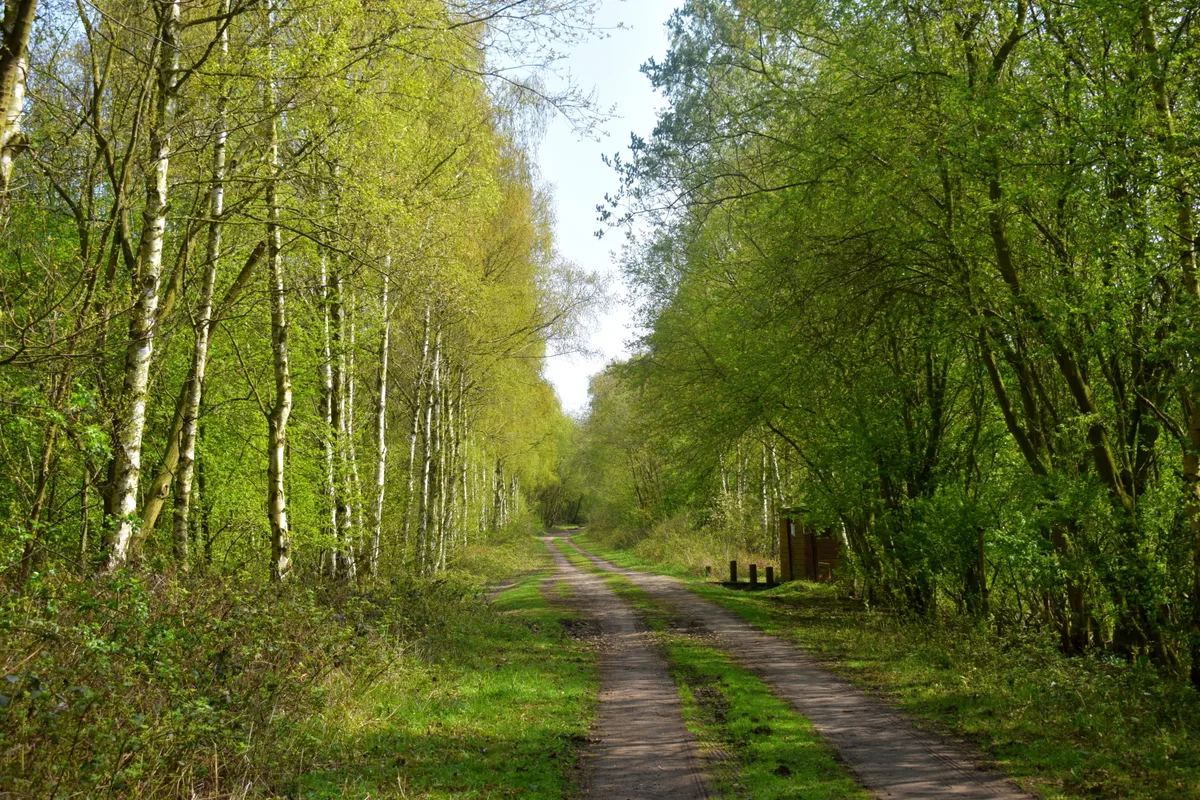
Thorpe Marsh Nature Reserve
Thorpe Marsh Nature Reserve — Nature reserve in South Yorkshire.
 📷 5
📷 5Wildlife reserves · Yorkshire & the Humber
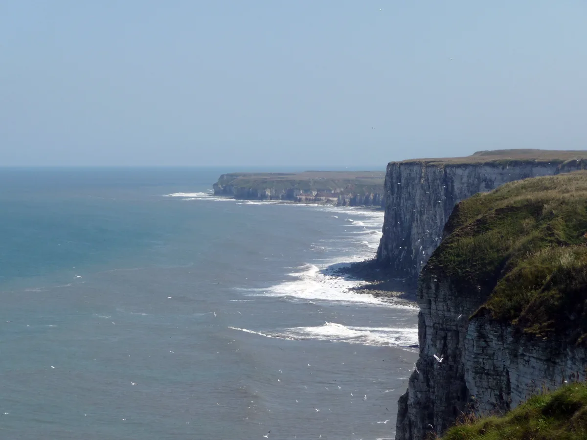
Bempton Cliffs RSPB reserve
Bempton Cliffs RSPB reserve — RSPB nature reserve in the United Kingdom.
Frequently asked questions
- Where is North Cave Wetlands?
- North Cave Wetlands is in Yorkshire, United Kingdom (postcode HU15 2LY), in the parish of North Cave.
- What is North Cave Wetlands?
- North Cave Wetlands — nature reserve at North Cave, East Riding of Yorkshire, England, managed by the Yorkshire Wildlife Trust.
- How do I get to North Cave Wetlands?
- The nearest railway station is Broomfleet, about 5.3 km away. The nearest town is Everthorpe. Drivers can use postcode HU15 2LY.
- Who runs North Cave Wetlands?
- North Cave Wetlands is operated by Yorkshire Wildlife Trust.
- Is North Cave Wetlands free to visit?
- Yes, North Cave Wetlands is free to enter.
- How do I get to North Cave Wetlands?
- The nearest railway station is Broomfleet, about 5.3 km away. Drivers can navigate to postcode HU15 2LY.
- Are dogs allowed at North Cave Wetlands?
- Most wildlife reserves allow dogs on lead only, with restrictions during ground-nesting bird season (March-July). Check signage at the reserve.