Mountains & hills · Scottish Lowlands
Normangill Rig
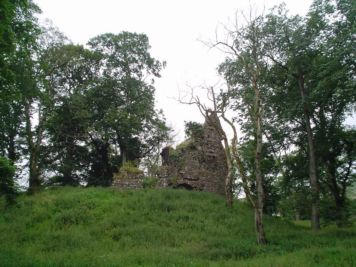
Normangill Rig — mountain in scotland lowlands. Elevation: 354 m.

James T M Towill — CC BY-SA 2.0 via Wikimedia Commons licence
Plan your visit
- Typical visit
- 3 h–8 h
- Best time of year
- Late spring – early autumn (May–Oct)
About
Normangill Rig is a mountain located in scotland lowlands. Elevation: 354 m. A named British peak recorded in OpenStreetMap. Peaks are typically named on Ordnance Survey 1:50k mapping.
Photo gallery
Place summary
Normangill Rig is a mountain located in the Scottish Lowlands. This area offers varied terrain and scenic views typical of the region. Visitors can expect opportunities for hiking and enjoying the natural landscape. The mountain is part of the wider rolling hills and valleys characteristic of the Lowlands.
AI-generated from the structured facts on this page (operator, designation, listing, era). Not a substitute for visiting.
- Coordinates
- 55.4768, -3.6295
Sources
- osm: n343801176 (ODbL)
Other places nearby
Loading nearby places…
Nearby
 📷 3
📷 3Archaeological sites · Scottish Lowlands
Normangill Henge
Normangill Henge — a archaeological in scotland-lowlands, United Kingdom.
 📷 5
📷 5Mountains & hills · Scottish Lowlands
Coupland Hill
Coupland Hill — a hill or mountain in scotland lowlands.
📷 5Mountains & hills · Scottish Lowlands
Coupland Hill
Coupland Hill — mountain in scotland lowlands. Elevation: 88 m.
 📷 3
📷 3Castles · Scottish Lowlands
Lindsay Tower - Crawford Castle
Lindsay Tower - Crawford Castle — a castle in scotland-lowlands, United Kingdom.
 📷 3
📷 3Castles · Scottish Lowlands
Crawford Castle
Crawford Castle — castle in South Lanarkshire, Scotland, UK.
 📷 5
📷 5Historic churches · Scottish Lowlands
Parish Church, Crawford
Parish Church, Crawford — category B listed building-listed church in scotland-lowlands, United Kingdom.
Where to eat & stay near Normangill Rig
Places to stay
 📷 5
📷 5Caravan parks · Scottish Lowlands
Mount View Caravan Park
Mount View Caravan Park — a caravan park in scotland lowlands.
 📷 5
📷 5Campsites · Central Scotland
Collierhall Farm Caravan Site
Collierhall Farm Caravan Site — a campsite in scotland central.
 📷 5
📷 5Hostels · Scottish Lowlands
Rivox Bunkhouse
Rivox Bunkhouse — a hostel in scotland lowlands.
 📷 5
📷 5Campsites · Scottish Lowlands
Informal campsite- no facilities
Informal campsite- no facilities — a campsite in scotland lowlands.
 📷 5
📷 5Campsites · Central Scotland
Biggar Caravan Park
Biggar Caravan Park — a campsite in scotland central.
 📷 5
📷 5Hotels · Central Scotland
The Elphinstone Hotel
The Elphinstone Hotel — a hotel in scotland central.
Places to eat & drink
 📷 5
📷 5Historic pubs · Scottish Lowlands
Post Horn Hotel, Crawford
Post Horn Hotel, Crawford in Scotland Lowlands, United Kingdom.
 📷 5
📷 5Historic pubs · Scottish Lowlands
Hopetoun Arms Hotel, Leadhills
Hopetoun Arms Hotel, Leadhills in Scotland Lowlands, United Kingdom.
 📷 5
📷 5Historic pubs · Central Scotland
Douglas Arms Hotel, Douglas
Douglas Arms Hotel, Douglas in Scotland Central, United Kingdom.
 📷 5
📷 5Historic pubs · Central Scotland
The Clydesdale Inn
The Clydesdale Inn in Scotland Central, United Kingdom.
 📷 5
📷 5Historic pubs · Central Scotland
74 Main Street, Carnwath
74 Main Street, Carnwath in Scotland Central, United Kingdom.
More mountains in this region
 📷 3
📷 3Mountains & hills · Scottish Lowlands
Andrewhinney Hill
Andrewhinney Hill — Named summit at 677 m.
 📷 3
📷 3Mountains & hills · Scottish Lowlands
Arbory Hill
Arbory Hill — Named summit at 429 m.
 📷 3
📷 3Mountains & hills · Scottish Lowlands
Auchenton Hill ( East Mount Lowther)
Auchenton Hill ( East Mount Lowther) — Named summit at 631 m.
 📷 3
📷 3Mountains & hills · Scottish Lowlands
Bakestall
Bakestall — Named summit at 673.5 m.
Frequently asked questions
- Where is Normangill Rig?
- Normangill Rig is in the Scottish Lowlands, United Kingdom.
- What is Normangill Rig?
- Normangill Rig — mountain in scotland lowlands. Elevation: 354 m.
- How do I get to Normangill Rig?
- Its coordinates are 55.4768°, -3.6295°.