
Canals · East of England
New River
In or near Goffs Oak.
New River — artificial waterway built to supply water to London, England.

Wikimedia Commons contributors — see linked file page for photographer and licence licence

Plan your visit
- Typical visit
- 1 h–2 h
- Nearest railway station
- Broxbourne · 0.3 km
- Free entry
- Dog-friendly
Getting there & planning your visit
To visit the New River, the nearest railway station is Broxbourne, located 0.3 km away. The postcode for navigation is EN10 7AT, and entry is free.
About
New River is a canal in the United Kingdom. Managed by Thames Water. Wikidata describes it as: "artificial waterway built to supply water to London, England". Coordinates: 51.7451°, -0.0138°.
Photo gallery
From the Wikipedia article
The New River is an artificial waterway in England, opened in 1613 to supply London with fresh drinking water taken from Chadwell and Amwell Springs near Ware in Hertfordshire, and later the River Lea and other sources. Originally conceived by Edmund Colthurst and completed by Hugh Myddelton, it was operated by the New River Company for nearly 300 years until London's water supply was taken over by the Metropolitan Water Board in 1904. Although it was once threatened with closure, a large section of the New River remains part of London's water supply infrastructure, today operated by Thames Water, more than 400 years after it was first constructed. The New River originally followed the land contours but certain parts have been straightened over the centuries. There is a designated walking route along the canal called the New River Path. It is a 28-mile (45 km) long-distance footpath which follows the course of the New River as closely as possible from its source in Hertfordshire to its original end in Islington, London.
Excerpt from Wikipedia under CC BY-SA 4.0. See the source article linked in Sources below.
Background
Architecture
.]] The design and construction of the New River is often attributed solely to Hugh Myddelton. In 1602, Edmund Colthurst first proposed the idea of digging an artificial waterway to supply London from Chadwell and Amwell springs near Ware in Hertfordshire, and obtained a charter from King James I in 1604 to carry it out. However, much of the water was obtained from streams tapped along its route, including the Hackney Brook. After surveying the route and digging the first 2 mi stretch, Colthurst encountered financial difficulties and it fell to Myddelton to complete the work between 1609 and its official opening on 29 September 1613. The project was also rescued by the King personally,…
Visiting
The New River is still in use today, transferring around 220 million litres of water per day 8% of London's total use. Near Turkey Brook in Enfield, water is taken from the New River via the Northern Transfer Tunnel, which feeds King George V Reservoir at the top of the Lee Valley Reservoir Chain. Further south, adjacent to Alexandra Park, water is taken from the New River for treatment at Hornsey Water Treatment Works. The New River now terminates at the East Reservoir in Stoke Newington, into which its flow is entirely diverted. Water from Stoke Newington is transferred to the lower end of the Lee Valley reservoirs via the Amhurst Main, which has a capacity of 90 million litres per day,…
Sourced from Wikipedia under CC BY-SA 4.0.
- Coordinates
- 51.7451, -0.0138
- County
- Hertfordshire
- District
- Broxbourne
- Parish
- Broxbourne, unparished area
- Postcode
- EN10 7AT
- Parliamentary constituency
- Broxbourne
- Nearest railway station
- Broxbourne — 0.3 km
Sources
- wikidata: Q4579962 (CC0)
- wikipedia: New River (London) (CC BY-SA 4.0)
- commons: New Gauge.jpg (CC BY-SA 4.0)
Other places nearby

Church of St Augustine, Broxbourne
Historic churches · 0.1 km

Broxbourne Mill
Watermills · 0.2 km

Broxbourne railway station
Heritage railway stations · 0.3 km

Lee Valley Almost Wild Campsite
Campsites · 0.6 km

Broxbourne
Museums · 0.7 km

Carthagena Lock
Canal locks · 0.8 km
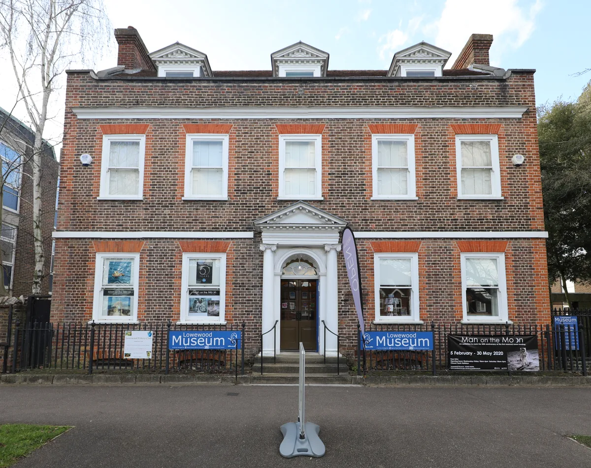
Lowewood Museum
Museums · 1.1 km

Spotlight Theatre
Theatres · 1.2 km

Lee Valley Dobbs Weir
Campsites · 1.4 km
.jpg?width=1200)
Rawdon House
Historic houses · 1.4 km

Dobbs Weir Lock
Canal locks · 1.4 km

The Golden Lion Inn
Historic pubs · 1.5 km
Nearby
Flagship📷 5Historic churches · East of England
Church of St Augustine, Broxbourne
Church of St Augustine, Broxbourne — a Grade I-listed church in england-london, United Kingdom.
📷 5Watermills · East of England
Broxbourne Mill
Broxbourne Mill is a watermill in the United Kingdom.
📷 5Heritage railway stations · East of England
Broxbourne railway station
Broxbourne railway station — a Grade II-listed railway station in england-london, United Kingdom.
📷 5Campsites · East of England
Lee Valley Almost Wild Campsite
Lee Valley Almost Wild Campsite — a campsite in england london.
📷 5Museums · East of England
Broxbourne
Broxbourne is a town in the Borough of Broxbourne in Hertfordshire, England, with a population of 15,303 at the 2011 Census. It is located to the south of Hoddesdon and to the north of Cheshunt, 17 mi
📷 5Canal locks · East of England
Carthagena Lock
Carthagena Lock — lock in Hertfordshire, England, UK.
Where to eat & stay near New River
Places to stay
📷 5Campsites · East of England
Lee Valley Almost Wild Campsite
Lee Valley Almost Wild Campsite — a campsite in england london.
📷 5Campsites · East of England
Lee Valley Dobbs Weir
Lee Valley Dobbs Weir — a campsite in england london.
 📷 5
📷 5Hotels · East of England
The Bell Hotel and Tea Rooms
The Bell Hotel and Tea Rooms — a hotel in england london.
 📷 5
📷 5Campsites · East of England
Danemead Scout Campsite
Danemead Scout Campsite — a campsite in england london.
 📷 5
📷 5 📷 5
📷 5Places to eat & drink
📷 5Historic pubs · East of England
The Golden Lion Inn
The Golden Lion Inn in England East, United Kingdom.
 📷 5
📷 5Historic pubs · East of England
The Salisbury Arms
The Salisbury Arms in England East, United Kingdom.
 📷 5
📷 5Historic pubs · East of England
The Woodman Public House
The Woodman Public House in England East, United Kingdom.
 📷 5
📷 5Historic pubs · East of England
The Galley Hall Public House
The Galley Hall Public House in England East, United Kingdom.
 📷 7
📷 7Historic pubs · East of England
White Hart Public House
White Hart Public House in England East, United Kingdom.
 📷 5
📷 5Historic pubs · East of England
Jolly Fisherman Public House
Jolly Fisherman Public House in England East, United Kingdom.
More places run by Thames Water
 📷 5
📷 5Reservoirs & lochs · London
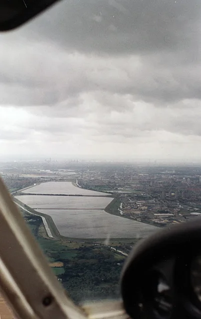
William Girling Reservoir
William Girling Reservoir — reservoir in the London Borough of Enfield, England, United Kingdom.
More places in this region
 📷 5
📷 5 📷 5
📷 5 📷 5
📷 5Canals · East of England
Cambridgeshire Lodes
Cambridgeshire Lodes — series of man-made waterways in the county of Cambridgeshire, England.
 📷 5
📷 5Frequently asked questions
- Where is New River?
- New River is in Hertfordshire, East of England, United Kingdom (postcode EN10 7AT), in the parish of Broxbourne, unparished area.
- What is New River?
- New River — artificial waterway built to supply water to London, England.
- How do I get to New River?
- The nearest railway station is Broxbourne, about 0.3 km away. The nearest town is Goffs Oak. Drivers can use postcode EN10 7AT.
- Who runs New River?
- New River is operated by Thames Water.
- Is New River free to visit?
- Yes, New River is free to enter.
- How do I get to New River?
- The nearest railway station is Broxbourne, about 0.3 km away. Drivers can navigate to postcode EN10 7AT.