Mountains & hills · South Wales
Mynydd Pen-Rhys
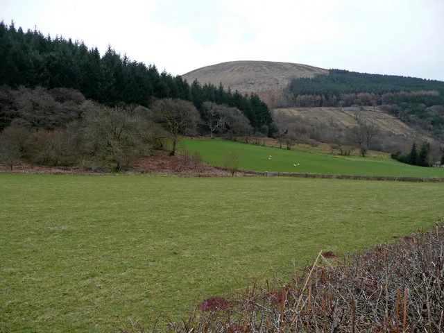
Mynydd Pen-Rhys — Named summit at 285 m.

Wikimedia Commons contributors — see linked file page for photographer and licence licence
Plan your visit
- Typical visit
- 3 h–8 h
- Best time of year
- Late spring – early autumn (May–Oct)
- Nearest railway station
- Neath · 5.4 km
- Free entry
- Dog-friendly
About
Mynydd Pen-Rhys is a named summit in the United Kingdom. Wikidata describes it as: "Named summit at 285 m.". Coordinates: 51.6403°, -3.7372°.
Photo gallery
Place summary
Mynydd Pen-Rhys is a mountain located in South Wales, within the parish of Pelenna. It is notable for its elevation and natural landscape, offering views of the surrounding area. The mountain is part of the diverse topography that characterises this region.
AI-generated from the structured facts on this page (operator, designation, listing, era). Not a substitute for visiting.
- Coordinates
- 51.6403, -3.7372
- District
- Neath Port Talbot
- Parish
- Pelenna
- Postcode
- SA12 9TN
- Parliamentary constituency
- Aberafan Maesteg
- Nearest railway station
- Neath — 5.4 km
Sources
- osm: n272803176 (ODbL)
- commons: Little Switzerland - geograph.org.uk - 845259.jpg (CC BY-SA 4.0)
Other places nearby
Loading nearby places…
Nearby
 📷 3
📷 3Historic bridges · South Wales
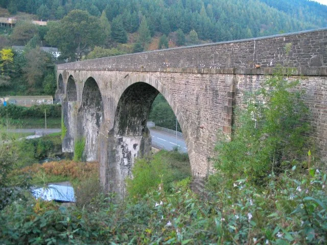
Afan Forest Park High Bridge
Afan Forest Park High Bridge — a bridge in wales-south, United Kingdom.
 📷 3
📷 3Aqueducts · South Wales
Bont Fawr Aqueduct
Bont Fawr Aqueduct is a aqueduct in the United Kingdom.
Hostels · South Wales
Bryn Bettws Lodge
Bryn Bettws Lodge — a hostel in wales south.
 📷 2
📷 2Mountains & hills · South Wales
Moel y Fen
Moel y Fen — a mountain in wales-south, United Kingdom, 267 m.
 📷 3
📷 3Mountains & hills · South Wales
Foel Fynyddau
Foel Fynyddau — a mountain in wales-south, United Kingdom, 370 m.
 📷 3
📷 3Museums · South Wales
Afan Forest Mining museum
Afan Forest Mining museum — a museum in wales-south, United Kingdom.
More mountains in this region
 Flagship📷 3
Mountains & hills · South Wales
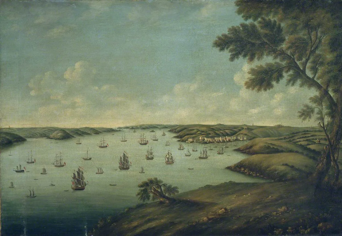
Milford Haven Waterway
Milford Haven Waterway — ria, or flooded valley, in Pembrokeshire, south-west Wales, UK.
 📷 5
📷 5Mountains & hills · South Wales
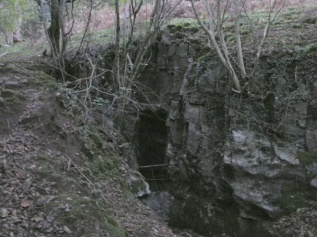
Ogof Ffynnon Ddu
Ogof Ffynnon Ddu — cave in the Upper Swansea Valley in South Wales.
 📷 3
📷 3Mountains & hills · South Wales
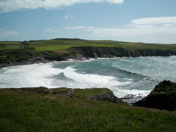
Abereiddi Bay
Abereiddi Bay — bay in the United Kingdom.
 📷 3
📷 3Mountains & hills · South Wales
Allt Lwyd
Allt Lwyd — Named summit at 653 m.
Frequently asked questions
- Where is Mynydd Pen-Rhys?
- Mynydd Pen-Rhys is in South Wales, United Kingdom (postcode SA12 9TN), in the parish of Pelenna.
- Is Mynydd Pen-Rhys free to visit?
- Yes, Mynydd Pen-Rhys is free to enter.
- How do I get to Mynydd Pen-Rhys?
- The nearest railway station is Neath, about 5.4 km away. Drivers can navigate to postcode SA12 9TN.