Mountains & hills · South Wales
Mynydd Meio
Mynydd Meio — Named summit at 322 m.

Wikimedia Commons contributors — see linked file page for photographer and licence licence
Plan your visit
- Typical visit
- 3 h–8 h
- Best time of year
- Late spring – early autumn (May–Oct)
- Nearest railway station
- Treforest Estate · 2.2 km
- Free entry
- Dog-friendly
About
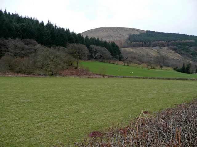
Mynydd Meio is a named summit in the United Kingdom. Wikidata describes it as: "Named summit at 322 m.". Coordinates: 51.5865°, -3.2798°.
Photo gallery
From the Wikipedia article
Mynydd Meio is a 322-metre-high hill in the county borough of Caerphilly in South Wales. Parts of its western slopes fall within Rhondda Cynon Taf county borough. Its eastern slopes drop away to Cwm yr Aber between Caerphilly and Abertridwr and its western slopes to the valley of the Taf. The high point is just over 200 m north of the trig point which sits at 322 metres (1,056 ft) above sea-level. The hill is crossed by the Senghenydd Dyke, an ancient earthwork considered to date from the 13th century and associated with nearby Caerphilly Castle.
Excerpt from Wikipedia under CC BY-SA 4.0. See the source article linked in Sources below.
Background
Visiting
Much of the upper part of the hill is mapped as open access under the Countryside and Rights of Way Act 2000 and thereby generally available to walkers. It is also crossed by the Rhymney Valley Ridgeway Walk, a recreational path which in the immediate vicinity runs north from the hamlet of Groes-wen over the hill towards Cefn Eglwysilan.
Sourced from Wikipedia under CC BY-SA 4.0.
- Coordinates
- 51.5865, -3.2798
- District
- Rhondda Cynon Taf
- Parish
- Pontypridd Town
- Postcode
- CF37 5BJ
- Parliamentary constituency
- Pontypridd
- Nearest railway station
- Treforest Estate — 2.2 km
Sources
- osm: n2891534188 (ODbL)
- wikipedia: Mynydd Meio (CC BY-SA 4.0)
- commons: Drystone wall, boundary of Mynydd Meio Common - geograph.org.uk - 2070546.jpg (CC BY-SA 4.0)
Other places nearby
Loading nearby places…
Nearby
 📷 5
📷 5Historic churches · South Wales
Church of St Ilan
Church of St Ilan — Grade II listed building-listed church in wales-south, United Kingdom.
 📷 3
📷 3Theatres · South Wales
Abertridwr Welfare Hall and Institute
Abertridwr Welfare Hall and Institute in Wales South, United Kingdom.
Caravan parks · South Wales
Dynea Caravan Site
Dynea Caravan Site — a caravan park in wales south.
 📷 3
📷 3Gardens · South Wales
Upper Boat Studios
Upper Boat Studios — a garden in wales-south, United Kingdom.
 📷 5
📷 5Memorials & monuments · South Wales
Monument to Evan Jones ('Ieuan Gwynedd')
Monument to Evan Jones ('Ieuan Gwynedd') — Grade II listed building-listed memorial in wales-south, United Kingdom.
📷 5Memorials & monuments · South Wales
Monument to William Williams ('Caledfryn')
Monument to William Williams ('Caledfryn') — Grade II listed building-listed memorial in wales-south, United Kingdom.
More mountains in this region
 Flagship📷 3
Mountains & hills · South Wales
Milford Haven Waterway
Milford Haven Waterway — ria, or flooded valley, in Pembrokeshire, south-west Wales, UK.
 📷 5
📷 5Mountains & hills · South Wales
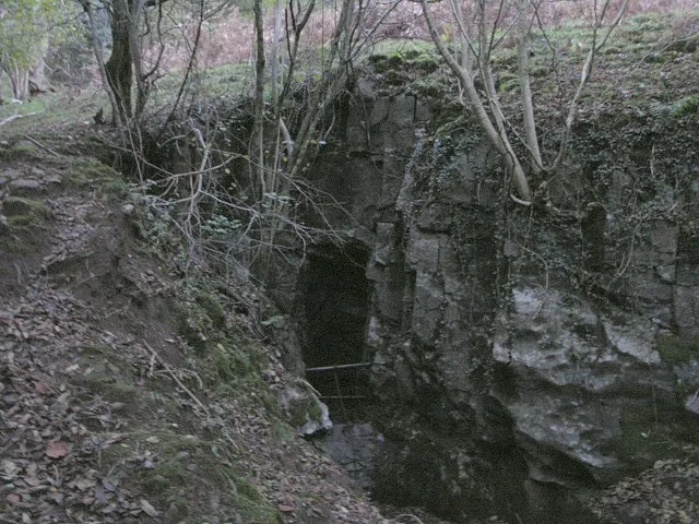
Ogof Ffynnon Ddu
Ogof Ffynnon Ddu — cave in the Upper Swansea Valley in South Wales.
 📷 3
📷 3Mountains & hills · South Wales
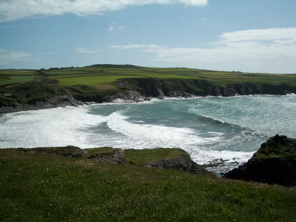
Abereiddi Bay
Abereiddi Bay — bay in the United Kingdom.
 📷 3
📷 3Mountains & hills · South Wales
Allt Lwyd
Allt Lwyd — Named summit at 653 m.
Frequently asked questions
- Where is Mynydd Meio?
- Mynydd Meio is in South Wales, United Kingdom (postcode CF37 5BJ), in the parish of Pontypridd Town.
- Is Mynydd Meio free to visit?
- Yes, Mynydd Meio is free to enter.
- How do I get to Mynydd Meio?
- The nearest railway station is Treforest Estate, about 2.2 km away. Drivers can navigate to postcode CF37 5BJ.