
Historic houses · North East England
Mowden Hall School
In or near Stocksfield.
Mowden Hall School in England North East, United Kingdom.

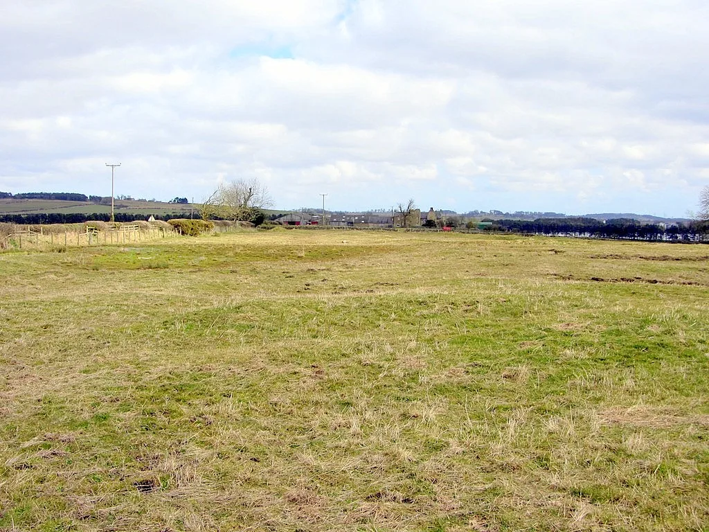
John Clive Nicholson — CC BY-SA 2.0 via Wikimedia Commons licence

Plan your visit
- Typical visit
- 1 h–2 h
- Nearest railway station
- Stocksfield · 4.0 km
- Family-friendly
- Limited wheelchair access
About
Mowden Hall School is a place of interest in England North East, United Kingdom — drawn from open-data sources for visitor reference. See the linked Wikipedia article for the full description.
Photo gallery
Official information
Mowden Hall School is a co-educational day and boarding preparatory school for children aged two to thirteen, located less than 15 miles west of Newcastle. The school emphasizes character education and provides a nurturing environment for children to explore their identities and develop academically and socially.
From the Wikipedia article
Mowden Hall School is a co-educational and boarding preparatory school in the parish of Bywell, in Stocksfield, Northumberland, England, approximately 11 miles (18 km) west of Newcastle upon Tyne. It has been a member of the Prep Schools Trust since 2007 and is a member of the Independent Association of Preparatory Schools (IAPS) and Association of Governing Bodies of Independent Schools (AGBIS).
Excerpt from Wikipedia under CC BY-SA 4.0. See the source article linked in Sources below.
Background
History
Mowden Hall School was founded in the eponymous Mowden Hall in Mowden, near Darlington, by Frank Marchbank in 1935. The School was evacuated to Fallbarrow, Windermere, at the start of World War II, before acquiring its present site at Newton Hall, near Newcastle upon Tyne, in 1945; the former building was home to the Department for Education and its predecessor agencies for almost fifty years. Mowden Hall School became co-ed in 1982, and opened a Pre-Prep Department in 1993, which now includes Pre-Nursery, Nursery, Reception and Years 1 and 2. Work was done in the School's early years at Newton to convert the former home of the Joicey family—built in 1835 by architect John Dobson—into a…
Sourced from Wikipedia under CC BY-SA 4.0.
- Coordinates
- 54.9809, -1.9351
- District
- Northumberland
- Parish
- Bywell
- Postcode
- NE43 7TP
- Parliamentary constituency
- Hexham
- Established
- 1935
- Nearest railway station
- Stocksfield — 4 km
- Official site
- www.mowdenhallpst.org
Sources
- wikidata: Q15260107 (CC0)
- wikipedia: Mowden Hall School (CC BY-SA 4.0)
Other places nearby

Whittington Hill
Mountains & hills · 0.4 km

Duke Of Wellington Inn
B&Bs · 1.0 km

Wellhouse Farm Camping site
Campsites · 1.5 km
Wellhouse Farm Caravan Park
Caravan parks · 1.5 km

Shildon Hill
Vineyards · 2.0 km

Ovington, Northumberland
Castles · 2.9 km

Nafferton Castle
Castles · 3.1 km

Remains of Lonkin's Hall
Historic houses · 3.1 km
Nafferton castle and tower house, 750m east of Nafferton Farm
Literary houses · 3.1 km
Welton medieval settlement, open field system and fishponds
Archaeological sites · 3.1 km

Milecastle 18
Archaeological sites · 3.3 km

Hadrian's Wall and vallum between the B6309 and the B6321 in wall miles 16, 17 and 18
Archaeological sites · 3.3 km
Nearby
📷 5Mountains & hills · North East England
Whittington Hill
Whittington Hill — a hill or mountain in scotland lowlands.
📷 5B&Bs · North East England
Duke Of Wellington Inn
Duke Of Wellington Inn — a bed-and-breakfast in scotland lowlands.
📷 5Campsites · North East England
Wellhouse Farm Camping site
Wellhouse Farm Camping site — a campsite in scotland lowlands.
📷 5Caravan parks · North East England
Wellhouse Farm Caravan Park
Wellhouse Farm Caravan Park — a caravan park in scotland lowlands.
📷 5Vineyards · North East England
Shildon Hill
Shildon Hill — a UK vineyard in scotland lowlands, producing English or Welsh wine from cool-climate grape varieties.
📷 5Castles · North East England
Ovington, Northumberland
Ovington, Northumberland — a castle in scotland-lowlands, United Kingdom.
Where to eat & stay near Mowden Hall School
Places to stay
📷 5B&Bs · North East England
Duke Of Wellington Inn
Duke Of Wellington Inn — a bed-and-breakfast in scotland lowlands.
📷 5Campsites · North East England
Wellhouse Farm Camping site
Wellhouse Farm Camping site — a campsite in scotland lowlands.
📷 5Caravan parks · North East England
Wellhouse Farm Caravan Park
Wellhouse Farm Caravan Park — a caravan park in scotland lowlands.
 📷 5
📷 5Caravan parks · North East England
High Hermitage Caravan Park
High Hermitage Caravan Park — a caravan park in scotland lowlands.
📷 5Campsites · North East England
High Hermitage Caravan Park
High Hermitage Caravan Park — a campsite in scotland lowlands.
 📷 5
📷 5Campsites · North East England
Dilston Scout Camp
Dilston Scout Camp — a campsite in scotland lowlands.
Places to eat & drink
 📷 5
📷 5Historic pubs · North East England
Wellington Inn
Wellington Inn in Scotland Lowlands, United Kingdom.
 📷 5
📷 5Historic pubs · North East England
The Crown And Anchor
The Crown And Anchor in Scotland Lowlands, United Kingdom.
 📷 7
📷 7Historic pubs · North East England
The Vicars Pele
The Vicars Pele in Scotland Lowlands, United Kingdom.
 📷 4
📷 4 📷 5
📷 5 📷 5
📷 5Historic pubs · North East England
Travellers' Rest Inn
Travellers' Rest Inn in Scotland Lowlands, United Kingdom.
More historic houses in this region
 📷 3
📷 3Historic houses · North East England
Wayside cross known as Jenny Bradley 1000m north west of Bloworth Crossing on Greenhow Moor
Wayside cross known as Jenny Bradley 1000m north west of Bloworth Crossing on Greenhow Moor — a Grade II*-listed historic house in england-yorkshire, United Kingdom.
 📷 3
📷 3Historic houses · North East England
Crackpot Hall
Crackpot Hall — a historic house in england-north-west, United Kingdom.
 📷 3
📷 3Historic houses · North East England
Bunton Mine shop
Bunton Mine shop — a historic house in england-north-west, United Kingdom.
 📷 3
📷 3Historic houses · North East England
Blakethwaite Mine
Blakethwaite Mine — a historic house in england-north-west, United Kingdom.
Frequently asked questions
- Where is Mowden Hall School?
- Mowden Hall School is in North-East England, United Kingdom (postcode NE43 7TP), in the parish of Bywell.
- What is Mowden Hall School?
- Mowden Hall School in England North East, United Kingdom.
- How do I get to Mowden Hall School?
- The nearest railway station is Stocksfield, about 4.0 km away. Drivers can use postcode NE43 7TP.
- When was Mowden Hall School built?
- Built or established in 1935.
- How do I get to Mowden Hall School?
- The nearest railway station is Stocksfield, about 4.0 km away. Drivers can navigate to postcode NE43 7TP.