
Archaeological sites · West Midlands
Motte castle, moated site, and medieval agricultural remains at Crookbarrow Farm
In or near Worcester.
Motte castle, moated site, and medieval agricultural remains at Crookbarrow Farm — archaeological site in Whittington, Worcestershire, England, UK.

Wikimedia Commons contributors — see linked file page for photographer and licence licence

Plan your visit
- Typical visit
- 45 min–1.5 h
- Nearest railway station
- Worcestershire Parkway · 2.2 km
- Free entry
- Dog-friendly
About
Motte castle, moated site, and medieval agricultural remains at Crookbarrow Farm is an archaeological site in the United Kingdom. Heritage designation: scheduled monument. Wikidata describes it as: "archaeological site in Whittington, Worcestershire, England, UK". Coordinates: 52.1689°, -2.1845°.
Photo gallery
Place summary
Motte castle, moated site, and medieval agricultural remains at Crookbarrow Farm is an archaeological site located in the West Midlands. It is designated as a scheduled monument, highlighting its historical significance and preservation value.
AI-generated from the structured facts on this page (operator, designation, listing, era). Not a substitute for visiting.
- Coordinates
- 52.1689, -2.1845
- County
- Worcestershire
- District
- Wychavon
- Parish
- Whittington
- Postcode
- WR5 2RW
- Parliamentary constituency
- Droitwich and Evesham
- Nearest railway station
- Worcestershire Parkway — 2.2 km
Sources
- wikidata: Q17673224 (CC0)
- commons: Crookbarrow Farm and Hill 02.jpg (CC BY-SA 4.0)
Other places nearby

Whittington Tump
Forts · 0.0 km

Crookbarrow Hill
Castles · 0.0 km

The Norton Sentry
Public art & sculpture · 1.1 km

County Hall, Worcester
Gardens · 1.8 km

Timberdine
Restaurants · 2.1 km

Roma
Public art & sculpture · 2.2 km

The Ketch Caravan Park and Mooring
Caravan parks · 2.4 km

War Memorial in the Churchyard of the Church of St Martin, Worcester
Memorials & monuments · 2.4 km

Worcester and District Model Engineers
Heritage railways · 2.5 km
Worcester and District Model Engineers
Heritage railways · 2.5 km
Worcester and District Model Engineers
Heritage railways · 2.5 km
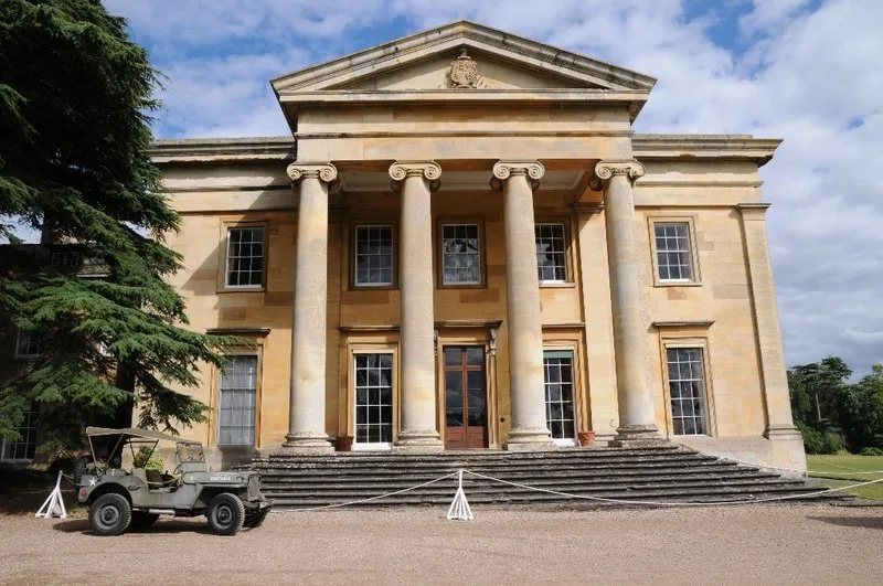
Spetchley Hall
Stately homes · 2.6 km
Nearby
📷 3📷 5📷 3Public art & sculpture · West Midlands
The Norton Sentry
The Norton Sentry — a public art in england-west-midlands, United Kingdom.
📷 4Gardens · West Midlands
County Hall, Worcester
County Hall, Worcester — a garden in england-west-midlands, United Kingdom.
📷 5Restaurants · West Midlands
Timberdine
Timberdine — a restaurant in england west midlands. Cuisine: american. Brand: Harvester.
📷 3Public art & sculpture · West Midlands
Roma
Roma — Public artwork (sculpture) by Keith Wilson.
Where to eat & stay near Motte castle, moated site, and medieval agricultural remains at Crookbarrow Farm
Places to stay
📷 5Caravan parks · West Midlands
The Ketch Caravan Park and Mooring
The Ketch Caravan Park and Mooring — a caravan park in england west midlands.
 📷 7
📷 7Hotels · West Midlands
Fownes Hotel
Fownes Hotel — a hotel in england west midlands.
 📷 5
📷 5Hotels · West Midlands
Diglis House Hotel
Diglis House Hotel — a hotel in england west midlands.
 📷 7
📷 7Hotels · West Midlands
Severn View Hotel
Severn View Hotel — a hotel in england west midlands.
 📷 5
📷 5Caravan parks · West Midlands
Seaborne Leisure Caravan Park
Seaborne Leisure Caravan Park — a caravan park in england west midlands.
 📷 5
📷 5Hotels · West Midlands
Stanbrook Abbey
Stanbrook Abbey — a hotel in england west midlands.
Places to eat & drink
📷 5Restaurants · West Midlands
Timberdine
Timberdine — a restaurant in england west midlands. Cuisine: american. Brand: Harvester.
 📷 3
📷 3Historic pubs · West Midlands
King Charles House
King Charles House — Historic pub — listed building or notable heritage status.
 📷 5
📷 5Historic pubs · West Midlands
Slug and Lettuce
Slug and Lettuce — Historic pub — listed building or notable heritage status.
 📷 5
📷 5 📷 7
📷 7Historic pubs · West Midlands
The Talbot Public House
The Talbot Public House in England West Midlands, United Kingdom.
 📷 5
📷 5More archaeological sites in this region
 📷 3
📷 3Archaeological sites · West Midlands
Oakedge Hall
Oakedge Hall — a archaeological in england-east-midlands, United Kingdom.
.jpg?width=1200) 📷 3
📷 3Archaeological sites · West Midlands
Hales Roman Villa
Hales Roman Villa — archaeological site in Loggerheads, Newcastle-under-Lyme, England, UK.
 📷 3
📷 3Archaeological sites · West Midlands
Heart of England Forest
Heart of England Forest — UK non-governmental organization.
 📷 3
📷 3Archaeological sites · West Midlands
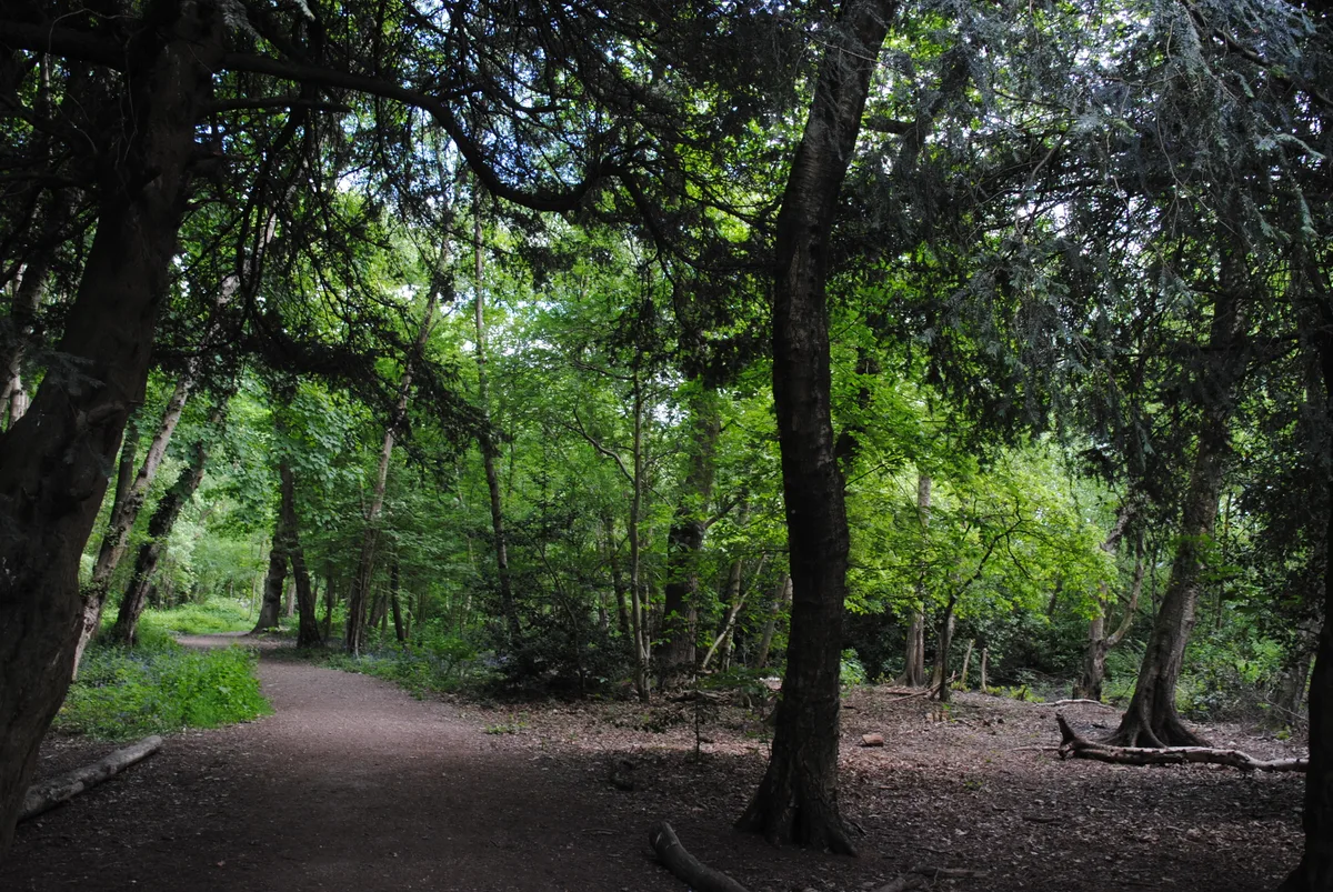
Holly Wood
Holly Wood — woodland nature reserve in Sandwell, England.
Frequently asked questions
- Where is Motte castle, moated site, and medieval agricultural remains at Crookbarrow Farm?
- Motte castle, moated site, and medieval agricultural remains at Crookbarrow Farm is in Worcestershire, the West Midlands, United Kingdom (postcode WR5 2RW), in the parish of Whittington.
- What is Motte castle, moated site, and medieval agricultural remains at Crookbarrow Farm?
- Motte castle, moated site, and medieval agricultural remains at Crookbarrow Farm — archaeological site in Whittington, Worcestershire, England, UK.
- How do I get to Motte castle, moated site, and medieval agricultural remains at Crookbarrow Farm?
- The nearest railway station is Worcestershire Parkway, about 2.2 km away. The nearest town is Worcester. Drivers can use postcode WR5 2RW.
- Is Motte castle, moated site, and medieval agricultural remains at Crookbarrow Farm a listed building?
- Motte castle, moated site, and medieval agricultural remains at Crookbarrow Farm is officially recognised as scheduled monument listed.
- Is Motte castle, moated site, and medieval agricultural remains at Crookbarrow Farm free to visit?
- Yes, Motte castle, moated site, and medieval agricultural remains at Crookbarrow Farm is free to enter.
- How do I get to Motte castle, moated site, and medieval agricultural remains at Crookbarrow Farm?
- The nearest railway station is Worcestershire Parkway, about 2.2 km away. Drivers can navigate to postcode WR5 2RW.