
Gardens · West Midlands
County Hall, Worcester
In or near Worcester.
County Hall, Worcester — a garden in england-west-midlands, United Kingdom.

Trevor Rickard — CC BY-SA 2.0 via Wikimedia Commons licence

Plan your visit
- Typical visit
- 1 h–2.5 h
- Best time of year
- Spring & summer (Apr–Sep)
- Nearest railway station
- Worcester Shrub Hill · 2.0 km
- Dog-friendly
About
County Hall, Worcester is a garden of interest in england-west-midlands, United Kingdom — drawn from open-data sources for visitor reference. See the linked Wikipedia article for the full description.
Photo gallery
From the Wikipedia article
County Hall is a municipal facility at Spetchley Road in Worcester, Worcestershire. It is the headquarters of Worcestershire County Council.
Excerpt from Wikipedia under CC BY-SA 4.0. See the source article linked in Sources below.
Background
History
For much of the 20th century the Shire Hall in Foregate Street was the meeting place of Worcestershire County Council. Following the amalgamation of Worcestershire County Council and Herefordshire County Council to form Hereford and Worcester County Council in 1974, the new county leaders decided to procure a purpose-built county hall: the site they selected had been open land just south of Nunnery Wood. Construction of the new building began in 1974. It was designed by Robert Matthew Johnson-Marshall & Partners in the Brutalist style, built by the local contractor, Espley-Tyas, and was officially opened by the Duke of Edinburgh on 4 May 1978. The design for the building, which made…
Sourced from Wikipedia under CC BY-SA 4.0.
- Coordinates
- 52.1855, -2.1838
- County
- Worcestershire
- District
- Worcester
- Parish
- Worcester, unparished area
- Postcode
- WR5 2NP
- Parliamentary constituency
- Worcester
- Established
- 1978
- Nearest railway station
- Worcester Shrub Hill — 2 km
Sources
- wikidata: Q66716016 (CC0)
- wikipedia: County Hall, Worcester (CC BY-SA 4.0)
Other places nearby

Roma
Public art & sculpture · 0.5 km

The George Marshall Medical Museum
Museums · 0.7 km

War Memorial, Lichfield Avenue, Ronkswood
Memorials & monuments · 0.9 km

War Memorial in the Churchyard of the Church of St Martin, Worcester
Memorials & monuments · 1.6 km

Elbury Hill
Mountains & hills · 1.8 km

Motte castle, moated site, and medieval agricultural remains at Crookbarrow Farm
Archaeological sites · 1.8 km

Whittington Tump
Forts · 1.9 km

Crookbarrow Hill
Castles · 1.9 km

Worcestershire
Museums · 2.0 km

Worcester Shrub Hill railway station
Heritage railway stations · 2.0 km
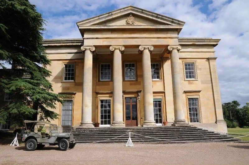
Spetchley Hall
Stately homes · 2.0 km
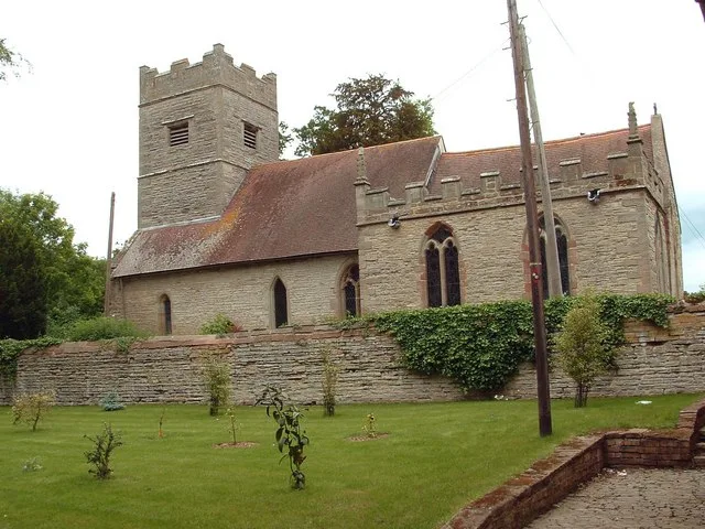
All Saints Church, Spetchley
Historic churches · 2.0 km
Nearby
📷 3Public art & sculpture · West Midlands
Roma
Roma — Public artwork (sculpture) by Keith Wilson.
📷 3Museums · West Midlands
The George Marshall Medical Museum
The George Marshall Medical Museum — a museum in england-west-midlands, United Kingdom.
📷 3Memorials & monuments · West Midlands
War Memorial, Lichfield Avenue, Ronkswood
War Memorial, Lichfield Avenue, Ronkswood — Grade II listed building-listed memorial in england-west-midlands, United Kingdom.
📷 3Memorials & monuments · West Midlands
War Memorial in the Churchyard of the Church of St Martin, Worcester
War Memorial in the Churchyard of the Church of St Martin, Worcester — Grade II listed building-listed memorial in england-west-midlands, United Kingdom.
📷 5Mountains & hills · West Midlands
Elbury Hill
Elbury Hill — a hill or mountain in england west midlands.
📷 3Archaeological sites · West Midlands
Motte castle, moated site, and medieval agricultural remains at Crookbarrow Farm
Motte castle, moated site, and medieval agricultural remains at Crookbarrow Farm — archaeological site in Whittington, Worcestershire, England, UK.
Where to eat & stay near County Hall, Worcester
Places to stay
 📷 7
📷 7Hotels · West Midlands
Fownes Hotel
Fownes Hotel — a hotel in england west midlands.
 📷 5
📷 5Hotels · West Midlands
Diglis House Hotel
Diglis House Hotel — a hotel in england west midlands.
 📷 7
📷 7Hotels · West Midlands
Severn View Hotel
Severn View Hotel — a hotel in england west midlands.
 📷 5
📷 5Caravan parks · West Midlands
The Ketch Caravan Park and Mooring
The Ketch Caravan Park and Mooring — a caravan park in england west midlands.
 📷 5
📷 5Caravan parks · West Midlands
Seaborne Leisure Caravan Park
Seaborne Leisure Caravan Park — a caravan park in england west midlands.
 📷 5
📷 5Hotels · West Midlands
Stanbrook Abbey
Stanbrook Abbey — a hotel in england west midlands.
Places to eat & drink
 📷 3
📷 3Historic pubs · West Midlands
King Charles House
King Charles House — Historic pub — listed building or notable heritage status.
 📷 5
📷 5Historic pubs · West Midlands
Slug and Lettuce
Slug and Lettuce — Historic pub — listed building or notable heritage status.
 📷 5
📷 5 📷 5
📷 5Restaurants · West Midlands
Timberdine
Timberdine — a restaurant in england west midlands. Cuisine: american. Brand: Harvester.
 📷 5
📷 5 📷 7
📷 7Historic pubs · West Midlands
The Talbot Public House
The Talbot Public House in England West Midlands, United Kingdom.
More gardens in this region
 📷 5
📷 5Gardens · West Midlands
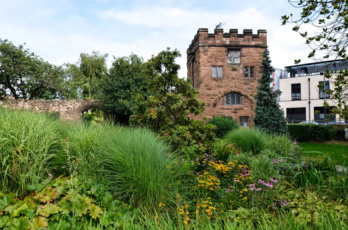
Lady Herbert's Garden
Lady Herbert's Garden — garden in Coventry, West Midlands, England, UK.
 📷 3
📷 3Gardens · West Midlands
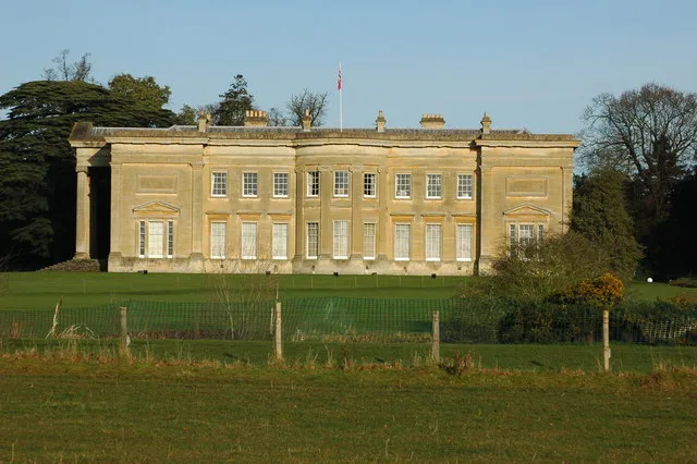
Spetchley Park
Spetchley Park — house and park in Worcestershire, England, UK.
.jpg?width=1200) 📷 5
📷 5Gardens · West Midlands
Abstract children’s play sculpture
Abstract children’s play sculpture — Public artwork (sculpture) by John Bridgman.
.jpg?width=1200) 📷 5
📷 5Gardens · West Midlands
Arley House and Gardens
Arley House and Gardens — gardens in Worcestershire, England, UK.
Frequently asked questions
- Where is County Hall, Worcester?
- County Hall, Worcester is in Worcestershire, the West Midlands, United Kingdom (postcode WR5 2NP), in the parish of Worcester, unparished area.
- What is County Hall, Worcester?
- County Hall, Worcester — a garden in england-west-midlands, United Kingdom.
- How do I get to County Hall, Worcester?
- The nearest railway station is Worcester Shrub Hill, about 2.0 km away. Drivers can use postcode WR5 2NP.
- When was County Hall, Worcester built?
- Built or established in 1978.
- How do I get to County Hall, Worcester?
- The nearest railway station is Worcester Shrub Hill, about 2.0 km away. Drivers can navigate to postcode WR5 2NP.