Mountains & hills · North West England
Morecambe Bay
Also known as: Bae Morecambe, Bá Morecambe
Morecambe Bay — estuary in northwest England.

Wikimedia Commons contributors — see linked file page for photographer and licence licence
Plan your visit
- Typical visit
- 3 h–8 h
- Best time of year
- Late spring – early autumn (May–Oct)
- Nearest railway station
- Morecambe · 7.9 km
- Free entry
- Dog-friendly
About
Morecambe Bay is a named summit in the United Kingdom. Wikidata describes it as: "estuary in northwest England". Coordinates: 54.1050°, -2.9750°.
Photo gallery
Protected designations
- Site of Special Scientific Interest: Morecambe Bay SSSI
- Ramsar wetland: Morecambe Bay
Designations sourced from Natural England open data under OGL v3.
From the Wikipedia article
Morecambe Bay forms part of the Irish Sea, bordered by the English counties of Cumbria to the north and Lancashire to the east and south. It is the largest expanse of intertidal mudflats and sand in the United Kingdom, covering a total area of 120 sq mi (310 km2). In 1974, the second largest gas field in the UK was discovered 25 mi (40 km) west of Blackpool, with original reserves of over 7 trillion cubic feet (tcf) (200 billion cubic metres). At its peak, 15% of Britain's gas supply came from the bay but production is now in decline. Morecambe Bay is also an important wildlife site, with abundant birdlife and varied marine habitats.
Excerpt from Wikipedia under CC BY-SA 4.0. See the source article linked in Sources below.
Background
History
The extensive sandflats are the remains of a vast sandur or outwash plain established by meltwaters as the last ice age waned. Sea-level was still some 3m below present day levels at the start of the Holocene some 11,000 years ago. The Greek geographer and astronomer Claudius Ptolemy (died c170 AD) referred in his writings to Morikambe eischusis as a location on Britain's west coast, lying between the Ribble and the Solway. The sixteenth-century scholar William Camden identified the locality as being near Silloth, hence the similar name of that bay but the eighteenth century antiquarian John Horsley who translated Ptolemy into English in 1732 favoured it being the bay on the then…
Sourced from Wikipedia under CC BY-SA 4.0.
- Coordinates
- 54.1050, -2.9750
- Nearest railway station
- Morecambe — 7.9 km
Sources
- wikidata: Q1866414 (CC0)
- wikipedia: Morecambe Bay (CC BY-SA 4.0)
- commons: Across-morecambe-bay-at-low-tide.jpg (CC BY-SA 4.0)
Other places nearby
Loading nearby places…
Nearby
 📷 5
📷 5Caravan parks · North West England
Lakeland Leisure Park
Lakeland Leisure Park — a caravan park in england north west.
 📷 5
📷 5Mountains & hills · North West England
Humphrey Head
Humphrey Head — a hill or mountain in england north west.
 📷 5
📷 5Caravan parks · North West England
Willow Tree Holiday Park
Willow Tree Holiday Park — a caravan park in england north west.
 📷 3
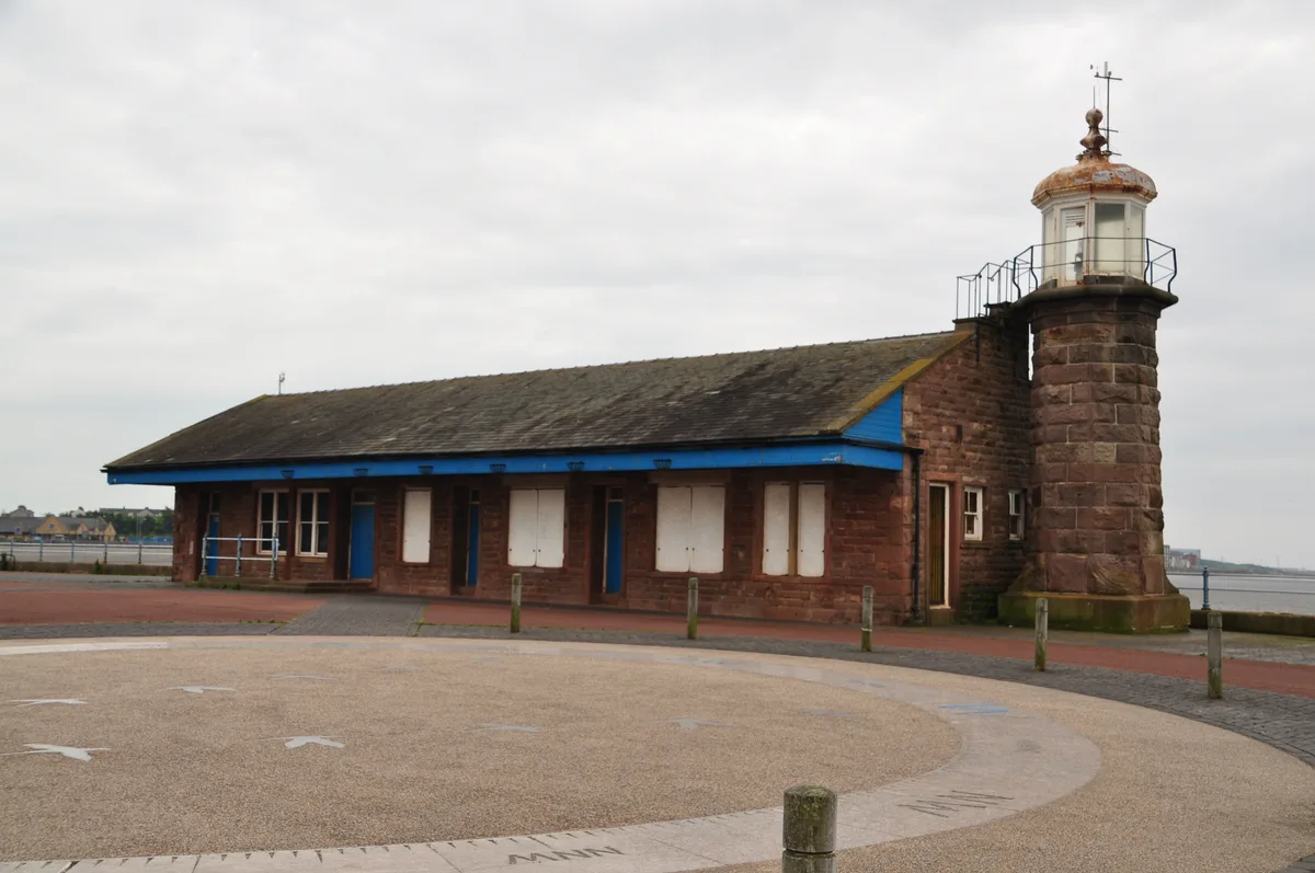
📷 3Lighthouses · North West England
Morecambe Pier Light
Morecambe Pier Light — lighthouse in Lancashire, England.
.jpg?width=1200) 📷 3
📷 3Piers · North West England
Stone Jetty
Stone Jetty is a pier in the United Kingdom.
 📷 3
📷 3Public art & sculpture · North West England
Magpie Hopscotch
Magpie Hopscotch — a public art in england-north-west, United Kingdom.
More mountains in this region
 📷 3
📷 3Mountains & hills · North West England
Allen Crags
Allen Crags — Named summit at 785 m.
 📷 3
📷 3Mountains & hills · North West England
Alum Pot
Alum Pot — Open shaft pothole in North Yorkshire.
 📷 3
📷 3Mountains & hills · North West England
Arnside Knott
Arnside Knott — Named summit at 159 m.
 📷 3
📷 3Mountains & hills · North West England
Aye Gill Pike
Aye Gill Pike — Named summit at 556.3 m.
Frequently asked questions
- Where is Morecambe Bay?
- Morecambe Bay is in North-West England, United Kingdom.
- What is Morecambe Bay?
- Morecambe Bay — estuary in northwest England.
- How do I get to Morecambe Bay?
- The nearest railway station is Morecambe, about 7.9 km away. Its coordinates are 54.1050°, -2.9750°.
- Is Morecambe Bay a protected site?
- Yes — Morecambe Bay is part of the Morecambe Bay SSSI Site of Special Scientific Interest and the Morecambe Bay Ramsar wetland.
- Is Morecambe Bay free to visit?
- Yes, Morecambe Bay is free to enter.
- How do I get to Morecambe Bay?
- The nearest railway station is Morecambe, about 7.9 km away.