
Natural landmarks · Scottish Islands
Moor Shieling at Tom Urraghag, Brù
Moor Shieling at Tom Urraghag, Brù — a other in scotland-highlands, United Kingdom.

Claire Pegrum — CC BY-SA 2.0 via Wikimedia Commons licence

Plan your visit
- Typical visit
- 1 h–2 h
- Free entry
- Family-friendly
- Dog-friendly
About
Moor Shieling at Tom Urraghag, Brù is a other located in scotland-highlands, United Kingdom. Sourced from OpenStreetMap (ODbL licence); see local listings for visitor information, opening hours and admission details.
Photo gallery
Official information
Moor Shieling at Tom Urraghag is part of the Barvas and Brue Historical Society, which focuses on the history and heritage of the area. Visitors can explore various aspects of local history, including crofting, archaeology, and the story of peat, as well as view a gallery of historical photographs.
Place summary
Moor Shieling at Tom Urraghag is located in the Scottish Highlands. This structure represents traditional Scottish pastoral architecture, specifically used for seasonal grazing. Its historical significance lies in its role within the region's agricultural practices.
AI-generated from the structured facts on this page (operator, designation, listing, era). Not a substitute for visiting.
- Coordinates
- 58.3426, -6.5636
- District
- Na h-Eileanan Siar
- Postcode
- HS2 0QW
- Parliamentary constituency
- Na h-Eileanan an Iar
- Opening
- 24/7
- Official site
- www.barvasandbrue.co.uk
Sources
- osm: way/610258673 (ODbL)
Other places nearby

Brue
Historic bridges · 1.6 km

Arnol
Museums · 1.9 km

Arnol Blackhouse
Museums · 2.2 km

Free Church, Barvas, Lewis
Historic churches · 2.3 km

West Side
Islands · 2.7 km

Loch More Barvas
Lakes · 2.7 km

1654 Lewis Clan Battle Cairn
Memorials & monuments · 2.7 km

Parish Church, Barvas, Lewis
Historic churches · 3.1 km

Barvas & Brue War Memorial
Memorials & monuments · 3.1 km

Port Arnol
Natural landmarks · 3.2 km

Bragar
Islands · 3.6 km

Barvas
Islands · 3.8 km
Nearby
📷 5📷 5📷 3Museums · Scottish Islands
Arnol Blackhouse
Arnol Blackhouse — a museum in scotland-highlands, United Kingdom.
📷 5Historic churches · Scottish Islands
Free Church, Barvas, Lewis
Free Church, Barvas, Lewis — category C listed building-listed church in scotland-highlands, United Kingdom.
📷 3📷 5Where to eat & stay near Moor Shieling at Tom Urraghag, Brù
Places to stay
 📷 5
📷 5Campsites · Scottish Islands
Eilean Fraoich Camp Site
Eilean Fraoich Camp Site — a campsite in scotland highlands.
 📷 5
📷 5Campsites · Scottish Islands
Bothag Bhuirgh Camping and Pods
Bothag Bhuirgh Camping and Pods — a campsite in scotland highlands.
📷 5Hotels · Scottish Islands
Borve Country House Hotel
Borve Country House Hotel — a hotel in scotland highlands.
 📷 5
📷 5Campsites · Scottish Islands
Laxdale Holiday Park (overflow) Camping Field
Laxdale Holiday Park (overflow) Camping Field — a campsite in scotland highlands.
📷 5Caravan parks · Scottish Islands
Laxdale Holiday Park
Laxdale Holiday Park — a caravan park in scotland highlands.
Places to eat & drink
 📷 6
📷 6Historic pubs · Scottish Islands
Neptune's Bar, 11 Cromwell Street, Stornoway, Lewis
Neptune's Bar, 11 Cromwell Street, Stornoway, Lewis in Scotland Highlands, United Kingdom.
More natural landmarks in this region
 📷 3
📷 3Natural landmarks · Scottish Islands
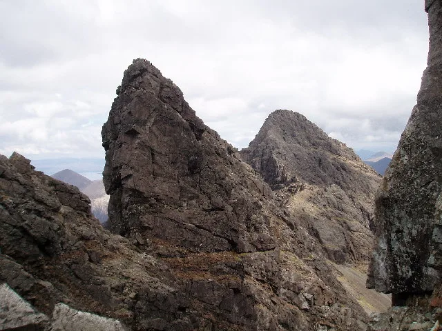
Am Basteir
Am Basteir — 934m high mountain in Highland, Scotland, UK.
 📷 3
📷 3Natural landmarks · Scottish Islands
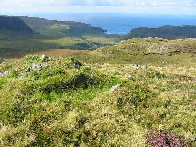
Arnaval
Arnaval — mountain on the Isle of Skye, in Highland, Scotland, UK.
 📷 5
📷 5Natural landmarks · Scottish Islands
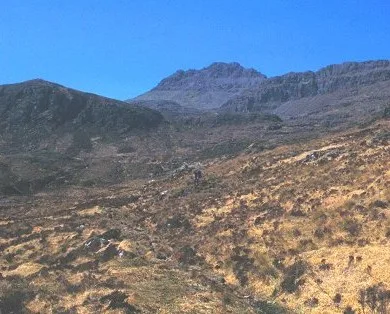
Askival
Askival — 812m high mountain in Highland, Scotland, UK.
 📷 5
📷 5Natural landmarks · Scottish Islands
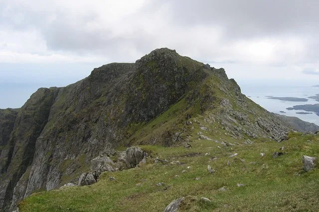
Beinn Mhòr
Beinn Mhòr — 620m high mountain on South Uist, Outer Hebrides, Scotland, UK.
Frequently asked questions
- Where is Moor Shieling at Tom Urraghag, Brù?
- Moor Shieling at Tom Urraghag, Brù is in the Scottish Islands, United Kingdom (postcode HS2 0QW).
- What is Moor Shieling at Tom Urraghag, Brù?
- Moor Shieling at Tom Urraghag, Brù — a other in scotland-highlands, United Kingdom.
- How do I get to Moor Shieling at Tom Urraghag, Brù?
- Drivers can use postcode HS2 0QW.
- Is Moor Shieling at Tom Urraghag, Brù free to visit?
- Yes, Moor Shieling at Tom Urraghag, Brù is free to enter.
- How do I get to Moor Shieling at Tom Urraghag, Brù?
- Drivers can navigate to postcode HS2 0QW. It sits within the Na h-Eileanan an Iar parliamentary constituency.