
Natural landmarks · Scottish Islands
Am Basteir
Also known as: Am Baisteir
In or near Carbost.
Am Basteir — 934m high mountain in Highland, Scotland, UK.

Wikimedia Commons contributors — see linked file page for photographer and licence licence

Plan your visit
- Typical visit
- 1 h–2 h
- Free entry
- Dog-friendly
About
Am Basteir is a named natural landmark in the United Kingdom. Wikidata describes it as: "934m high mountain in Highland, Scotland, UK". Coordinates: 57.2479°, -6.2030°.
Photo gallery
From the Wikipedia article
Am Basteir (Scottish Gaelic: Am Bàisteir, 'the baptizer') is a mountain peak in the northern Cuillin range on the Isle of Skye in Scotland. It is 934 metres (3,064 feet) high and classed as a Munro. It forms a narrow blade of rock, which bears comparison with the Inaccessible Pinnacle in the same range. The easiest route to the summit starts from Sligachan following a path along the left bank of the Allt Dearg Beag (small red burn) for 5 kilometres (3 miles) to a small lochan in the Coire a' Bhasteir, then up a gruelling scree slope to the bealach on the main ridge between Sgurr nan Gillean and Am Basteir. A scramble of approximately 200 m (660 ft) along the east ridge will bring you to the summit although care should be taken near the top as there is a "bad step", a 3-metre-high (10-foot) notch in the ridge to negotiate. This could be scrambled down until recently, but a rockfall now means it must be avoided, downclimbed or abseiled. The bad step is most easily avoided via an elusive moderate scrambling route on the south face but can be reascended (i.e. on the descent from the summit) without difficulty. The western end of Am Basteir is vertical, though it is possible for a walker coming from the direction of Bruach na Frìthe to reach the top by skirting below Am Basteir to reach the bealach mentioned above. At the foot of the western side, there is a large prominent pinnacle, similar in shape to Am Basteir itself, known as the Basteir Tooth.
Excerpt from Wikipedia under CC BY-SA 4.0. See the source article linked in Sources below.
- Coordinates
- 57.2479, -6.2030
- Address
- Cuillin, Skye, Scotland
Sources
- wikidata: Q3775691 (CC0)
- wikipedia: Am Basteir (CC BY-SA 4.0)
- commons: Am basteir.jpg (CC BY-SA 4.0)
Other places nearby

Am Basteir
Mountains & hills · 0.0 km
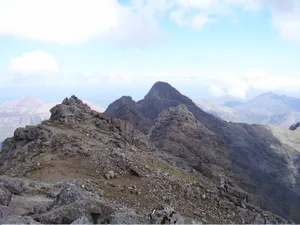
Bruach na Frìthe
Mountains & hills · 0.5 km
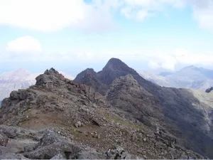
Bruach na Frìthe
Natural landmarks · 0.5 km

Bruach na Frithe
Mountains & hills · 0.5 km

Sgurr nan Gillean
Mountains & hills · 0.6 km
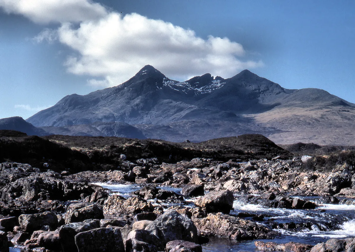
Sgùrr nan Gillean
Natural landmarks · 0.6 km
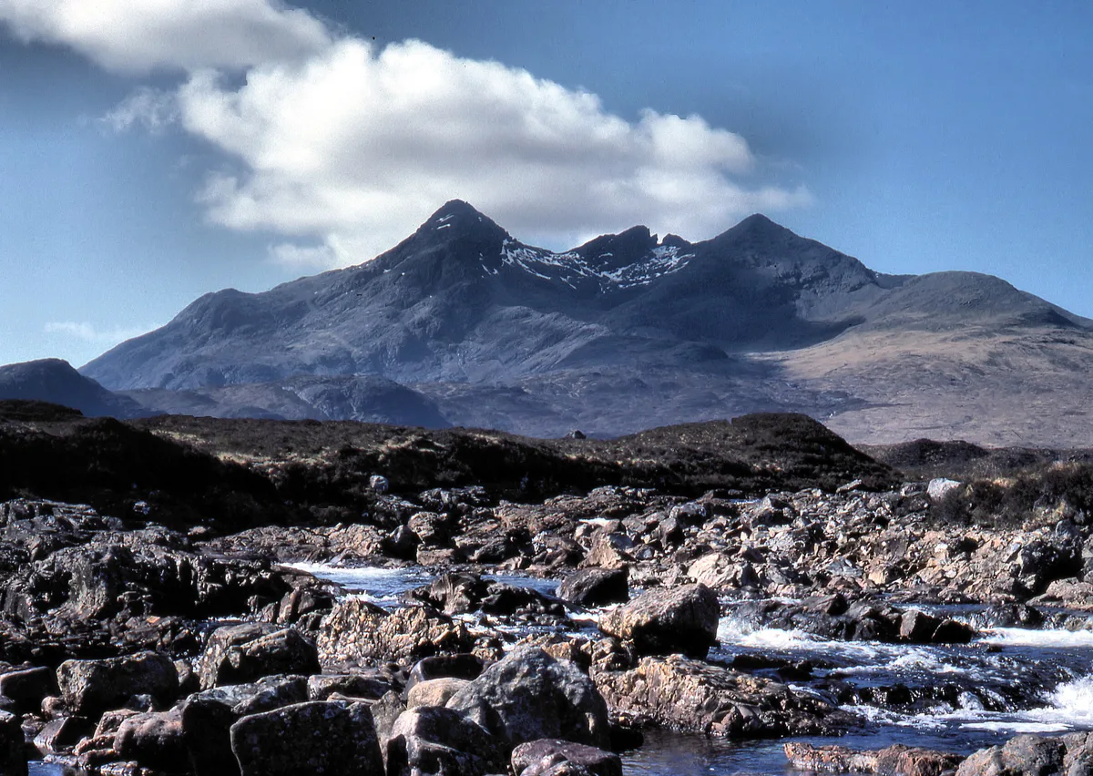
Sgùrr nan Gillean
Mountains & hills · 0.6 km

An Caisteal
Mountains & hills · 1.0 km

Sgurr an Fheadain
Mountains & hills · 1.5 km

Bidein Druim nan Ramh
Mountains & hills · 1.6 km

Sgurr na h-Uamha
Mountains & hills · 1.6 km
Bidein Druim nan Ramh
Mountains & hills · 1.6 km
Nearby
📷 3📷 3📷 3Natural landmarks · Scottish Islands
Bruach na Frìthe
Bruach na Frìthe — 958m high mountain in Highland, Scotland, UK.
📷 5Mountains & hills · Scottish Islands
Bruach na Frithe
Bruach na Frithe — a hill or mountain in scotland highlands.
📷 5Mountains & hills · Scottish Highlands
Sgurr nan Gillean
Sgurr nan Gillean — a hill or mountain in scotland highlands.
📷 4Natural landmarks · Scottish Highlands
Sgùrr nan Gillean
Sgùrr nan Gillean — 964m high mountain on the island of Skye, in Highland, Scotland, UK.
Where to eat & stay near Am Basteir
Places to stay
 📷 5
📷 5Hostels · Scottish Highlands
Sligachan Bunkhouse
Sligachan Bunkhouse — a hostel in scotland highlands.
 📷 5
📷 5Campsites · Scottish Highlands
Sligachan Campsite
Sligachan Campsite — a campsite in scotland highlands.
 📷 5
📷 5Hostels · Scottish Islands
Glenbrittle Youth Hostel
Glenbrittle Youth Hostel — a hostel in scotland highlands. Brand: Hostelling Scotland.
 📷 5
📷 5Campsites · Scottish Islands
Glenbrittle Campsite
Glenbrittle Campsite — a campsite in scotland highlands.
 📷 5
📷 5 📷 5
📷 5Hostels · Scottish Islands
Skyewalker Hostel
Skyewalker Hostel — a hostel in scotland highlands.
More natural landmarks in this region
 📷 3
📷 3Natural landmarks · Scottish Islands
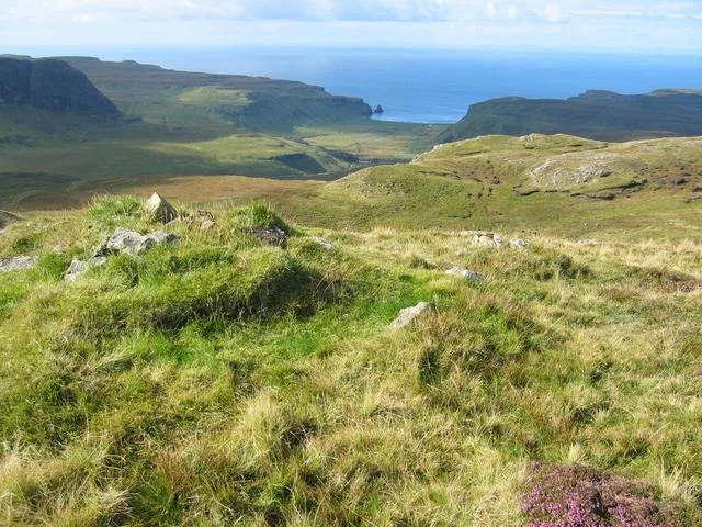
Arnaval
Arnaval — mountain on the Isle of Skye, in Highland, Scotland, UK.
 📷 5
📷 5Natural landmarks · Scottish Islands
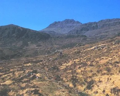
Askival
Askival — 812m high mountain in Highland, Scotland, UK.
 📷 5
📷 5Natural landmarks · Scottish Islands
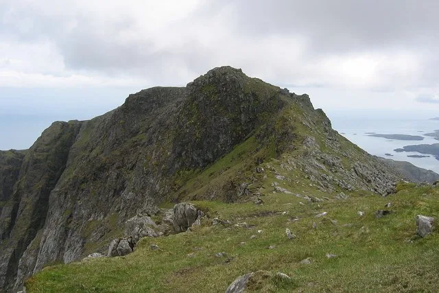
Beinn Mhòr
Beinn Mhòr — 620m high mountain on South Uist, Outer Hebrides, Scotland, UK.
 📷 3
📷 3Natural landmarks · Scottish Islands
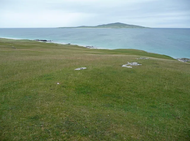
Beinn Shleibhe
Beinn Shleibhe — mountain in Outer Hebrides, Scotland, UK.
Frequently asked questions
- Where is Am Basteir?
- Am Basteir is in the Scottish Islands, United Kingdom.
- What is Am Basteir?
- Am Basteir — 934m high mountain in Highland, Scotland, UK.
- How do I get to Am Basteir?
- The nearest town is Carbost. Its coordinates are 57.2479°, -6.2030°.
- Is Am Basteir free to visit?
- Yes, Am Basteir is free to enter.