Canals · London
Monk’s Lode
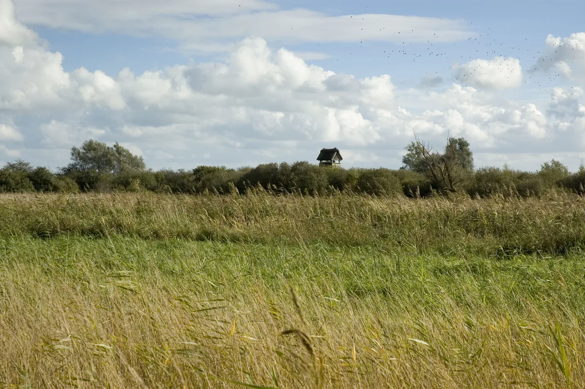
Monk’s Lode is a canal in the United Kingdom.

Wikimedia Commons contributors — see linked file page for photographer and licence licence
Plan your visit
- Typical visit
- 1 h–2 h
- Nearest railway station
- Soham · 4.1 km
- Free entry
- Dog-friendly
About
Monk’s Lode is a place of interest in Cambridgeshire, London. The site is part of the WICKEN FEN National Nature Reserve. It sits within the Ely and East Cambridgeshire parliamentary constituency. The nearest railway station is Soham, about 4.1 km away. Postcode area CB7.
Photo gallery
Protected designations
- Site of Special Scientific Interest: Wicken Fen SSSI
- National Nature Reserve: WICKEN FEN
- Ramsar wetland: Wicken Fen
Designations sourced from Natural England open data under OGL v3.
Place summary
Monk’s Lode is a canal located in Wicken, Cambridgeshire, London. It is part of the Wicken Fen Site of Special Scientific Interest (SSSI), a National Nature Reserve (NNR), and a Ramsar site. This designation highlights its ecological significance and biodiversity.
AI-generated from the structured facts on this page (operator, designation, listing, era). Not a substitute for visiting.
- Coordinates
- 52.3076, 0.2867
- County
- Cambridgeshire
- District
- East Cambridgeshire
- Parish
- Wicken
- Postcode
- CB7 5XP
- Parliamentary constituency
- Ely and East Cambridgeshire
- Nearest railway station
- Soham — 4.1 km
Sources
- wikidata: Q28000384 (CC0)
- commons: Monk's Lode - geograph.org.uk - 554636.jpg (CC BY-SA 4.0)
Other places nearby
Loading nearby places…
Nearby
 📷 5
📷 5Forests & woodlands · London
Wicken Fen
Wicken Fen is a forest or woodland in the United Kingdom.
 📷 5
📷 5Windmills · London
Smock Mill
Smock Mill — Grade II listed building-listed windmill in england-london, United Kingdom.
 Flagship📷 10
Wildlife reserves · London
Wicken Fen
Wicken Fen — nature reserve in Cambridgeshire, United Kingdom.
 📷 5
📷 5Museums · London
1930s fen dwelling
1930s fen dwelling — a museum in england-london, United Kingdom.
 📷 5
📷 5Public art & sculpture · London
Wicken Village Sign
Wicken Village Sign — a public art in england-london, United Kingdom.
 📷 5
📷 5Canals · London
Burwell Lode
Burwell Lode is a canal in the United Kingdom.
More places in this region
 📷 5
📷 5Canals · London
Bottisham Lode
Bottisham Lode is a canal in the United Kingdom.
📷 5Canals · London
Burwell Lode
Burwell Lode is a canal in the United Kingdom.
 📷 5
📷 5Canals · London
Cambridgeshire Lodes
Cambridgeshire Lodes — series of man-made waterways in the county of Cambridgeshire, England.
 📷 5
📷 5Canals · London
Camden Market
Camden Market is a place of interest in the United Kingdom.
Frequently asked questions
- Where is Monk’s Lode?
- Monk’s Lode is in Cambridgeshire, London, United Kingdom (postcode CB7 5XP), in the parish of Wicken.
- Is Monk’s Lode a protected site?
- Yes — Monk’s Lode is part of the Wicken Fen SSSI Site of Special Scientific Interest and the WICKEN FEN National Nature Reserve.
- Is Monk’s Lode free to visit?
- Yes, Monk’s Lode is free to enter.
- How do I get to Monk’s Lode?
- The nearest railway station is Soham, about 4.1 km away. Drivers can navigate to postcode CB7 5XP.