
Mountains & hills · Northern Ireland
Moneyoran Hill
In or near Upperlands.
Moneyoran Hill — mountain in northern ireland. Elevation: 414 m.

Rossographer — CC BY-SA 2.0 via Wikimedia Commons licence

Plan your visit
- Typical visit
- 3 h–8 h
- Best time of year
- Late spring – early autumn (May–Oct)
- Dog-friendly
About
Moneyoran Hill is a mountain located in northern ireland. Elevation: 414 m. A named British peak recorded in OpenStreetMap. Peaks are typically named on Ordnance Survey 1:50k mapping.
Photo gallery
Place summary
Moneyoran Hill is a mountain located in Northern Ireland. It is noted for its scenic views and natural beauty, making it a popular spot for hiking and outdoor activities. The area offers various trails that cater to different skill levels, attracting walkers and nature enthusiasts. The hill's elevation provides a vantage point for observing the surrounding landscape.
AI-generated from the structured facts on this page (operator, designation, listing, era). Not a substitute for visiting.
- Coordinates
- 54.9088, -6.7642
Sources
- osm: n332373269 (ODbL)
Other places nearby

Carntogher
Mountains & hills · 1.5 km

Craigmore
Mountains & hills · 2.3 km

Altkeeran Waterfall
Waterfalls · 3.1 km

Glenshane Pass
Natural landmarks · 3.6 km

Carn Hill
Mountains & hills · 4.3 km
Carn Hill
Mountains & hills · 4.4 km

A6 road
Natural landmarks · 4.6 km

Glenshane Pass
Mountain passes · 4.8 km

Tamnyrankin Court Tomb
Archaeological sites · 4.9 km

Corick Mountain
Mountains & hills · 5.0 km

Slaughtneil GAC
Natural landmarks · 5.0 km

Tamnyrankin
Villages · 5.2 km
Nearby
📷 3Mountains & hills · Northern Ireland
Carntogher
Carntogher — a mountain in northern-ireland, United Kingdom.
📷 5Mountains & hills · Northern Ireland
Craigmore
Craigmore — mountain in northern ireland. Elevation: 395 m.
📷 5Waterfalls · Northern Ireland
Altkeeran Waterfall
Altkeeran Waterfall — waterfall in northern ireland.
📷 3Natural landmarks · Northern Ireland
Glenshane Pass
Glenshane Pass in Northern Ireland, United Kingdom.
📷 5Mountains & hills · Northern Ireland
Carn Hill
Carn Hill — mountain in northern ireland. Elevation: 448 m.
📷 5Where to eat & stay near Moneyoran Hill
Places to stay
 📷 3
 📷 5
 📷 5📷 5
 📷 5
Places to eat & drink
 📷 7
Historic pubs · Northern Ireland
1-3 High Street, Moneymore
1-3 High Street, Moneymore in Northern Ireland, United Kingdom.
More mountains in this region
 📷 5
Mountains & hills · Northern Ireland
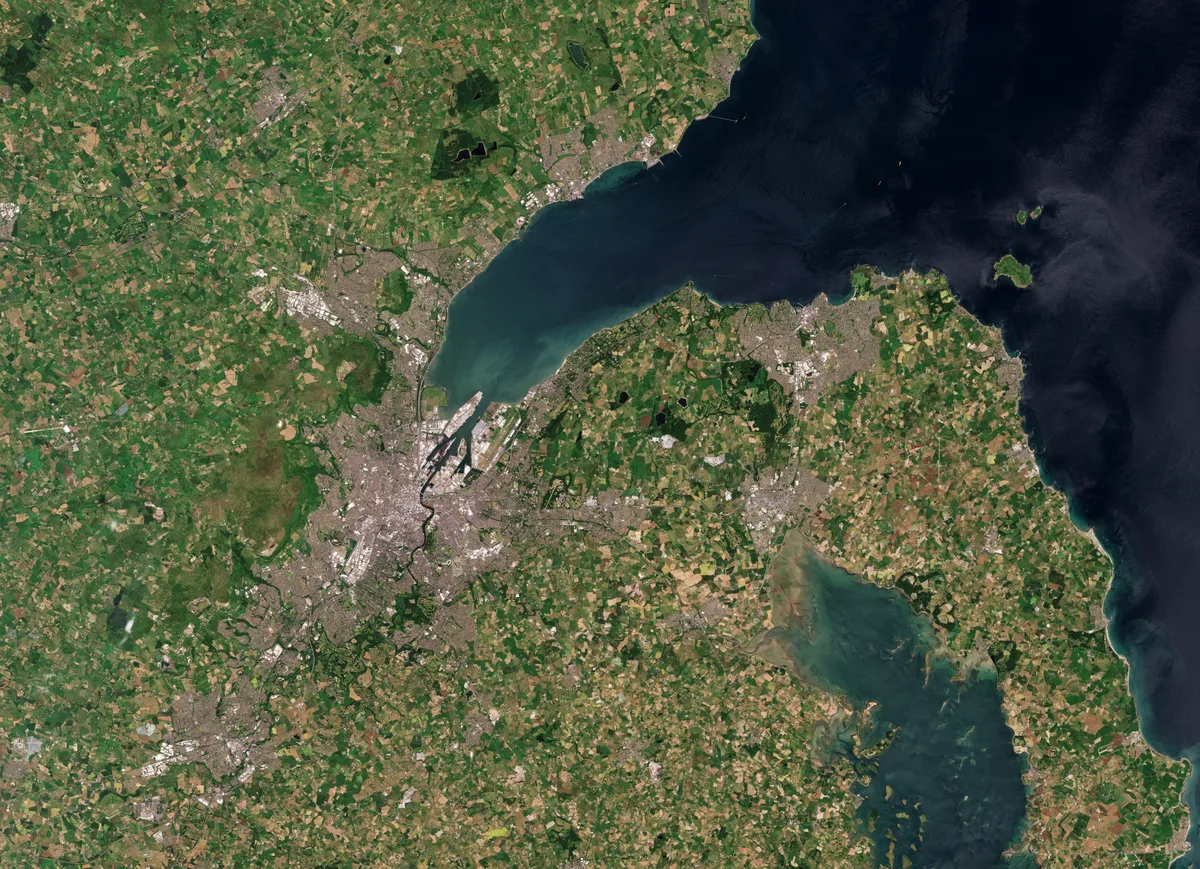
Belfast Lough
Belfast Lough — intertidal inlet in Northern Ireland.
 📷 5
 📷 4
 📷 3
Mountains & hills · Northern Ireland
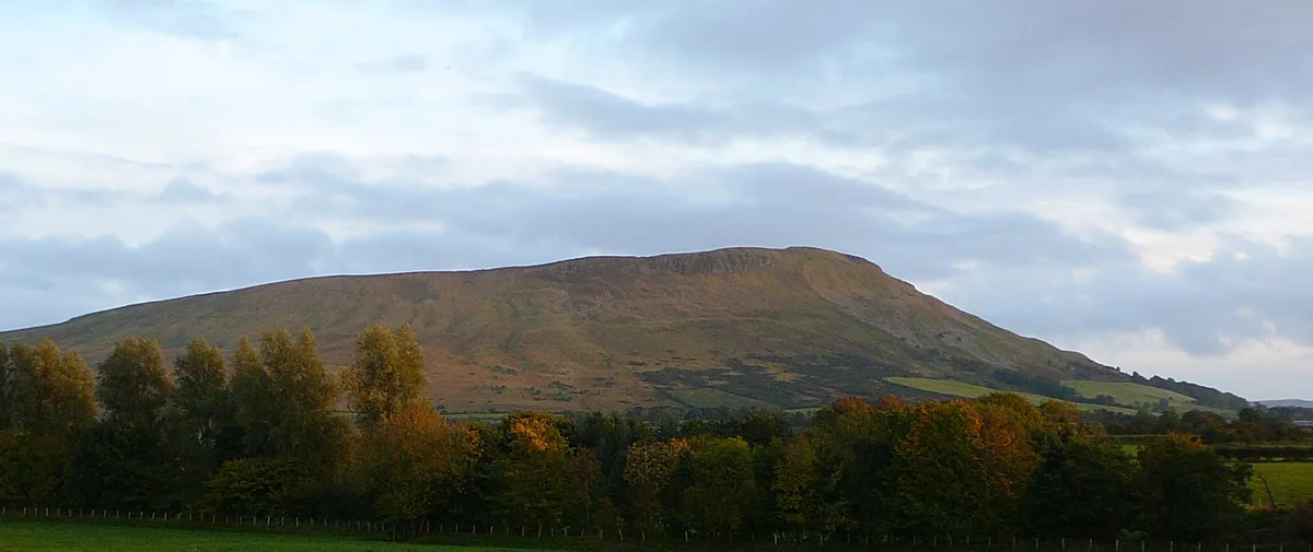
Benbradagh
Benbradagh — Named summit at 465 m.
Frequently asked questions
- Where is Moneyoran Hill?
- Moneyoran Hill is in Northern Ireland, United Kingdom.
- What is Moneyoran Hill?
- Moneyoran Hill — mountain in northern ireland. Elevation: 414 m.
- How do I get to Moneyoran Hill?
- The nearest town is Upperlands. Its coordinates are 54.9088°, -6.7642°.