
Historic bridges · West Midlands
Moat Bridge And Walls About 16 Yards South-West Of Moor Hall
In or near Bell End.
Moat Bridge And Walls About 16 Yards South-West Of Moor Hall — Grade II listed building-listed bridge in england-west-midlands, United Kingdom.

Kieron McMahon — CC BY-SA 2.0 via Wikimedia Commons licence

Plan your visit
- Typical visit
- 15 min–30 min
- Nearest railway station
- Hagley · 3.9 km
- Free entry
- Dog-friendly
Getting there & planning your visit
To visit Moat Bridge and Walls About 16 Yards South-West Of Moor Hall, the nearest railway station is Hagley, located 3.9 km away. The postcode for the site is DY9 9RY, and entry is free.
About
Moat Bridge And Walls About 16 Yards South-West Of Moor Hall is a Grade II listed building-listed bridge in england-west-midlands, United Kingdom, registered on the National Heritage List for England (NHLE entry 1100119). Listed status protects buildings and structures of special architectural or historic interest. See the linked Wikipedia article for further details.
Photo gallery
Heritage listing
Details SO 97 NW BELBROUGHTON CP MOOR HALL DRIVE (east side) 6/47 Moat bridge and walls about 16 yards south- west of Moor Hall GV II Moat bridge and walls. Late C17 with mid-C19 and late C20 repairs. Handmade brick with some blue brick repairs and sandstone coping. Bridge is about two yards wide with an elliptical archway; it is also about 10 yards long. Low parapets about one foot high. It adjoins the moat walls at its north-east end. The walls are about two, feet high; one runs about 30 yards north-west before returning north-east for about 20 yards. The other wall runs south- east for about 25 yards, then it rises to a height of about five feet and returns north-east for about 26 yards. The moat bridge and walls which survive from the late C17 rebuilding of Moor Hall (qv) are significant for the setting of the main front and also define the historic site. Included for group value. (VCH 3 (i), p 11 & 12). Listing NGR: SO9346678400 Legacy The contents of this record have been generated from a legacy data system. Legacy System number: 156312 Legacy System: LBS
From the Historic England List Entry under OGL v3.
Place summary
Moat Bridge and Walls, located about 16 yards south-west of Moor Hall in Belbroughton, Worcestershire, is a Grade II listed building. This structure exemplifies the historical architectural significance of the region in the West Midlands.
AI-generated from the structured facts on this page (operator, designation, listing, era). Not a substitute for visiting.
- Coordinates
- 52.4036, -2.0975
- County
- Worcestershire
- District
- Bromsgrove
- Parish
- Belbroughton
- Postcode
- DY9 9RY
- Parliamentary constituency
- Bromsgrove
- Nearest railway station
- Hagley — 3.9 km
Sources
- wikidata: Q26392212 (CC0)
Other places nearby

Cader Idris Glacial Erratic Boulder
Memorials & monuments · 0.9 km

Clent War Memorial
Memorials & monuments · 1.1 km

Clent
Villages · 1.2 km

Bell End
Towns & cities · 1.3 km
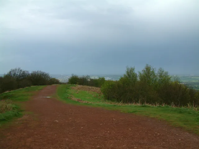
Walton Hill
Mountains & hills · 1.5 km
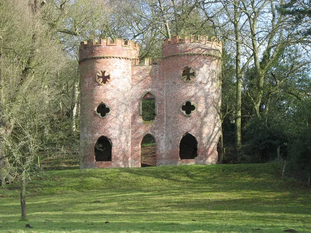
Clent Castle
Castles · 1.7 km

Folly Tower 150 Yards South Of Clent Grove
Memorials & monuments · 1.7 km

Clent Castle (Folly)
Follies · 1.7 km

Castlebourne folly
Castles · 1.8 km

Clent House
Manor houses · 1.9 km

Clent Hill - The Four Stones
Mountains & hills · 1.9 km

Four Stones
Memorials & monuments · 1.9 km
Nearby
📷 3Memorials & monuments · West Midlands
Cader Idris Glacial Erratic Boulder
Cader Idris Glacial Erratic Boulder — a memorial in england-west-midlands, United Kingdom.
📷 3Memorials & monuments · West Midlands
Clent War Memorial
Clent War Memorial — Grade II listed building-listed memorial in england-west-midlands, United Kingdom.
📷 5📷 3📷 3📷 3Where to eat & stay near Moat Bridge And Walls About 16 Yards South-West Of Moor Hall
Places to stay
 📷 4
📷 4Campsites · West Midlands
Clent Hills Camping and Caravanning Club Site
Clent Hills Camping and Caravanning Club Site — a campsite in england west midlands.
 📷 5
📷 5Hotels · West Midlands
The Talbot Hotel
The Talbot Hotel — a hotel in england west midlands.
 📷 5
📷 5Campsites · West Midlands
Blackwell Adventure Outdoor Activity Centre
Blackwell Adventure Outdoor Activity Centre — a campsite in england west midlands.
📷 5Campsites · West Midlands
Roberts Podded Village
Roberts Podded Village — a campsite in england west midlands.
📷 5Hostels · West Midlands
Stable Block at Blackwell Court
Stable Block at Blackwell Court — a hostel in england west midlands.
📷 5Hostels · West Midlands
Blackwell Court Manor House
Blackwell Court Manor House — a hostel in england west midlands.
Places to eat & drink
 📷 5
📷 5Restaurants · West Midlands
The Queens
The Queens — a restaurant in england west midlands.
 📷 5
📷 5Historic pubs · West Midlands
George Inn Public House
George Inn Public House in England West Midlands, United Kingdom.
 📷 3
📷 3Historic pubs · West Midlands
The Swan
The Swan — Historic pub — listed building or notable heritage status.
 📷 3
📷 3Historic pubs · West Midlands
The Talbot
The Talbot — Historic pub — listed building or notable heritage status.
 📷 3
📷 3Historic pubs · West Midlands
The Garibaldi Inn
The Garibaldi Inn — Historic pub — listed building or notable heritage status.
 📷 3
📷 3Historic pubs · West Midlands
The Crabmill
The Crabmill — Historic pub — listed building or notable heritage status.
More bridges in this region
 📷 3
📷 3Historic bridges · West Midlands
Wolseley Bridge
Wolseley Bridge is a historic bridge in the United Kingdom.
 📷 3
📷 3Historic bridges · West Midlands
Bridge, Gatepiers, Walls And Ha Ha South Of Blithfield Hall
Bridge, Gatepiers, Walls And Ha Ha South Of Blithfield Hall — Grade II listed building-listed bridge in england-east-midlands, United Kingdom.
 📷 3
📷 3Historic bridges · West Midlands
Bridge Over River Swarbourn At West End Of Town Hill
Bridge Over River Swarbourn At West End Of Town Hill — Grade II listed building-listed bridge in england-east-midlands, United Kingdom.
 📷 3
📷 3Historic bridges · West Midlands
Viaduct over Trent and Mersey Canal at SK 0485 1780
Viaduct over Trent and Mersey Canal at SK 0485 1780 — Grade II listed building-listed bridge in england-east-midlands, United Kingdom.
Frequently asked questions
- Where is Moat Bridge And Walls About 16 Yards South-West Of Moor Hall?
- Moat Bridge And Walls About 16 Yards South-West Of Moor Hall is in Worcestershire, the West Midlands, United Kingdom (postcode DY9 9RY), in the parish of Belbroughton.
- What is Moat Bridge And Walls About 16 Yards South-West Of Moor Hall?
- Moat Bridge And Walls About 16 Yards South-West Of Moor Hall — Grade II listed building-listed bridge in england-west-midlands, United Kingdom.
- How do I get to Moat Bridge And Walls About 16 Yards South-West Of Moor Hall?
- The nearest railway station is Hagley, about 3.9 km away. Drivers can use postcode DY9 9RY.
- Is Moat Bridge And Walls About 16 Yards South-West Of Moor Hall a listed building?
- Moat Bridge And Walls About 16 Yards South-West Of Moor Hall is officially recognised as Grade II listed building listed.
- Is Moat Bridge And Walls About 16 Yards South-West Of Moor Hall free to visit?
- Yes, Moat Bridge And Walls About 16 Yards South-West Of Moor Hall is free to enter.
- How do I get to Moat Bridge And Walls About 16 Yards South-West Of Moor Hall?
- The nearest railway station is Hagley, about 3.9 km away. Drivers can navigate to postcode DY9 9RY.