
Museums · South West England
Midford Brook
In or near Limpley Stoke.
Midford Brook is a small river in Somerset, England. It is formed by the convergence of the Wellow Brook and Cam Brook at Midford. It passes Tucking Mill and joins the River Avon close to the Dundas A

John Winder — CC BY-SA 2.0 via Wikimedia Commons licence

Plan your visit
- Typical visit
- 1.5 h–3 h
- Best time of year
- Year-round
- Nearest railway station
- Freshford · 2.2 km
- Family-friendly
- Limited wheelchair access
Getting there & planning your visit
To visit Midford Brook, the nearest railway station is Freshford, located 2.2 km away. The postcode for sat-nav is BA2 7BN. Accessibility is limited for wheelchair users.
About
Midford Brook is a small river in Somerset, England. It is formed by the convergence of the Wellow Brook and Cam Brook at Midford. It passes Tucking Mill and joins the River Avon close to the Dundas Aqueduct and the remains of the Somerset Coal Canal. For its entire length it defines the boundary between Bath & North East Somerset and Wiltshire. Although the Midford Brook is named on Ordnance Survey maps, the Environment Agency does not recognise it, instead identifying the Wellow Brook as continuing to the Avon. The Midford Brook has a catchment area of 147.4 km2 which is largely over impermeable Lias. The deep steep-sided valley means that it responds rapidly to rainfall.
Photo gallery
360° viewimagery from 2021
Imagery © Mapillary contributors, CC BY-SA 4.0
Protected designations
- Area of Outstanding Natural Beauty: Cotswolds
Designations sourced from Natural England open data under OGL v3.
From the Wikipedia article
Midford Brook is a small river in Somerset, England. It is formed by the convergence of the Wellow Brook and Cam Brook at Midford. It passes Tucking Mill and joins the River Avon close to the Dundas Aqueduct and the remains of the Somerset Coal Canal. For its entire length it defines the boundary between Bath & North East Somerset and Wiltshire. Although the Midford Brook is named on Ordnance Survey maps, the Environment Agency does not recognise it, instead identifying the Wellow Brook as continuing to the Avon. The Midford Brook has a catchment area of 147.4 km2 which is largely over impermeable Lias. The deep steep-sided valley means that it responds rapidly to rainfall.
Excerpt from Wikipedia under CC BY-SA 4.0. See the source article linked in Sources below.
- Coordinates
- 51.3611, -2.3100
- District
- Bath and North East Somerset
- Parish
- Monkton Combe
- Postcode
- BA2 7BN
- Parliamentary constituency
- Frome and East Somerset
- Nearest railway station
- Freshford — 2.2 km
- Official site
- somersetrivers.uk
Sources
- wikipedia: Midford Brook (CC BY-SA 4.0)
Other places nearby

Dundas Aqueduct
Historic houses · 0.1 km

Dundas Horse Bridge At St 784 626
Historic bridges · 0.2 km

Combe Grove Manor Hotel
Hotels · 1.1 km

Kennet And Avon Canal, Limpley Stoke Canal Bridge
Historic bridges · 1.3 km

Lock Up, Mill Lane
Historic houses · 1.3 km

Monkton Combe School
Natural landmarks · 1.3 km

Limpley Stoke Bridge (or Stokeford Bridge)
Historic bridges · 1.3 km

The Wheelwright's Arms
Historic pubs · 1.3 km
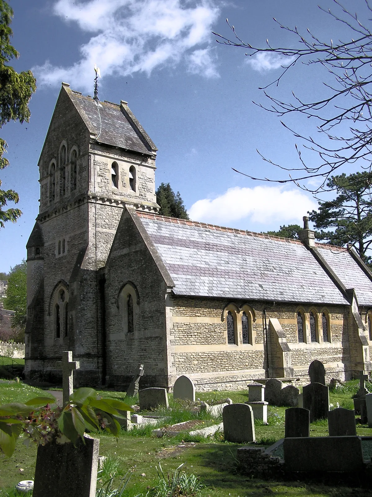
St Michael's Church, Monkton Combe
Historic churches · 1.4 km

The Hop Pole Inn
Historic pubs · 1.5 km

The American Museum (Claverton Manor)
Museums · 1.6 km

Rainbow Wood Farm
B&Bs · 1.6 km
Nearby
Flagship📷 5Historic houses · South West England
Dundas Aqueduct
Dundas Aqueduct — a Grade I-listed historic house in england-south-east, United Kingdom.
📷 5Historic bridges · South West England
Dundas Horse Bridge At St 784 626
Dundas Horse Bridge At St 784 626 — Grade II listed building-listed bridge in england-south-east, United Kingdom.
📷 5Hotels · South West England
Combe Grove Manor Hotel
Combe Grove Manor Hotel — a hotel in england south east.
📷 5Historic bridges · South West England
Kennet And Avon Canal, Limpley Stoke Canal Bridge
Kennet And Avon Canal, Limpley Stoke Canal Bridge — Grade II listed building-listed bridge in england-south-east, United Kingdom.
📷 5Historic houses · South West England
Lock Up, Mill Lane
Lock Up, Mill Lane — a Grade II*-listed historic house in england-south-east, United Kingdom.
📷 5Natural landmarks · South West England
Monkton Combe School
Monkton Combe School — a school heritage in england-south-east, United Kingdom.
Where to eat & stay near Midford Brook
Places to stay
📷 5Hotels · South West England
Combe Grove Manor Hotel
Combe Grove Manor Hotel — a hotel in england south east.
📷 5B&Bs · South West England
Rainbow Wood Farm
Rainbow Wood Farm — a bed-and-breakfast in england south east.
 📷 5
📷 5 📷 5
📷 5B&Bs · South West England
Brindleys
Brindleys — a bed-and-breakfast in england south east.
 📷 7
📷 7Hotels · South West England
Pulteney House
Pulteney House — a hotel in england south east.
 📷 5
📷 5Hotels · South West England
The Bath Spa Hotel
The Bath Spa Hotel — a hotel in england south east. Brand: Macdonald Hotels and Resort.
Places to eat & drink
📷 7Historic pubs · South West England
The Wheelwright's Arms
The Wheelwright's Arms in England South West, United Kingdom.
📷 7Historic pubs · South West England
The Hop Pole Inn
The Hop Pole Inn in England South West, United Kingdom.
 📷 5
📷 5Historic pubs · South West England
The Inn Public House
The Inn Public House in England South West, United Kingdom.
 📷 5
📷 5Cafés · South West England
The Darling Deli Kitchen
The Darling Deli Kitchen — a café in england south east.
 📷 5
📷 5Historic pubs · South West England
Cross Keys Inn
Cross Keys Inn in England South West, United Kingdom.
 📷 5
📷 5More museums in this region
 📷 5
📷 5Museums · South West England
Alexander Keiller Museum
Alexander Keiller Museum — museum in South West England, United Kingdom.
 📷 5
📷 5Museums · South West England
American Museum and Gardens
American Museum and Gardens — culture and arts museum near Bath, England, United Kingdom.
 📷 5
📷 5Museums · South West England
Atwell-Wilson Motor Museum
Atwell-Wilson Motor Museum — museum in Calne, England, UK.
 📷 5
📷 5Museums · South West England
Bath Abbey Heritage Vaults
Bath Abbey Heritage Vaults — museum in Bath Abbey, Bath, England, UK.
Frequently asked questions
- Where is Midford Brook?
- Midford Brook is in South-East England, United Kingdom (postcode BA2 7BN), in the parish of Monkton Combe.
- What is Midford Brook?
- Midford Brook is a small river in Somerset, England. It is formed by the convergence of the Wellow Brook and Cam Brook at Midford. It passes Tucking Mill and joins the River Avon close to the Dundas A
- How do I get to Midford Brook?
- The nearest railway station is Freshford, about 2.2 km away. Drivers can use postcode BA2 7BN.
- Is Midford Brook a protected site?
- Yes — Midford Brook is part of the Cotswolds National Landscape (AONB).
- How do I get to Midford Brook?
- The nearest railway station is Freshford, about 2.2 km away. Drivers can navigate to postcode BA2 7BN.