
Historic houses · South East England
Michelgrove House (Ruins of)
In or near South Stoke.
Michelgrove House (Ruins of) — a historic house in england-south-east, United Kingdom.

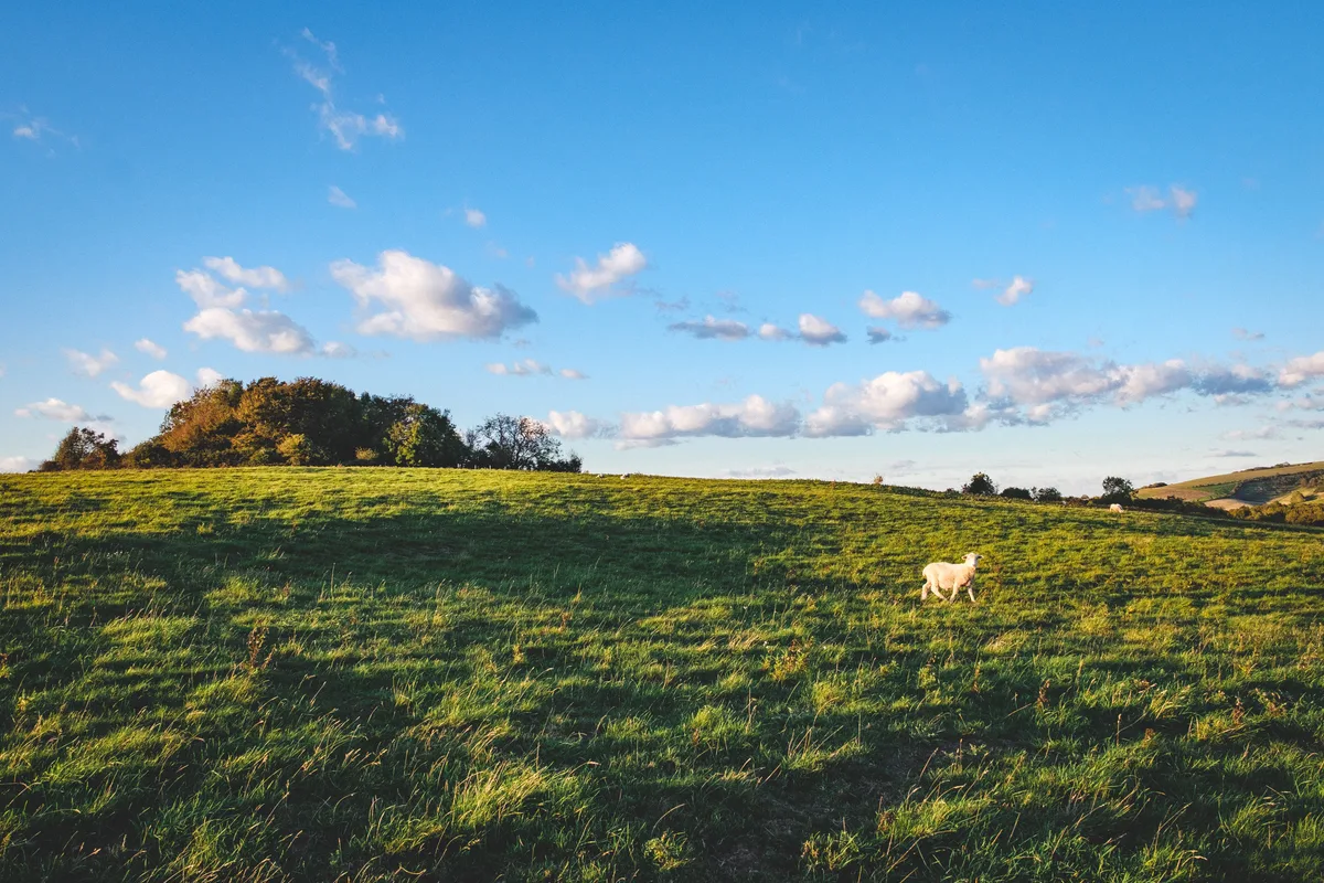
Ian Hawfinch — CC BY-SA 2.0 via Wikimedia Commons licence

Plan your visit
- Typical visit
- 1 h–2 h
- Nearest railway station
- Angmering · 5.6 km
- Free entry
- Family-friendly
- Limited wheelchair access
About
Michelgrove House (Ruins of) is a historic house located in england-south-east, United Kingdom. Sourced from OpenStreetMap (ODbL licence); see local listings for visitor information, opening hours and admission details.
Photo gallery
Official information
The Ruins of Michelgrove are the remnants of a once grand house that was home to the Shelley family from the late 15th century until 1800. The site features a castellated wall made of red brick and a turret, which are the only remains of the house after it was demolished in the 19th century.
Place summary
Michelgrove House (Ruins of) is located in South-East England. This historic site features the remains of a once-grand house, reflecting its significance in the region's architectural history. The ruins stand as a testament to the area's heritage.
AI-generated from the structured facts on this page (operator, designation, listing, era). Not a substitute for visiting.
- Coordinates
- 50.8646, -0.4645
- County
- West Sussex
- District
- Arun
- Parish
- Patching
- Postcode
- BN13 3XQ
- Parliamentary constituency
- Worthing West
- Nearest railway station
- Angmering — 5.6 km
- Official site
- www.britishlistedbuildings.co.uk
Sources
- osm: way/577493723 (ODbL)
Other places nearby

Harrow Hill
Archaeological sites · 1.6 km

The Parish Church of St John the Divine
Historic churches · 1.9 km

Blackpatch Hill
Mountains & hills · 1.9 km

Patching
Villages · 2.0 km

Clapham
Villages · 2.3 km

Fox Wood Campsite
Campsites · 2.3 km

Clapham Wood Mystery
Parks · 2.4 km
Muntham Court Romano-British site
Archaeological sites · 3.1 km

Church Hill
Mountains & hills · 3.1 km

Wild Heart Hill Camp
Caravan parks · 3.1 km

Flint mine and a bowl barrow on Church Hill, 400m south west of Findon Place
Archaeological sites · 3.3 km

Settlement site in Chantry Bottom
Vineyards · 3.3 km
Nearby
📷 5Archaeological sites · South East England
Harrow Hill
Harrow Hill — a archaeological in england-south-east, United Kingdom.
📷 5Historic churches · South East England
The Parish Church of St John the Divine
The Parish Church of St John the Divine — a Grade I-listed church in england-south-east, United Kingdom.
📷 5Mountains & hills · South East England
Blackpatch Hill
Blackpatch Hill — a hill or mountain in england south east.
📷 5📷 5📷 5Campsites · South East England
Fox Wood Campsite
Fox Wood Campsite — a campsite in england south east.
Where to eat & stay near Michelgrove House (Ruins of)
Places to stay
📷 5Campsites · South East England
Fox Wood Campsite
Fox Wood Campsite — a campsite in england south east.
📷 5Caravan parks · South East England
Wild Heart Hill Camp
Wild Heart Hill Camp — a caravan park in england south east.
 📷 5
📷 5 📷 5
📷 5Hotels · South East England
Angmering Manor Hotel
Angmering Manor Hotel — a hotel in england south east.
 📷 5
📷 5Caravan parks · South East England
Northbrook Farm Caravan Club
Northbrook Farm Caravan Club — a caravan park in england south east.
 📷 5
📷 5Hostels · South East England
Sussex Heritage Centre
Sussex Heritage Centre — a hostel in england south east.
Places to eat & drink
 📷 5
📷 5Historic pubs · South East England
The Black Rabbit Public House
The Black Rabbit Public House in England South East, United Kingdom.
 📷 5
📷 5Historic pubs · South East England
The Frankland Arms Public House
The Frankland Arms Public House in England South East, United Kingdom.
 📷 7
📷 7Historic pubs · South East England
St Marys Gate Public House
St Marys Gate Public House in England South East, United Kingdom.
 📷 5
📷 5Historic pubs · South East England
The Newburgh Arms
The Newburgh Arms in England South East, United Kingdom.
 📷 5
📷 5Historic pubs · South East England
The Victory Public House
The Victory Public House in England South East, United Kingdom.
 📷 5
📷 5Historic pubs · South East England
The 6 Bells Public House
The 6 Bells Public House in England South East, United Kingdom.
More historic houses in this region
 📷 5
📷 5Historic houses · South East England
12 and 14 High Street, Rochester
12 and 14 High Street, Rochester — building in Rochester, Kent, England, UK.
 📷 5
📷 5Historic houses · South East England
Berkeley House
Berkeley House — house in Rochester, Kent, England, UK.
.jpg?width=1200) 📷 5
📷 5Historic houses · South East England
Betchworth House
Betchworth House — house in Betchworth, Mole Valley, England, UK.
 📷 5
📷 5Historic houses · South East England
Bookham Grove
Bookham Grove — building in Mole Valley, Surrey, England, UK.
Frequently asked questions
- Where is Michelgrove House (Ruins of)?
- Michelgrove House (Ruins of) is in West Sussex, South-East England, United Kingdom (postcode BN13 3XQ), in the parish of Patching.
- What is Michelgrove House (Ruins of)?
- Michelgrove House (Ruins of) — a historic house in england-south-east, United Kingdom.
- How do I get to Michelgrove House (Ruins of)?
- The nearest railway station is Angmering, about 5.6 km away. Drivers can use postcode BN13 3XQ.
- How do I get to Michelgrove House (Ruins of)?
- The nearest railway station is Angmering, about 5.6 km away. Drivers can navigate to postcode BN13 3XQ.