
Natural landmarks · Central Scotland
Menstrie Glen
In or near Blairlogie.
Menstrie Glen in Scotland Islands, United Kingdom.

Mick Garratt — CC BY-SA 2.0 via Wikimedia Commons licence

Plan your visit
- Typical visit
- 1 h–2 h
- Nearest railway station
- Alloa · 6.2 km
- Free entry
- Dog-friendly
About
Menstrie Glen is a place of interest in Scotland Islands, United Kingdom — drawn from open-data sources for visitor reference. See the linked Wikipedia article for the full description.
Photo gallery
From the Wikipedia article
Menstrie Glen is the glen which separates Dumyat from Myreton Hill and the main body of the Ochil Hills in Scotland. Once farmed but no longer inhabited, it is now used for sheep pasture, a public water supply and recreation in the form of fishing and walking. A plan is under consideration (autumn 2014) for commercial forestry on the eastern and northern flanks of the glen.
Excerpt from Wikipedia under CC BY-SA 4.0. See the source article linked in Sources below.
Background
History
The history of settlement and land-use from 1450 to the mid-20th century has been published. In medieval times, much of Menstrie Glen was Crown land and used mainly to pasture sheep. The Campbells of Argyll had come into possession of the land east of the Menstrie Burn by the early 14th century and, up to at least 1530, the lands of Jerah were controlled by the Cistercians of Culross. In the 18th century ownership of the glen passed to local lairds. Farmsteads, of which there were then more than a dozen, were operated by the lairds' tenants. In the mid-18th Century James Wright, laird of Loss, owned about half of the glen until his death in 1770. He left voluminous notes and paperwork…
Visiting
The lower (southern) parts of the glen, reached by footpaths from Menstrie, give access to routes to the summits of Dumyat and Myreton Hill. A gated farm track leads from Menstrie around the eastern and northern flanks of the glen to the ruin of Red Brae (NS842992), near Jerah. Another gated farm track goes from the Sherrifmuir Road (at NS819994) past the Lossburn Reservoir, around the southern and western flanks of Menstrie Glen, finally descending past Dumyat Farm (once named Foreside of Lipney) to Cotkerse, a kilometre west of Menstrie at NS834968. In October 2008, Menstrie Community Council announced a proposal to make access to the glen easier and to install visitor attractions. In…
Sourced from Wikipedia under CC BY-SA 4.0.
- Coordinates
- 56.1580, -3.8570
- District
- Stirling
- Postcode
- FK9 5QF
- Parliamentary constituency
- Stirling and Strathallan
- Nearest railway station
- Alloa — 6.2 km
Sources
- wikidata: Q15253049 (CC0)
- wikipedia: Menstrie Glen (CC BY-SA 4.0)
Other places nearby

Myreton Hill, dun site
Archaeological sites · 0.6 km

Old Bridge, Ochil Road, Menstrie
Historic bridges · 0.7 km
Menstrie War Memorial
Memorials & monuments · 0.7 km
Fox Boy
Public art & sculpture · 0.7 km

Broomhall Castle
Castles · 0.8 km
Menstrie
Other places · 0.8 km
Menstrie Castle
Castles · 1.0 km

Menstrie and Glenochil railway station
Heritage railway stations · 1.1 km
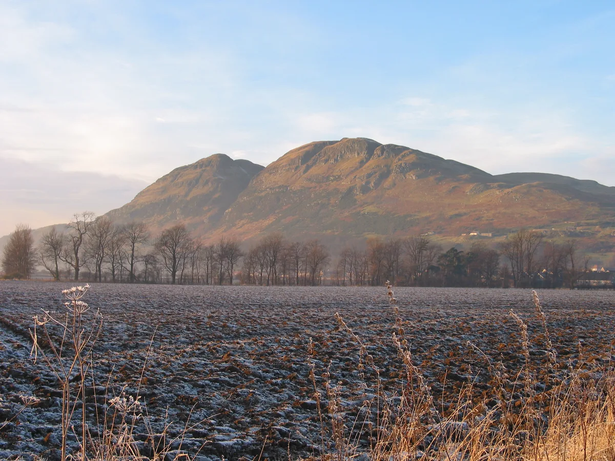
Dumyat
Mountains & hills · 1.2 km

Argyll and Sutherland Highlanders Memorial Badge
Memorials & monuments · 1.2 km
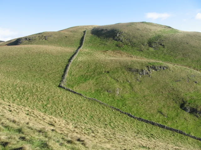
Myreton Hill
Mountains & hills · 1.2 km
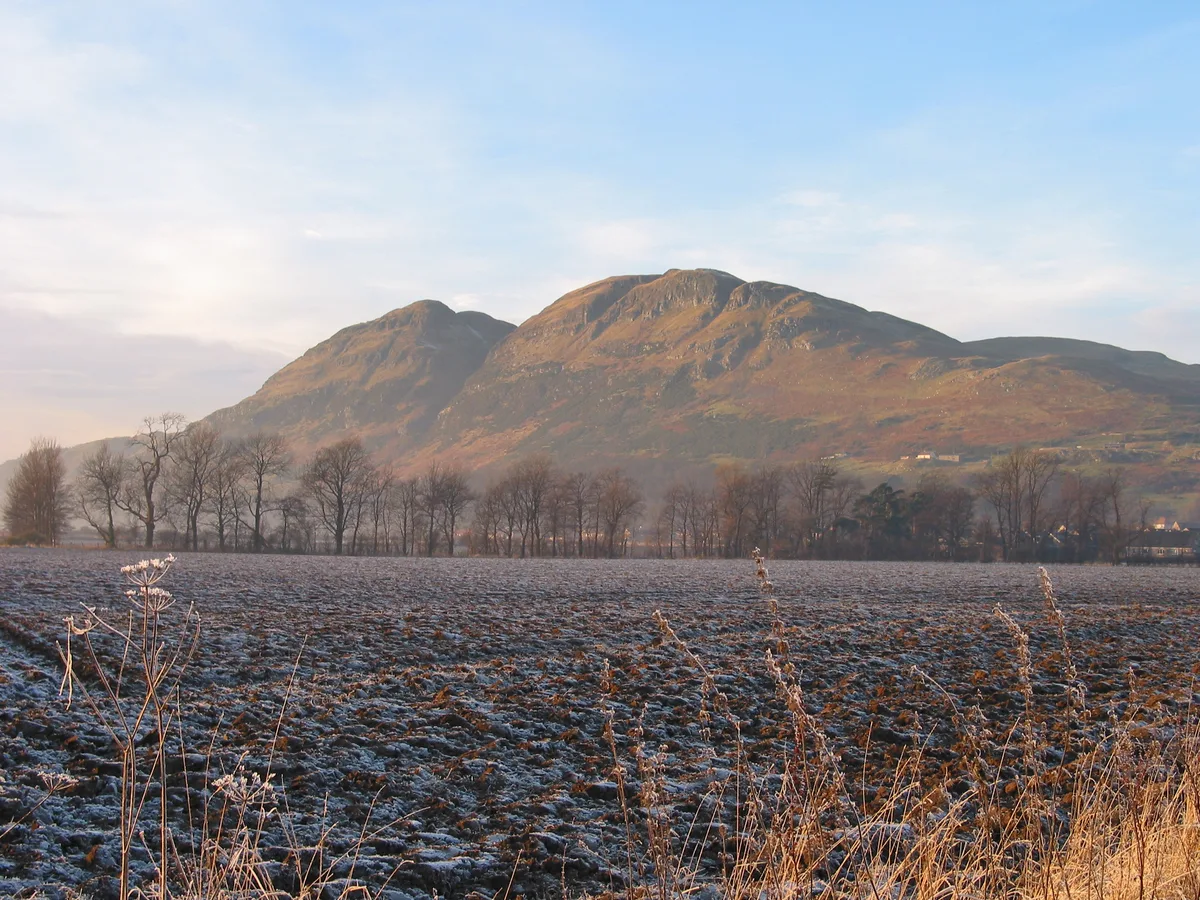
Dumyat
Natural landmarks · 1.3 km
Nearby
📷 3Archaeological sites · Central Scotland
Myreton Hill, dun site
Myreton Hill, dun site — a archaeological in scotland-central, United Kingdom.
📷 5Historic bridges · Central Scotland
Old Bridge, Ochil Road, Menstrie
Old Bridge, Ochil Road, Menstrie — category B listed building-listed bridge in scotland-central, United Kingdom.
📷 3Memorials & monuments · Central Scotland
Menstrie War Memorial
Menstrie War Memorial — a memorial in scotland-central, United Kingdom.
📷 3Public art & sculpture · Central Scotland
Fox Boy
Fox Boy — a public art in scotland-central, United Kingdom.
📷 4Castles · Central Scotland
Broomhall Castle
Broomhall Castle in Scotland Islands, United Kingdom.
📷 4Other places · Central Scotland
Menstrie
Menstrie in Scotland Islands, United Kingdom.
Where to eat & stay near Menstrie Glen
Places to stay
 📷 5
📷 5Campsites · Central Scotland
Witches Craig Caravan and Camping Park
Witches Craig Caravan and Camping Park — a campsite in scotland central.
 📷 5
📷 5 📷 5
📷 5Hotels · Central Scotland
Stirling Court Hotel
Stirling Court Hotel — a hotel in scotland central.
 📷 5
📷 5Caravan parks · Central Scotland
The Woods Caravan Park
The Woods Caravan Park — a caravan park in scotland central.
 📷 5
📷 5Hostels · Central Scotland
William Wallace Hotel
William Wallace Hotel — a hostel in scotland central.
 📷 5
📷 5Hostels · Central Scotland
Stirling Youth Hostel
Stirling Youth Hostel — a hostel in scotland central.
Places to eat & drink
 📷 7
📷 7Historic pubs · Central Scotland
Johnstone Arms Hotel, 48 Stirling Street, Alva
Johnstone Arms Hotel, 48 Stirling Street, Alva in Scotland Central, United Kingdom.
 📷 6
📷 6Historic pubs · Central Scotland
Westerton Arms, 34 Henderson Street, Bridge of Allan
Westerton Arms, 34 Henderson Street, Bridge of Allan in Scotland Central, United Kingdom.
 📷 6
📷 6Historic pubs · Central Scotland
The Gothenburg
The Gothenburg in Scotland Islands, United Kingdom.
 📷 7
📷 7Historic pubs · Central Scotland
Ye Olde House Inn, 25-26 Forth Street, Kincardine On Forth
Ye Olde House Inn, 25-26 Forth Street, Kincardine On Forth in Scotland Central, United Kingdom.
 📷 5
📷 5Historic pubs · Central Scotland
Dennyloanhead
Dennyloanhead in Scotland Islands, United Kingdom.
 📷 7
📷 7Historic pubs · Central Scotland
Red Lion Inn, Low Causeway, Culross
Red Lion Inn, Low Causeway, Culross in Scotland Central, United Kingdom.
More natural landmarks in this region
 📷 4
📷 4Natural landmarks · Central Scotland
Blackadder Water
Blackadder Water in England North East, United Kingdom.
 📷 3
📷 3Natural landmarks · Central Scotland
A6105 road
A6105 road in England North East, United Kingdom.
 📷 3
📷 3 📷 3
📷 3Frequently asked questions
- Where is Menstrie Glen?
- Menstrie Glen is in the Scottish Highlands, United Kingdom (postcode FK9 5QF).
- What is Menstrie Glen?
- Menstrie Glen in Scotland Islands, United Kingdom.
- How do I get to Menstrie Glen?
- The nearest railway station is Alloa, about 6.2 km away. Drivers can use postcode FK9 5QF.
- Is Menstrie Glen free to visit?
- Yes, Menstrie Glen is free to enter.
- How do I get to Menstrie Glen?
- The nearest railway station is Alloa, about 6.2 km away. Drivers can navigate to postcode FK9 5QF.