
Museums · South West England
Mells River
In or near Great Elm.
The Mells River flows through the eastern Mendip Hills in Somerset, England. It rises at Gurney Slade and flows east joining the River Frome at Frome. The river forms one of the boundaries of Mells Pa

Maurice Pullin — CC BY-SA 2.0 via Wikimedia Commons licence

Plan your visit
- Typical visit
- 1.5 h–3 h
- Best time of year
- Year-round
- Nearest railway station
- Frome · 2.3 km
- Family-friendly
- Limited wheelchair access
Getting there & planning your visit
To visit Mells River, the nearest railway station is Frome, located 2.3 km away. The postcode for sat-nav is BA11 2NS. Entry has limited wheelchair accessibility.
About
The Mells River flows through the eastern Mendip Hills in Somerset, England. It rises at Gurney Slade and flows east joining the River Frome at Frome. The river forms one of the boundaries of Mells Park, a country house estate in Mells. A few kilometres downstream it flows between the pre-Roman fortifications of Wadbury Camp to the north and Tedbury Camp to the south. The river flows through the western part of the Harridge Woods nature reserve. Mells River also powered the Old Ironstone Works and several other mills set up by James Fussell III in 1744. It is now a 0.25 hectare biological Site of Special Scientific Interest, as it is used by both Greater and Lesser Horseshoe Bats. Vobster Inn Bridge, which carries the lane over the Mells River, is dated 1764 and is Grade II listed. At Great Elm the Murtry Aqueduct, built around 1795, carried the Dorset and Somerset Canal over the river. The river takes the outfall from Whatley Quarry. Downstream of the outfall is the Mells River Sink. This acts as a spring when the water table is high and as a sink into underground aquifers, through the Limestone, when the water table is low. Water tracing showed this to be part of an underground part of the river 2.5 kilometres (1.6 mi) long. Archaeological investigations found the remains of woolly rhinoceros bones and a 1st-century bronze brooch.
Photo gallery
From the Wikipedia article
The Mells River flows through the eastern Mendip Hills in Somerset, England. It rises at Gurney Slade and flows east joining the River Frome at Frome. The river forms one of the boundaries of Mells Park, a country house estate in Mells. A few kilometres downstream it flows between the pre-Roman fortifications of Wadbury Camp to the north and Tedbury Camp to the south. The river flows through the western part of the Harridge Woods nature reserve. Mells River also powered the Old Ironstone Works and several other mills set up by James Fussell III in 1744. It is now a 0.25 hectare biological Site of Special Scientific Interest, as it is used by both Greater and Lesser Horseshoe Bats. Vobster Inn Bridge, which carries the lane over the Mells River, is dated 1764 and is Grade II listed. At Great Elm the Murtry Aqueduct, built around 1795, carried the Dorset and Somerset Canal over the river. The river takes the outfall from Whatley Quarry. Downstream of the outfall is the Mells River Sink. This acts as a spring when the water table is high and as a sink into underground aquifers, through the Limestone, when the water table is low. Water tracing showed this to be part of an underground part of the river 2.5 kilometres (1.6 mi) long. Archaeological investigations found the remains of woolly rhinoceros bones and a 1st-century bronze brooch.
Excerpt from Wikipedia under CC BY-SA 4.0. See the source article linked in Sources below.
- Coordinates
- 51.2472, -2.3206
- District
- Somerset
- Parish
- Selwood
- Postcode
- BA11 2NS
- Parliamentary constituency
- Frome and East Somerset
- Nearest railway station
- Frome — 2.3 km
- Official site
- greatelm.org
Sources
- wikipedia: Mells River (CC BY-SA 4.0)
Other places nearby

Bridge And Walling Of Bank Of Former Ngr St 7728 4993 To Ngr St 7740 4987
Historic bridges · 0.5 km

Selwood Manor
Manor houses · 0.8 km

The Merlin
Theatres · 0.9 km

Merlin Theatre
Open-air theatres · 0.9 km

Orchardleigh Lake
Natural landmarks · 1.0 km
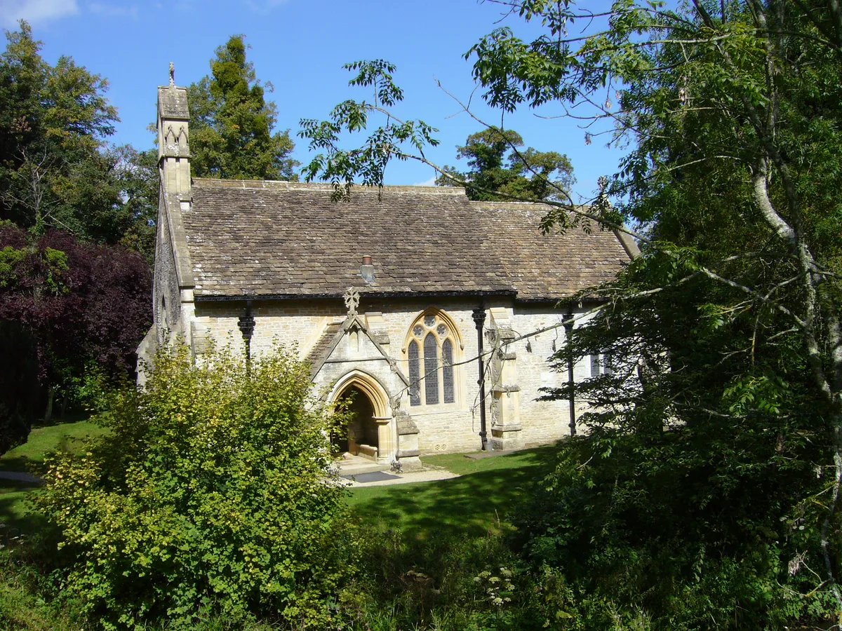
Church of St Mary, Orchardleigh
Historic churches · 1.2 km

Bridge And Sluice At Ngr St 7818 5100
Historic bridges · 1.3 km

Murtry Old Bridge
Historic bridges · 1.3 km

Murtry Aqueduct
Historic bridges · 1.5 km
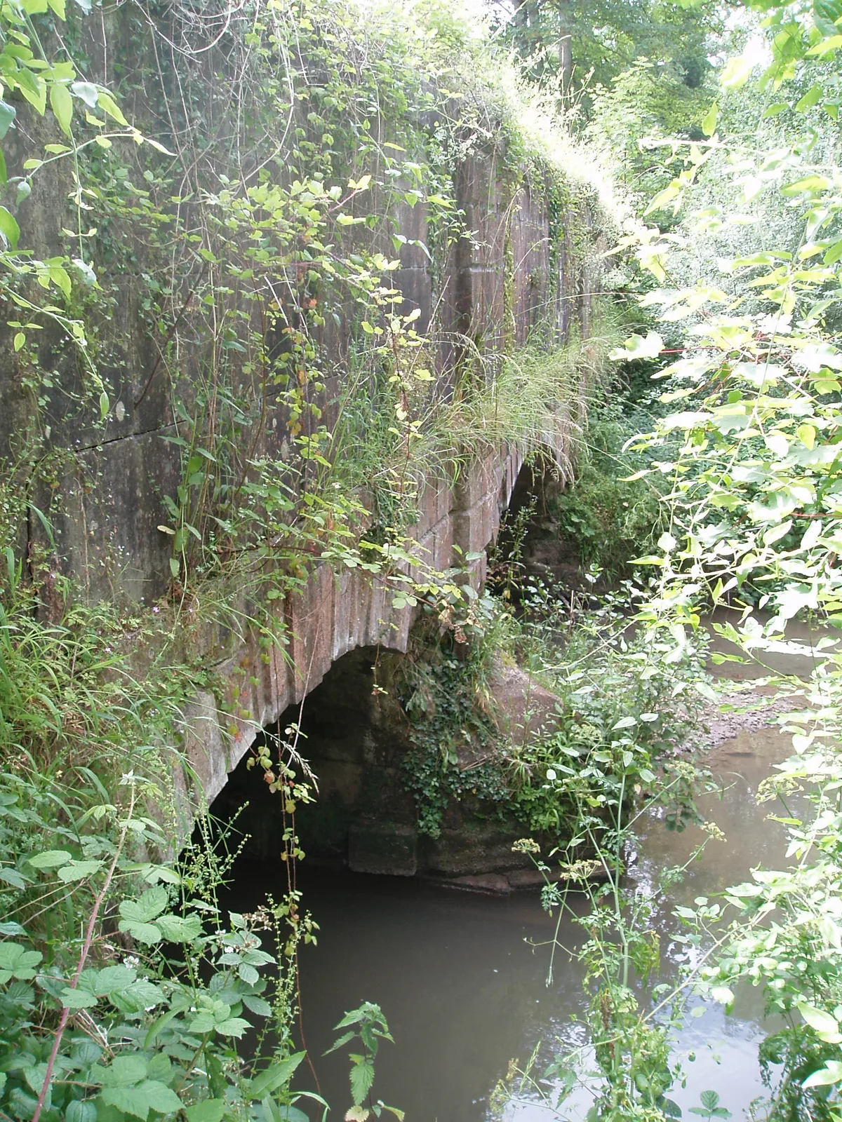
Murtry Aqueduct
Aqueducts · 1.5 km

Frome Dissenters Cemetery
Cemeteries · 1.6 km

Black Swan Arts
Galleries · 1.6 km
Nearby
📷 5Historic bridges · South West England
Bridge And Walling Of Bank Of Former Ngr St 7728 4993 To Ngr St 7740 4987
Bridge And Walling Of Bank Of Former Ngr St 7728 4993 To Ngr St 7740 4987 — Grade II listed building-listed bridge in england-south-east, United Kingdom.
📷 5Manor houses · South West England
Selwood Manor
Selwood Manor — Grade II listed building-listed manor in england-south-east, United Kingdom.
📷 5📷 5Open-air theatres · South West England
Merlin Theatre
community theatre (with a 240-seat auditorium and a smaller open-air theatre) in Frome, England
📷 5Natural landmarks · South West England
Orchardleigh Lake
Orchardleigh Lake — lake in the United Kingdom.
📷 5Historic churches · South West England
Church of St Mary, Orchardleigh
Church of St Mary, Orchardleigh — church in Orchardleigh, Somerset, England, UK.
Where to eat & stay near Mells River
Places to stay
 📷 5
📷 5 📷 7
📷 7Hotels · South West England
The Woolpack Inn
The Woolpack Inn — a hotel in england south east.
 📷 5
📷 5Campsites · South West England
Pitchperfect
Pitchperfect — a campsite in england south east.
 📷 5
📷 5Caravan parks · South West England
Barrow Farm CL
Barrow Farm CL — a caravan park in england south east.
 📷 5
📷 5 📷 5
📷 5Campsites · South West England
Farleigh Road Campsite
Farleigh Road Campsite — a campsite in england south east.
Places to eat & drink
 📷 6
📷 6Historic pubs · South West England
The Three Swan's Inn
The Three Swan's Inn in England South West, United Kingdom.
 📷 7
📷 7Restaurants · South West England
The Old Bath Arms
The Old Bath Arms — a restaurant in england south east.
 📷 5
📷 5Historic pubs · South West England
The Talbot Inn
The Talbot Inn in England South West, United Kingdom.
 📷 5
📷 5 📷 7
📷 7Historic pubs · South West England
The George Inn
The George Inn — Historic pub — listed building or notable heritage status.
 📷 7
📷 7More museums in this region
 📷 5
📷 5Museums · South West England
Alexander Keiller Museum
Alexander Keiller Museum — museum in South West England, United Kingdom.
 📷 5
📷 5Museums · South West England
American Museum and Gardens
American Museum and Gardens — culture and arts museum near Bath, England, United Kingdom.
 📷 5
📷 5Museums · South West England
Atwell-Wilson Motor Museum
Atwell-Wilson Motor Museum — museum in Calne, England, UK.
 📷 5
📷 5Museums · South West England
Bath Abbey Heritage Vaults
Bath Abbey Heritage Vaults — museum in Bath Abbey, Bath, England, UK.
Frequently asked questions
- Where is Mells River?
- Mells River is in South-East England, United Kingdom (postcode BA11 2NS), in the parish of Selwood.
- What is Mells River?
- The Mells River flows through the eastern Mendip Hills in Somerset, England. It rises at Gurney Slade and flows east joining the River Frome at Frome. The river forms one of the boundaries of Mells Pa
- How do I get to Mells River?
- The nearest railway station is Frome, about 2.3 km away. Drivers can use postcode BA11 2NS.
- How do I get to Mells River?
- The nearest railway station is Frome, about 2.3 km away. Drivers can navigate to postcode BA11 2NS.