
Historic bridges · South West England
Bridge And Walling Of Bank Of Former Ngr St 7728 4993 To Ngr St 7740 4987
In or near Great Elm.
Bridge And Walling Of Bank Of Former Ngr St 7728 4993 To Ngr St 7740 4987 — Grade II listed building-listed bridge in england-south-east, United Kingdom.

Neil Owen — CC BY-SA 2.0 via Wikimedia Commons licence

Plan your visit
- Typical visit
- 15 min–30 min
- Nearest railway station
- Frome · 2.6 km
- Free entry
- Dog-friendly
Getting there & planning your visit
The nearest railway station is Frome, located 2.6 km away. Entry is free, and the site is accessible. The postcode for navigation is BA11 2NZ.
About
Bridge And Walling Of Bank Of Former Ngr St 7728 4993 To Ngr St 7740 4987 is a Grade II listed building-listed bridge in england-south-east, United Kingdom, registered on the National Heritage List for England (NHLE entry 1058898). Listed status protects buildings and structures of special architectural or historic interest. See the linked Wikipedia article for further details.
Photo gallery
Heritage listing
Details ST74NE, 7/458 SELWOOD CP, SPRING GARDENS, Bridge and walling of bank of former canal from NGR ST 7728 4993 to NGR ST 7740 4987 II Bridge and walling of bank of former canal for the Dorset and Somerset Canal. Late C18, bridge restored C20. Bridge of rubble, 2 low segmental archways, stone vassoirs, cut water to west; rubble parapet to each side with a rough rubble coping. Rubble wall approximately 2 metres high acting as a retaining wall for the bank of the former canal extending 140 metres to the west. Listing NGR: ST7728049930 Legacy The contents of this record have been generated from a legacy data system. Legacy System number: 267405 Legacy System: LBS
From the Historic England List Entry under OGL v3.
Place summary
The Bridge and Walling of Bank is located in Selwood, South-East England, with the postcode BA11. This structure is designated as a Grade II listed building, highlighting its historical significance.
AI-generated from the structured facts on this page (operator, designation, listing, era). Not a substitute for visiting.
- Coordinates
- 51.2481, -2.3269
- District
- Somerset
- Parish
- Selwood
- Postcode
- BA11 2NZ
- Parliamentary constituency
- Frome and East Somerset
- Nearest railway station
- Frome — 2.6 km
Sources
- wikidata: Q26311183 (CC0)
Other places nearby

Mells River
Museums · 0.5 km

Selwood Manor
Manor houses · 0.5 km

Murtry Old Bridge
Historic bridges · 0.8 km

Murtry Aqueduct
Historic bridges · 1.1 km
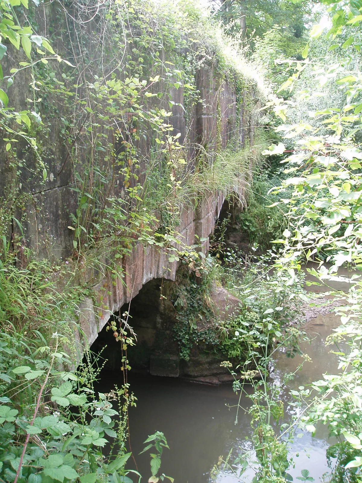
Murtry Aqueduct
Aqueducts · 1.1 km

Orchardleigh Lake
Natural landmarks · 1.1 km
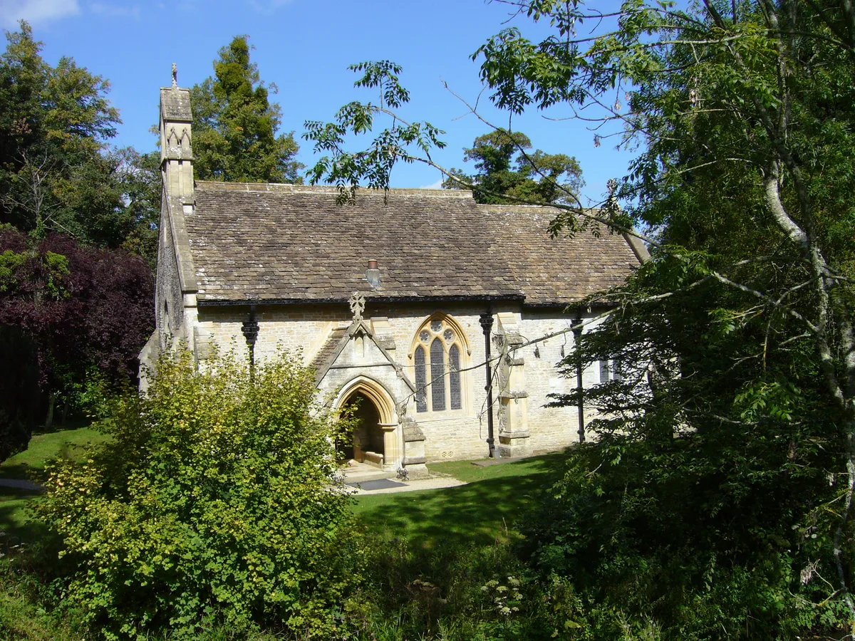
Church of St Mary, Orchardleigh
Historic churches · 1.1 km
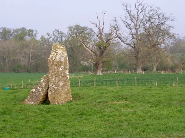
Orchardleigh Stones
Archaeological sites · 1.2 km

The Merlin
Theatres · 1.3 km

Merlin Theatre
Open-air theatres · 1.3 km

Bridge And Sluice At Ngr St 7818 5100
Historic bridges · 1.4 km

Frome Dissenters Cemetery
Cemeteries · 1.5 km
Nearby
📷 5Museums · South West England
Mells River
The Mells River flows through the eastern Mendip Hills in Somerset, England. It rises at Gurney Slade and flows east joining the River Frome at Frome. The river forms one of the boundaries of Mells Pa
📷 5Manor houses · South West England
Selwood Manor
Selwood Manor — Grade II listed building-listed manor in england-south-east, United Kingdom.
📷 5Historic bridges · South West England
Murtry Old Bridge
Murtry Old Bridge — scheduled monument-listed bridge in england-south-east, United Kingdom.
📷 5Historic bridges · South West England
Murtry Aqueduct
Murtry Aqueduct is a historic bridge in the United Kingdom.
📷 5Aqueducts · South West England
Murtry Aqueduct
Murtry Aqueduct — grade II listed aqueduct in the United Kingdom.
📷 5Natural landmarks · South West England
Orchardleigh Lake
Orchardleigh Lake — lake in the United Kingdom.
Where to eat & stay near Bridge And Walling Of Bank Of Former Ngr St 7728 4993 To Ngr St 7740 4987
Places to stay
 📷 5
📷 5 📷 7
📷 7Hotels · South West England
The Woolpack Inn
The Woolpack Inn — a hotel in england south east.
 📷 5
📷 5Campsites · South West England
Pitchperfect
Pitchperfect — a campsite in england south east.
 📷 5
📷 5Caravan parks · South West England
Barrow Farm CL
Barrow Farm CL — a caravan park in england south east.
 📷 5
📷 5 📷 5
📷 5Campsites · South West England
Farleigh Road Campsite
Farleigh Road Campsite — a campsite in england south east.
Places to eat & drink
 📷 6
📷 6Historic pubs · South West England
The Three Swan's Inn
The Three Swan's Inn in England South West, United Kingdom.
 📷 7
📷 7Restaurants · South West England
The Old Bath Arms
The Old Bath Arms — a restaurant in england south east.
 📷 5
📷 5Historic pubs · South West England
The Talbot Inn
The Talbot Inn in England South West, United Kingdom.
 📷 5
📷 5 📷 7
📷 7 📷 7
📷 7Historic pubs · South West England
The George Inn
The George Inn — Historic pub — listed building or notable heritage status.
More bridges in this region
 📷 5
📷 5Historic bridges · South West England
Avoncliff Aqueduct
Avoncliff Aqueduct is a historic bridge in the United Kingdom.
📷 5Historic bridges · South West England
Avoncliff Aqueduct
Avoncliff Aqueduct is a historic bridge in the United Kingdom.
 📷 5
📷 5Historic bridges · South West England
Bradford Viaduct
Bradford Viaduct is a historic bridge in the United Kingdom.
 📷 5
📷 5Historic bridges · South West England
Chippenham Viaduct
Chippenham Viaduct is a historic bridge in the United Kingdom.
Frequently asked questions
- Where is Bridge And Walling Of Bank Of Former Ngr St 7728 4993 To Ngr St 7740 4987?
- Bridge And Walling Of Bank Of Former Ngr St 7728 4993 To Ngr St 7740 4987 is in South-East England, United Kingdom (postcode BA11 2NZ), in the parish of Selwood.
- What is Bridge And Walling Of Bank Of Former Ngr St 7728 4993 To Ngr St 7740 4987?
- Bridge And Walling Of Bank Of Former Ngr St 7728 4993 To Ngr St 7740 4987 — Grade II listed building-listed bridge in england-south-east, United Kingdom.
- How do I get to Bridge And Walling Of Bank Of Former Ngr St 7728 4993 To Ngr St 7740 4987?
- The nearest railway station is Frome, about 2.6 km away. Drivers can use postcode BA11 2NZ.
- Is Bridge And Walling Of Bank Of Former Ngr St 7728 4993 To Ngr St 7740 4987 a listed building?
- Bridge And Walling Of Bank Of Former Ngr St 7728 4993 To Ngr St 7740 4987 is officially recognised as Grade II listed building listed.
- Is Bridge And Walling Of Bank Of Former Ngr St 7728 4993 To Ngr St 7740 4987 free to visit?
- Yes, Bridge And Walling Of Bank Of Former Ngr St 7728 4993 To Ngr St 7740 4987 is free to enter.
- How do I get to Bridge And Walling Of Bank Of Former Ngr St 7728 4993 To Ngr St 7740 4987?
- The nearest railway station is Frome, about 2.6 km away. Drivers can navigate to postcode BA11 2NZ.