
Natural landmarks · Scottish Islands
May Wick
In or near Hamnavoe.
May Wick — a natural feature in scotland islands.

Vanhercke Christiaan — CC BY-SA 2.0 via Wikimedia Commons licence

Plan your visit
- Typical visit
- 1 h–2 h
- Dog-friendly
About
May Wick is a named natural feature in scotland islands, recorded in the GeoNames UK gazetteer. British landmarks of this type are typically marked on Ordnance Survey maps and recorded in the national gazetteer for cartographic and navigational reference. Coordinates and feature classification are sourced from the GeoNames open dataset.
Photo gallery
Place summary
May Wick is a natural landmark located in the Scottish Islands. This site is characterised by its striking coastal scenery, offering a glimpse into the rugged beauty of the region. Visitors can expect to encounter dramatic cliffs and diverse marine wildlife, making it a notable point of interest for nature enthusiasts and those exploring the islands.
AI-generated from the structured facts on this page (operator, designation, listing, era). Not a substitute for visiting.
- Coordinates
- 60.0167, -1.3167
Sources
- manual: geonames-2642872 (CC BY 4.0)
Other places nearby

Whiteness Voe
Natural landmarks · 0.9 km
Hill of Deepdale
Mountains & hills · 1.1 km
Knowe of Burgarth
Mountains & hills · 2.0 km
South Havra
Islands · 2.2 km

Ruined windmill
Windmills · 2.3 km

Midi Field
Mountains & hills · 2.3 km
Midi Field
Mountains & hills · 2.4 km

Little Havra
Islands · 2.9 km

Royl Field
Mountains & hills · 2.9 km

Mosquito Crash Memorial
Memorials & monuments · 2.9 km
Royl Field
Mountains & hills · 3.0 km

The Runn
Mountains & hills · 3.2 km
Nearby
📷 5Natural landmarks · Scottish Islands
Whiteness Voe
Whiteness Voe — a natural feature in scotland islands.
📷 5Mountains & hills · Scottish Islands
Hill of Deepdale
Hill of Deepdale — mountain in scotland islands. Elevation: 176 m.
📷 5Mountains & hills · Scottish Islands
Knowe of Burgarth
Knowe of Burgarth — a hill or mountain in scotland islands.
📷 3Islands · Scottish Islands
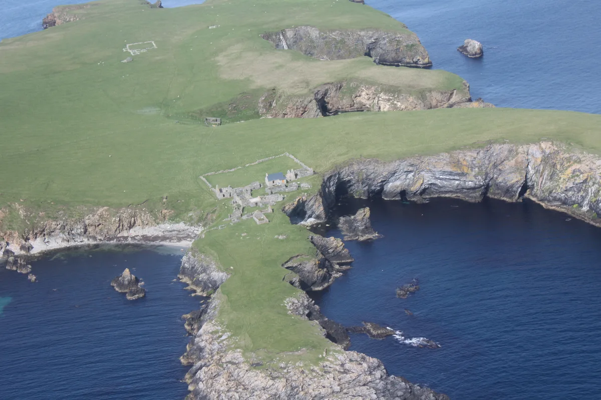
South Havra
South Havra — uninhabited island in the Scalloway Islands, Shetland, Scotland.
📷 2Windmills · Scottish Islands
Ruined windmill
Ruined windmill — a windmill in Scottish Islands, United Kingdom.
📷 5Where to eat & stay near May Wick
Places to stay
 📷 5
📷 5Campsites · Scottish Islands
Levenwick Campsite
Levenwick Campsite — a campsite in scotland islands.
 📷 5
📷 5Caravan parks · Scottish Islands
Cunningsburgh Touring Park
Cunningsburgh Touring Park — a caravan park in scotland islands.
 📷 5
📷 5Hostels · Scottish Islands
Betty Mouat's Camping Böd
Betty Mouat's Camping Böd — a hostel in scotland islands.
 📷 5
📷 5Caravan parks · Scottish Islands
Scalloway Caravan Park
Scalloway Caravan Park — a caravan park in scotland islands.
 📷 5
📷 5Hostels · Scottish Islands
Islesburgh House Hostel
Islesburgh House Hostel — a hostel in scotland islands.
Caravan parks · Scottish Islands
Bressay Marina & Caravan Park
Bressay Marina & Caravan Park — a caravan park in scotland islands.
Places to eat & drink
 📷 7
📷 7Historic pubs · Scottish Islands
86 Commercial Street, Lerwick
86 Commercial Street, Lerwick in England South East, United Kingdom.
More natural landmarks in this region
 📷 3
📷 3Natural landmarks · Scottish Islands
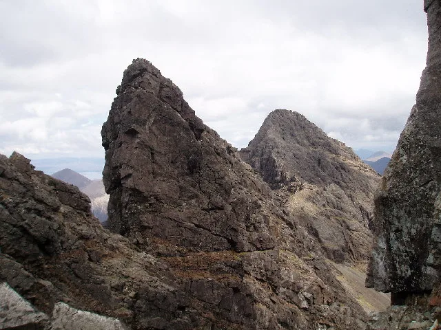
Am Basteir
Am Basteir — 934m high mountain in Highland, Scotland, UK.
 📷 3
📷 3Natural landmarks · Scottish Islands
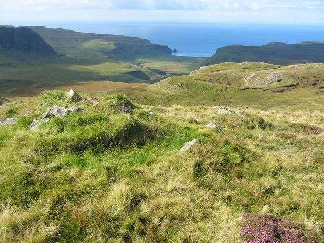
Arnaval
Arnaval — mountain on the Isle of Skye, in Highland, Scotland, UK.
 📷 5
📷 5Natural landmarks · Scottish Islands
Askival
Askival — 812m high mountain in Highland, Scotland, UK.
 📷 5
📷 5Natural landmarks · Scottish Islands
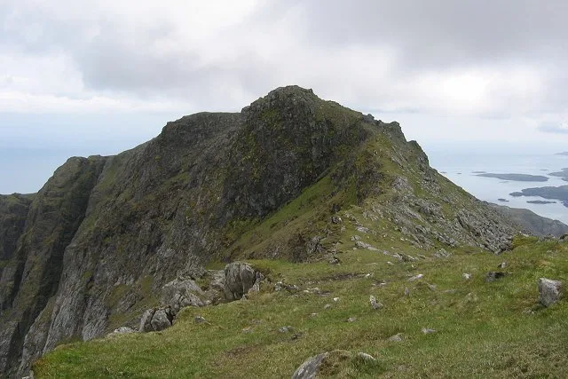
Beinn Mhòr
Beinn Mhòr — 620m high mountain on South Uist, Outer Hebrides, Scotland, UK.
Frequently asked questions
- Where is May Wick?
- May Wick is in the Scottish Islands, United Kingdom.
- What is May Wick?
- May Wick — a natural feature in scotland islands.
- How do I get to May Wick?
- The nearest town is Hamnavoe. Its coordinates are 60.0167°, -1.3167°.