
Historic houses · North West England
Mawdesley Hall
In or near Wrightington Bar.
Mawdesley Hall — Grade I listed building in Mawdesley, Chorley, Lancashire, England, UK.

Wikimedia Commons contributors — see linked file page for photographer and licence licence

Plan your visit
- Typical visit
- 1 h–2 h
- Nearest railway station
- Rufford · 3.1 km
- Family-friendly
- Limited wheelchair access
Getting there & planning your visit
To visit Mawdesley Hall, the nearest railway station is Rufford, located 3.1 km away. The postcode for sat-nav is L40 2QY. Accessibility is limited for wheelchair users.
About
Mawdesley Hall is a historic house in the United Kingdom — typically a country seat, manor, or town house with notable architecture or history. Heritage designation: Grade I listed building. Wikidata describes it as: "Grade I listed building in Mawdesley, Chorley, Lancashire, England, UK". Coordinates: 53.6301°, -2.7611°.
Photo gallery
From the Wikipedia article
Mawdesley Hall is a country manor in Hall Lane, Mawdesley, Chorley, Lancashire, England. It consists of a central hall with two cross-wings. The central hall was built in the 17th century, its lower storey being timber-framed and its upper floor plastered and painted to resemble timber-framing. The cross-wings were added in the late 18th or early 19th century. The west wing is in sandstone, and the east wing is in brick with stone dressings. The hall is recorded in the National Heritage List for England as a designated Grade I listed building. Associated with the hall are two Grade II listed buildings. Leading up to the garden of the hall is a flight of stone steps that are dated 1653. To the northwest of the hall is a timber-framed former cattle house that was built in the late 16th or early 17th century.
Excerpt from Wikipedia under CC BY-SA 4.0. See the source article linked in Sources below.
Background
History
The original part of the hall was built in the 17th century and was the home of the Mawdesley family. Towards the end of the 18th or the beginning of the 19th century wings were added to each end of the original hall. Later a lean-to building was added to the rear of the hall.
Architecture
The building is in two storeys, and has an H-shaped plan, consisting of a two-bay central hall, with two two-bay cross-wings. The roof is covered in stone-coloured tiles, and is hipped over the fronts of the wings. Each part of the house is built in different materials. The central hall measures about 30 ft across. Its lower storey is timber-framed with plaster panels on a stone plinth. The upper floor is jettied and is plastered, and is painted to give the appearance of timber-framing. Towards the right end of the lower storey is a doorway and to the left of this is a long mullioned and transomed window. In the upper floor are three casement windows that were inserted later. The left…
Sourced from Wikipedia under CC BY-SA 4.0.
- Coordinates
- 53.6301, -2.7611
- County
- Lancashire
- District
- Chorley
- Parish
- Mawdesley
- Postcode
- L40 2QY
- Parliamentary constituency
- South Ribble
- Nearest railway station
- Rufford — 3.1 km
- Official site
- mawdesley.u3asite.uk
Sources
- wikidata: Q17530441 (CC0)
- wikipedia: Mawdesley Hall (CC BY-SA 4.0)
- commons: Mawdesley Hall, Lancashire.jpg (CC BY-SA 4.0)
Other places nearby

Mawdesley
Villages · 0.5 km
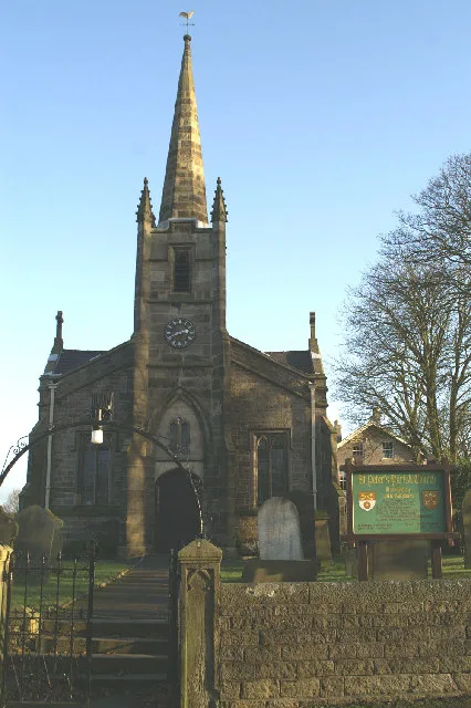
St Peter's Church, Mawdesley
Historic churches · 1.1 km

Cedar Farm
Farms (open to visitors) · 1.1 km

Windmill (dis.)
Windmills · 2.3 km

Charity Farm Caravan & Camping Park
Campsites · 2.7 km

Croston Mill Bridge
Historic bridges · 2.8 km
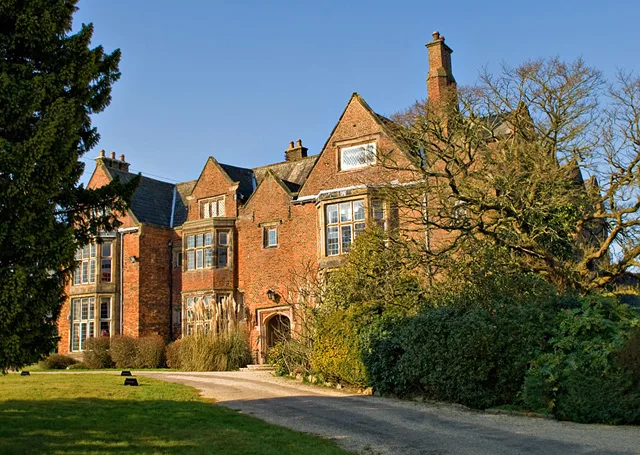
Heskin Hall
Stately homes · 2.9 km

Eccleston
Villages · 2.9 km

Harrock Hill
Mountains & hills · 3.0 km

Eccleston Bridge
Historic bridges · 3.2 km
Ecclestone Bridge
Historic bridges · 3.2 km
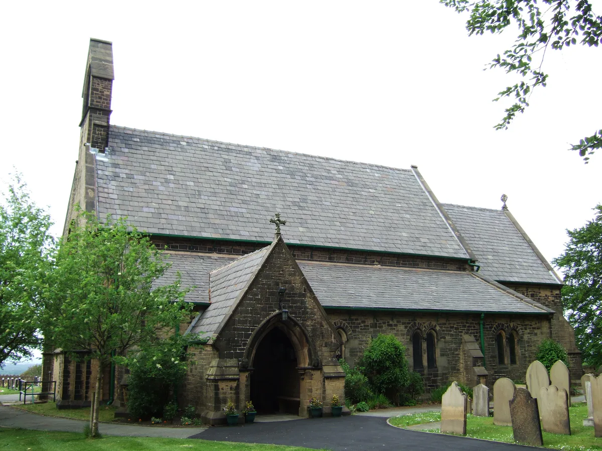
St James' Church, Wrightington Bar
Historic churches · 3.2 km
Nearby
📷 5📷 3Historic churches · North West England
St Peter's Church, Mawdesley
St Peter's Church, Mawdesley — grade II listed church in Mawdesley, Chorley, Lancashire, England, UK.
📷 3Farms (open to visitors) · North West England
Cedar Farm
Cedar Farm — a place in North West England, United Kingdom.
📷 3Windmills · North West England
Windmill (dis.)
Windmill (dis.) — a windmill in North West England, United Kingdom.
📷 5Campsites · North West England
Charity Farm Caravan & Camping Park
Charity Farm Caravan & Camping Park — a campsite in england north west.
📷 3Historic bridges · North West England
Croston Mill Bridge
Croston Mill Bridge is a historic bridge in the United Kingdom.
Where to eat & stay near Mawdesley Hall
Places to stay
📷 5Campsites · North West England
Charity Farm Caravan & Camping Park
Charity Farm Caravan & Camping Park — a campsite in england north west.
 📷 5
📷 5 📷 5
📷 5Campsites · North West England
Merseyside Scouts County HQ
Merseyside Scouts County HQ — a campsite in england north west.
 📷 5
📷 5Campsites · North West England
Tawd Vale Scout Camp
Tawd Vale Scout Camp — a campsite in england north west.
 📷 5
📷 5Campsites · North West England
Longfold Farm Campsite
Longfold Farm Campsite — a campsite in england north west.
 📷 5
📷 5Caravan parks · North West England
Woodlands Caravan Park Southport
Woodlands Caravan Park Southport — a caravan park in england north west.
Places to eat & drink
 📷 5
📷 5Historic pubs · North West England
The Old Toby Public House
The Old Toby Public House in England North West, United Kingdom.
 📷 7
📷 7Historic pubs · North West England
Eagle And Child Inn
Eagle And Child Inn in England North West, United Kingdom.
 📷 5
📷 5Historic pubs · North West England
Bradley Hall Public House
Bradley Hall Public House in England North West, United Kingdom.
 📷 5
📷 5 📷 7📷 5
More historic houses in this region
 📷 3
📷 3Historic houses · North West England
116 Hospital Street, Nantwich
116 Hospital Street, Nantwich — substantial townhouse in Nantwich, Cheshire, England, UK.
 📷 3
📷 3Historic houses · North West England
140–142 Hospital Street, Nantwich
140–142 Hospital Street, Nantwich — grade II listed building in Nantwich, Cheshire East, Cheshire, England, UK.
 📷 3
📷 3Historic houses · North West England
46 High Street, Nantwich
46 High Street, Nantwich — house in Nantwich, Cheshire, England, UK.
 📷 3
📷 3Historic houses · North West England
64, St Ann's Road
64, St Ann's Road — Grade II* listed house in Middlewich, Cheshire East, England, UK.
Frequently asked questions
- Where is Mawdesley Hall?
- Mawdesley Hall is in Lancashire, North-West England, United Kingdom (postcode L40 2QY), in the parish of Mawdesley.
- What is Mawdesley Hall?
- Mawdesley Hall — Grade I listed building in Mawdesley, Chorley, Lancashire, England, UK.
- How do I get to Mawdesley Hall?
- The nearest railway station is Rufford, about 3.1 km away. The nearest town is Wrightington Bar. Drivers can use postcode L40 2QY.
- Who owns Mawdesley Hall?
- Mawdesley Hall is owned by | designation1 = Grade I.
- Is Mawdesley Hall a listed building?
- Mawdesley Hall is officially recognised as Grade I listed building listed.
- How do I get to Mawdesley Hall?
- The nearest railway station is Rufford, about 3.1 km away. Drivers can navigate to postcode L40 2QY.