
Wildlife reserves · North West England
Marshside RSPB reserve
Marshside RSPB reserve — nature reserve in Southport, Merseyside, England.

Wikimedia Commons contributors — see linked file page for photographer and licence licence

Plan your visit
- Typical visit
- 2 h–4 h
- Best time of year
- Autumn & winter (migration & wildfowl)
- Nearest railway station
- Southport Marine Parade · 3.4 km
- Free entry
- Dog-friendly
Getting there & planning your visit
To visit Marshside RSPB reserve, the nearest railway station is Southport Marine Parade, located 3.4 km away. Entry to the reserve is free, and the postcode for sat-nav is PR9 9PJ.
About
Marshside RSPB reserve is a wildlife reserve in the United Kingdom. Managed by Royal Society for the Protection of Birds. Wikidata describes it as: "nature reserve in Southport, Merseyside, England". Coordinates: 53.6769°, -2.9809°.
Photo gallery
See it from the streetimagery from 2020
Imagery © Mapillary contributors, CC BY-SA 4.0
Summary from the official site
Marshside RSPB reserve is a wetland site near Southport, known for its diverse wildlife and birdwatching opportunities throughout the year. Visitors can explore three trails that lead through saltmarshes and pools, offering views of various bird species, including nesting birds in summer and migratory flocks in winter.
Read more on the official property page.
Protected designations
- Site of Special Scientific Interest: Ribble Estuary SSSI
- National Nature Reserve: RIBBLE ESTUARY
- Ramsar wetland: Ribble & Alt Estuaries
Designations sourced from Natural England open data under OGL v3.
From the Wikipedia article
Marshside is a wetland nature reserve operated by the RSPB in the Marshside area of Southport, Merseyside, England. It lies 2 kilometres (1.2 mi) north of the centre of Southport, on the southern side of the Ribble estuary, and is part of the wider Ribble & Alt Estuaries Ramsar reserve. and the Ribble Estuary National Nature Reserve. The RSPB reserve has two bird hides, the northernmost - named "Sandgrousers' Hide" - serving as a visitor centre. There are also three viewing screens. The reserve is used by large numbers of overwintering pink footed geese, from Iceland, and wigeon, from Siberia. In summer, species such as avocets and lapwing breed there. in 2019, the RSPB acquired an adjacent area of wet grassland, Crossens Inner Marsh, in order to extend the reserve.
Excerpt from Wikipedia under CC BY-SA 4.0. See the source article linked in Sources below.
- Coordinates
- 53.6769, -2.9809
- District
- Sefton
- Parish
- Sefton, unparished area
- Postcode
- PR9 9PJ
- Parliamentary constituency
- Southport
- Phone
- 01704 211690
- Nearest railway station
- Southport Marine Parade — 3.4 km
- Opening
- Daily 8.30am–4pm (1 Nov–1 Mar); Daily 8.30am–5pm (2 Mar–31 Oct)
- Official site
- www.rspb.org.uk
Sources
- wikidata: Q70485385 (CC0)
- wikipedia: Marshside RSPB reserve (CC BY-SA 4.0)
- commons: Marshside, Southport - geograph.org.uk - 25506.jpg (CC BY-SA 4.0)
Other places nearby

Southport Botanic Gardens
Botanic gardens · 2.2 km

Southport Botanic Gardens
Museums · 2.2 km
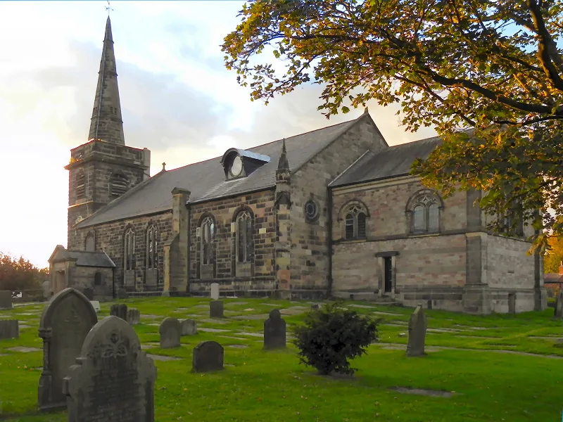
St Cuthbert's Church, Churchtown
Historic churches · 2.2 km

Crossens
Villages · 2.2 km

Fernley Observatory
Observatories · 2.2 km

Obelisk On Small Green Approximately 50 Metres South Of Church Of St Cuthbert
Forts · 2.3 km
Claude's of Churchtown
Cafés · 2.3 km

Botanic Gardens Aviary
Zoos & aquariums · 2.3 km

Old Southport tram terminus
Historic houses · 2.3 km
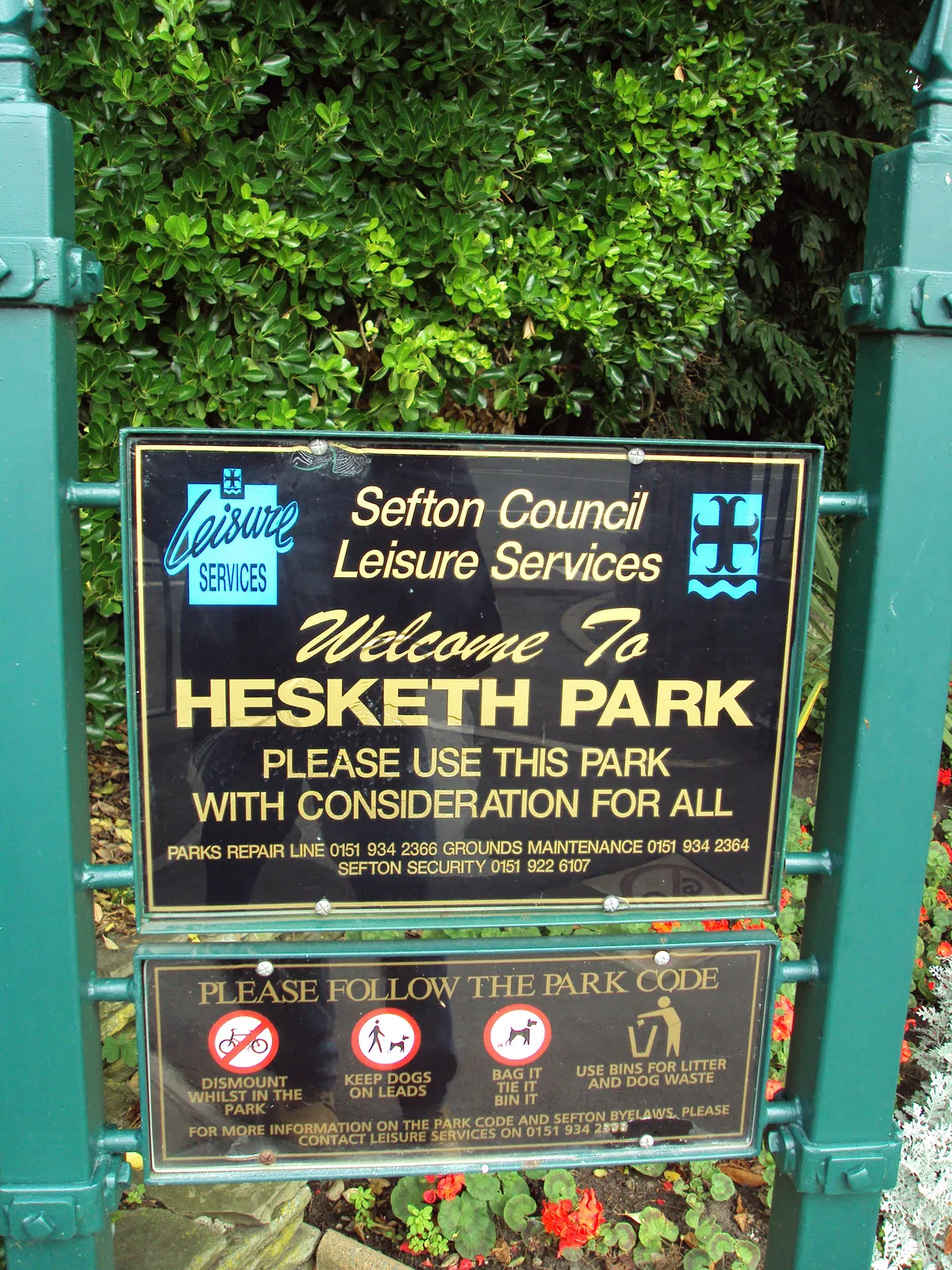
Hesketh Park, Southport
Parks · 2.4 km
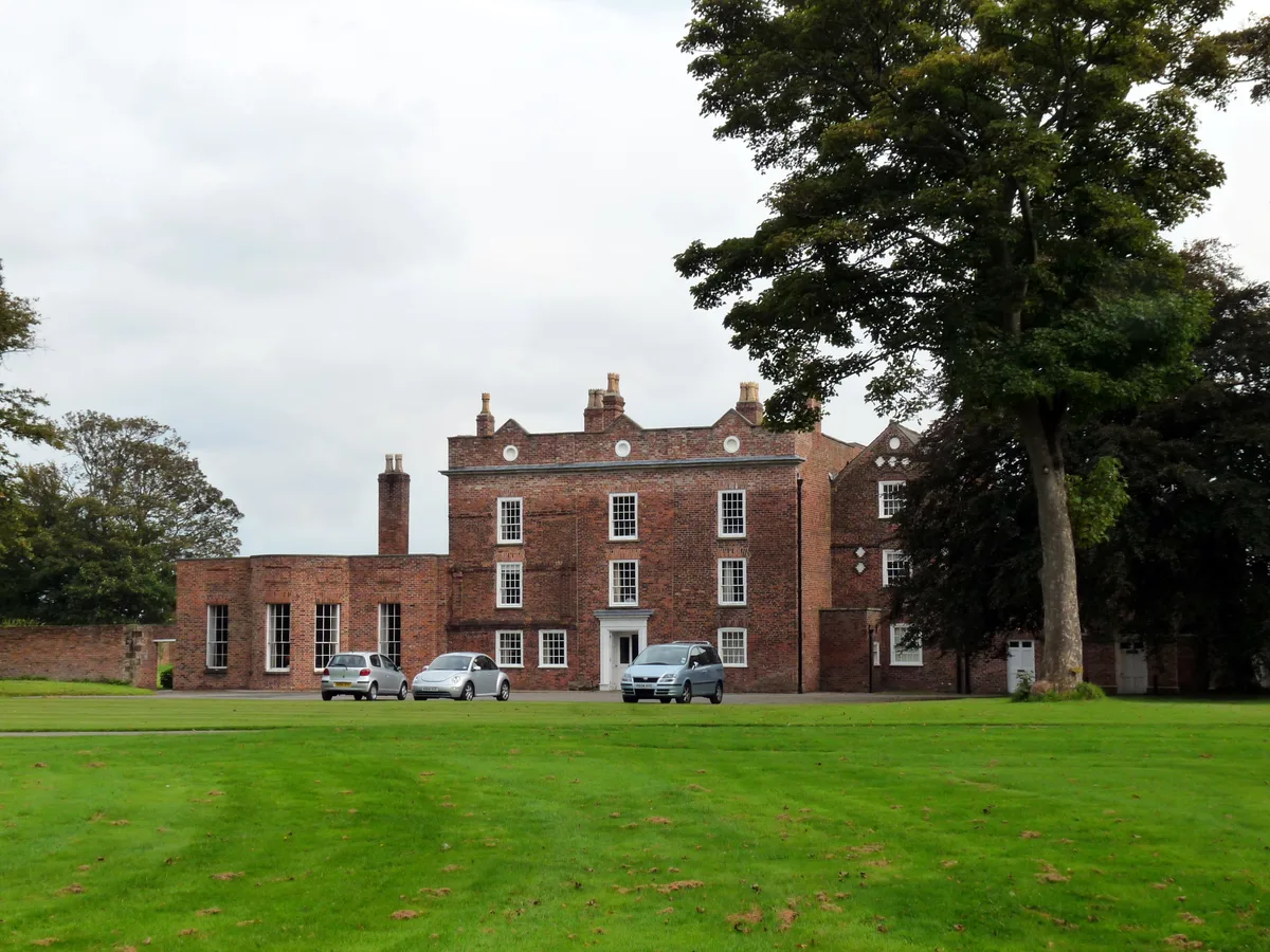
Meols Hall
Stately homes · 2.5 km

Grand/Casino
Theatres · 3.1 km
Nearby
📷 5Botanic gardens · North West England
Southport Botanic Gardens
Southport Botanic Gardens — a botanic garden in england north west.
📷 5Museums · North West England
Southport Botanic Gardens
Southport Botanic Gardens — a museum in england-north-west, United Kingdom.
📷 3Historic churches · North West England
St Cuthbert's Church, Churchtown
St Cuthbert's Church, Churchtown — grade II listed church in Churchtown, Merseyside, England, UK.
📷 5📷 3Observatories · North West England
Fernley Observatory
Fernley Observatory — an observatory in North West England, United Kingdom.
📷 5Forts · North West England
Obelisk On Small Green Approximately 50 Metres South Of Church Of St Cuthbert
Obelisk On Small Green Approximately 50 Metres South Of Church Of St Cuthbert — a martello broad in england-north-west, United Kingdom.
Where to eat & stay near Marshside RSPB reserve
Places to stay
 📷 5
📷 5 📷 5
📷 5Caravan parks · North West England
Southport Caravan Club Site
Southport Caravan Club Site — a caravan park in england north west.
 📷 5
📷 5Campsites · North West England
Century House Camp Site
Century House Camp Site — a campsite in england north west.
 📷 5
📷 5Caravan parks · North West England
Woodlands Caravan Park Southport
Woodlands Caravan Park Southport — a caravan park in england north west.
 📷 5
📷 5Caravan parks · North West England
Old Manor Farm Campsite
Old Manor Farm Campsite — a caravan park in england north west.
 📷 5
📷 5Places to eat & drink
📷 7Cafés · North West England
Claude's of Churchtown
Claude's of Churchtown — a café in england north west.
 📷 5
📷 5Historic pubs · North West England
The Railway Hotel
The Railway Hotel in England North West, United Kingdom.
 📷 7
📷 7Historic pubs · North West England
Buck I' Th' Vine Inn
Buck I' Th' Vine Inn in England North West, United Kingdom.
 📷 7
📷 7Historic pubs · North West England
The Windmill Public House
The Windmill Public House in England North West, United Kingdom.
 📷 5
📷 5Historic pubs · North West England
The Old Toby Public House
The Old Toby Public House in England North West, United Kingdom.
 📷 7
📷 7Historic pubs · North West England
Eagle And Child Inn
Eagle And Child Inn in England North West, United Kingdom.
More places run by Royal Society for the Protection of Birds
 📷 5
📷 5Hill forts · South East England
Shornemead Fort
Shornemead Fort — fort in Shorne, Kent, England, UK.
 📷 5
📷 5Wildlife reserves · South East England
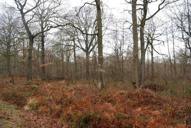
Amberley Wild Brooks
Amberley Wild Brooks — nature reserve in the United Kingdom.
 📷 5
📷 5Wildlife reserves · South East England
Blean Woods RSPB Reserve
Blean Woods RSPB Reserve — RSPB nature reserve in the United Kingdom.
 📷 5
📷 5Wildlife reserves · South East England
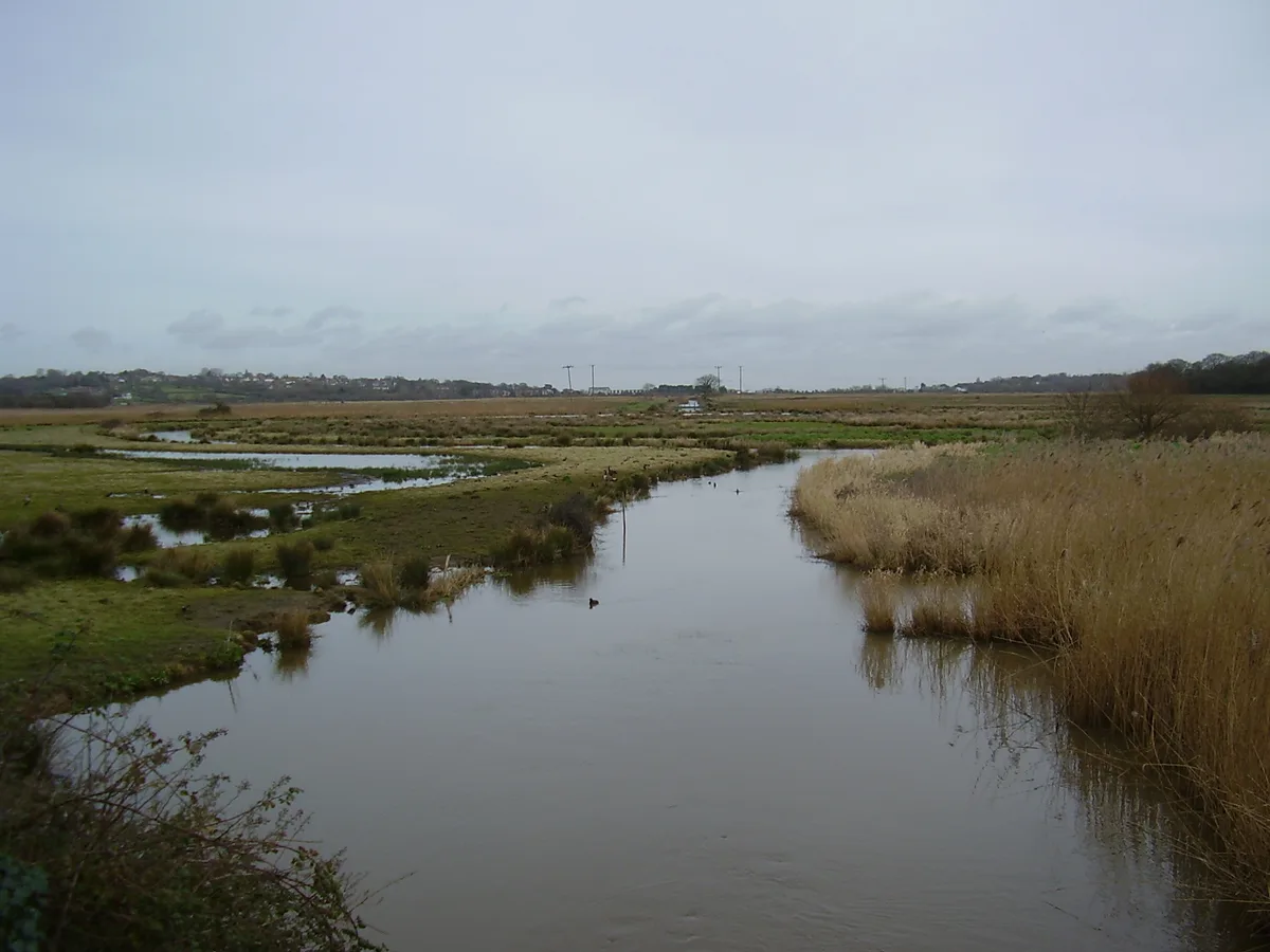
Brading Marshes RSPB reserve
Brading Marshes RSPB reserve — RSPB nature reserve on the Isle of Wight.
More places in this region
 📷 3
📷 3Wildlife reserves · North West England
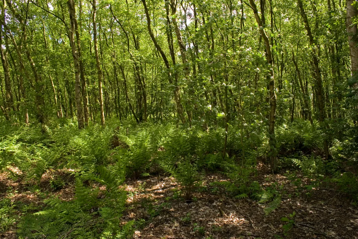
Birch Moss Covert Nature Reserve
Birch Moss Covert Nature Reserve is a wildlife reserve in the United Kingdom.
 📷 3
📷 3Wildlife reserves · North West England
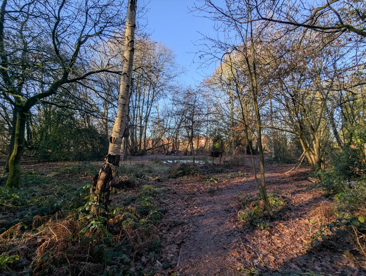
Black Firs Wood Nature Reserve
Black Firs Wood Nature Reserve is a wildlife reserve in the United Kingdom.
 📷 3
📷 3Wildlife reserves · North West England
Black Moss Covert Nature Reserve
Black Moss Covert Nature Reserve — nature reserve in Greater Manchester, England.
 📷 3
📷 3Wildlife reserves · North West England
Brookheys Covert Nature Reserve
Brookheys Covert Nature Reserve is a wildlife reserve in the United Kingdom.
Frequently asked questions
- Where is Marshside RSPB reserve?
- Marshside RSPB reserve is in North-West England, United Kingdom (postcode PR9 9PJ), in the parish of Sefton, unparished area.
- What is Marshside RSPB reserve?
- Marshside RSPB reserve — nature reserve in Southport, Merseyside, England.
- How do I get to Marshside RSPB reserve?
- The nearest railway station is Southport Marine Parade, about 3.4 km away. Drivers can use postcode PR9 9PJ.
- Who owns Marshside RSPB reserve?
- Marshside RSPB reserve is owned by | administrator = and operated by Royal Society for the Protection of Birds.
- Is Marshside RSPB reserve a protected site?
- Yes — Marshside RSPB reserve is part of the Ribble Estuary SSSI Site of Special Scientific Interest and the RIBBLE ESTUARY National Nature Reserve.
- Is Marshside RSPB reserve free to visit?
- Yes, Marshside RSPB reserve is free to enter.
- How do I get to Marshside RSPB reserve?
- The nearest railway station is Southport Marine Parade, about 3.4 km away. Drivers can navigate to postcode PR9 9PJ.
- Are dogs allowed at Marshside RSPB reserve?
- Most wildlife reserves allow dogs on lead only, with restrictions during ground-nesting bird season (March-July). Check signage at the reserve.