Castles · North East England
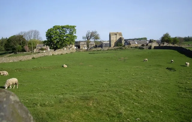
Maiden Way
In or near Alston.
Maiden Way in England North East, United Kingdom.

Roger Morris — CC BY-SA 2.0 via Wikimedia Commons licence
Plan your visit
- Typical visit
- 1.5 h–3 h
- Nearest railway station
- Kirkhaugh · 0.9 km
- Free entry
- Family-friendly
- Limited wheelchair access
Getting there & planning your visit
To visit Maiden Way, the nearest railway station is Kirkhaugh, located 0.9 km away. The postcode for sat-nav is CA9 3BG. Accessibility is limited for wheelchair users.
About
Maiden Way is a place of interest in England North East, United Kingdom — drawn from open-data sources for visitor reference. See the linked Wikipedia article for the full description.
Photo gallery
Official information
Epiacum, also known as Whitley Castle, is a Roman fort located near Alston in the North Pennines. Visitors can explore the historical site and enjoy the surrounding walks without any admission fee.
Protected designations
- Site of Special Scientific Interest: River Eden and Tributaries SSSI
- Area of Outstanding Natural Beauty: North Pennines
Designations sourced from Natural England open data under OGL v3.
From the Wikipedia article
The Maiden Way or Maidenway (Middle English: Maydengathe; Medieval Latin: Via Puellarum) was a roughly 20-mile (32 km) Roman road in northern Britain connecting the Roman fort of Bravoniacum (Kirkby Thore) near Penrith with that of Magnis (Carvoran) on Hadrian's Wall, via the intermediate fort of Epiacum (also known as Whitley Castle) roughly half-way between the two. William Bainbridge wrote an early paper on the road, in Archaeologia Aeliana; Account of the Roman Road, called the Maiden Way (1851). In 2016, it was reported that investigations using LIDAR technology by the Environment Agency for the purposes of flood mapping and other environmental management were providing extensive data showing the existence of underground archaeological features including Roman roads. This included a continuation of the Maiden Way southwards from Kirkby Thore to the Roman fort at Low Borrowbridge near Tebay. Bravoniacum was a waypoint on the northern leg of the Roman road connecting Luguvalium (Carlisle) with Eboracum (York) and points south. Magnis was one of the waypoints on the Stanegate beside Hadrian's Wall. As such, the Maiden Way served as a shortcut for supplying the central and eastern areas of the Wall. It also provided supplies to the lead and silver mines near Epiacum (Whitley Castle). The Maiden Way was sometimes considered also to have run east along the Stanegate to Banna (Birdoswald), then 7 miles (11 km) north to Bewcastle Roman Fort, and thence to Liddesdale, but the zig-zag identity of this course as a single road is problematic. Following the end of Roman rule in Britain, the Maiden Way was used as a drovers' road. The route was probably named after the Maiden Castle fortlet guarding the Stainmore Pass to the east of the fort of Verterae (Brough). The Pennine Way footpath follows the line of the Maiden Way for several miles on a roughly north-south route across Lambley Common in Northumberland, above the west bank of the river South Tyne. Immediately north…
Excerpt from Wikipedia under CC BY-SA 4.0. See the source article linked in Sources below.
- Coordinates
- 54.8320, -2.4741
- District
- Northumberland
- Parish
- Knaresdale with Kirkhaugh
- Postcode
- CA9 3BG
- Parliamentary constituency
- Hexham
- Nearest railway station
- Kirkhaugh — 0.9 km
- Official site
- www.epiacumheritage.org
Sources
- wikidata: Q19581111 (CC0)
- wikipedia: Maiden Way (CC BY-SA 4.0)
Featured in this guide
Other places nearby
Whitley Castle
Castles · 0.2 km

Gilderdale Bridge
Historic bridges · 0.6 km

Kirkhaugh Bridge abutments 1/2 mile (800m) NE of Whitley Castle
Historic bridges · 0.7 km

Gilderdale Viaduct
Historic bridges · 0.7 km

Gilderdale Halt railway station
Heritage railway stations · 0.8 km

Kirkhaugh Halt railway station
Heritage railway stations · 0.9 km

Little Heaplaw
Mountains & hills · 1.0 km

Great Heaplaw
Mountains & hills · 1.2 km

Kirkhaugh
Other places · 1.2 km

Black Hill
Mountains & hills · 2.0 km

Ayle
Other places · 2.1 km

South Tyne Trail
Mountain bike trails · 2.1 km
Nearby
📷 3Castles · North East England
Whitley Castle
Whitley Castle in England North East, United Kingdom.
📷 3Historic bridges · North East England
Gilderdale Bridge
Gilderdale Bridge — Grade II listed building-listed bridge in scotland-lowlands, United Kingdom.
📷 3Historic bridges · North East England
Kirkhaugh Bridge abutments 1/2 mile (800m) NE of Whitley Castle
Kirkhaugh Bridge abutments 1/2 mile (800m) NE of Whitley Castle — scheduled monument-listed bridge in scotland-lowlands, United Kingdom.
📷 3Historic bridges · North East England
Gilderdale Viaduct
Gilderdale Viaduct is a historic bridge in the United Kingdom.
📷 3Heritage railway stations · North East England
Gilderdale Halt railway station
Gilderdale Halt railway station in England North East, United Kingdom.
📷 4Heritage railway stations · North East England
Kirkhaugh Halt railway station
Kirkhaugh Halt railway station in England North East, United Kingdom.
Where to eat & stay near Maiden Way
Places to stay
 📷 5
📷 5 📷 7
📷 7B&Bs · North East England
Lowbyer Manor Country House
Lowbyer Manor Country House — a bed-and-breakfast in scotland lowlands.
 📷 5
📷 5 📷 5📷 5
 📷 5
📷 5Caravan parks · North East England
Fell View Lake House Caravan Park
Fell View Lake House Caravan Park — a caravan park in scotland lowlands.
Places to eat & drink
 📷 5
📷 5 📷 4
📷 4Historic pubs · North West England
Hallbankgate
Hallbankgate in England North East, United Kingdom.
 📷 5
📷 5Historic pubs · North West England
Graham Arms (West Of Gelt Bridge)
Graham Arms (West Of Gelt Bridge) in Scotland Lowlands, United Kingdom.
 📷 3
📷 3 📷 7
📷 7Historic pubs · North East England
Anchor Hotel
Anchor Hotel in Scotland Lowlands, United Kingdom.
 📷 4
📷 4More castles in this region
 📷 3
📷 3Castles · North East England
Scargill Castle
Scargill Castle — house in Scargill, County Durham, England, UK.
 📷 3
📷 3Castles · North East England
Roper Castle or Round Table (Roman Signal Station)
Roper Castle or Round Table (Roman Signal Station) — a castle in england-north-west, United Kingdom.
 📷 5
📷 5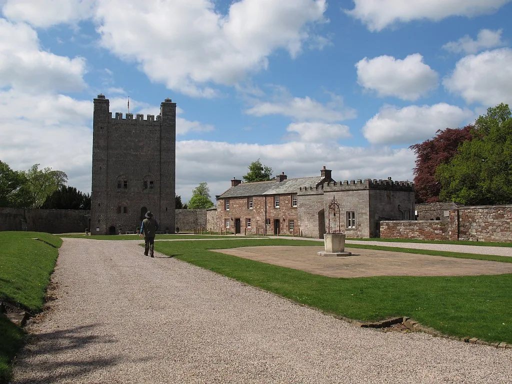 📷 5
📷 5Castles · North East England
Appleby Castle
Appleby Castle — Grade I listed English country house in Appleby-in-Westmorland, United Kingdom.
Frequently asked questions
- Where is Maiden Way?
- Maiden Way is in North-East England, United Kingdom (postcode CA9 3BG), in the parish of Knaresdale with Kirkhaugh.
- What is Maiden Way?
- Maiden Way in England North East, United Kingdom.
- How do I get to Maiden Way?
- The nearest railway station is Kirkhaugh, about 0.9 km away. Drivers can use postcode CA9 3BG.
- Is Maiden Way a protected site?
- Yes — Maiden Way is part of the River Eden and Tributaries SSSI Site of Special Scientific Interest and the North Pennines National Landscape (AONB).
- Does Maiden Way charge admission?
- Maiden Way typically charges admission. Check the official site for current ticket prices and opening hours.
- How do I get to Maiden Way?
- The nearest railway station is Kirkhaugh, about 0.9 km away. Drivers can navigate to postcode CA9 3BG.