
Hill forts · West Midlands
Magnae Dobunnorum
In or near Credenhill.
Magnae Dobunnorum — Romano-British town and archaeological site.

Wikimedia Commons contributors — see linked file page for photographer and licence licence

Plan your visit
- Typical visit
- 1 h–2 h
- Nearest railway station
- Broomy Hill · 6.7 km
- Free entry
- Dog-friendly
Getting there & planning your visit
To visit Magnae Dobunnorum, the nearest railway station is Broomy Hill, which is approximately 6.7 km away. The postcode for navigation is HR4 7EZ. Entry to the site is free.
About
Magnae Dobunnorum is a hill fort in the United Kingdom. Wikidata describes it as: "Romano-British town and archaeological site". Coordinates: 52.0810°, -2.8180°.
Photo gallery
Official information
Magnae Dobunnorum is a historic site that has been integrated into the Historic Environment Record. It is part of a project aimed at consolidating historical records and removing duplication.
Protected designations
- Site of Special Scientific Interest: River Lugg SSSI
- Site of Special Scientific Interest: River Wye SSSI
Designations sourced from Natural England open data under OGL v3.
From the Wikipedia article
Magnae, sometimes Magnae Dobunnorum (Latin for "The Greats of the Dobunni") to distinguish it from the Magnae of the Carvetii on Hadrian's Wall in northern Britain, was a Romano-British town and an important market centre for the British Dobunni tribe, located near modern-day Kenchester in Herefordshire, England. The town was shaped as an irregular hexagon, with a single main street along the line of the main Roman Road running east–west through the area, and an irregular pattern of side streets with tightly packed buildings leading off it.
Excerpt from Wikipedia under CC BY-SA 4.0. See the source article linked in Sources below.
Background
History
The ruins of a Roman private bath house or temple that was possibly associated with a high-status Roman villa, which may have connections to Magnis, lie inside the Weir Garden by the River Wye. There is an octagonal cistern filled by a spring, and a ruined buttress by the river. These are the highest standing Roman ruins in Herefordshire. Earthen defences have been found dating from the 2nd century, with later stone defences being built by the 4th century and occupation likely to have continued into the 5th century. Sometime after the Battle of Deorham in 577 the town had become the base of the Mercian subkingdom of the Magonsaete ("Magon-dwellers").
Sourced from Wikipedia under CC BY-SA 4.0.
- Coordinates
- 52.0810, -2.8180
- District
- Herefordshire, County of
- Parish
- Kenchester
- Postcode
- HR4 7EZ
- Parliamentary constituency
- Hereford and South Herefordshire
- Nearest railway station
- Broomy Hill — 6.7 km
- Official site
- www.pastscape.org.uk
Sources
- wikidata: Q1884474 (CC0)
- wikipedia: Magnis (Kenchester) (CC BY-SA 4.0)
- commons: Roman Road crosses the Wye, near Kenchester - geograph.org.uk - 25275.jpg (CC BY-SA 4.0)
Other places nearby

Magnis
Archaeological sites · 0.0 km

Kenchester
Historic churches · 0.3 km

Credenhill railway station
Heritage railway stations · 0.5 km
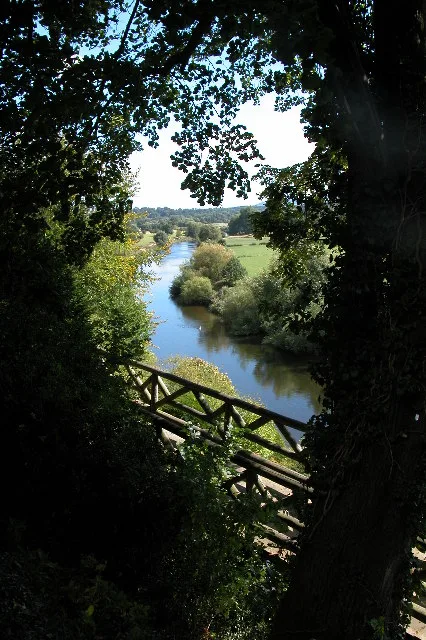
The Weir Garden
Gardens · 1.0 km

Credenhill War Memorial
Memorials & monuments · 1.3 km
.jpg?width=1200)
Credenhill
Towns & cities · 1.4 km

SAS Memorial Clocktower
Memorials & monuments · 1.5 km

Credenhill
Mountains & hills · 1.9 km

Brinsop
Other places · 1.9 km

Credenhill Camp
Vineyards · 2.1 km

Stretton Sugwas War Memorial
Memorials & monuments · 2.1 km

Credenhill Camp
Archaeological sites · 2.1 km
Nearby
📷 3Archaeological sites · West Midlands
Magnis
Magnis — a archaeological in wales-mid, United Kingdom.
📷 4Historic churches · West Midlands
Kenchester
Kenchester in Wales Mid, United Kingdom.
📷 4Heritage railway stations · West Midlands
Credenhill railway station
Credenhill railway station in Wales Mid, United Kingdom.
📷 5Gardens · West Midlands
The Weir Garden
The Weir Garden — National Trust property in Herefordshire, England.
📷 3Memorials & monuments · West Midlands
Credenhill War Memorial
Credenhill War Memorial — Grade II listed building-listed memorial in wales-mid, United Kingdom.
📷 3Where to eat & stay near Magnae Dobunnorum
Places to stay
 📷 5
📷 5Caravan parks · West Midlands
Moorhampton Caravan & Motorhome Club Park
Moorhampton Caravan & Motorhome Club Park — a caravan park in wales mid.
 📷 5
📷 5 📷 5
📷 5Campsites · West Midlands
Cuckoo's Corner Caravan Site
Cuckoo's Corner Caravan Site — a campsite in wales mid.
 📷 5
📷 5Hotels · West Midlands
The Green Dragon
The Green Dragon — a hotel in wales mid.
 📷 5
📷 5 📷 5
📷 5Places to eat & drink
 📷 5
📷 5Historic pubs · West Midlands
Oxford Arms Inn
Oxford Arms Inn in England West Midlands, United Kingdom.
 📷 5
📷 5Historic pubs · West Midlands
Black Lion Inn
Black Lion Inn in England West Midlands, United Kingdom.
 📷 5
📷 5Historic pubs · West Midlands
The Grapes Tavern
The Grapes Tavern in England West Midlands, United Kingdom.
 📷 5
📷 5Historic pubs · West Midlands
Spread Eagle Inn
Spread Eagle Inn in England West Midlands, United Kingdom.
 📷 5
📷 5Historic pubs · West Midlands
The Crown And Anchor Inn
The Crown And Anchor Inn in England West Midlands, United Kingdom.
 📷 5
📷 5More places in this region
 📷 3
📷 3Hill forts · West Midlands
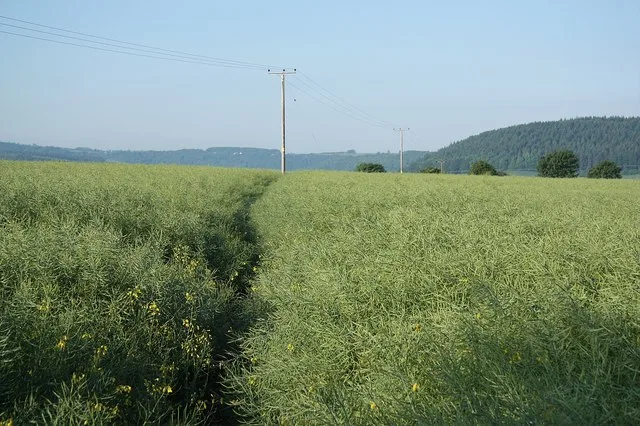
Ariconium
Ariconium — Ariconium was a road station of Roman Britain mentioned in Iter XIII of the Iter Britanniarum of the Antonine Itineraries. It was located at Bury Hill.
 📷 5
📷 5Hill forts · West Midlands
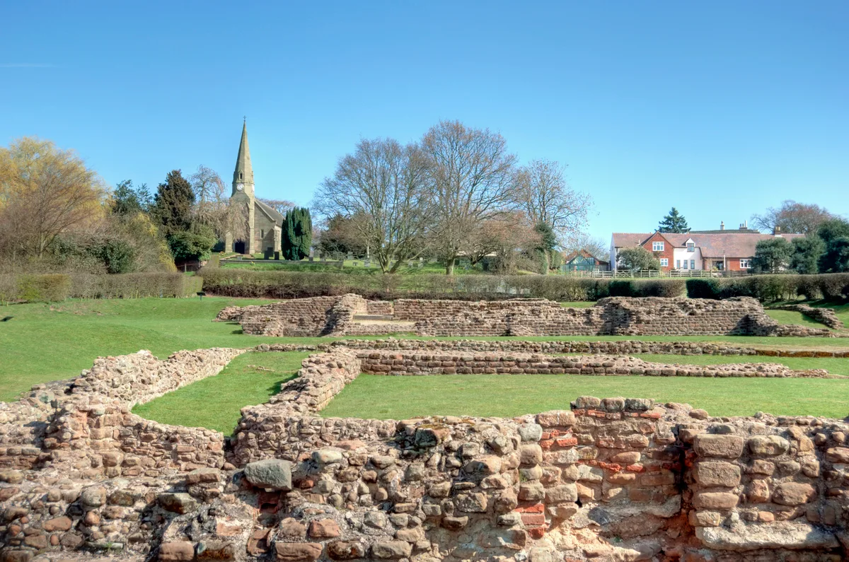
Letocetum
Letocetum is a hill fort in the United Kingdom.
 📷 3
📷 3Hill forts · West Midlands
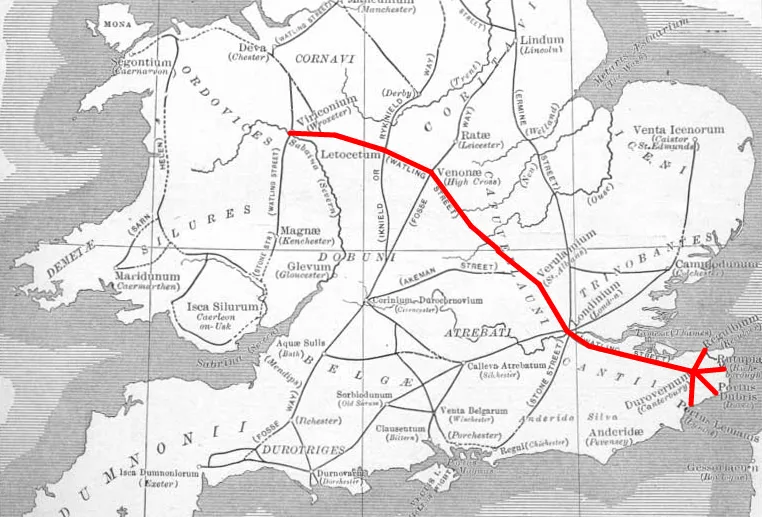
Manduessedum
Manduessedum — archaeological site in Warwickshire, West Midlands, England, UK.
 📷 3
📷 3Hill forts · West Midlands
Pennocrucium
Pennocrucium — archaeological site in Penkridge, South Staffordshire, England, UK.
Frequently asked questions
- Where is Magnae Dobunnorum?
- Magnae Dobunnorum is in Mid Wales, United Kingdom (postcode HR4 7EZ), in the parish of Kenchester.
- What is Magnae Dobunnorum?
- Magnae Dobunnorum — Romano-British town and archaeological site.
- How do I get to Magnae Dobunnorum?
- The nearest railway station is Broomy Hill, about 6.7 km away. Drivers can use postcode HR4 7EZ.
- Is Magnae Dobunnorum a protected site?
- Yes — Magnae Dobunnorum is part of the River Lugg SSSI Site of Special Scientific Interest and the River Wye SSSI Site of Special Scientific Interest.
- Is Magnae Dobunnorum free to visit?
- Yes, Magnae Dobunnorum is free to enter.
- How do I get to Magnae Dobunnorum?
- The nearest railway station is Broomy Hill, about 6.7 km away. Drivers can navigate to postcode HR4 7EZ.