Wildlife reserves · Northern Ireland
Magilligan
In or near Bellarena.
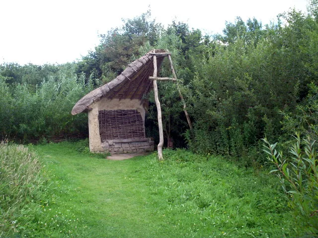
Magilligan is a peninsula at the mouth of Lough Foyle in County Londonderry, Northern Ireland. It is an extensive 79,000-acre (32,000-hectare) coastal site, part military firing range and part nature

Malcolm Neal — CC BY-SA 2.0 via Wikimedia Commons licence
Plan your visit
- Typical visit
- 2 h–4 h
- Best time of year
- Autumn & winter (migration & wildfowl)
- Nearest railway station
- Bellarena · 6.7 km
- Free entry
- Dog-friendly
Getting there & planning your visit
To visit Magilligan, the nearest railway station is Bellarena, located 6.7 km away. The postcode for sat-nav is BT49 0LR, and entry to the wildlife reserve is free.
About
Magilligan is a peninsula at the mouth of Lough Foyle in County Londonderry, Northern Ireland. It is an extensive 79,000-acre (32,000-hectare) coastal site, part military firing range and part nature reserve, and is home to HM Prison Magilligan. The tip of the peninsula, which lies less than a mile from Greencastle in County Donegal, is known as Magilligan Point. The two are linked by a ferry service.
Photo gallery
From the Wikipedia article
Magilligan is a peninsula at the mouth of Lough Foyle in County Londonderry, Northern Ireland. It is an extensive 79,000-acre (32,000-hectare) coastal site, part military firing range and part nature reserve, and is home to HM Prison Magilligan. The tip of the peninsula, which lies less than a mile from Greencastle in County Donegal, is known as Magilligan Point. The two are linked by a ferry service.
Excerpt from Wikipedia under CC BY-SA 4.0. See the source article linked in Sources below.
Background
History
The peninsula historically belonged to a district known as "MacGilligan's Country", which formed a major part of the barony of Keenaght. Magilligan served as the base line for triangulation for the mapping of Ireland in the 19th century. Colonel Thomas Colby chose Magilligan due to the flatness of the strand and its proximity to Scotland which, along with the rest of Britain, had been accurately mapped in previous decades. A straight line precisely 30533 feet was measured from North Station to Ballykelly in 1828, from which all other references were measured. The survey finished in 1846 when County Kerry was mapped.
Sourced from Wikipedia under CC BY-SA 4.0.
- Coordinates
- 55.1870, -6.9580
- District
- Causeway Coast and Glens
- Postcode
- BT49 0LR
- Parliamentary constituency
- East Londonderry
- Nearest railway station
- Bellarena — 6.7 km
Sources
- wikipedia: Magilligan (CC BY-SA 4.0)
Other places nearby

HM Prison Magilligan
Natural landmarks · 1.5 km

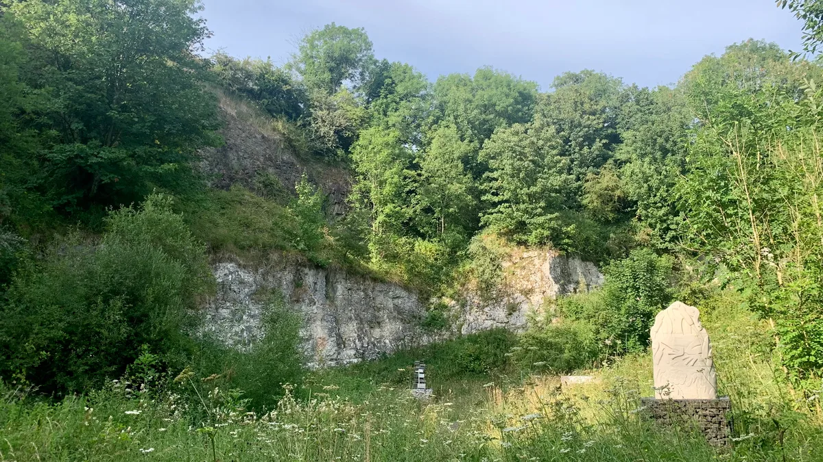
North Base Station, Lough Foyle Base Line
Memorials & monuments · 4.0 km

Magilligan GAC
Natural landmarks · 4.9 km

Golden Sands
Caravan parks · 5.4 km

Deighans Caravan Park
Caravan parks · 5.4 km

Benone
Beaches · 5.4 km

Bellarena
Towns & cities · 5.5 km

Ballyscullion
Towns & cities · 5.5 km
Tivole Caravan Park
Caravan parks · 5.7 km

Magilligan railway station
Natural landmarks · 5.8 km

Downhill Strand
Beaches · 5.8 km
Benone Caravan Park
Caravan parks · 5.9 km
Nearby
📷 4Natural landmarks · Northern Ireland
HM Prison Magilligan
HM Prison Magilligan in Northern Ireland, United Kingdom.
📷 2Memorials & monuments · Northern Ireland
North Base Station, Lough Foyle Base Line
North Base Station, Lough Foyle Base Line — a memorial in northern-ireland, United Kingdom.
📷 3Natural landmarks · Northern Ireland
Magilligan GAC
Magilligan GAC in Northern Ireland, United Kingdom.
📷 5Caravan parks · Northern Ireland
Golden Sands
Golden Sands — a caravan park in northern ireland.
📷 5Caravan parks · Northern Ireland
Deighans Caravan Park
Deighans Caravan Park — a caravan park in northern ireland.
📷 4Beaches · Northern Ireland
Benone
Benone is a popular tourist destination in the Causeway Coast and Glens district, County Londonderry, Northern Ireland. Benone has several caravan sites, such as Golden Sands, Deighans' and a leisure
Where to eat & stay near Magilligan
Places to stay
📷 5Caravan parks · Northern Ireland
Golden Sands
Golden Sands — a caravan park in northern ireland.
📷 5Caravan parks · Northern Ireland
Deighans Caravan Park
Deighans Caravan Park — a caravan park in northern ireland.
📷 5Caravan parks · Northern Ireland
Tivole Caravan Park
Tivole Caravan Park — a caravan park in northern ireland.
📷 5Caravan parks · Northern Ireland
Benone Caravan Park
Benone Caravan Park — a caravan park in northern ireland.
📷 5📷 5Caravan parks · Northern Ireland
Benone Tourist Complex
Benone Tourist Complex — a caravan park in northern ireland.
More places in this region
 Flagship📷 4
Wildlife reserves · Northern Ireland
Murlough Nature Reserve
Murlough Nature Reserve — Irish nature reserve.
 Flagship📷 3
Wildlife reserves · Northern Ireland
Oxford Island
Oxford Island — nature reserve in the United Kingdom.
 📷 3
📷 3Wildlife reserves · Northern Ireland
Banagher Glen
Banagher Glen — Protected area in Northern Ireland.
 📷 3
📷 3Wildlife reserves · Northern Ireland
Belshaw's Quarry Nature Reserve
Belshaw's Quarry Nature Reserve — nature reserve in County Antrim, Northern Ireland.
Frequently asked questions
- Where is Magilligan?
- Magilligan is in Northern Ireland, United Kingdom (postcode BT49 0LR).
- What is Magilligan?
- Magilligan is a peninsula at the mouth of Lough Foyle in County Londonderry, Northern Ireland. It is an extensive 79,000-acre (32,000-hectare) coastal site, part military firing range and part nature
- How do I get to Magilligan?
- The nearest railway station is Bellarena, about 6.7 km away. Drivers can use postcode BT49 0LR.
- Is Magilligan free to visit?
- Yes, Magilligan is free to enter.
- How do I get to Magilligan?
- The nearest railway station is Bellarena, about 6.7 km away. Drivers can navigate to postcode BT49 0LR.
- Are dogs allowed at Magilligan?
- Most wildlife reserves allow dogs on lead only, with restrictions during ground-nesting bird season (March-July). Check signage at the reserve.