Islands · Northern Ireland
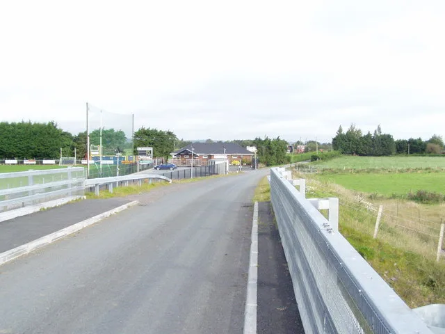
Lustymore Island
Lustymore Island — island in United Kingdom.

Oliver Dixon — CC BY-SA 2.0 via Wikimedia Commons licence
Plan your visit
- Typical visit
- 4 h–12 h
- Free entry
- Dog-friendly
About
Lustymore Island is a island in the United Kingdom. Wikidata describes it as: "island in United Kingdom". Coordinates: 54.5023°, -7.8430°.
Photo gallery
From the Wikipedia article
Lustymore Island (from Irish Loiste Mór 'big lodge') is an island located in Lower Lough Erne, County Fermanagh, Northern Ireland. Nearby is Boa Island whose Caldragh cemetery has a carved Janus-type figure. A second figure was brought to Caldragh in 1939 from Lustymore Island. In the early 20th century, Lady Hunt from Alberta, Canada, owned both Lustymore and Lustybeg islands. When her residence, Glenvar House, accidentally burned down, she moved to Germany.
Excerpt from Wikipedia under CC BY-SA 4.0. See the source article linked in Sources below.
- Coordinates
- 54.5023, -7.8430
- District
- Fermanagh and Omagh
- Postcode
- BT93 8AD
- Parliamentary constituency
- Fermanagh and South Tyrone
Sources
- wikidata: Q3362053 (CC0)
- wikipedia: Lustymore Island (CC BY-SA 4.0)
Other places nearby
Loading nearby places…
Nearby
 📷 5
📷 5Islands · Northern Ireland
Lusty Beg Island
Lusty Beg Island — island in United Kingdom.
 📷 4
📷 4Islands · Northern Ireland
Boa Island
Boa Island is a island in the United Kingdom.
 📷 3
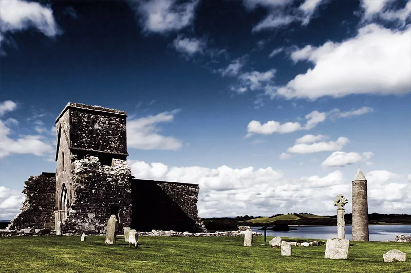
📷 3Archaeological sites · Northern Ireland
Lustymore Island Figure
Lustymore Island Figure — a archaeological in northern-ireland, United Kingdom.
📷 3Archaeological sites · Northern Ireland
Boa Island Figure
Boa Island Figure — a archaeological in northern-ireland, United Kingdom.
 📷 2
📷 2Natural landmarks · Northern Ireland
Lurg
Lurg in Northern Ireland, United Kingdom.
 Flagship📷 4
Natural landmarks · Northern Ireland
Lough Erne
Lough Erne — lake in County Fermanagh, Northern Ireland, UK.
More places in this region
 Flagship📷 3
Islands · Northern Ireland
Derrywarragh Island
Derrywarragh Island — island in County Armagh, Northern Ireland, United Kingdom.
 Flagship📷 5
Islands · Northern Ireland
Devenish Island
Devenish Island — island in Lower Lough Erne, Northern Ireland.
 Flagship📷 3
Islands · Northern Ireland
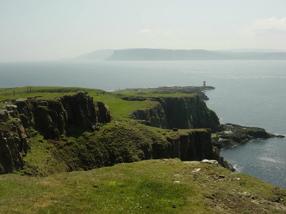
Rathlin Island
Rathlin Island — island in County Antrim, Northern Ireland, UK.
 Flagship📷 5
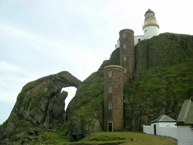
Islands · Northern Ireland
Sanda Island
Sanda Island — a small island in Argyll and Bute, Scotland, UK.
Frequently asked questions
- Where is Lustymore Island?
- Lustymore Island is in Northern Ireland, United Kingdom (postcode BT93 8AD).
- Is Lustymore Island free to visit?
- Yes, Lustymore Island is free to enter.
- How do I get to Lustymore Island?
- Drivers can navigate to postcode BT93 8AD. It sits within the Fermanagh and South Tyrone parliamentary constituency.