
Villages · North West England
Lower Darwen
In or near Mellor.
Lower Darwen — a village in england north west.

David Dixon — CC BY-SA 2.0 via Wikimedia Commons licence

Plan your visit
- Typical visit
- 1 h–2 h
- Nearest railway station
- Mill Hill · 2.3 km
About
A British village — settlements of this size traditionally cluster a green, parish church, pub and post office around historic land routes.
Photo gallery
Protected designations
- Site of Special Scientific Interest: West Pennine Moors SSSI
Designations sourced from Natural England open data under OGL v3.
Place summary
Lower Darwen is a village located in North-West England. It is part of the unitary authority of Blackburn with Darwen. The village features a mix of residential areas and local amenities, typical of small British communities.
AI-generated from the structured facts on this page (operator, designation, listing, era). Not a substitute for visiting.
- Coordinates
- 53.7214, -2.4750
- District
- Blackburn with Darwen
- Parish
- Blackburn with Darwen, unparished area
- Postcode
- BB3 0QA
- Parliamentary constituency
- Rossendale and Darwen
- Nearest railway station
- Mill Hill — 2.3 km
Sources
- manual: geonames-2643528 (CC BY 4.0)
Other places nearby

Lower Darwen War Memorial
Memorials & monuments · 0.8 km

Thwaites Empire Theatre
Open-air theatres · 1.6 km
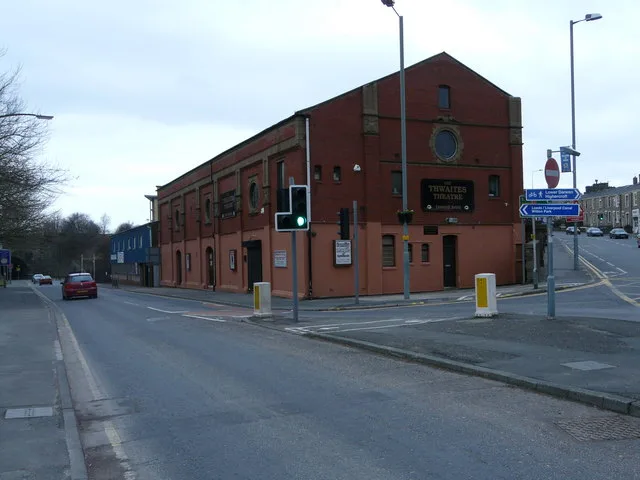
Thwaites Empire Theatre
Theatres · 1.6 km
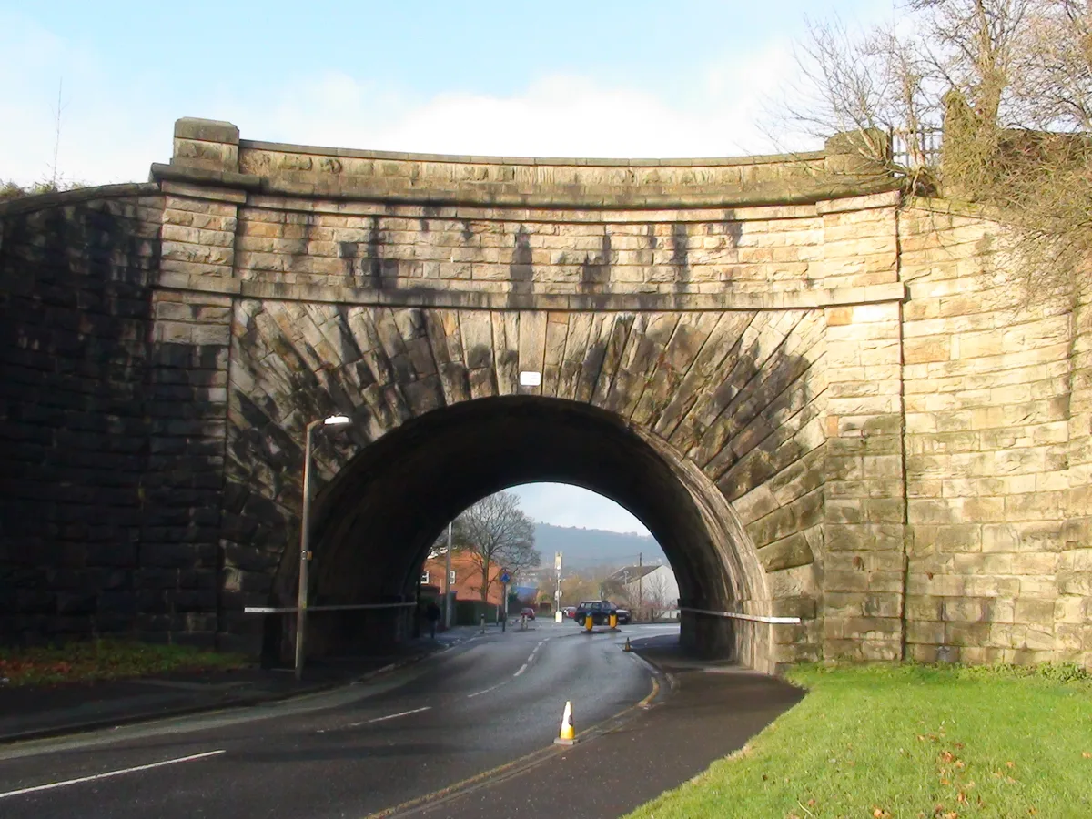
Ewood Aqueduct
Aqueducts · 1.8 km

Ewood Aqueduct
Historic bridges · 1.8 km

Hollin Bridge
Historic bridges · 1.8 km

St Andrew's Church, Blackburn
Historic churches · 1.9 km

Bog Heights
Mountains & hills · 2.0 km

Stone Bridge
Historic bridges · 2.3 km
Carved Stone Bridge
Historic bridges · 2.4 km

Blackburn Arena
Ice rinks · 2.4 km
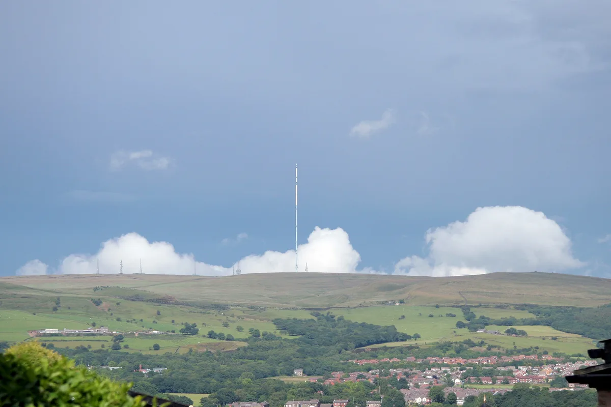
Winter Hill
Mountains & hills · 2.4 km
Nearby
📷 3Memorials & monuments · North West England
Lower Darwen War Memorial
Lower Darwen War Memorial — Grade II listed building-listed memorial in england-north-west, United Kingdom.
📷 5Open-air theatres · North West England
Thwaites Empire Theatre
Thwaites Empire Theatre — a open-air theatre in england north west.
📷 3Theatres · North West England
Thwaites Empire Theatre
Thwaites Empire Theatre is a theatre in the United Kingdom.
📷 3Aqueducts · North West England
Ewood Aqueduct
Ewood Aqueduct — grade II listed canal in Blackburn with Darwen, Lancashire, England, UK.
📷 3Historic bridges · North West England
Ewood Aqueduct
Ewood Aqueduct is a historic bridge in the United Kingdom.
📷 3Historic bridges · North West England
Hollin Bridge
Hollin Bridge — Grade II listed building-listed bridge in england-north-west, United Kingdom.
Where to eat & stay near Lower Darwen
Places to stay
 📷 6
Hotels · North West England
Hampton by Hilton Blackburn
Hampton by Hilton Blackburn — a hotel in england north west. 3-star. Brand: Hampton.
 📷 5
Hotels · North West England
Dunkenhalgh Hotel
Dunkenhalgh Hotel — a hotel in england north west.
 📷 5
Caravan parks · North West England
Harwood Bar Caravan Park
Harwood Bar Caravan Park — a caravan park in england north west.
 📷 5
Campsites · North West England
Bowley International Scout Centre
Bowley International Scout Centre — a campsite in england north west.
 📷 5
 📷 5
Caravan parks · North West England
Walleach Caravan Park
Walleach Caravan Park — a caravan park in england north west.
Places to eat & drink
 📷 5
 📷 5
Historic pubs · North West England
Ye Olde Hob Inn
Ye Olde Hob Inn in England North West, United Kingdom.
 📷 7
Historic pubs · North West England
Shoulder of Mutton
Shoulder of Mutton in England North West, United Kingdom.
 📷 7
 📷 5
 📷 5
Restaurants · North West England
The Three Fishes
The Three Fishes — a restaurant in england north west.
More places in this region
 📷 5
 📷 5
 📷 5
 📷 5
Frequently asked questions
- Where is Lower Darwen?
- Lower Darwen is in North-West England, United Kingdom (postcode BB3 0QA), in the parish of Blackburn with Darwen, unparished area.
- What is Lower Darwen?
- Lower Darwen — a village in england north west.
- How do I get to Lower Darwen?
- The nearest railway station is Mill Hill, about 2.3 km away. The nearest town is Mellor. Drivers can use postcode BB3 0QA.
- Is Lower Darwen a protected site?
- Yes — Lower Darwen is part of the West Pennine Moors SSSI Site of Special Scientific Interest.
- How do I get to Lower Darwen?
- The nearest railway station is Mill Hill, about 2.3 km away. Drivers can navigate to postcode BB3 0QA.