
Reservoirs & lochs · East Midlands
Longdendale Chain
In or near Old Glossop.
Longdendale Chain — group of reservoirs in Derbyshire, England, UK.

Wikimedia Commons contributors — see linked file page for photographer and licence licence

Plan your visit
- Typical visit
- 1 h–2.5 h
- Nearest railway station
- Manor Station · 4.8 km
- Free entry
- Dog-friendly
Getting there & planning your visit
To visit the Longdendale Chain in the East Midlands, the nearest railway station is Manor Station, located 4.8 km away. Entry to the reservoir is free. The postcode for sat-nav is SK13 1JF.
About
Longdendale Chain is a reservoir in the United Kingdom. Wikidata describes it as: "group of reservoirs in Derbyshire, England, UK". Coordinates: 53.4833°, -1.9000°.
Photo gallery
Protected designations
- Site of Special Scientific Interest: Dark Peak SSSI
Designations sourced from Natural England open data under OGL v3.
From the Wikipedia article
The Longdendale Chain is a sequence of six reservoirs on the River Etherow in the Longdendale Valley, in northern Derbyshire. They were constructed between 1848 and 1884 to a design by John Frederick Bateman to supply the growing population of Manchester and Salford with fresh water. The top three reservoirs (Woodhead, Torside and Rhodeswood) and Arnfield are for drinking water, and the lower reservoirs (Valehouse and Bottoms) are used as compensation reservoirs to maintain the downstream flow of the river. There was originally a seventh – Hollingworth Reservoir – which was abandoned in 1990, and has become part of the Swallows Wood nature reserve. Water flowed by gravity through the Mottram Tunnel to the Godley covered reservoir where it drops to the service reservoirs at Denton, Audenshaw, Gorton and Prestwich.
Excerpt from Wikipedia under CC BY-SA 4.0. See the source article linked in Sources below.
- Coordinates
- 53.4833, -1.9000
- County
- Derbyshire
- District
- High Peak
- Parish
- Charlesworth
- Postcode
- SK13 1JF
- Parliamentary constituency
- High Peak
- Nearest railway station
- Manor Station — 4.8 km
Sources
- wikidata: Q6673679 (CC0)
- wikipedia: Longdendale Chain (CC BY-SA 4.0)
- commons: Longdendale4702.JPG (CC BY-SA 4.0)
Other places nearby

Longdendale Reservoirs
Reservoirs & lochs · 0.0 km
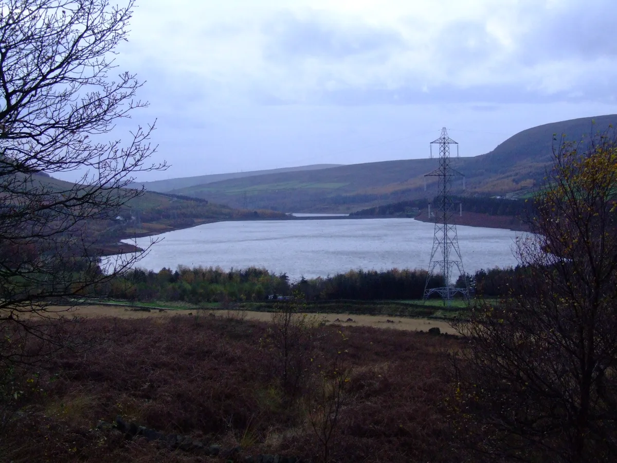
Torside Reservoir
Reservoirs & lochs · 0.3 km

Crowden Bridge 200 yards north west of Crowden Old Vicarage
Historic bridges · 0.8 km

Crowden
Villages · 0.8 km
Crowden Campsite
Campsites · 0.9 km

Crowden Outdoor Education Centre
Hostels · 1.1 km

Glossop Low
Mountains & hills · 1.8 km
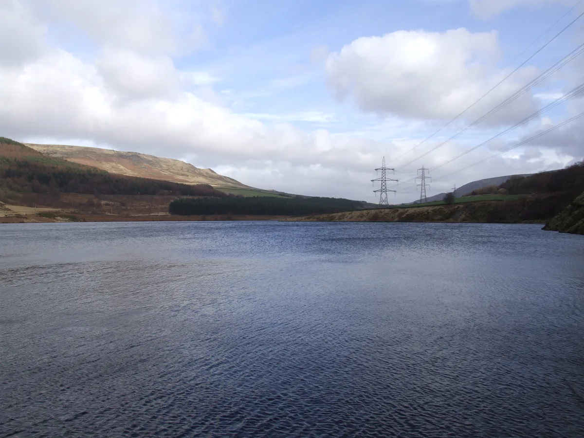
Rhodeswood Reservoir
Reservoirs & lochs · 1.9 km

Torside Castle
Castles · 2.2 km

Blenheim L1476 memorial
Memorials & monuments · 2.2 km

Woodhead Reservoir
Reservoirs & lochs · 2.2 km
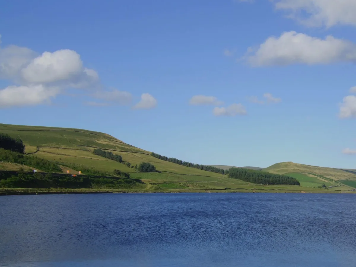
Woodhead Reservoir
Reservoirs & lochs · 2.4 km
Nearby
📷 5Reservoirs & lochs · East Midlands
Longdendale Reservoirs
Longdendale Reservoirs — a reservoir in england east midlands.
📷 3Reservoirs & lochs · East Midlands
Torside Reservoir
Torside Reservoir — reservoir in Derbyshire, England, UK.
📷 3Historic bridges · East Midlands
Crowden Bridge 200 yards north west of Crowden Old Vicarage
Crowden Bridge 200 yards north west of Crowden Old Vicarage — Grade II listed building-listed bridge in england-east-midlands, United Kingdom.
📷 5📷 5Campsites · East Midlands
Crowden Campsite
Crowden Campsite — a campsite in england east midlands.
📷 5Hostels · East Midlands
Crowden Outdoor Education Centre
Crowden Outdoor Education Centre — a hostel in england east midlands.
Where to eat & stay near Longdendale Chain
Places to stay
📷 5Campsites · East Midlands
Crowden Campsite
Crowden Campsite — a campsite in england east midlands.
📷 5Hostels · East Midlands
Crowden Outdoor Education Centre
Crowden Outdoor Education Centre — a hostel in england east midlands.
 📷 5
📷 5Caravan parks · East Midlands
Windy Harbour Hotel Caravan and Camping Site
Windy Harbour Hotel Caravan and Camping Site — a caravan park in england east midlands.
 📷 5
📷 5Campsites · East Midlands
Crossgate Farm Campsite
Crossgate Farm Campsite — a campsite in england east midlands.
 📷 5
📷 5 📷 5
📷 5Caravan parks · Yorkshire & the Humber
Whitegate Leisure Camping & Caravan Site
Whitegate Leisure Camping & Caravan Site — a caravan park in england yorkshire.
Places to eat & drink
 📷 5
📷 5Historic pubs · East Midlands
Bulls Head Public House
Bulls Head Public House in England Yorkshire, United Kingdom.
 📷 7
📷 7Historic pubs · East Midlands
The Spinners Arms Public House
The Spinners Arms Public House in England Yorkshire, United Kingdom.
 📷 5
📷 5Historic pubs · East Midlands
Norfolk Arms Public House
Norfolk Arms Public House in England Yorkshire, United Kingdom.
 📷 5
📷 5Historic pubs · East Midlands
Former Dollars Public House
Former Dollars Public House in England Yorkshire, United Kingdom.
 📷 5
📷 5Historic pubs · East Midlands
The Oakwood and Oakwood Restaurant
The Oakwood and Oakwood Restaurant in England Yorkshire, United Kingdom.
 📷 5
📷 5Historic pubs · East Midlands
The Crown Inn, Glossop
The Crown Inn, Glossop in England Yorkshire, United Kingdom.
More places in this region
 Flagship📷 5
Reservoirs & lochs · East Midlands
Ladybower Reservoir
Ladybower Reservoir — reservoir in Derbyshire, England.
 📷 3
📷 3Reservoirs & lochs · East Midlands
Toddbrook Reservoir
Toddbrook Reservoir — reservoir in Derbyshire, England, UK.
 📷 3
📷 3Reservoirs & lochs · East Midlands
Agden Reservoir
Agden Reservoir — reservoir in South Yorkshire, England, UK.
 📷 5
📷 5Reservoirs & lochs · East Midlands
Arnfield Reservoir
Arnfield Reservoir — reservoir in Derbyshire, England, UK.
Frequently asked questions
- Where is Longdendale Chain?
- Longdendale Chain is in Derbyshire, the East Midlands, United Kingdom (postcode SK13 1JF), in the parish of Charlesworth.
- What is Longdendale Chain?
- Longdendale Chain — group of reservoirs in Derbyshire, England, UK.
- How do I get to Longdendale Chain?
- The nearest railway station is Manor Station, about 4.8 km away. The nearest town is Old Glossop. Drivers can use postcode SK13 1JF.
- Is Longdendale Chain a protected site?
- Yes — Longdendale Chain is part of the Dark Peak SSSI Site of Special Scientific Interest.
- Is Longdendale Chain free to visit?
- Yes, Longdendale Chain is free to enter.
- How do I get to Longdendale Chain?
- The nearest railway station is Manor Station, about 4.8 km away. Drivers can navigate to postcode SK13 1JF.