
Museums · South East England
Long Wittenham
In or near Dorchester on Thames.
Long Wittenham — a museum in england-west-midlands, United Kingdom.

Roger Templeman — CC BY-SA 2.0 via Wikimedia Commons licence

Plan your visit
- Typical visit
- 1.5 h–3 h
- Best time of year
- Year-round
- Nearest railway station
- Appleford · 2.2 km
- Free entry
- Family-friendly
- Limited wheelchair access
About
Long Wittenham is a museum in england-west-midlands, United Kingdom, listed in the Wikipedia register of British heritage and tourism sites. See the linked Wikipedia article for full details.
Photo gallery
Official information
Long Wittenham is a village located in Oxfordshire, England. The website provides information about the village's history, local businesses, community activities, and various clubs and groups available to residents and visitors.
Protected designations
- Area of Outstanding Natural Beauty: North Wessex Downs
Designations sourced from Natural England open data under OGL v3.
Place summary
Long Wittenham is a museum located in the West Midlands. It showcases local history and heritage, offering insights into the area's past through various exhibits. The museum serves as a resource for understanding the cultural significance of the region.
AI-generated from the structured facts on this page (operator, designation, listing, era). Not a substitute for visiting.
Background
History
The village is supposedly named after a Saxon chieftain, named Witta, but there is evidence of an earlier settlement. Bronze Age double-ditch enclosures and middle Bronze Age pottery were identified in the 1960s, and early Bronze Age items, such as an axe and spearhead, have been found in the Thames. Later settlement evidence is more extensive: Iron Age and Roman presence is indicated by trackways, various buildings (enclosures, farms and villas), burials (cremation and inhumation), and pottery and coins. There is also evidence of a possible Frankish settlement: a 5th-century grave that contained high-status Frankish objects. This early habitation was first revealed in the 1890s, in the…
Architecture
The Church of England parish church of Saint Mary, begun around 1120, is on the site of a previous Saxon church. The chancel arch survives from the Norman building; the aisles and tower are later additions. The font is a rare Norman lead one; it was later encased in wood, and this preserved it from iconoclastic Parliamentarian soldiers in the 17th century. A Methodist chapel was built in 1820, and later converted into a butcher's, a general store, and a Post Office. It was disfranchised in 2006 and is now a private house. The base of the village preaching cross dates from the 7th century. Saint Birinus preached here when he brought Christianity to the area. Cruck Cottage can be…
Sourced from Wikipedia under CC BY-SA 4.0.
- Coordinates
- 51.6370, -1.2110
- County
- Oxfordshire
- District
- South Oxfordshire
- Parish
- Long Wittenham
- Postcode
- OX14 4PX
- Parliamentary constituency
- Didcot and Wantage
- Nearest railway station
- Appleford — 2.2 km
- Official site
- www.longwittenham.com
Sources
- wikipedia: Long Wittenham (CC BY-SA 4.0)
Other places nearby

Long Wittenham War Memorial
Memorials & monuments · 0.5 km
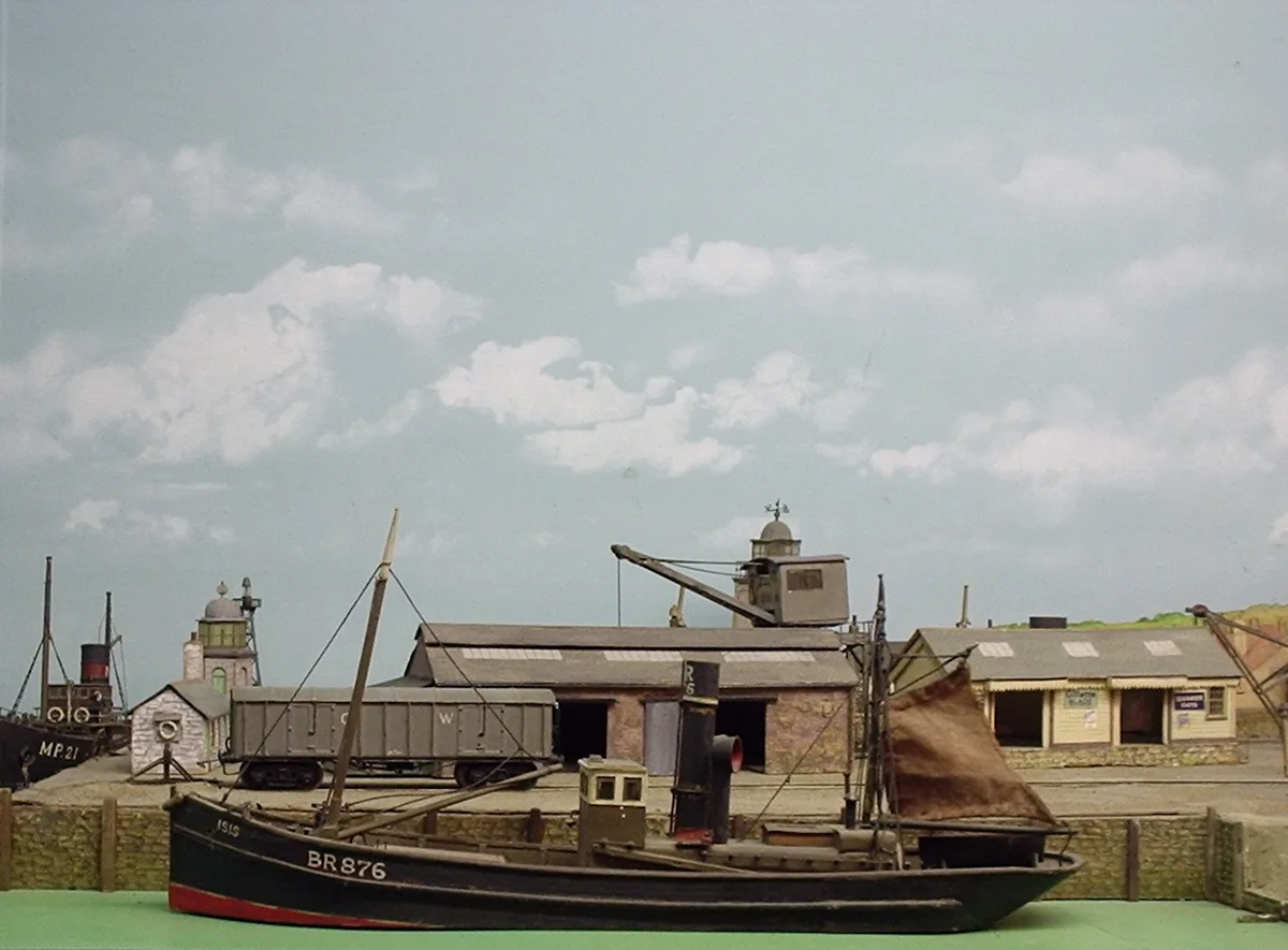
Pendon Museum
Museums · 0.5 km

Wittenham
Villages · 0.6 km

Clifton Cut
Canals · 0.9 km

Clifton Lock
Canal locks · 1.3 km

Settlement site SE of church
Vineyards · 1.5 km

Settlement site at Northfield Farm
Vineyards · 1.7 km

Little Wittenham
Museums · 1.7 km

Earth Trust Centre
Museums · 1.8 km

Bridge House Caravan Site
Caravan parks · 1.8 km

The Barley Mow, Clifton Hampden
Historic houses · 1.9 km

Clifton Hampden Bridge
Historic bridges · 2.0 km
Nearby
📷 3Memorials & monuments · South East England
Long Wittenham War Memorial
Long Wittenham War Memorial — Grade II listed building-listed memorial in england-west-midlands, United Kingdom.
📷 5Museums · South East England
Pendon Museum
Pendon Museum — museum in Oxfordshire, England, United Kingdom.
📷 5📷 3Canals · South East England
Clifton Cut
Clifton Cut — canal by the Thames in Oxfordshire, England, UK.
📷 3Canal locks · South East England
Clifton Lock
Clifton Lock — lock in Oxfordshire, South East England, England, UK.
📷 5Vineyards · South East England
Settlement site SE of church
human settlement in Appleford-on-Thames, Vale of White Horse, Oxfordshire, England, UK
Where to eat & stay near Long Wittenham
Places to stay
📷 5Caravan parks · South East England
Bridge House Caravan Site
Bridge House Caravan Site — a caravan park in england west midlands.
 📷 7
📷 7B&Bs · South East England
The Plough Inn
The Plough Inn — a bed-and-breakfast in england west midlands.
 📷 7
📷 7Hotels · South East England
The George Hotel
The George Hotel — a hotel in england west midlands.
 📷 7
📷 7Hotels · South East England
The White Hart Hotel
The White Hart Hotel — a hotel in england west midlands.
 📷 5
📷 5 📷 7
📷 7Places to eat & drink
📷 7 📷 5
📷 5 📷 5
📷 5Historic pubs · South East England
The Six Bells Inn
The Six Bells Inn in England South East, United Kingdom.
 📷 5
📷 5Historic pubs · South East England
Fleur De Lys Public House
Fleur De Lys Public House in England South East, United Kingdom.
 📷 5
📷 5Historic pubs · South East England
The Old Anchor Inn
The Old Anchor Inn in England South East, United Kingdom.
 📷 7
📷 7Historic pubs · South East England
Punch Bowl Public House
Punch Bowl Public House in England South East, United Kingdom.
More museums in this region
 📷 5
📷 5Museums · South East England
Coldrum Long Barrow
Coldrum Long Barrow — neolithic chambered long barrow near Trottiscliffe, Kent, England, UK.
 📷 5
📷 5Museums · South East England
Guildford House
Guildford House — house in Guildford, Surrey, England, UK.
 📷 5
📷 5Museums · South East England
Huguenot Museum
Huguenot Museum — museum in Rochester, England, UK.
 📷 5
📷 5Museums · South East England
Medway megaliths
Medway megaliths — group of long barrows in Kent, England.
Frequently asked questions
- Where is Long Wittenham?
- Long Wittenham is in Oxfordshire, South-East England, United Kingdom (postcode OX14 4PX), in the parish of Long Wittenham.
- What is Long Wittenham?
- Long Wittenham — a museum in england-west-midlands, United Kingdom.
- How do I get to Long Wittenham?
- The nearest railway station is Appleford, about 2.2 km away. The nearest town is Dorchester on Thames. Drivers can use postcode OX14 4PX.
- Is Long Wittenham a protected site?
- Yes — Long Wittenham is part of the North Wessex Downs National Landscape (AONB).
- Is Long Wittenham free to visit?
- Yes, Long Wittenham is free to enter.
- How do I get to Long Wittenham?
- The nearest railway station is Appleford, about 2.2 km away. Drivers can navigate to postcode OX14 4PX.