
Villages · South Wales
Locking
In or near Kewstoke.
Locking — a village in wales south.

Neil Owen — CC BY-SA 2.0 via Wikimedia Commons licence
Plan your visit
- Typical visit
- 1 h–2 h
- Nearest railway station
- Weston Milton · 2.6 km
About
A British village — settlements of this size traditionally cluster a green, parish church, pub and post office around historic land routes.
Photo gallery
Protected designations
- Site of Special Scientific Interest: Severn Estuary SSSI
- Area of Outstanding Natural Beauty: Mendip Hills
- Ramsar wetland: Severn Estuary
Designations sourced from Natural England open data under OGL v3.
Place summary
Locking is a village located in South Wales, within the parish of the same name and postcode BS24. With a population of 1,742, it is notable for its proximity to significant natural designations, including the Severn Estuary Site of Special Scientific Interest (SSSI), the Mendip Hills Area of Outstanding Natural Beauty (AONB), and the Ramsar-listed Severn Estuary. These designations highlight the area's ecological importance and scenic landscapes.
AI-generated from the structured facts on this page (operator, designation, listing, era). Not a substitute for visiting.
- Coordinates
- 51.3333, -2.9139
- District
- North Somerset
- Parish
- Locking
- Postcode
- BS24 8DB
- Parliamentary constituency
- Weston-super-Mare
- Population
- 1,742
- Nearest railway station
- Weston Milton — 2.6 km
Sources
- manual: geonames-2643790 (CC BY 4.0)
Other places nearby

Locking, Somerset
Castles · 0.3 km

RAFLAA Monument
Memorials & monuments · 0.6 km

West End Farm Caravan Park
Caravan parks · 1.0 km
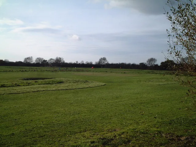
Locking Castle
Castles · 1.1 km

Motte and bailey castle and associated earthworks south of Locking Head Farm
Literary houses · 1.1 km

Locking Head Castle
Castles · 1.1 km

The Helicopter Museum
Museums · 1.4 km

Westland 30-200
Museums · 1.4 km
Westland 30-100
Museums · 1.4 km
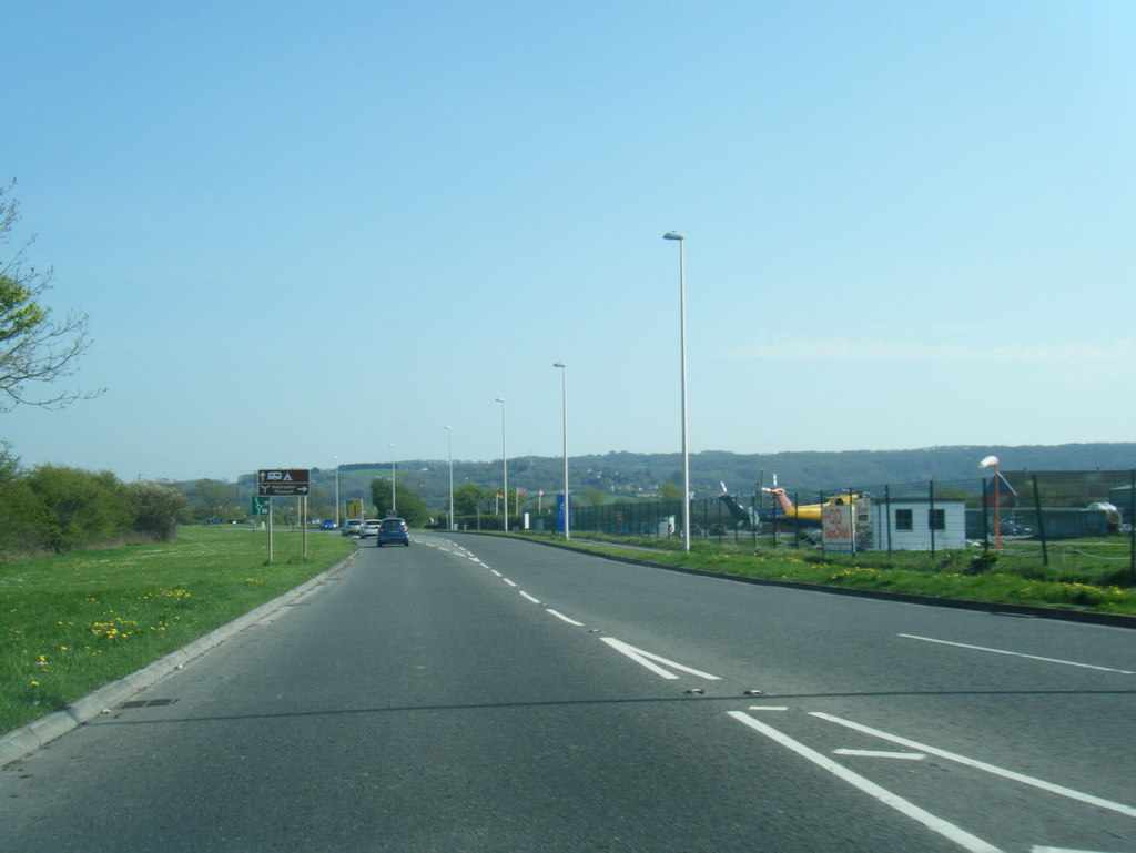
EH Industries EH101 Heliliner
Museums · 1.5 km

Hutton, Somerset
Castles · 1.6 km

Tinker's Batch
Vineyards · 1.6 km
Nearby
📷 5Castles · South Wales
Locking, Somerset
Locking, Somerset — a castle in wales-south, United Kingdom.
📷 3Memorials & monuments · South Wales
RAFLAA Monument
RAFLAA Monument — a memorial in wales-south, United Kingdom.
📷 3Caravan parks · South Wales
West End Farm Caravan Park
West End Farm Caravan Park — a caravan park in wales south.
📷 3Castles · South Wales
Locking Castle
Locking Castle — castle in Locking, North Somerset, England, UK.
📷 5Literary houses · South Wales
Motte and bailey castle and associated earthworks south of Locking Head Farm
Motte and bailey castle and associated earthworks south of Locking Head Farm — a literary house museum in wales south.
📷 3Castles · South Wales
Locking Head Castle
Locking Head Castle — a castle in wales-south, United Kingdom.
Where to eat & stay near Locking
Places to stay
📷 3Caravan parks · South Wales
West End Farm Caravan Park
West End Farm Caravan Park — a caravan park in wales south.
 📷 5
📷 5Caravan parks · South Wales
Willow Down Caravan Park
Willow Down Caravan Park — a caravan park in wales south.
 📷 5
📷 5Caravan parks · South Wales
Summer Lane Parkhomes
Summer Lane Parkhomes — a caravan park in wales south.
 📷 5
📷 5Caravan parks · South Wales
Myrtle Farm Touring Park
Myrtle Farm Touring Park — a caravan park in wales south.
 📷 4
📷 4Campsites · South Wales
Stonebridge Farm Campsite
Stonebridge Farm Campsite — a campsite in wales south.
 📷 5
📷 5Places to eat & drink

 📷 5
📷 5Restaurants · South Wales
The Pavilion
The Pavilion — a restaurant in wales south.
 📷 5
📷 5Restaurants · South Wales
Muffins Tea Room & Brasserie
Muffins Tea Room & Brasserie — a restaurant in wales south.
 📷 5
📷 5 📷 5
📷 5 📷 5
📷 5More places in this region


Frequently asked questions
- Where is Locking?
- Locking is in South Wales, United Kingdom (postcode BS24 8DB), in the parish of Locking.
- What is Locking?
- Locking — a village in wales south.
- How do I get to Locking?
- The nearest railway station is Weston Milton, about 2.6 km away. Drivers can use postcode BS24 8DB.
- Is Locking a protected site?
- Yes — Locking is part of the Severn Estuary SSSI Site of Special Scientific Interest and the Mendip Hills National Landscape (AONB).
- How do I get to Locking?
- The nearest railway station is Weston Milton, about 2.6 km away. Drivers can navigate to postcode BS24 8DB.