
Reservoirs & lochs · Scottish Highlands
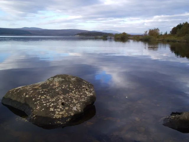
Lochbroom
In or near Ullapool.
Lochbroom in Scotland Islands, United Kingdom.

Roger McLachlan — CC BY-SA 2.0 via Wikimedia Commons licence

Plan your visit
- Typical visit
- 1 h–2.5 h
- Free entry
- Dog-friendly
About
Lochbroom is a place of interest in Scotland Islands, United Kingdom — drawn from open-data sources for visitor reference. See the linked Wikipedia article for the full description.
Photo gallery
From the Wikipedia article
Lochbroom is a civil parish in Ross and Cromarty, Scotland, part of the Highland Unitary Authority area. Its name is Gaelic (Lochbraon), meaning "loch of rain showers". It completely surrounds Loch Broom, a sea loch extending from 7 miles (11 km) inland from the Minch on the west coast of Scotland. The former parish church stands at the head of this loch, hence the name of the parish. Lochbroom is also a Community council area, but the north-west corner of the parish is the (much smaller) Coigach community council area. At the 2011 census, the population of the civil parish was 2,487. Only 13.8% had some knowledge of Gaelic, whereas in 1891 86% were Gaelic speaking. The area of the parish is 408 square miles (1,060 km2). The parish has an irregular coastline with several prominent inlets, including Loch Broom, Little Loch Broom, Enard Bay and Gruinard Bay and includes the islands of Tanera Mòr, Isle Martin and Gruinard Island. In 1857, separate Registration Districts (R.D.) were established for Lochbroom and Coigach, the latter being about a quarter of the population of the parish (1891). When the Community council scheme began in 1976, Lochbroom and Coigach were likewise separate council areas. (The two R.D.s were united in 2002). . Within the present boundaries, Coigach has 10% of the population and 15% of the area of the civil parish. Lochbroom has 10 community councillors and Coigach 8. For church purposes only, Ullapool was made a separate parish from Lochbroom in 1859. This Ullapool Quoad sacra parish covered 62% of the population of the civil parish (1891), and included all of Coigach R.D. and part of Lochbroom R.D. The parishes are now reunited. Ullapool is the main town. Other significant settlements are Badluarach, Badcaul, Scoraig, Dundonnell, Letters, Inverbroom(Clarach), Ardcharnich, Leckmelm, Morefield and Ardmair. In Coigach are Achiltibuie, (the main settlement), Altandhu and Polbain.
Excerpt from Wikipedia under CC BY-SA 4.0. See the source article linked in Sources below.
- Coordinates
- 57.8826, -5.1740
- District
- Highland
- Postcode
- IV26 2SS
- Parliamentary constituency
- Caithness, Sutherland and Easter Ross
Sources
- wikidata: Q68816079 (CC0)
- wikipedia: Lochbroom, Highland (CC BY-SA 4.0)
Other places nearby

Allt na h-Airbhe
Reservoirs & lochs · 0.8 km
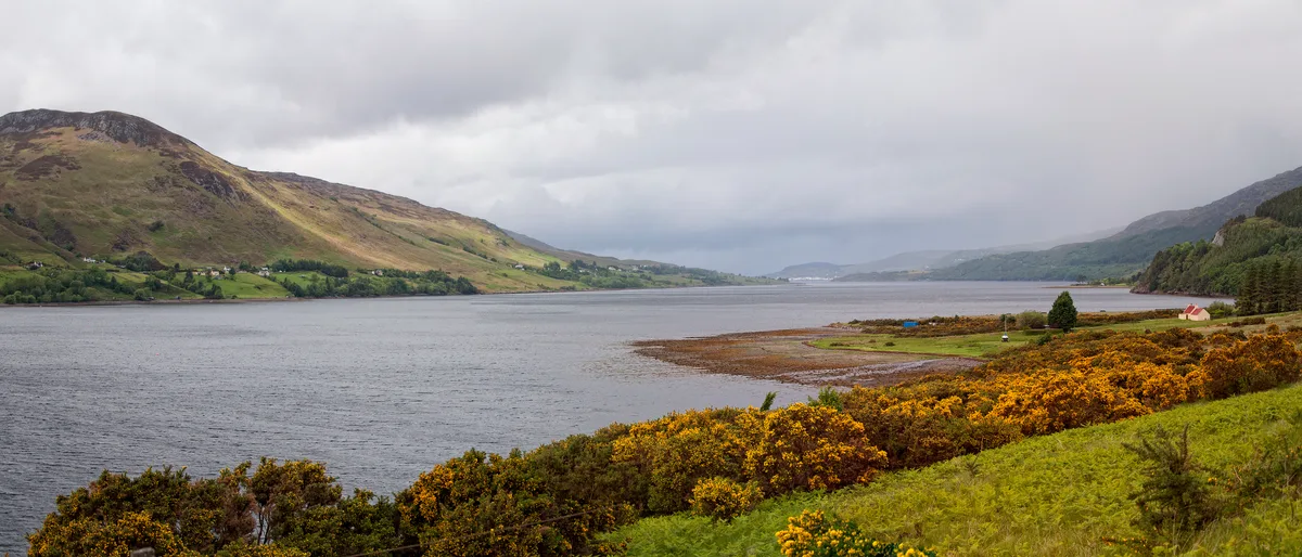
Loch Broom
Mountains & hills · 1.1 km

Ullapool Sea Front
Viewpoints · 1.3 km

Broomfield Holiday Park
Campsites · 1.5 km
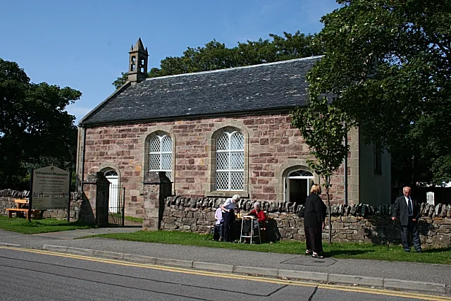
Ullapool Museum
Museums · 1.6 km

Ullapool harbour
Harbours & ports · 1.6 km
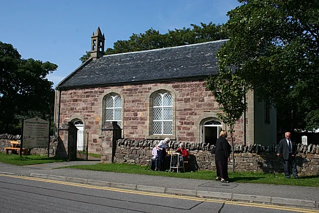
Ullapool old parish church
Abbeys & priories · 1.6 km

Ullapool old parish church
Cathedrals · 1.6 km

Sir John Fowler Memorial Clock
Memorials & monuments · 1.7 km
Sir John Fowler Memorial Clock, Argyle Street, Ullapool
Memorials & monuments · 1.7 km

A893 road
Reservoirs & lochs · 1.8 km

Ullapool
Towns & cities · 1.8 km
Nearby
📷 4Reservoirs & lochs · Scottish Highlands
Allt na h-Airbhe
Allt na h-Airbhe in Scotland Islands, United Kingdom.
📷 3Mountains & hills · Scottish Highlands
Loch Broom
Loch Broom — sea loch located in Ross and Cromarty, Highland, Scotland, UK.
📷 3Viewpoints · Scottish Highlands
Ullapool Sea Front
Ullapool Sea Front is a viewpoint in the United Kingdom.
📷 5Campsites · Scottish Highlands
Broomfield Holiday Park
Broomfield Holiday Park — a campsite in scotland highlands.
📷 3Museums · Scottish Highlands
Ullapool Museum
Ullapool Museum — museum in Ullapool, Scotland, United Kingdom.
📷 3Harbours & ports · Scottish Highlands
Ullapool harbour
Ullapool harbour — harbour at Ullapool, Highland, Scotland, UK.
Where to eat & stay near Lochbroom
Places to stay
📷 5Campsites · Scottish Highlands
Broomfield Holiday Park
Broomfield Holiday Park — a campsite in scotland highlands.
 📷 5
📷 5Hostels · Scottish Highlands
Ullapool Youth Hostel
Ullapool Youth Hostel — a hostel in scotland highlands.
 📷 5
📷 5Hostels · Scottish Highlands
Ullapool Youth Hostel
Ullapool Youth Hostel — a hostel in scotland highlands.
 📷 5
📷 5Campsites · Scottish Highlands
Badrallach Campsite
Badrallach Campsite — a campsite in scotland highlands.
 📷 5
📷 5Campsites · Scottish Highlands
Ardmair Point Touring Park
Ardmair Point Touring Park — a campsite in scotland highlands.
 📷 5
📷 5Hostels · Scottish Highlands
Sail Mhor Croft Hostel
Sail Mhor Croft Hostel — a hostel in scotland highlands.
More places in this region
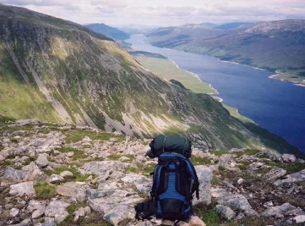 Flagship📷 3
Reservoirs & lochs · Scottish Highlands
Loch Ericht
Loch Ericht — lake in Perth and Kinross, and Highland, Scotland, UK, outflows to River Ericht.
 Flagship📷 3
Reservoirs & lochs · Scottish Highlands
Loch Shin
Loch Shin — reservoir in Highland, Scotland, UK, outflows to the River Shin.
 📷 4
📷 4Reservoirs & lochs · Scottish Highlands
Backwater Reservoir
Backwater Reservoir — lake in Angus, Scotland, UK.
 📷 3
📷 3Reservoirs & lochs · Scottish Highlands
Blackwater Reservoir
Blackwater Reservoir — reservoir in Highland, Scotland, UK, outflows to the River Leven.
Frequently asked questions
- Where is Lochbroom?
- Lochbroom is in the Scottish Highlands, United Kingdom (postcode IV26 2SS).
- What is Lochbroom?
- Lochbroom in Scotland Islands, United Kingdom.
- How do I get to Lochbroom?
- Drivers can use postcode IV26 2SS.
- Is Lochbroom free to visit?
- Yes, Lochbroom is free to enter.
- How do I get to Lochbroom?
- Drivers can navigate to postcode IV26 2SS. It sits within the Caithness, Sutherland and Easter Ross parliamentary constituency.