
Reservoirs & lochs · Scottish Highlands
Lochaber
Also known as: Loch Abar
Lochaber in Scotland Islands, United Kingdom.

Wikimedia Commons licence
Plan your visit
- Typical visit
- 1 h–2.5 h
- Nearest railway station
- Lochailort · 8.5 km
- Free entry
- Dog-friendly
Getting there & planning your visit
To visit Lochaber, the nearest railway station is Lochailort, which is 8.5 km away. Entry is free. Accessibility details are not provided.
About
Lochaber is a place of interest in Scotland Islands, United Kingdom — drawn from open-data sources for visitor reference. See the linked Wikipedia article for the full description.
Photo gallery
From the Wikipedia article
Lochaber ( lokh-AH-bər; Scottish Gaelic: Loch Abar) is a name applied to a part of the Scottish Highlands. Historically, it was a provincial lordship consisting of the parishes of Kilmallie and Kilmonivaig. Lochaber once extended from the Northern shore of Loch Leven, a district called Nether Lochaber, to beyond Spean Bridge and Roybridge, which area is known as Brae Lochaber or Braigh Loch Abar in Gaelic. For local government purposes, the name was used for one of the landward districts of Inverness-shire from 1930 to 1975, and then for one of the districts of the Highland region from 1975 to 1996. Since 1996 the Highland Council has had a Lochaber area committee. The main town of Lochaber is Fort William. Other moderate sized settlements in Lochaber include Mallaig, Ballachulish and Glencoe.
Excerpt from Wikipedia under CC BY-SA 4.0. See the source article linked in Sources below.
Background
History
, caput of the provincial lordship of Lochaber and site of a possible earlier Pictish settlement]] Lochaber is first recorded in the Life of Columba written in by Adomnán, the Abbot of Iona Abbey. Although there are no known Pictish stones within the area, Ardnamurchan Point is believed to have marked the boundary between the lands ruled by the Picts to the north and east, and those ruled by migrating Irish clans in Dál Riata to the south. Archaeological evidence of earlier structures supports the tradition that Inverlochy Castle was built on the site of an earlier Pictish settlement, described by the historian Hector Boece in 1526 as a "city ... much frequented with merchants of France and…
Sourced from Wikipedia under CC BY-SA 4.0.
- Coordinates
- 56.8069, -5.6305
- Nearest railway station
- Lochailort — 8.5 km
Sources
Other places nearby

Beinn Gaire
Mountains & hills · 0.7 km
Beinn Gaire
Mountains & hills · 0.8 km
Cruach nan Caorach
Mountains & hills · 0.9 km

Beinn an t-Samhainn
Mountains & hills · 2.7 km
Beinn an t-Samhainn
Mountains & hills · 2.8 km

Creag nan Lochan
Mountains & hills · 3.2 km
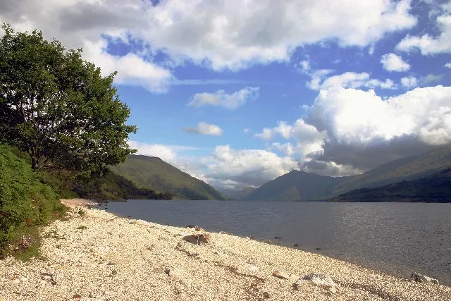
Loch Shiel
Natural landmarks · 3.2 km

An t-Slat-bheinn
Mountains & hills · 3.6 km

Rubha an Fhaing Dhuibh,settlement
Vineyards · 3.7 km

Sgurr na Ba Glaise
Mountains & hills · 3.8 km
Sgùrr na Bà Glaise
Mountains & hills · 3.8 km

Loch Shiel
Lakes · 3.9 km
Nearby
📷 5Mountains & hills · Scottish Highlands
Beinn Gaire
Beinn Gaire — a hill or mountain in scotland highlands.
📷 5Mountains & hills · Scottish Highlands
Beinn Gaire
Beinn Gaire — mountain in scotland highlands. Elevation: 666 m.
📷 5Mountains & hills · Scottish Highlands
Cruach nan Caorach
Cruach nan Caorach — a hill or mountain in scotland highlands.
📷 5Mountains & hills · Scottish Highlands
Beinn an t-Samhainn
Beinn an t-Samhainn — mountain in scotland highlands. Elevation: 524 m.
📷 5Mountains & hills · Scottish Highlands
Beinn an t-Samhainn
Beinn an t-Samhainn — a hill or mountain in scotland highlands.
📷 5Mountains & hills · Scottish Highlands
Creag nan Lochan
Creag nan Lochan — a hill or mountain in scotland highlands.
Where to eat & stay near Lochaber
Places to stay
 📷 5
📷 5Hostels · Scottish Highlands
Ariundle Centre
Ariundle Centre — a hostel in scotland highlands.
 📷 5
📷 5Campsites · Scottish Highlands
Sunart Camping
Sunart Camping — a campsite in scotland highlands.
 📷 5
📷 5 📷 6
📷 6Hotels · Scottish Highlands
The Strontian Hotel
The Strontian Hotel — a hotel in scotland highlands.
 📷 5
📷 5Campsites · Scottish Highlands
Tigh na Mara
Tigh na Mara — a campsite in scotland highlands.
 📷 5
📷 5Campsites · Scottish Highlands
Invercaimbe caravan and campsite
Invercaimbe caravan and campsite — a campsite in scotland highlands.
More places in this region
 Flagship📷 3
Reservoirs & lochs · Scottish Highlands
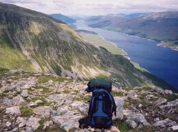
Loch Ericht
Loch Ericht — lake in Perth and Kinross, and Highland, Scotland, UK, outflows to River Ericht.
 Flagship📷 3
Reservoirs & lochs · Scottish Highlands
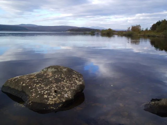
Loch Shin
Loch Shin — reservoir in Highland, Scotland, UK, outflows to the River Shin.
 📷 4
📷 4Reservoirs & lochs · Scottish Highlands
Backwater Reservoir
Backwater Reservoir — lake in Angus, Scotland, UK.
 📷 3
📷 3Reservoirs & lochs · Scottish Highlands
Blackwater Reservoir
Blackwater Reservoir — reservoir in Highland, Scotland, UK, outflows to the River Leven.
Frequently asked questions
- Where is Lochaber?
- Lochaber is in the Scottish Highlands, United Kingdom.
- What is Lochaber?
- Lochaber in Scotland Islands, United Kingdom.
- How do I get to Lochaber?
- The nearest railway station is Lochailort, about 8.5 km away. Its coordinates are 56.8069°, -5.6305°.
- Is Lochaber free to visit?
- Yes, Lochaber is free to enter.