
Natural landmarks · Scottish Islands
Loch na Làthaich
Loch na Làthaich — a natural feature in scotland highlands.

M J Richardson — CC BY-SA 2.0 via Wikimedia Commons licence

Plan your visit
- Typical visit
- 1 h–2 h
- Dog-friendly
About
Loch na Làthaich is a named natural feature in scotland highlands, recorded in the GeoNames UK gazetteer. British landmarks of this type are typically marked on Ordnance Survey maps and recorded in the national gazetteer for cartographic and navigational reference. Coordinates and feature classification are sourced from the GeoNames open dataset.
Photo gallery
See it from the streetimagery from 2019
Imagery © Mapillary contributors, CC BY-SA 4.0
Place summary
Loch na Làthaich is a natural landmark located in the Scottish Highlands. This tranquil loch is surrounded by rugged landscapes typical of the region, offering scenic views and opportunities for wildlife observation. It serves as an example of the area's diverse natural beauty and is a notable feature within the Highland terrain. Visitors can expect a peaceful environment, ideal for outdoor pursuits and appreciating the local flora and fauna.
AI-generated from the structured facts on this page (operator, designation, listing, era). Not a substitute for visiting.
- Coordinates
- 56.3167, -6.2500
- District
- Argyll and Bute
- Postcode
- PA67 6DA
- Parliamentary constituency
- Argyll, Bute and South Lochaber
Sources
- manual: geonames-2644828 (CC BY 4.0)
Other places nearby

Suidhe
Memorials & monuments · 0.2 km

Torr na h-Annaid
Mountains & hills · 0.8 km

Bunessan
Villages · 0.8 km

Kilvickeon Church, Bunessan, Mull
Historic churches · 1.0 km

Ruined Mill
Historic houses · 1.2 km
Bunessan
Beaches · 1.3 km

An Caisteal, dun site
Archaeological sites · 1.5 km

Bunessan War Memorial
Memorials & monuments · 1.7 km
Ardtun
Islands · 1.9 km

standing stone 230m NW of Tiraghoil
Windmills · 2.0 km

Knocknafenaig
Historic houses · 2.1 km

Eilean an t-Sionnaich
Archaeological sites · 2.4 km
Nearby
📷 3📷 5Mountains & hills · Scottish Islands
Torr na h-Annaid
Torr na h-Annaid — a hill or mountain in scotland highlands.
📷 5📷 5Historic churches · Scottish Islands
Kilvickeon Church, Bunessan, Mull
Kilvickeon Church, Bunessan, Mull — category C listed building-listed church in scotland-highlands, United Kingdom.
📷 3Historic houses · Scottish Islands
Ruined Mill
Ruined Mill — a historic house in scotland-highlands, United Kingdom.
📷 4Where to eat & stay near Loch na Làthaich
Places to stay
 📷 5
📷 5 📷 5
📷 5Campsites · Scottish Islands
Fidden Farm
Fidden Farm — a campsite in scotland highlands.
 📷 5
📷 5 📷 5
📷 5 📷 5
📷 5Campsites · Scottish Islands
Iona Campsite
Iona Campsite — a campsite in scotland highlands.
 📷 5
📷 5Campsites · Central Scotland
Port nan Gael
Port nan Gael — a campsite in scotland highlands.
Places to eat & drink
 📷 5
📷 5Restaurants · Central Scotland
The Boathouse
The Boathouse — a restaurant in scotland highlands.
More natural landmarks in this region
 📷 3
📷 3Natural landmarks · Scottish Islands
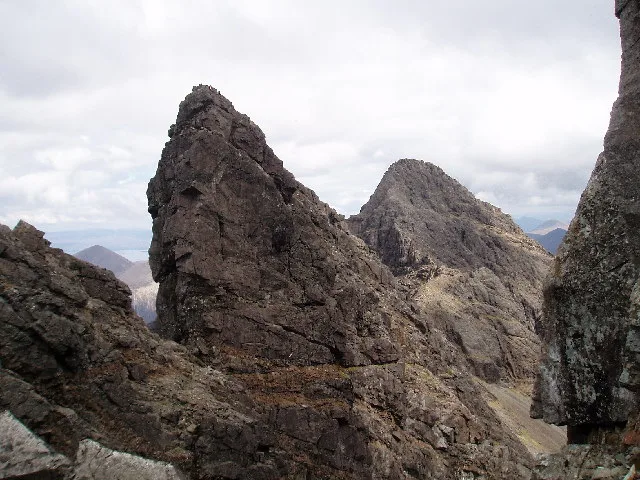
Am Basteir
Am Basteir — 934m high mountain in Highland, Scotland, UK.
 📷 3
📷 3Natural landmarks · Scottish Islands
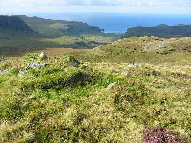
Arnaval
Arnaval — mountain on the Isle of Skye, in Highland, Scotland, UK.
 📷 5
📷 5Natural landmarks · Scottish Islands
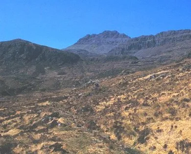
Askival
Askival — 812m high mountain in Highland, Scotland, UK.
 📷 5
📷 5Natural landmarks · Scottish Islands
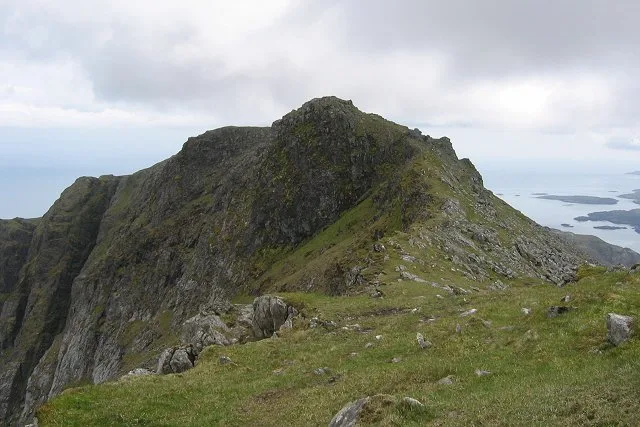
Beinn Mhòr
Beinn Mhòr — 620m high mountain on South Uist, Outer Hebrides, Scotland, UK.
Frequently asked questions
- Where is Loch na Làthaich?
- Loch na Làthaich is in the Scottish Highlands, United Kingdom (postcode PA67 6DA).
- What is Loch na Làthaich?
- Loch na Làthaich — a natural feature in scotland highlands.
- How do I get to Loch na Làthaich?
- Drivers can use postcode PA67 6DA.
- How do I get to Loch na Làthaich?
- Drivers can navigate to postcode PA67 6DA. It sits within the Argyll, Bute and South Lochaber parliamentary constituency.