
Historic churches · North Wales
Llangwyllog
In or near Llanfairpwllgwyngyll.
Llangwyllog () is a small village and ancient parish in the centre of Anglesey, Wales. It was also a civil parish, and remained as a community until 1984. It is found three miles to the north of the i

Eric Jones — CC BY-SA 2.0 via Wikimedia Commons licence

Plan your visit
- Typical visit
- 30 min–1 h
- Nearest railway station
- Bodorgan · 9.9 km
- Free entry
Getting there & planning your visit
To visit Llangwyllog, the nearest railway station is Bodorgan, which is approximately 9.9 km away. The postcode for sat-nav is LL77 7HQ, and entry to the church is free.
About
Llangwyllog () is a small village and ancient parish in the centre of Anglesey, Wales. It was also a civil parish, and remained as a community until 1984. It is found three miles to the north of the island's capital, Llangefni, and two miles north of Llyn Cefni, the island's second largest body of water. The settlement was once far more important than it is today, reaching a population of 277 in 1821, whereas the 1971 census showed only 75 people living there. The Anglesey Central Railway used to operate a station in the village until its closure in 1993. The tracks however still run through the village and there is a significant railway cutting in the village. The parish church is St Cwyllog's Church, Llangwyllog; the first church here was founded by St Cwyllog in the 6th century. One historic event said to have taken place here in 1134 was a battle between Owain Gwynedd, the first king of Wales, and the armies of the Erse, Manx and Norsemen, who had invaded the island. In the end the Welsh leader was triumphant.
Photo gallery
From the Wikipedia article
Llangwyllog () is a small village and ancient parish in the centre of Anglesey, Wales. It was also a civil parish, and remained as a community until 1984. It is found three miles to the north of the island's capital, Llangefni, and two miles north of Llyn Cefni, the island's second largest body of water. The settlement was once far more important than it is today, reaching a population of 277 in 1821, whereas the 1971 census showed only 75 people living there. The Anglesey Central Railway used to operate a station in the village until its closure in 1993. The tracks however still run through the village and there is a significant railway cutting in the village. The parish church is St Cwyllog's Church, Llangwyllog; the first church here was founded by St Cwyllog in the 6th century. One historic event said to have taken place here in 1134 was a battle between Owain Gwynedd, the first king of Wales, and the armies of the Erse, Manx and Norsemen, who had invaded the island. In the end the Welsh leader was triumphant.
Excerpt from Wikipedia under CC BY-SA 4.0. See the source article linked in Sources below.
- Coordinates
- 53.2824, -4.3453
- District
- Isle of Anglesey
- Parish
- Llanddyfnan
- Postcode
- LL77 7HQ
- Parliamentary constituency
- Ynys Môn
- Nearest railway station
- Bodorgan — 9.9 km
Sources
- wikipedia: Llangwyllog (CC BY-SA 4.0)
Other places nearby
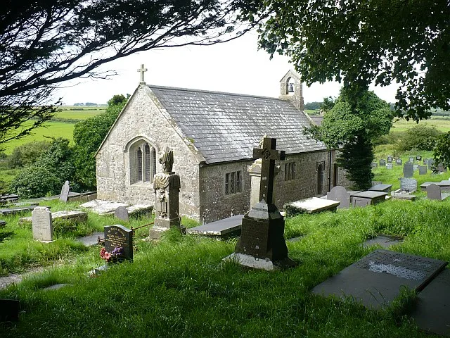
St Cwyllog's Church, Llangwyllog
Historic churches · 1.0 km
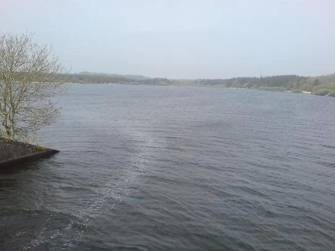
Llyn Cefni
Reservoirs & lochs · 1.4 km
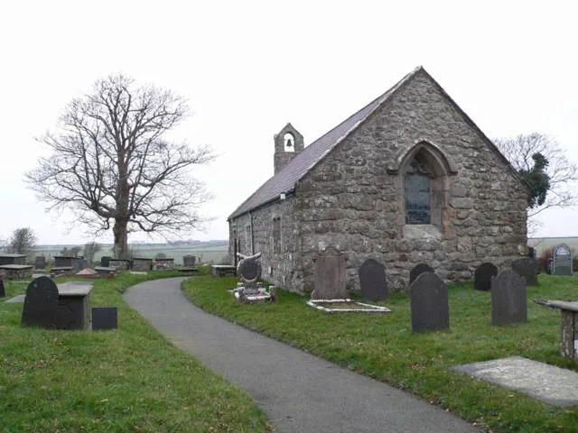
St Caian's Church
Historic churches · 1.7 km

Melin Frogwy
Windmills · 1.8 km

Bridge at Plas Tregayan
Historic bridges · 2.2 km

Coedana
Villages · 2.4 km
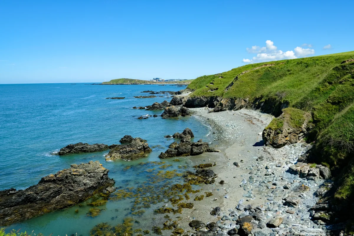
Anglesey
Islands · 2.4 km

Rhosmeirch
Historic churches · 2.5 km

Bodffordd
Historic churches · 2.6 km

Tre-Ysgawen Hall
Hotels · 2.7 km

The Dingle
Wildlife reserves · 2.8 km
St Llwydian's Church
Historic churches · 3.0 km
Nearby
📷 3Historic churches · North Wales
St Cwyllog's Church, Llangwyllog
St Cwyllog's Church, Llangwyllog — church in Llangwyllog, Anglesey, Wales.
📷 3📷 3Historic churches · North Wales
St Caian's Church
St Caian's Church — church in Tregaian, Anglesey, Wales.
📷 5Windmills · North Wales
Melin Frogwy
Melin Frogwy — Grade II listed building-listed windmill in wales-north, United Kingdom.
📷 5Historic bridges · North Wales
Bridge at Plas Tregayan
Bridge at Plas Tregayan — Grade II listed building-listed bridge in wales-north, United Kingdom.
📷 5Where to eat & stay near Llangwyllog
Places to stay
📷 5 📷 5
📷 5
Campsites · North Wales
Caeau Ty'n Talwrn - Scout Campsite
Caeau Ty'n Talwrn - Scout Campsite — a campsite in wales north.

Caravan parks · North Wales
Caravan amd Motorhome Club Penrhos
Caravan amd Motorhome Club Penrhos — a caravan park in wales north.
Caravan parks · North Wales
Ad Astra Caravan Park
Ad Astra Caravan Park — a caravan park in wales north.
 📷 5
📷 5Places to eat & drink
 📷 5
📷 5Historic pubs · North Wales
The Bull Hotel, Llangefni
The Bull Hotel, Llangefni in Wales North, United Kingdom.
 📷 5
📷 5 📷 5
📷 5Restaurants · North Wales
Oyster Catcher
Oyster Catcher — a restaurant in wales north.
 📷 5
📷 5Historic pubs · North Wales
The Kings Head Hotel
The Kings Head Hotel in Wales North, United Kingdom.
 📷 5
📷 5 📷 5
📷 5More places in this region
 📷 3
📷 3Historic churches · North Wales
All Saints Church
All Saints Church — Anglican church in Deganwy, Wales.
 📷 3
📷 3Historic churches · North Wales
All Saints Church, Great Saughall
All Saints Church, Great Saughall — grade II listed church in Saughall, Cheshire West and Chester, Cheshire, England, UK.
 📷 3
📷 3Historic churches · North Wales
All Saints Church, Higher Kinnerton
All Saints Church, Higher Kinnerton — church in United Kingdom.
 📷 3
📷 3Historic churches · North Wales
All Saints' Church, Gresford
All Saints' Church, Gresford — church in Gresford, north Wales.
Frequently asked questions
- Where is Llangwyllog?
- Llangwyllog is in North Wales, United Kingdom (postcode LL77 7HQ), in the parish of Llanddyfnan.
- What is Llangwyllog?
- Llangwyllog () is a small village and ancient parish in the centre of Anglesey, Wales. It was also a civil parish, and remained as a community until 1984. It is found three miles to the north of the i
- How do I get to Llangwyllog?
- The nearest railway station is Bodorgan, about 9.9 km away. Drivers can use postcode LL77 7HQ.
- Is Llangwyllog free to visit?
- Yes, Llangwyllog is free to enter.
- How do I get to Llangwyllog?
- Drivers can navigate to postcode LL77 7HQ. It sits within the Ynys Môn parliamentary constituency.