
Historic churches · Mid Wales
Llandrinio
In or near Llanyblodwel.
Llandrinio is a small village and community in Montgomeryshire, Powys, Wales, close to the Wales-England border. It is situated on the B4393 road which travels from the village of Ford, Shropshire to

Derek Harper — CC BY-SA 2.0 via Wikimedia Commons licence

Plan your visit
- Typical visit
- 30 min–1 h
- Nearest railway station
- Penygarreg Lane Halt · 6.2 km
- Free entry
Getting there & planning your visit
To visit Llandrinio, the nearest railway station is Penygarreg Lane Halt, which is 6.2 km away. The postcode for sat-nav is SY22 6SG, and entry to the church is free.
About
Llandrinio is a small village and community in Montgomeryshire, Powys, Wales, close to the Wales-England border. It is situated on the B4393 road which travels from the village of Ford, Shropshire to Lake Vyrnwy. The community, Llandrinio and Arddleen includes Arddlin and a small part of Four Crosses, Powys. At the 2011 census, Llandrinio community had a population of 1,485. The mainly Norman church of St Trunio is a Grade II* listed building. The village has a village hall and a playing field, which is used by the local cricket team and the junior football teams. The annual carnival has been opened by well-known faces such as actor Ryan Thomas. The River Severn and Offa's Dyke both run through the village. The river is crossed by Llandrinio Bridge which leads to the hamlet of Crew Green, about a mile east of the village and close to English border. The village is also road linked to the towns of Welshpool, Oswestry, Newtown and Shrewsbury.
Photo gallery
From the Wikipedia article
Llandrinio is a small village and community in Montgomeryshire, Powys, Wales, close to the Wales-England border. It is situated on the B4393 road which travels from the village of Ford, Shropshire to Lake Vyrnwy. The community, Llandrinio and Arddleen includes Arddlin and a small part of Four Crosses, Powys. At the 2011 census, Llandrinio community had a population of 1,485. The mainly Norman church of St Trunio is a Grade II* listed building. The village has a village hall and a playing field, which is used by the local cricket team and the junior football teams. The annual carnival has been opened by well-known faces such as actor Ryan Thomas. The River Severn and Offa's Dyke both run through the village. The river is crossed by Llandrinio Bridge which leads to the hamlet of Crew Green, about a mile east of the village and close to English border. The village is also road linked to the towns of Welshpool, Oswestry, Newtown and Shrewsbury.
Excerpt from Wikipedia under CC BY-SA 4.0. See the source article linked in Sources below.
- Coordinates
- 52.7461, -3.0384
- District
- Powys
- Parish
- Llandrinio
- Postcode
- SY22 6SG
- Parliamentary constituency
- Montgomeryshire and Glyndwr
- Nearest railway station
- Penygarreg Lane Halt — 6.2 km
Sources
- wikipedia: Llandrinio (CC BY-SA 4.0)
Other places nearby
Llandrinio Bridge
Historic bridges · 0.2 km

St Trunio's Church
Historic churches · 0.4 km

Domen Gastell
Literary houses · 0.6 km

Llandrinio
Villages · 0.9 km

Criggion Bridge, Criggion Bridge
Historic bridges · 1.5 km

Church Of St Michael And All Angels, Criggion
Historic churches · 1.9 km
Criggion
Historic churches · 2.2 km

Bausley with Criggion
Historic churches · 2.5 km

Breidden Hill
Mountains & hills · 2.6 km

Breiddin hillfort
Vineyards · 2.6 km

Rodney's Pillar
Memorials & monuments · 2.6 km

Big Bear Lodge
Campsites · 2.7 km
Nearby
📷 5Historic bridges · Mid Wales
Llandrinio Bridge
Llandrinio Bridge — scheduled monument-listed bridge in wales-north, United Kingdom.
📷 5Historic churches · Mid Wales
St Trunio's Church
St Trunio's Church — Grade II* listed building-listed church in wales-north, United Kingdom.
📷 5📷 5📷 4Historic bridges · Mid Wales
Criggion Bridge, Criggion Bridge
Criggion Bridge, Criggion Bridge — Grade II listed building-listed bridge in wales-north, United Kingdom.
📷 5Historic churches · Mid Wales
Church Of St Michael And All Angels, Criggion
Church Of St Michael And All Angels, Criggion — Grade II* listed building-listed church in wales-north, United Kingdom.
Where to eat & stay near Llandrinio
Places to stay
📷 5 📷 5
📷 5Caravan parks · Mid Wales
Church House Caravan & Camping Site
Church House Caravan & Camping Site — a caravan park in wales north.
 📷 5
📷 5 📷 5
📷 5Campsites · Mid Wales
Brook House Farm
Brook House Farm — a campsite in wales north.
 📷 5
📷 5Caravan parks · North Wales
Brookside Mobile Home Park
Brookside Mobile Home Park — a caravan park in wales north.
 📷 5
📷 5Caravan parks · Mid Wales
Bank Farm Caravan Park Welshpool
Bank Farm Caravan Park Welshpool — a caravan park in wales north.
Places to eat & drink
 📷 5
📷 5Historic pubs · North Wales
Butcher's Arms Public House
Butcher's Arms Public House in Wales North, United Kingdom.
 📷 7
📷 7 📷 7
📷 7 📷 5
📷 5Historic pubs · West Midlands
Admiral Benbow Public House
Admiral Benbow Public House in Wales North, United Kingdom.
 📷 7
📷 7Historic pubs · West Midlands
The Hole In The Wall Public House
The Hole In The Wall Public House in Wales North, United Kingdom.
 📷 7
📷 7More places in this region
 📷 3
📷 3Historic churches · Mid Wales
Church of St Peter
Church of St Peter — Grade I listed church, Shropshire, England, UK.
 📷 4
📷 4Historic churches · Mid Wales
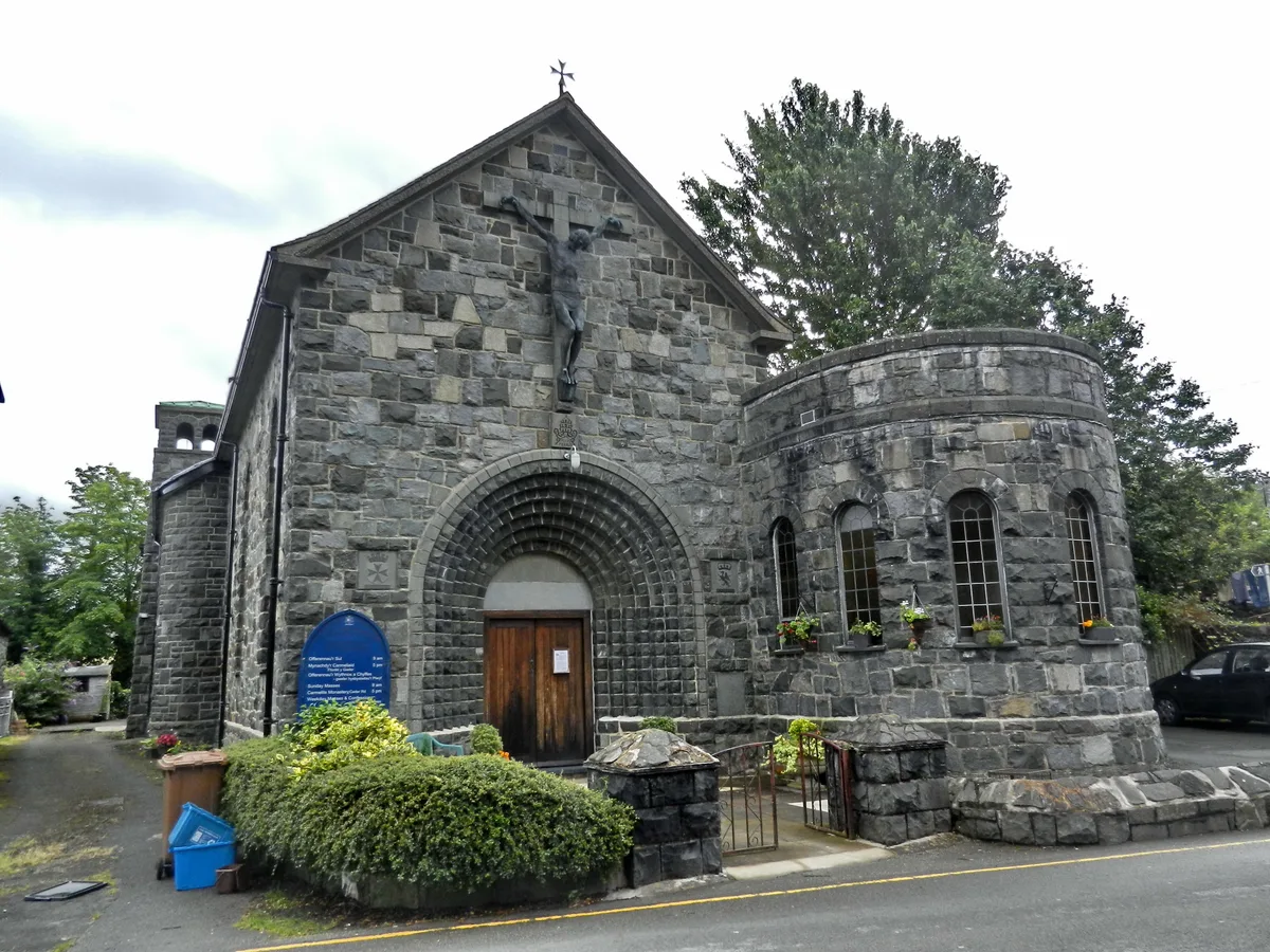
Our Lady of Seven Sorrows Church
Our Lady of Seven Sorrows Church — church in Dolgellau, Wales.
 📷 4
📷 4Historic churches · Mid Wales
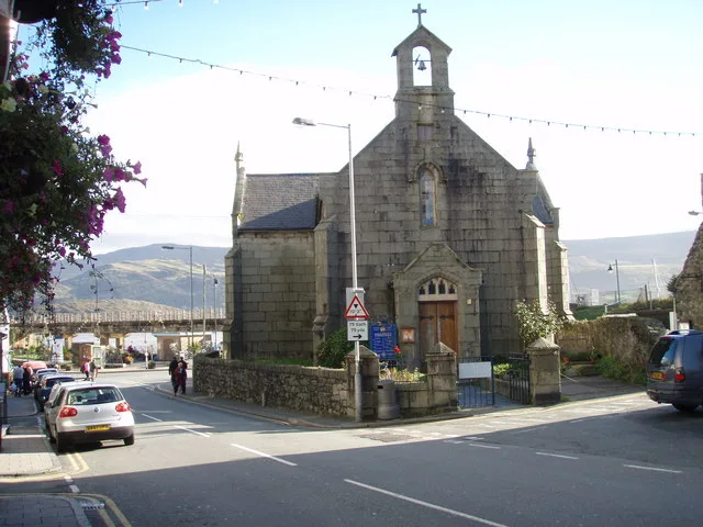
St David's Church
St David's Church — church in Barmouth, Gwynedd, Wales.
 📷 5
📷 5Historic churches · Mid Wales
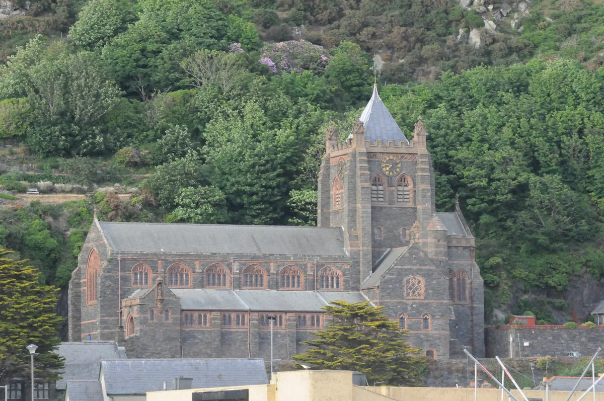
St John's Church
St John's Church — church in Barmouth, north Wales.
Frequently asked questions
- Where is Llandrinio?
- Llandrinio is in North Wales, United Kingdom (postcode SY22 6SG), in the parish of Llandrinio.
- What is Llandrinio?
- Llandrinio is a small village and community in Montgomeryshire, Powys, Wales, close to the Wales-England border. It is situated on the B4393 road which travels from the village of Ford, Shropshire to
- How do I get to Llandrinio?
- The nearest railway station is Penygarreg Lane Halt, about 6.2 km away. Drivers can use postcode SY22 6SG.
- Is Llandrinio free to visit?
- Yes, Llandrinio is free to enter.
- How do I get to Llandrinio?
- The nearest railway station is Penygarreg Lane Halt, about 6.2 km away. Drivers can navigate to postcode SY22 6SG.