
Mountains & hills · North West England
Liverpool Bay
Also known as: Bae Lerpwl
Liverpool Bay — bay of the Irish Sea.

Wikimedia Commons contributors — see linked file page for photographer and licence licence

Plan your visit
- Typical visit
- 3 h–8 h
- Best time of year
- Late spring – early autumn (May–Oct)
- Nearest railway station
- Formby · 8.8 km
- Free entry
- Dog-friendly
Getting there & planning your visit
To visit Liverpool Bay, the nearest railway station is Formby, which is 8.8 km away. Entry is free.
About
Liverpool Bay is a named summit in the United Kingdom. Part of Irish Sea. Wikidata describes it as: "bay of the Irish Sea". Coordinates: 53.5333°, -3.2000°.
Photo gallery
From the Wikipedia article
Liverpool Bay is a bay of the Irish Sea between northeast Wales, Cheshire, Lancashire and Merseyside to the east of the Irish Sea. The bay is a classic example of a region of freshwater influence. Liverpool Bay has historically suffered from reduced oxygen content from prior massive discharges of sewage sludge, according to C. Michael Hogan. The rivers Alt, Clwyd, Dee, Ribble and Mersey drain into the bay. The bay is littered with wrecks and has many dive sites. The bay also contains several oil and gas fields including the Douglas Complex, with a combined daily capacity (January 2008) of 60,000 barrels. The UK's first major offshore wind farm, North Hoyle, is located in the south of the bay, which is a busy shipping route to the Mersey Docks. The land area around the bay is occasionally referred to as the "Liverpool Bay Area". Though the term is seen by some as a possible official alternative to Merseyside, it is more often used to describe a much wider area which may include the West Lancashire towns of Ormskirk and Skelmersdale to the north, St Helens and Warrington to the east and Chester plus North Wales to the south. In this sense, it is often promoted by local thinkers and urbanists to encourage regional co-operation in both economic and cultural terms. It is not recognised by the British Government as a strategic economic sub-region, however. Despite having its advocates, the term is still not particularly common in the area. The English portion of the Liverpool Bay land area is one of the 120 natural areas into which England is divided by Natural England for nature conservation purposes.
Excerpt from Wikipedia under CC BY-SA 4.0. See the source article linked in Sources below.
- Coordinates
- 53.5333, -3.2000
- Nearest railway station
- Formby — 8.8 km
Sources
- wikidata: Q3395428 (CC0)
- wikipedia: Liverpool Bay (CC BY-SA 4.0)
- commons: Liverpool Bay.png (CC BY-SA 4.0)
Other places nearby

Ionic Star (Shipwreck)
Museums · 5.2 km

Taylor's Bank
Beaches · 5.6 km

Formby Lifeboat Station
Historic houses · 6.6 km
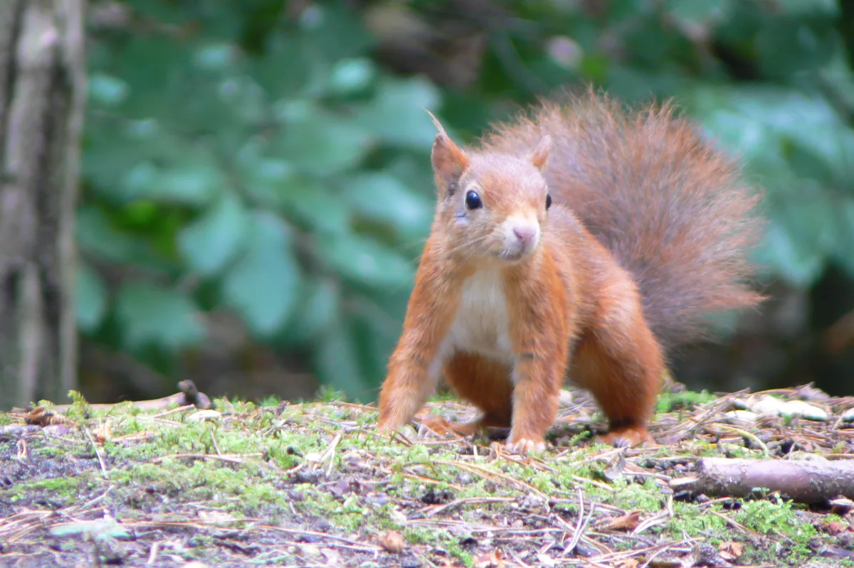
Formby Red Squirrel Reserve
Wildlife reserves · 7.1 km

Formby Point Caravan Park
Caravan parks · 7.2 km
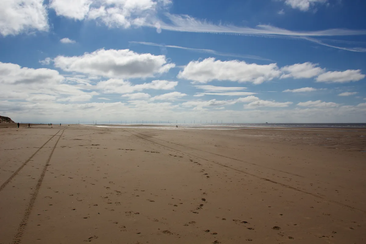
Formby Beach
Beaches · 7.7 km

Formby Red Squirrel Reserve
Wildlife reserves · 7.7 km

Cabin Hill National Nature Reserve
Wildlife reserves · 7.7 km

Freshfield Caravan Park
Caravan parks · 8.1 km

Formby Lighthouse
Lighthouses · 8.8 km

Formby Golf Club
Golf courses · 9.1 km

Formby
Museums · 9.3 km
Nearby
📷 5Museums · North West England
Ionic Star (Shipwreck)
Ionic Star (Shipwreck) — a museum in North West England, United Kingdom.
📷 3📷 3Historic houses · North West England
Formby Lifeboat Station
Formby Lifeboat Station — a historic house in North West England, United Kingdom.
📷 3Wildlife reserves · North West England
Formby Red Squirrel Reserve
Formby Red Squirrel Reserve — Varied habitats including woodland and beach.
📷 5Caravan parks · North West England
Formby Point Caravan Park
Formby Point Caravan Park — a caravan park in england north west.
📷 3Where to eat & stay near Liverpool Bay
Places to stay
📷 5Caravan parks · North West England
Formby Point Caravan Park
Formby Point Caravan Park — a caravan park in england north west.
📷 5Caravan parks · North West England
Freshfield Caravan Park
Freshfield Caravan Park — a caravan park in england north west.
 📷 5
Caravan parks · North West England
Willowbank Caravan Park
Willowbank Caravan Park — a caravan park in england north west.
 📷 5
Caravan parks · North West England
Plex Moss Caravan Park
Plex Moss Caravan Park — a caravan park in england north west.
 📷 5
Caravan parks · North West England
Park Lane Caravan Park
Park Lane Caravan Park — a caravan park in wales north.
 📷 5
Caravan parks · North West England
Southport Caravan Club Site
Southport Caravan Club Site — a caravan park in england north west.
Places to eat & drink
 📷 5
Historic pubs · North West England
Former bank and residence
Former bank and residence in Wales North, United Kingdom.
 📷 5
Historic pubs · North West England
That Part Of The Brighton Public House Contained Within Buchanan Road The Brighton Public House
That Part Of The Brighton Public House Contained Within Buchanan Road The Brighton Public House in Wales North, United Kingdom.
 📷 5
Historic pubs · North West England
Throstles Nest Hotel, Scotland Road
Throstles Nest Hotel, Scotland Road in Wales North, United Kingdom.
 📷 5
Restaurants · North West England
Panoramic (restaurant)
Panoramic 34 is a restaurant and bar located on the 34th floor of West Tower, Liverpool. It is 300 feet above ground and claims to be 'one of the UK's highest restaurants' with views as far away as No
 📷 5
Historic pubs · North West England
Rigby's Buildings
Rigby's Buildings in Wales North, United Kingdom.
 📷 5
Historic pubs · North West England
The Copperfield Public House
The Copperfield Public House in Wales North, United Kingdom.
More mountains in this region
 📷 5
Mountains & hills · North West England
Appleton Park
Appleton Park — a hill or mountain in england west midlands.
 📷 5
Mountains & hills · North West England
High Warren
High Warren — mountain in england west midlands. Elevation: 105 m.
 📷 5
Mountains & hills · North West England
Alderley Edge
Alderley Edge — mountain in england west midlands. Elevation: 194 m.
 📷 3
Frequently asked questions
- Where is Liverpool Bay?
- Liverpool Bay is in North-West England, United Kingdom.
- What is Liverpool Bay?
- Liverpool Bay — bay of the Irish Sea.
- How do I get to Liverpool Bay?
- The nearest railway station is Formby, about 8.8 km away. Its coordinates are 53.5333°, -3.2000°.
- Is Liverpool Bay free to visit?
- Yes, Liverpool Bay is free to enter.