Mountains & hills · North West England
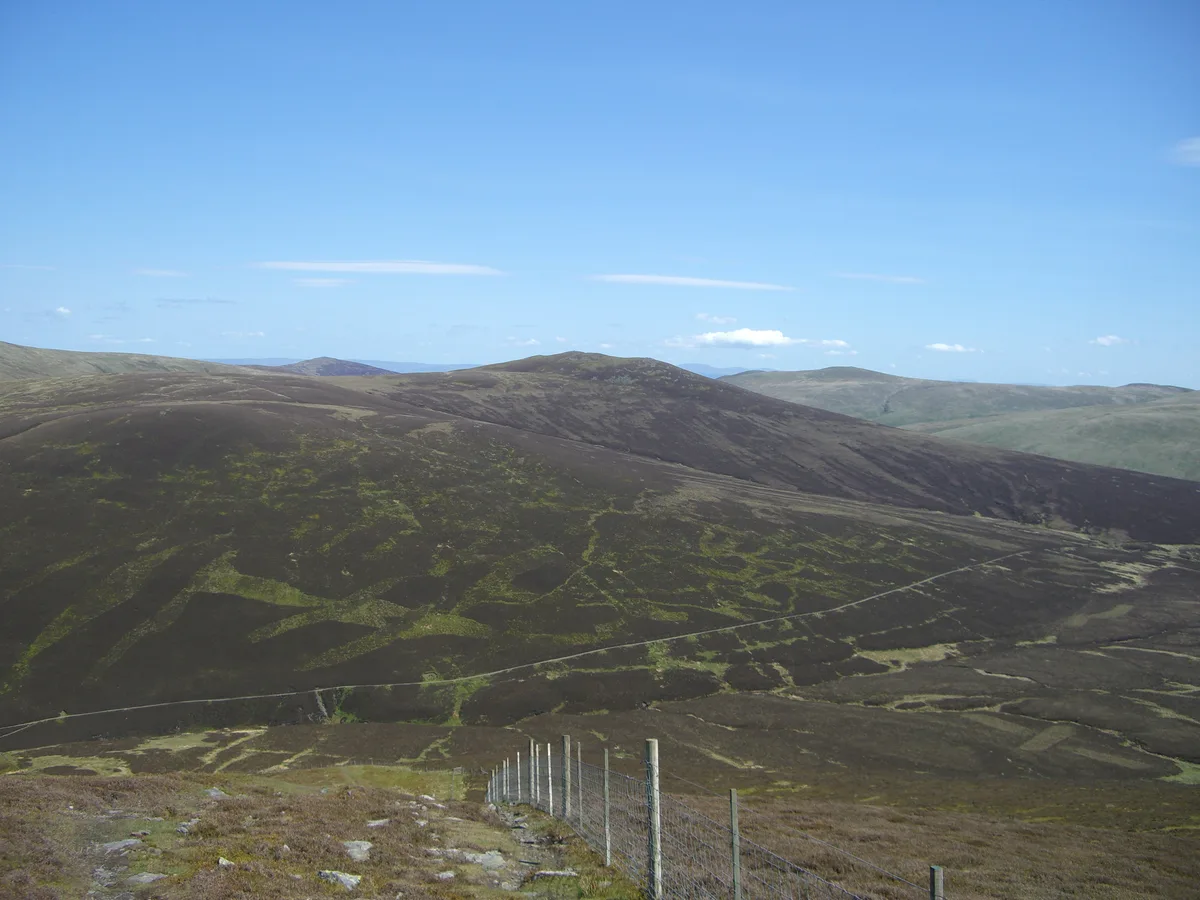
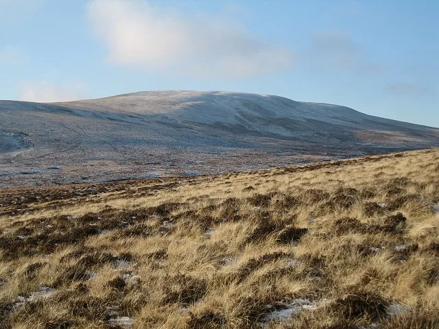
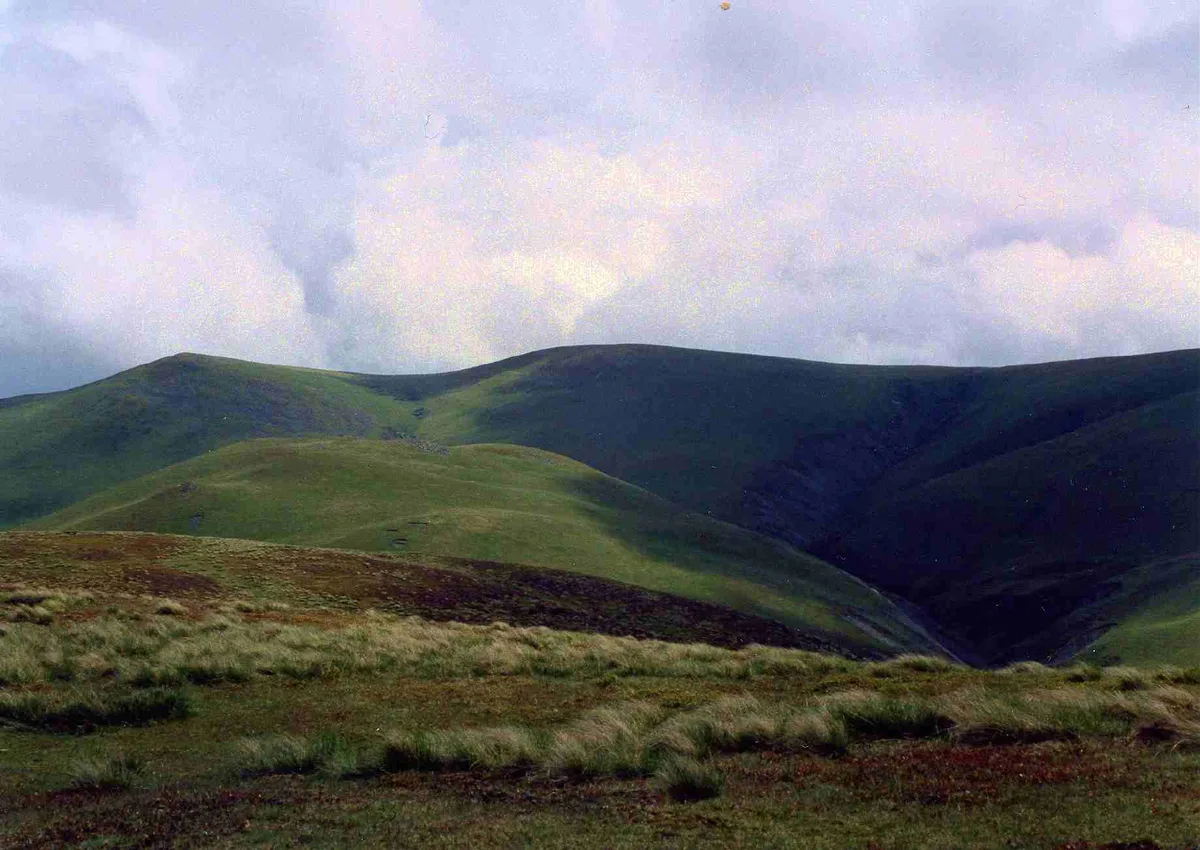
Little Calva
In or near Bassenthwaite.
Little Calva — Named summit at 642 m.

Wikimedia Commons contributors — see linked file page for photographer and licence licence
Plan your visit
- Typical visit
- 3 h–8 h
- Best time of year
- Late spring – early autumn (May–Oct)
- Nearest railway station
- Threlkeld Quarry Station · 8.3 km
- Free entry
- Dog-friendly
Getting there & planning your visit
To visit Little Calva, the nearest railway station is Threlkeld Quarry Station, located 8.3 km away. Entry is free. Please note that there are no specific accessibility details provided.
About
Little Calva is a named summit in the United Kingdom. Wikidata describes it as: "Named summit at 642 m.". Coordinates: 54.6733°, -3.1145°.
Photo gallery
Protected designations
- Site of Special Scientific Interest: Skiddaw Group SSSI
- Site of Special Scientific Interest: River Derwent and Tributaries SSSI
Designations sourced from Natural England open data under OGL v3.
From the Wikipedia article
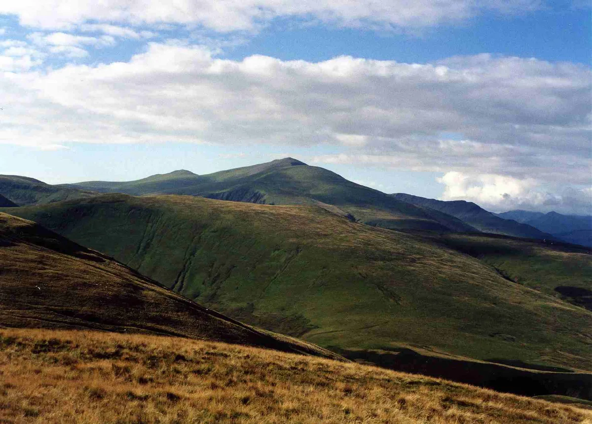
Great Calva is a fell in the Lake District, England. It is in the Northern Fells, lying roughly at the centre of this region of high ground. As a result, it is distant from roads and quite remote by Lakeland standards. Great Calva stands at the head of a major geological fault running through the centre of the Lake District, and so from the summit it is possible to see all the way south over Thirlmere. The subsidiary summit of Little Calva lies to the west. It is in the centre of the Skiddaw Group SSSI.
Excerpt from Wikipedia under CC BY-SA 4.0. See the source article linked in Sources below.
- Coordinates
- 54.6733, -3.1145
- Address
- Cumbria, England
- Nearest railway station
- Threlkeld Quarry Station — 8.3 km
Sources
- osm: n4523041823 (ODbL)
- wikipedia: Great Calva (CC BY-SA 4.0)
- commons: Great Calva from Bakestall.jpg (CC BY-SA 4.0)
Other places nearby

Great Calva
Mountains & hills · 0.9 km
Great Calva
Natural landmarks · 0.9 km

Whitewater Dash / Dash Falls
Waterfalls · 1.0 km

Bakestall (Wainwright summit)
Mountains & hills · 1.7 km

Bakestall
Mountains & hills · 1.8 km

Bakestall
Natural landmarks · 1.8 km

Knott
Natural landmarks · 2.0 km

Great Cockup
Natural landmarks · 2.0 km
Great Cockup
Mountains & hills · 2.0 km
Knott
Mountains & hills · 2.0 km

Meal Fell
Natural landmarks · 2.2 km
Meal Fell
Mountains & hills · 2.3 km
Nearby
📷 3📷 3📷 5Waterfalls · North West England
Whitewater Dash / Dash Falls
Whitewater Dash / Dash Falls — waterfall in scotland lowlands.
📷 5Mountains & hills · North West England
Bakestall (Wainwright summit)
Bakestall (Wainwright summit) — mountain in scotland lowlands. Elevation: 667.5 m.
📷 3📷 3Where to eat & stay near Little Calva
Places to stay
 📷 5
📷 5Hostels · North West England
YHA Skiddaw Bunkhouse
YHA Skiddaw Bunkhouse — a hostel in scotland lowlands.
 📷 5
📷 5Caravan parks · North West England
High Close Holiday Homes
High Close Holiday Homes — a caravan park in scotland lowlands.
 📷 5
📷 5Caravan parks · North West England
Robin Hood Park
Robin Hood Park — a caravan park in scotland lowlands.
 📷 5
📷 5Caravan parks · North West England
Trafford Caravan Park
Trafford Caravan Park — a caravan park in scotland lowlands.
 📷 5📷 5
Hostels · North West England
Blencathra Field Centre (Main House)
Blencathra Field Centre (Main House) — a hostel in scotland lowlands.
Places to eat & drink
 📷 5
📷 5 📷 7
📷 7Historic pubs · North West England
The Pheasant Inn
The Pheasant Inn in Scotland Lowlands, United Kingdom.
 📷 4
📷 4Historic pubs · North West England
Oddfellows Arms
Oddfellows Arms — Historic pub — listed building or notable heritage status.
 📷 7
📷 7Cafés · North West England
Grange Bridge Cottage
Grange Bridge Cottage — a café in england north east.
 📷 5
📷 5Historic pubs · North West England
Kings Arms Walter Willsons
Kings Arms Walter Willsons in Scotland Lowlands, United Kingdom.
 📷 5
📷 5Historic pubs · North West England
Horse And Farrier Inn And Stables
Horse And Farrier Inn And Stables in Scotland Lowlands, United Kingdom.
More mountains in this region
 📷 5
📷 5Mountains & hills · North West England
Appleton Park
Appleton Park — a hill or mountain in england west midlands.
 📷 5
📷 5Mountains & hills · North West England
High Warren
High Warren — mountain in england west midlands. Elevation: 105 m.
 📷 5
📷 5Mountains & hills · North West England
Alderley Edge
Alderley Edge — mountain in england west midlands. Elevation: 194 m.
 📷 3
📷 3Frequently asked questions
- Where is Little Calva?
- Little Calva is in the Scottish Lowlands, United Kingdom.
- What is Little Calva?
- Little Calva — Named summit at 642 m.
- How do I get to Little Calva?
- The nearest railway station is Threlkeld Quarry Station, about 8.3 km away. Its coordinates are 54.6733°, -3.1145°.
- Is Little Calva a protected site?
- Yes — Little Calva is part of the Skiddaw Group SSSI Site of Special Scientific Interest and the River Derwent and Tributaries SSSI Site of Special Scientific Interest.
- Is Little Calva free to visit?
- Yes, Little Calva is free to enter.