
Towns & cities · Northern Ireland
Lislea
Lislea — village in County Armagh, Northern Ireland, UK.

Wikimedia Commons contributors — see linked file page for photographer and licence licence

Plan your visit
- Typical visit
- 3 h–6 h
- Nearest railway station
- Newry · 7.0 km
- Free entry
- Family-friendly
- Dog-friendly
Getting there & planning your visit
To visit Lislea, the nearest railway station is Newry, located 7 km away. The postcode for Lislea is BT35 9US, which you can use for sat-nav. Entry to the area is free.
About
Lislea is a town, city, village or settlement in the United Kingdom. Wikidata describes it as: "village in County Armagh, Northern Ireland, UK". Coordinates: 54.1590°, -6.4580°.
Photo gallery
From the Wikipedia article
Lislea ( liss-LAY, from Irish Lios Liath, meaning 'Grey Ringfort') is a small village and townland near Slieve Gullion in County Armagh, Northern Ireland. It is within the civil parish of Killevy and the historic barony of Orior Upper. Today it is within the Newry, Mourne and Down District Council area. It borders the townlands of Ballard, Carricnagalliagh, Aghmakane, Duburren and Drumilly. In the 2001 Census it had a population of 84 people.
Excerpt from Wikipedia under CC BY-SA 4.0. See the source article linked in Sources below.
Background
History
Lislea, along with the rest of South Armagh, would have been transferred to the Irish Free State had the recommendations of the Irish Boundary Commission been enacted in 1925. On 18 May 1984, two members of the Royal Ulster Constabulary were killed in a Provisional Irish Republican Army land mine attack.
Sourced from Wikipedia under CC BY-SA 4.0.
- Coordinates
- 54.1590, -6.4580
- District
- Newry, Mourne and Down
- Postcode
- BT35 9US
- Parliamentary constituency
- Newry and Armagh
- Nearest railway station
- Newry — 7 km
Sources
- wikidata: Q1702647 (CC0)
- wikipedia: Lislea (CC BY-SA 4.0)
- commons: Lislea Chapel - geograph.org.uk - 1564217.jpg (CC BY-SA 4.0)
Other places nearby

Sugarloaf Hill
Mountains & hills · 1.1 km

Milltown
Villages · 1.1 km

Belleeks
Towns & cities · 1.9 km

Ballard
Natural landmarks · 2.1 km

Camlough Reservoir
Reservoirs & lochs · 2.9 km

Keggall Picnic Area
Natural landmarks · 3.0 km

Orior Upper
Natural landmarks · 3.2 km

In-Flux
Public art & sculpture · 3.3 km
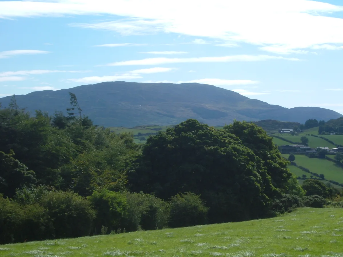
Slieve Gullion
Natural landmarks · 3.3 km

Ballykeel Dolmen and Cairn
Burial mounds & barrows · 3.3 km

Ballykeel Dolmen
Burial mounds & barrows · 3.3 km

Drumilly Fort
Archaeological sites · 3.4 km
Lislea is a town located in Northern Ireland, offering visitors a chance to explore its scenic surroundings. You can enjoy the natural beauty of Orior Upper and Slieve Gullion, or take a stroll through the nearby village of Milltown. These local landmarks provide a peaceful setting for a relaxing day out.
At a glance
- Constituency
- Newry and Armagh
- Top categories near here
Things to see in Lislea
6 attractions within 12 km.
📷 3Natural landmarks · Northern Ireland
Slieve Gullion
Slieve Gullion is a natural landmark in the United Kingdom.
📷 3📷 4Natural landmarks · Northern Ireland
Orior Upper
Orior Upper in Northern Ireland, United Kingdom.
📷 5📷 5Reservoirs & lochs · Northern Ireland
Camlough Reservoir
Camlough Reservoir — a reservoir in northern ireland.
📷 5Mountains & hills · Northern Ireland
Sugarloaf Hill
Sugarloaf Hill — a hill or mountain in northern ireland.
Nearby
📷 5Mountains & hills · Northern Ireland
Sugarloaf Hill
Sugarloaf Hill — a hill or mountain in northern ireland.
📷 5📷 3Towns & cities · Northern Ireland
Belleeks
Belleeks — village in County Armagh, Northern Ireland, UK.
📷 3📷 5Reservoirs & lochs · Northern Ireland
Camlough Reservoir
Camlough Reservoir — a reservoir in northern ireland.
📷 3Natural landmarks · Northern Ireland
Keggall Picnic Area
Keggall Picnic Area — a place in Northern Ireland, United Kingdom.
Where to eat & stay near Lislea
Places to stay
 📷 5
📷 5Caravan parks · Northern Ireland
Slieve Gullion Getaways
Slieve Gullion Getaways — a caravan park in northern ireland.
 📷 5
📷 5 📷 5
📷 5 📷 5
📷 5Hostels · Northern Ireland
Kilbroney Youth Centre C.O.I
Kilbroney Youth Centre C.O.I — a hostel in northern ireland.
 📷 5
📷 5Caravan parks · Northern Ireland
Kilbroney Caravan Park
Kilbroney Caravan Park — a caravan park in northern ireland.
 📷 5
📷 5Caravan parks · Northern Ireland
Touring in the Trees - Kilbroney
Touring in the Trees - Kilbroney — a caravan park in northern ireland.
More towns in this region
 Flagship📷 5
Towns & cities · Northern Ireland
Bangor
Bangor — city in Northern Ireland, United Kingdom.
 Flagship📷 5
Towns & cities · Northern Ireland
Belfast
Belfast — capital city of Northern Ireland.
 Flagship📷 3
 Flagship📷 5
Towns & cities · Northern Ireland
Lisburn
Lisburn — city in Northern Ireland.
Frequently asked questions
- Where is Lislea?
- Lislea is in Northern Ireland, United Kingdom (postcode BT35 9US).
- What is Lislea?
- Lislea — village in County Armagh, Northern Ireland, UK.
- How do I get to Lislea?
- The nearest railway station is Newry, about 7.0 km away. Drivers can use postcode BT35 9US.
- Is Lislea free to visit?
- Yes, Lislea is free to enter.
- How do I get to Lislea?
- The nearest railway station is Newry, about 7.0 km away. Drivers can navigate to postcode BT35 9US.