
Natural landmarks · Central Scotland
Linlithgow Loch
In or near Torphichen.
Linlithgow Loch — lake in West Lothian, Scotland, UK.

Wikimedia Commons contributors — see linked file page for photographer and licence licence
.jpg)
Plan your visit
- Typical visit
- 1 h–2 h
- Nearest railway station
- Linlithgow · 0.5 km
- Free entry
- Dog-friendly
Getting there & planning your visit
To visit Linlithgow Loch, the nearest railway station is Linlithgow, located 0.5 km away. The postcode for sat-nav is EH49 7AL, and entry to the loch is free.
About
Linlithgow Loch is a named natural landmark in the United Kingdom. Heritage designation: Site of Special Scientific Interest. Wikidata describes it as: "lake in West Lothian, Scotland, UK". Coordinates: 55.9806°, -3.6000°.
Photo gallery
From the Wikipedia article
Linlithgow Loch lies immediately north of the town of Linlithgow in West Lothian, Scotland. 1.3 kilometres in length and 0.4 in breadth, its area of 41 hectares makes it the largest natural freshwater loch in Lothian. It is, however, shallow, with a mean depth of 2.3 metres and a maximum depth of 9.2 metres. The loch is fed by four small streams, the Hatchery Burn, the Bonnytoun Burn, the Springfield Burn, and Bell's Burn, and drained by the Mill Burn on its western side, which eventually joins the Avon. The loch is the source of the town of Linlithgow's name; the British llyn laith cau translates to "lake in the damp hollow". Two islets in the loch, Cormorant Island and the Rickle, are thought to be the 5,000 year old remains of crannogs.
Excerpt from Wikipedia under CC BY-SA 4.0. See the source article linked in Sources below.
Background
History
In the winter of 1847/8 Linlithgow Loch in its frozen state played host to the Grand Curling Match, a major sporting event, which was depicted by artist Charles Lees.
Sourced from Wikipedia under CC BY-SA 4.0.
- Coordinates
- 55.9806, -3.6000
- District
- West Lothian
- Postcode
- EH49 7AL
- Parliamentary constituency
- Bathgate and Linlithgow
- Nearest railway station
- Linlithgow — 0.5 km
Sources
- wikidata: Q6554472 (CC0)
- wikipedia: Linlithgow Loch (CC BY-SA 4.0)
- commons: Linlithgow (1402688949).jpg (CC BY-SA 4.0)
Other places nearby

East Entrance
Viewpoints · 0.2 km
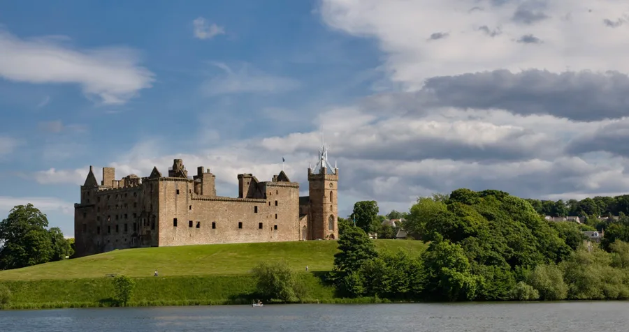
Linlithgow Palace
Castles · 0.2 km
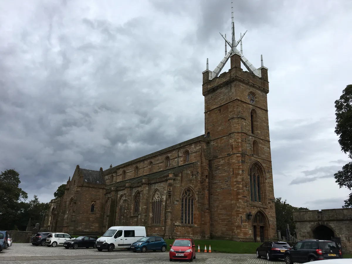
St Michael's Parish Church, Linlithgow
Historic churches · 0.3 km

Mary Queen of Scots Statue
Public art & sculpture · 0.3 km

Grange
Villages · 0.3 km

John Hope, 1st Marquess of Linlithgow Statue
Memorials & monuments · 0.3 km

Cross House, 5 The Cross, Linlithgow
Historic houses · 0.4 km
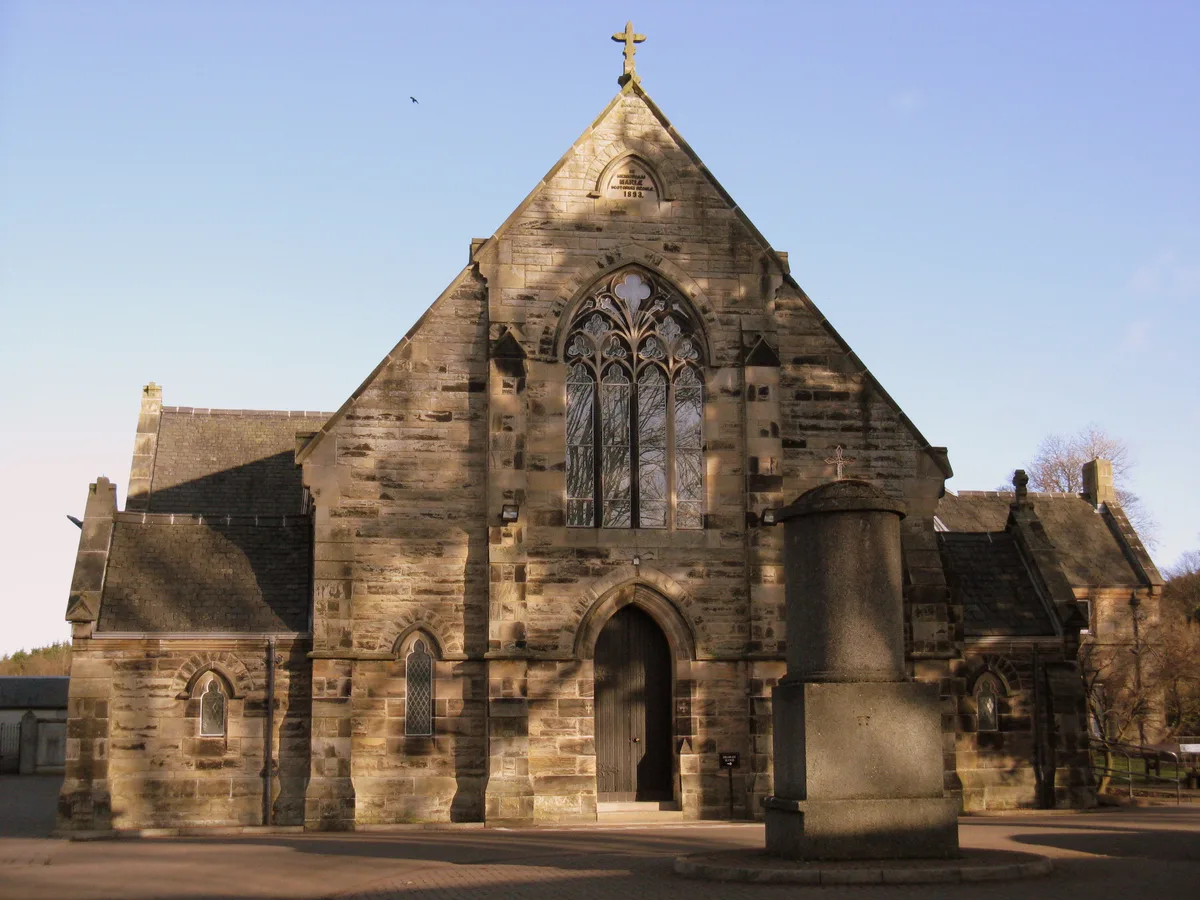
St Michael's Roman Catholic Church, Linlithgow
Historic churches · 0.4 km

St Michael's Church and Presbytery, 53 Blackness Road, Linlithgow
Historic churches · 0.4 km

Cross Well
Memorials & monuments · 0.4 km

Red Lion Inn, 50 High Street, Linlithgow
Historic pubs · 0.4 km

Linlithgow Museum
Museums · 0.4 km
Nearby
📷 3📷 3Castles · Central Scotland
Linlithgow Palace
Linlithgow Palace — ruined palace in West Lothian, Scotland, UK.
📷 3Historic churches · Central Scotland
St Michael's Parish Church, Linlithgow
St Michael's Parish Church, Linlithgow — church in West Lothian, Scotland, UK.
📷 3Public art & sculpture · Central Scotland
Mary Queen of Scots Statue
Mary Queen of Scots Statue — a public art in Central Scotland, United Kingdom.
📷 5📷 3Memorials & monuments · Central Scotland
John Hope, 1st Marquess of Linlithgow Statue
John Hope, 1st Marquess of Linlithgow Statue — a memorial in Central Scotland, United Kingdom.
Where to eat & stay near Linlithgow Loch
Places to stay
 📷 5
📷 5Caravan parks · Central Scotland
Loch House Farm Cavavan Park
Loch House Farm Cavavan Park — a caravan park in scotland central.
 📷 5
📷 5Campsites · Central Scotland
Beecraigs Country Park
Beecraigs Country Park — a campsite in scotland central.
 📷 5
📷 5Campsites · Central Scotland
The Craigs Camping and Training Centre
The Craigs Camping and Training Centre — a campsite in scotland central.
 📷 5
📷 5Hotels · Central Scotland
The Grange Manor
The Grange Manor — a hotel in scotland central.
 📷 5
📷 5Hotels · Central Scotland
Keavil House Hotel
Keavil House Hotel — a hotel in scotland central.
📷 7Hotels · Central Scotland
Adamson Hotel
Adamson Hotel — a hotel in scotland central.
Places to eat & drink
📷 7Historic pubs · Central Scotland
Red Lion Inn, 50 High Street, Linlithgow
Red Lion Inn, 50 High Street, Linlithgow in Scotland Central, United Kingdom.
 📷 7
📷 7Historic pubs · Central Scotland
The Crown Arms, 177-179 High Street, Linlithgow
The Crown Arms, 177-179 High Street, Linlithgow in Scotland Central, United Kingdom.
 📷 7
📷 7 📷 5
📷 5Restaurants · Central Scotland
Champany Inn
Champany Inn — a restaurant in scotland central.
 📷 7
📷 7Historic pubs · Central Scotland
Oatridge Hotel, 2, 4 East Main Street, Uphall
Oatridge Hotel, 2, 4 East Main Street, Uphall in Scotland Central, United Kingdom.
 📷 7
📷 7Historic pubs · Central Scotland
Red Lion Inn, Low Causeway, Culross
Red Lion Inn, Low Causeway, Culross in Scotland Central, United Kingdom.
More natural landmarks in this region
 📷 4
📷 4Natural landmarks · Central Scotland
Blackadder Water
Blackadder Water in England North East, United Kingdom.
 📷 3
📷 3Natural landmarks · Central Scotland
A6105 road
A6105 road in England North East, United Kingdom.
 📷 3
📷 3 📷 3
📷 3Frequently asked questions
- Where is Linlithgow Loch?
- Linlithgow Loch is in central Scotland, United Kingdom (postcode EH49 7AL).
- What is Linlithgow Loch?
- Linlithgow Loch — lake in West Lothian, Scotland, UK.
- How do I get to Linlithgow Loch?
- The nearest railway station is Linlithgow, about 0.5 km away. The nearest town is Torphichen. Drivers can use postcode EH49 7AL.
- Is Linlithgow Loch a listed building?
- Linlithgow Loch is officially recognised as Site of Special Scientific Interest listed.
- Is Linlithgow Loch free to visit?
- Yes, Linlithgow Loch is free to enter.
- How do I get to Linlithgow Loch?
- The nearest railway station is Linlithgow, about 0.5 km away. Drivers can navigate to postcode EH49 7AL.