Mountains & hills · North West England
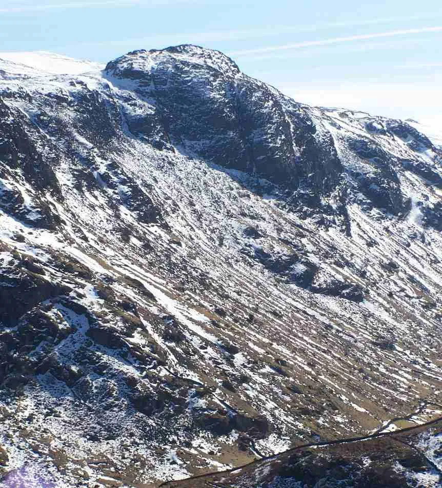
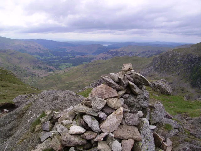
Lining Crag
In or near Grasmere.
Lining Crag — mountain in england north west. Elevation: 542 m.

Michael Graham — CC BY-SA 2.0 via Wikimedia Commons licence
Plan your visit
- Typical visit
- 3 h–8 h
- Best time of year
- Late spring – early autumn (May–Oct)
- Dog-friendly
About
Lining Crag is a mountain located in england north west. Elevation: 542 m. A named British peak recorded in OpenStreetMap. Peaks are typically named on Ordnance Survey 1:50k mapping.
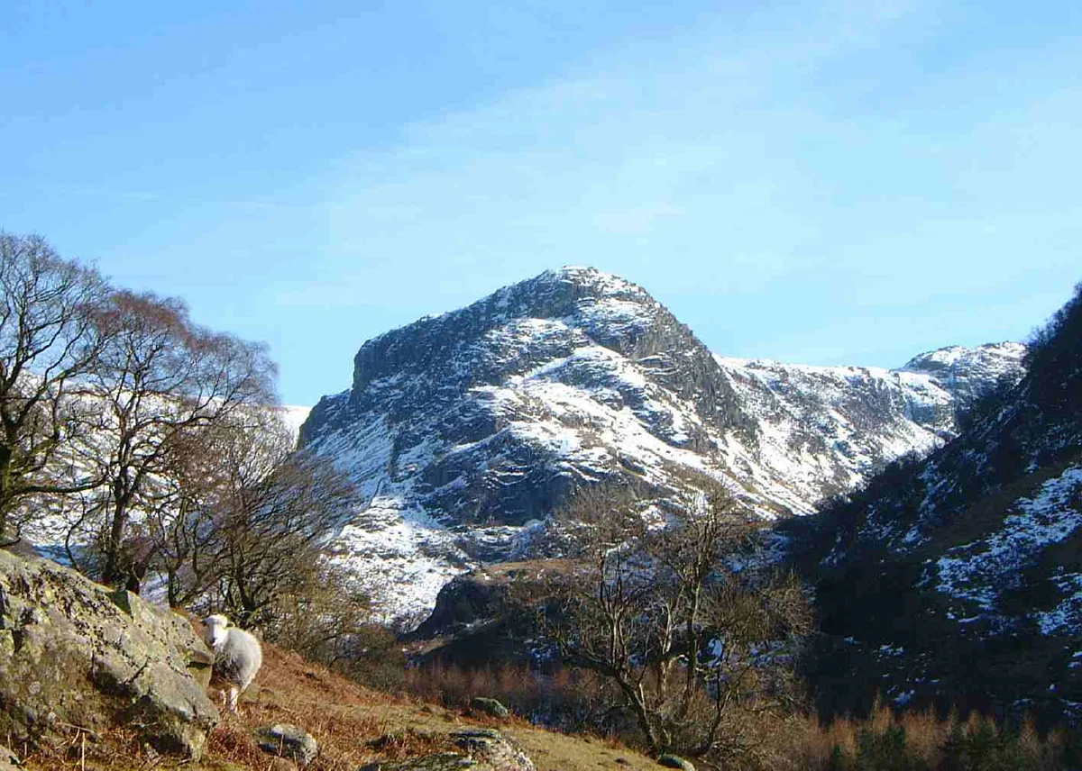
Photo gallery
Protected designations
- Site of Special Scientific Interest: River Derwent and Tributaries SSSI
Designations sourced from Natural England open data under OGL v3.
Place summary
Lining Crag is a mountain located in North-West England. It is part of the rugged terrain characteristic of the region, offering various opportunities for outdoor activities such as hiking and climbing. The area is noted for its natural beauty and geological features, appealing to those interested in exploring the landscape.
AI-generated from the structured facts on this page (operator, designation, listing, era). Not a substitute for visiting.
- Coordinates
- 54.4912, -3.1084
Sources
- osm: n262695292 (ODbL)
Other places nearby

Chandravadan Parekh's Monument
Memorials & monuments · 0.8 km

Sergeant's Crag
Natural landmarks · 0.9 km
Sergeant's Crag
Mountains & hills · 0.9 km
Eagle Crag
Mountains & hills · 1.2 km

Eagle Crag
Natural landmarks · 1.2 km
Ullscarf
Mountains & hills · 1.3 km

Ullscarf
Natural landmarks · 1.3 km
High Raise
Mountains & hills · 1.7 km

High Raise
Natural landmarks · 1.7 km

High Saddle
Mountains & hills · 1.8 km
Calf Crag
Mountains & hills · 2.0 km

Calf Crag
Natural landmarks · 2.0 km
Nearby
📷 3Memorials & monuments · North West England
Chandravadan Parekh's Monument
Chandravadan Parekh's Monument — a memorial in england-north-west, United Kingdom.
📷 3Natural landmarks · North West England
Sergeant's Crag
Sergeant's Crag — mountain in United Kingdom.
📷 3📷 3📷 3📷 3Where to eat & stay near Lining Crag
Places to stay
 📷 5
📷 5Campsites · North West England
National Trust Campsite
National Trust Campsite — a campsite in england north east.
 📷 5
📷 5Campsites · North West England
Chapel House Farm Campsite
Chapel House Farm Campsite — a campsite in england north east.
 📷 5
📷 5 📷 7
📷 7B&Bs · North West England
Yew Tree Farm
Yew Tree Farm — a bed-and-breakfast in england north east.
 📷 5
📷 5Campsites · North West England
Seatoller Farm
Seatoller Farm — a campsite in england north east.
 📷 5
📷 5Caravan parks · North West England
Greenhowe Caravan Park
Greenhowe Caravan Park — a caravan park in england north west.
Places to eat & drink
 📷 7
📷 7Historic pubs · North West England
The Travellers Rest
The Travellers Rest in England North West, United Kingdom.
 📷 7
📷 7Cafés · North West England
Grange Bridge Cottage
Grange Bridge Cottage — a café in england north east.
 📷 5
📷 5Historic pubs · North West England
Golden Rule Hotel
Golden Rule Hotel in England North West, United Kingdom.
 📷 5
📷 5 📷 5
📷 5Restaurants · North West England
Holbeck Ghyll Restaurant
Holbeck Ghyll Restaurant — a restaurant in england north west.
 📷 4
📷 4Restaurants · North West England
Holbeck Ghyll
Holbeck Ghyll is a restaurant located in Windermere, Cumbria, England. "The late 19th century building was once Lord Lonsdale's hunting lodge and only became a hotel in the 1970s. It won a Michelin st
More mountains in this region
 📷 5
📷 5Mountains & hills · North West England
Appleton Park
Appleton Park — a hill or mountain in england west midlands.
 📷 5
📷 5Mountains & hills · North West England
High Warren
High Warren — mountain in england west midlands. Elevation: 105 m.
 📷 5
📷 5Mountains & hills · North West England
Alderley Edge
Alderley Edge — mountain in england west midlands. Elevation: 194 m.
 📷 3
📷 3Frequently asked questions
- Where is Lining Crag?
- Lining Crag is in North-West England, United Kingdom.
- What is Lining Crag?
- Lining Crag — mountain in england north west. Elevation: 542 m.
- How do I get to Lining Crag?
- Its coordinates are 54.4912°, -3.1084°.
- Is Lining Crag a protected site?
- Yes — Lining Crag is part of the River Derwent and Tributaries SSSI Site of Special Scientific Interest.