Natural landmarks · North West England
High Raise
In or near Grasmere.
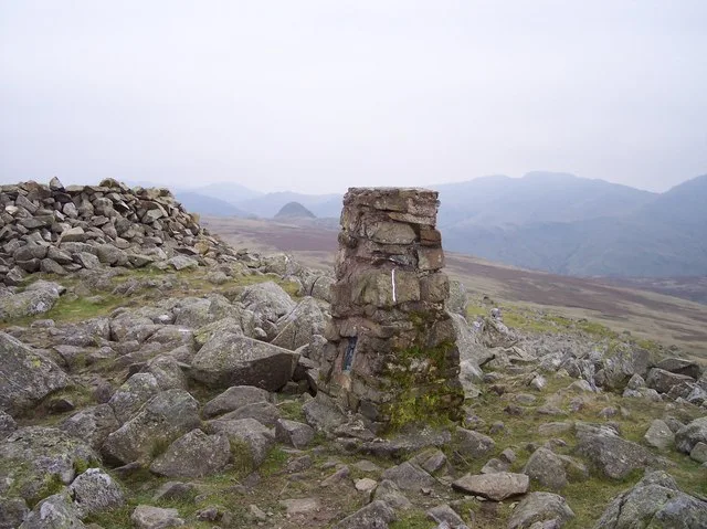
High Raise — mountain in the Central Fells of the Lake District, Cumbria, United Kingdom.

Wikimedia Commons contributors — see linked file page for photographer and licence licence
Plan your visit
- Typical visit
- 1 h–2 h
- Free entry
- Dog-friendly
About
High Raise is a named natural landmark in the United Kingdom. Wikidata describes it as: "mountain in the Central Fells of the Lake District, Cumbria, United Kingdom". Coordinates: 54.4760°, -3.1130°.
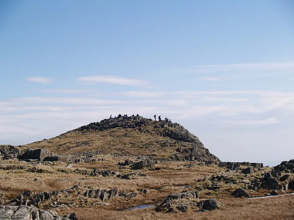
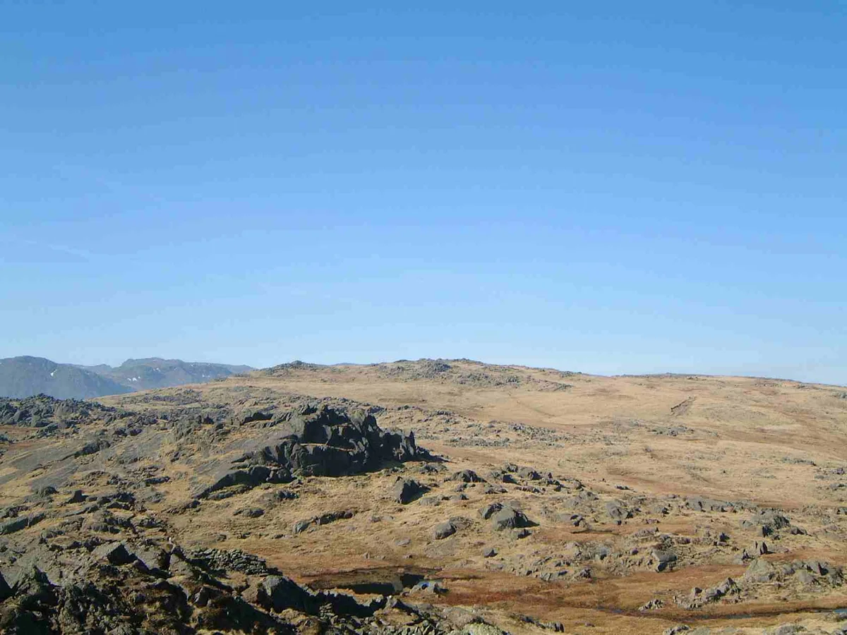
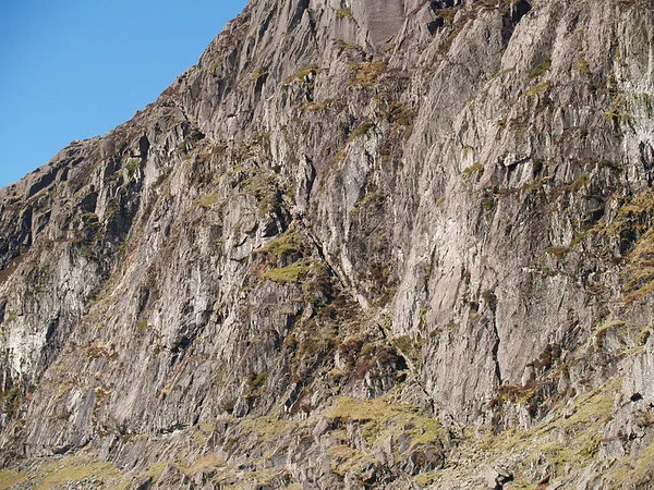
Photo gallery
Protected designations
- Site of Special Scientific Interest: River Derwent and Tributaries SSSI
Designations sourced from Natural England open data under OGL v3.
From the Wikipedia article
High Raise is a fell in the Central Fells of the English Lake District, not to be confused with another High Raise situated in the Far Eastern Fells. High Raise is one of the least spectacular mountains in the district; but with a height of 762 metres (2,500 ft) it is the highest point in the central fells of Lakeland. High Raise is in fact commonly regarded as the most central mountain in the district and this position gives a fine viewpoint to admire the surrounding mountains and beyond. All of England's 3,000-foot (910-metre) mountains (Skiddaw, Helvellyn and the Scafells) can be well seen from the summit while the more distant views include the Three Peaks in the Yorkshire Dales at 37 miles (60 km) and Morecambe Bay at 25 miles (40 km).
Excerpt from Wikipedia under CC BY-SA 4.0. See the source article linked in Sources below.
- Coordinates
- 54.4760, -3.1130
- Address
- Cumbria, England
Sources
- wikidata: Q3785531 (CC0)
- wikipedia: High Raise (Langdale) (CC BY-SA 4.0)
- commons: High Raise Trig Pillar - geograph.org.uk - 707312.jpg (CC BY-SA 4.0)
Other places nearby
High Raise
Mountains & hills · 0.1 km

Sergeant Man
Natural landmarks · 0.9 km
Sergeant Man
Mountains & hills · 0.9 km

Codale Head
Mountains & hills · 1.0 km

Thunacar Knott
Mountains & hills · 1.4 km

Thunacar Knott (summit)
Mountains & hills · 1.5 km
Thunacar Knott
Natural landmarks · 1.6 km

Stake Pass
Natural landmarks · 1.7 km
Pavey Ark
Mountains & hills · 1.7 km

Pavey Ark
Natural landmarks · 1.7 km

Lining Crag
Mountains & hills · 1.7 km

Martcrag Moor Axe Factory
Archaeological sites · 1.7 km
Nearby
📷 3📷 3📷 3📷 5Mountains & hills · North West England
Codale Head
Codale Head — mountain in england north west. Elevation: 732 m.
📷 5Mountains & hills · North West England
Thunacar Knott
Thunacar Knott — mountain in england north west. Elevation: 723 m.
📷 3Mountains & hills · North West England
Thunacar Knott (summit)
Thunacar Knott (summit) — Named summit at 723 m.
Where to eat & stay near High Raise
Places to stay
 📷 5
📷 5Caravan parks · North West England
Greenhowe Caravan Park
Greenhowe Caravan Park — a caravan park in england north west.
 📷 5
📷 5Campsites · North West England
Great Langdale Campsite
Great Langdale Campsite — a campsite in england north west.
 📷 5
📷 5Campsites · North West England
National Trust Campsite
National Trust Campsite — a campsite in england north east.
 📷 5
📷 5Campsites · North West England
Chapel House Farm Campsite
Chapel House Farm Campsite — a campsite in england north east.
 📷 5
📷 5Campsites · North West England
Seathwaite Farm Campsite
Seathwaite Farm Campsite — a campsite in england north west.
 📷 5
📷 5Campsites · North West England
Seatoller Farm
Seatoller Farm — a campsite in england north east.
Places to eat & drink
 📷 7
📷 7Historic pubs · North West England
The Travellers Rest
The Travellers Rest in England North West, United Kingdom.
 📷 7
📷 7Cafés · North West England
Grange Bridge Cottage
Grange Bridge Cottage — a café in england north east.
 📷 5
📷 5Historic pubs · North West England
Golden Rule Hotel
Golden Rule Hotel in England North West, United Kingdom.
 📷 5
📷 5Restaurants · North West England
Holbeck Ghyll Restaurant
Holbeck Ghyll Restaurant — a restaurant in england north west.
 📷 4
📷 4Restaurants · North West England
Holbeck Ghyll
Holbeck Ghyll is a restaurant located in Windermere, Cumbria, England. "The late 19th century building was once Lord Lonsdale's hunting lodge and only became a hotel in the 1970s. It won a Michelin st
📷 5Historic pubs · North West England
Holbeck Ghyll
Holbeck Ghyll in England North West, United Kingdom.
More natural landmarks in this region
 📷 3
📷 3Natural landmarks · North West England
Statue of Oliver Cromwell
Statue of Oliver Cromwell — Public artwork (statue).
 📷 3
📷 3Natural landmarks · North West England
Dagfields Craft Centre
Dagfields Craft Centre — a other in england-west-midlands, United Kingdom.
 📷 3
📷 3Natural landmarks · North West England
Weaver Valley Cruises
Weaver Valley Cruises — a other in england-west-midlands, United Kingdom.
 📷 3
📷 3Natural landmarks · North West England
Golden Gates
Golden Gates — a other in england-west-midlands, United Kingdom.
Frequently asked questions
- Where is High Raise?
- High Raise is in North-West England, United Kingdom.
- What is High Raise?
- High Raise — mountain in the Central Fells of the Lake District, Cumbria, United Kingdom.
- How do I get to High Raise?
- Its coordinates are 54.4760°, -3.1130°.
- Is High Raise a protected site?
- Yes — High Raise is part of the River Derwent and Tributaries SSSI Site of Special Scientific Interest.
- Is High Raise free to visit?
- Yes, High Raise is free to enter.