
Natural landmarks · Northern Ireland
Limavady transmitting station
In or near Shanvey.
Limavady transmitting station in Northern Ireland, United Kingdom.

Kenneth Allen — CC BY-SA 2.0 via Wikimedia Commons licence

Plan your visit
- Typical visit
- 1 h–2 h
- Nearest railway station
- Bellarena · 4.6 km
- Free entry
- Dog-friendly
Getting there & planning your visit
To visit the Limavady transmitting station, the nearest railway station is Bellarena, which is 4.6 km away. Entry is free.
About
Limavady transmitting station is a place of interest in Northern Ireland, United Kingdom — drawn from open-data sources for visitor reference. See the linked Wikipedia article for the full description.
Photo gallery
From the Wikipedia article
Limavady transmitting station is a television and radio transmitter situated near the town of Limavady, County Londonderry, Northern Ireland. It is owned and operated by Arqiva. The Limavady transmitter was brought into service on Monday 1 December 1975, to provide UHF colour television to the North West of Northern Ireland, transmitting BBC One Northern Ireland, BBC Two Northern Ireland and Ulster Television. Channel 4 would be added to the transmitter in August 1983. A UHF relay of the transmitter was also opened on Monday 1 December 1975 at the Londonderry transmitter, which had been transmitting BBC Television (later renamed BBC One) and radio on VHF since it commenced transmissions on Wednesday 18 December 1957. BBC FM radio services from Limavady began in 1987 replacing a previous (lower powered) site at Maddybenny More. Commercial FM radio service having begun the previous year.
Excerpt from Wikipedia under CC BY-SA 4.0. See the source article linked in Sources below.
- Coordinates
- 55.1083, -6.8872
- Address
- Limavady, County Londonderry
- Nearest railway station
- Bellarena — 4.6 km
Sources
- wikidata: Q6548921 (CC0)
- wikipedia: Limavady transmitting station (CC BY-SA 4.0)
Other places nearby

Harkin's Hill
Mountains & hills · 1.2 km
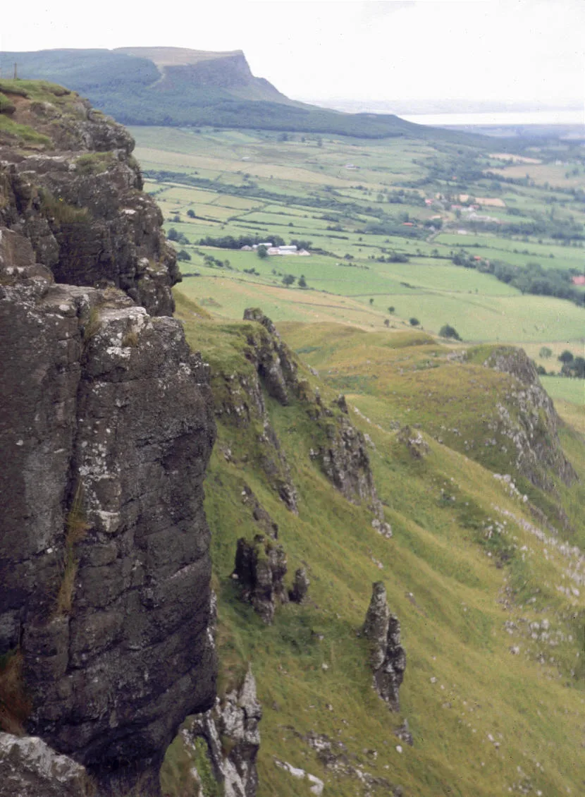
Binevenagh
Mountains & hills · 2.0 km
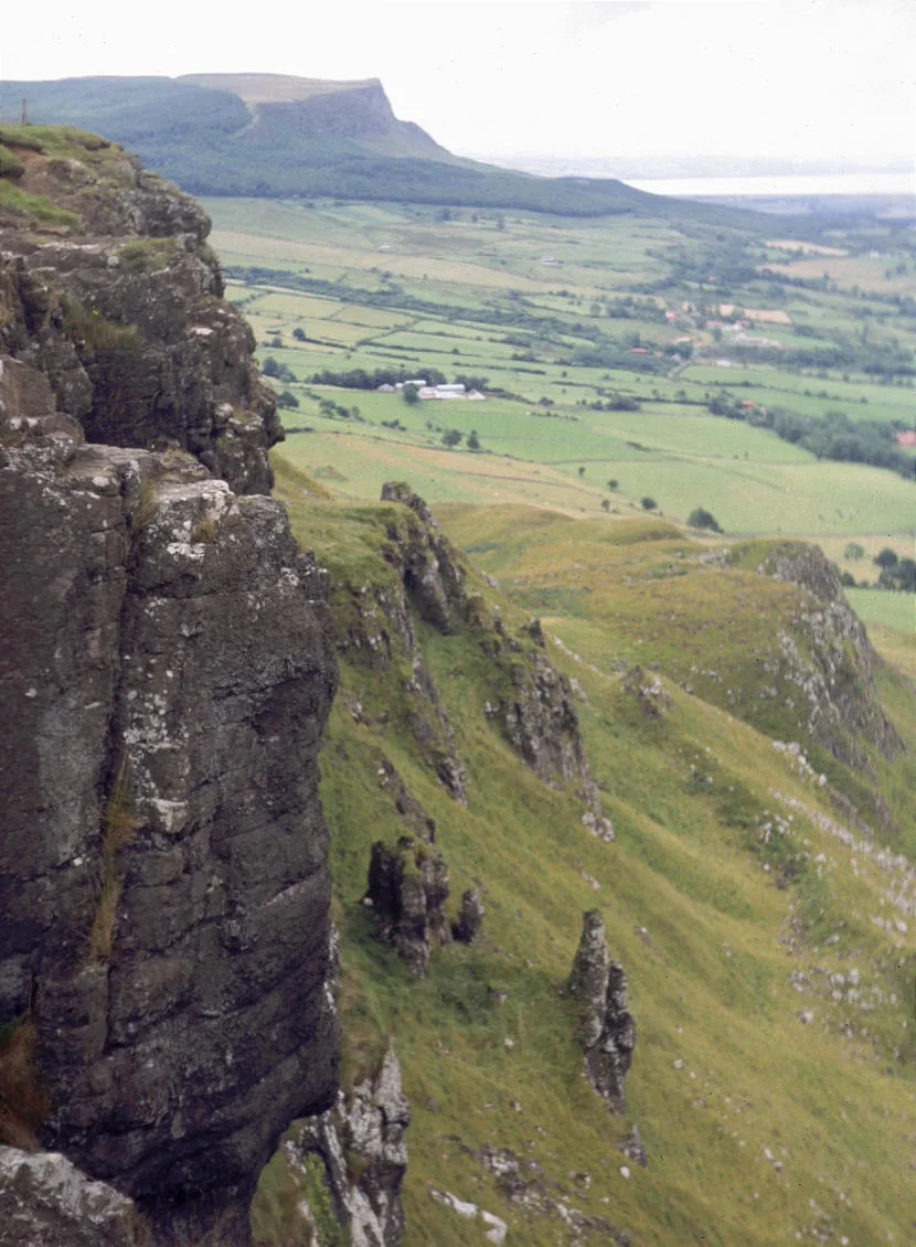
Binevenagh
Natural landmarks · 2.1 km

Binevenagh View
Viewpoints · 2.6 km

Ballyhacket View
Viewpoints · 4.1 km

Bellarena railway station
Natural landmarks · 4.6 km
.jpg?width=1200)
Manannán mac Lir
Public art & sculpture · 4.6 km

Bellarena House
Castles · 4.7 km

Gortmore View Point
Viewpoints · 4.7 km

Shanvey
Towns & cities · 4.7 km

Magilligan railway station
Natural landmarks · 4.9 km

Bellarena
Towns & cities · 5.0 km
Nearby
📷 5Mountains & hills · Northern Ireland
Harkin's Hill
Harkin's Hill — mountain in northern ireland. Elevation: 353 m.
📷 3📷 3📷 3Viewpoints · Northern Ireland
Binevenagh View
Binevenagh View is a viewpoint in the United Kingdom.
📷 3Viewpoints · Northern Ireland
Ballyhacket View
Ballyhacket View is a viewpoint in the United Kingdom.
📷 4Natural landmarks · Northern Ireland
Bellarena railway station
Bellarena railway station in Northern Ireland, United Kingdom.
Where to eat & stay near Limavady transmitting station
Places to stay
 📷 5
📷 5Caravan parks · Northern Ireland
Deighans Caravan Park
Deighans Caravan Park — a caravan park in northern ireland.
 📷 5
📷 5Caravan parks · Northern Ireland
Golden Sands
Golden Sands — a caravan park in northern ireland.
📷 5Caravan parks · Northern Ireland
Benone Tourist Complex
Benone Tourist Complex — a caravan park in northern ireland.
📷 5Caravan parks · Northern Ireland
Benone Caravan Park
Benone Caravan Park — a caravan park in northern ireland.
📷 5📷 5Caravan parks · Northern Ireland
Tivole Caravan Park
Tivole Caravan Park — a caravan park in northern ireland.
More natural landmarks in this region
 Flagship📷 4
Natural landmarks · Northern Ireland
Lough Erne
Lough Erne — lake in County Fermanagh, Northern Ireland, UK.
 Flagship📷 4
Natural landmarks · Northern Ireland
Lough Neagh
Lough Neagh — large lake in Northern Ireland.
 📷 3
📷 3Natural landmarks · Northern Ireland
Ballysaggart Lough
Ballysaggart Lough — lake in the United Kingdom.
 📷 5
📷 5Natural landmarks · Northern Ireland
Belmore Mountain
Belmore Mountain — mountain in the United Kingdom.
Frequently asked questions
- Where is Limavady transmitting station?
- Limavady transmitting station is in Northern Ireland, United Kingdom.
- What is Limavady transmitting station?
- Limavady transmitting station in Northern Ireland, United Kingdom.
- How do I get to Limavady transmitting station?
- The nearest railway station is Bellarena, about 4.6 km away. Its coordinates are 55.1083°, -6.8872°.
- Is Limavady transmitting station free to visit?
- Yes, Limavady transmitting station is free to enter.
- How do I get to Limavady transmitting station?
- The nearest railway station is Bellarena, about 4.6 km away.