
Castles · South East England
Leybourne Castle
In or near Aylesford.
Leybourne Castle — castle in Leybourne, Kent, England, UK.

Wikimedia Commons contributors — see linked file page for photographer and licence licence

Plan your visit
- Typical visit
- 1.5 h–3 h
- Nearest railway station
- West Malling · 1.4 km
- Family-friendly
- Limited wheelchair access
Getting there & planning your visit
To visit Leybourne Castle, the nearest railway station is West Malling, which is 1.4 km away. The postcode for sat-nav is ME19 5HE. Accessibility is limited for wheelchair users.
About
Leybourne Castle is a castle in the United Kingdom — fortified architecture from the medieval, Tudor, or Victorian-revival period. Heritage designation: scheduled monument. Wikidata describes it as: "castle in Leybourne, Kent, England, UK". Coordinates: 51.3044°, 0.4209°.
Photo gallery
Heritage listing
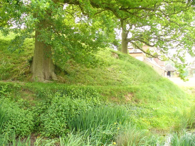
Details The monument includes an enclosure castle situated on a gentle east facing slope in an area of Greensand. The castle has ruined upstanding remains of medieval masonry dating from about 1300, surrounded by a partially infilled circular moat. The enclosed central area of the castle measures c.48m in diameter and contains the remains of the enclosing wall, which constituted the castle's main defence, with the gateway entrance on the north east side. The gatehouse is formed by two drum towers which survive to the first floor level. These incorporate a number of features including arrow-loops, external portcullis grooves and a water chute above the entrance way. Within the eastern tower is a well. On the south eastern edge of the enclosed area are the remains of a mural tower which survives up to c.7m high and appears to be contemporary with the gatehouse. On the west side of the interior inside the enclosing wall is a rectangular building 11m north-south by 6m east-west, thought to be a chapel. Although the building may incorporate some of the earlier construction of the castle, it is believed to relate to the private house which was built within the castle ruins during the 16th century. Surrounding the central area is a moat, visible to the north, west and south as an earthwork up to 15m wide and 1m deep. To the east the moat has become infilled and is no longer visible from ground level, surviving as a buried feature. An entrance causeway crosses the moat to the north east. There is little documentary evidence which records the earliest history of Leybourne Castle but it has been suggested that the castle was originally Norman, dating to the 11th or 12th century. The majority of the upstanding masonry, however, dates to the early 14th century and the gateway was b
From the Historic England List Entry under OGL v3.
Protected designations
- Area of Outstanding Natural Beauty: Kent Downs
Designations sourced from Natural England open data under OGL v3.
From the Wikipedia article
Leybourne Castle is a 13th-century castle in the parish of Leybourne, Kent, west of Castle Way.
Excerpt from Wikipedia under CC BY-SA 4.0. See the source article linked in Sources below.
Background
History
The two semi circular bastions of the twin towered gatehouse built in 1275 remain and are incorporated into a Tudor farmhouse that was extensively rebuilt around 1930. Some evidence of circular earthworks also remains. The curtain wall was extant until the 18th century but now none of it remains. It has strong links with the similar church very near it. Leybourne Castle is a Grade II* listed building. Currently it is private property and inaccessible to the public.
Sourced from Wikipedia under CC BY-SA 4.0.
- Coordinates
- 51.3044, 0.4209
- County
- Kent
- District
- Tonbridge and Malling
- Parish
- Leybourne
- Postcode
- ME19 5HE
- Parliamentary constituency
- Maidstone and Malling
- Nearest railway station
- West Malling — 1.4 km
Sources
- wikidata: Q15242302 (CC0)
- wikipedia: Leybourne Castle (CC BY-SA 4.0)
- commons: Leybourne Castle, Kent.jpg (CC BY-SA 4.0)
Other places nearby

Leybourne
Historic churches · 0.1 km

Pad Thai Restaurant
Restaurants · 1.2 km

Milepost at NGR TQ6998558314
Memorials & monuments · 1.3 km

Went House
Historic houses · 1.3 km

Imperial Dynasty
Restaurants · 1.3 km

The Swan
Restaurants · 1.3 km

Larkfield Priory Hotel
Gardens · 1.3 km

Ryarsh
Villages · 1.3 km

St Mary's Abbey Tower To Original Abbey
Memorials & monuments · 1.4 km

Malling Abbey
Abbeys & priories · 1.4 km

West Malling railway station
Heritage railway stations · 1.4 km

The Ancient House
Historic houses · 1.4 km
Nearby
📷 5Historic churches · South East England
Leybourne
Leybourne — a church in england-london, United Kingdom.
📷 5Restaurants · South East England
Pad Thai Restaurant
Pad Thai Restaurant — a restaurant in england london.
📷 5Memorials & monuments · South East England
Milepost at NGR TQ6998558314
Milepost at NGR TQ6998558314 — a memorial in england-london, United Kingdom.
📷 5Historic houses · South East England
Went House
Went House — house in West Malling, Tonbridge and Malling, England, UK.
📷 5📷 7Where to eat & stay near Leybourne Castle
Places to stay
 📷 5
📷 5Campsites · South East England
Badgells Wood Camping
Badgells Wood Camping — a campsite in england london.
 📷 5
📷 5Campsites · South East England
Gate House Wood Touring Park
Gate House Wood Touring Park — a campsite in england london.
 📷 5
📷 5Campsites · South East England
Kits Coty Glamping
Kits Coty Glamping — a campsite in england london.
 📷 5
📷 5 📷 5
📷 5Campsites · South East England
Buckmore Park Scout Campsite
Buckmore Park Scout Campsite — a campsite in england london. Brand: The Scout Association.
 📷 5
📷 5Campsites · South East England
Hopehill Scout Campsite
Hopehill Scout Campsite — a campsite in england london.
Places to eat & drink
📷 5Restaurants · South East England
Pad Thai Restaurant
Pad Thai Restaurant — a restaurant in england london.
📷 5📷 7 📷 5
📷 5Historic pubs · South East England
The Joiners Arms Public House
The Joiners Arms Public House in England South East, United Kingdom.
 📷 5
📷 5Historic pubs · South East England
Five Pointed Star Public House
Five Pointed Star Public House in England South East, United Kingdom.
 📷 7
📷 7Historic pubs · South East England
The King And Queen Public House
The King And Queen Public House in England South East, United Kingdom.
More castles in this region
 📷 5
📷 5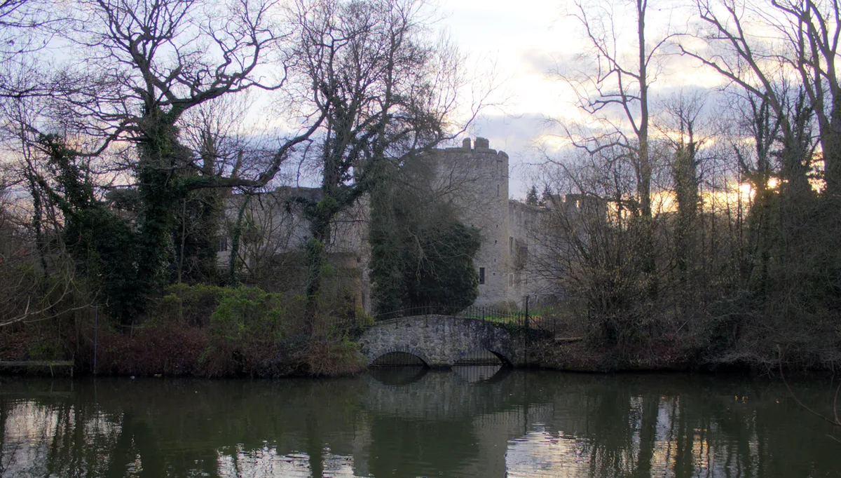 📷 5
📷 5Castles · South East England
Allington Castle
Allington Castle — stone-built moated castle in Allington, England.
 📷 5
📷 5Castles · South East England
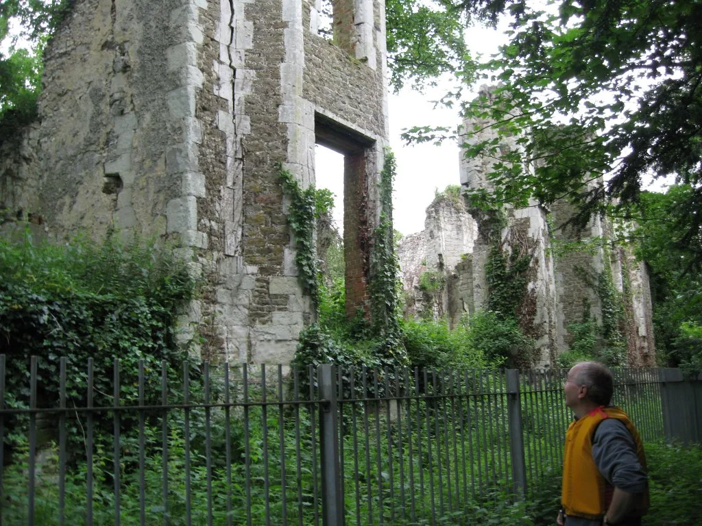
Betchworth Castle
Betchworth Castle — castle in Brockham, Mole Valley, Surrey, England, UK.
 📷 5
📷 5Castles · South East England
Bletchingley Castle
Bletchingley Castle — castle in Surrey, England, UK.
Frequently asked questions
- Where is Leybourne Castle?
- Leybourne Castle is in Kent, London, United Kingdom (postcode ME19 5HE), in the parish of Leybourne.
- What is Leybourne Castle?
- Leybourne Castle — castle in Leybourne, Kent, England, UK.
- How do I get to Leybourne Castle?
- The nearest railway station is West Malling, about 1.4 km away. Drivers can use postcode ME19 5HE.
- Is Leybourne Castle a listed building?
- Leybourne Castle is officially recognised as scheduled monument listed.
- Is Leybourne Castle a protected site?
- Yes — Leybourne Castle is part of the Kent Downs National Landscape (AONB).
- Does Leybourne Castle charge admission?
- Leybourne Castle typically charges admission. Check the official site for current ticket prices and opening hours.
- How do I get to Leybourne Castle?
- The nearest railway station is West Malling, about 1.4 km away. Drivers can navigate to postcode ME19 5HE.