
Abbeys & priories · East of England
Leiston Abbey (first site) with later chapel and pill box
In or near Dunwich.
Leiston Abbey (first site) with later chapel and pill box — Site of abbey, ruined chapel and World War II pillbox.

Wikimedia Commons contributors — see linked file page for photographer and licence licence

Plan your visit
- Typical visit
- 45 min–1.5 h
- Nearest railway station
- Darsham · 7.7 km
- Family-friendly
- Limited wheelchair access
Getting there & planning your visit
Leiston Abbey is located in East Suffolk, postcode IP16 4SR, with the nearest railway station being Darsham, approximately 7.7 km away. Entry details are not specified, and wheelchair accessibility is limited.
About
Leiston Abbey (first site) with later chapel and pill box is a place of interest in Suffolk, East of England. Officially recognised as scheduled monument. The site is within the Suffolk Coast & Heaths National Landscape (AONB), and is a designated Site of Special Scientific Interest. It sits within the Suffolk Coastal parliamentary constituency. The nearest railway station is Darsham, about 7.7 km away. Postcode area IP16.
Photo gallery
Protected designations
- Site of Special Scientific Interest: Minsmere-Walberswick Heaths and Marshes SSSI
- Area of Outstanding Natural Beauty: Suffolk Coast & Heaths
- Ramsar wetland: Minsmere-Walberswick
Designations sourced from Natural England open data under OGL v3.
Place summary
Leiston Abbey, located in Suffolk within the East of England, is a scheduled monument notable for its historical significance. The site includes a later chapel and a pill box, set within an area designated as a Site of Special Scientific Interest (SSSI) and an Area of Outstanding Natural Beauty (AONB). It is also part of the Ramsar Wetland of International Importance, Minsmere-Walberswick.
AI-generated from the structured facts on this page (operator, designation, listing, era). Not a substitute for visiting.
- Coordinates
- 52.2367, 1.6199
- County
- Suffolk
- District
- East Suffolk
- Parish
- Leiston
- Postcode
- IP16 4SR
- Parliamentary constituency
- Suffolk Coastal
- Nearest railway station
- Darsham — 7.7 km
Sources
- wikidata: Q17671113 (CC0)
- commons: Eastbridge Chapel - geograph.org.uk - 2390376.jpg (CC BY-SA 4.0)
Other places nearby

Leiston Abbey (first site) with later chapel and pill box
Abbeys & priories · 0.0 km
Leiston old abbey
Abbeys & priories · 0.1 km

Leiston old abbey
Archaeological sites · 0.1 km
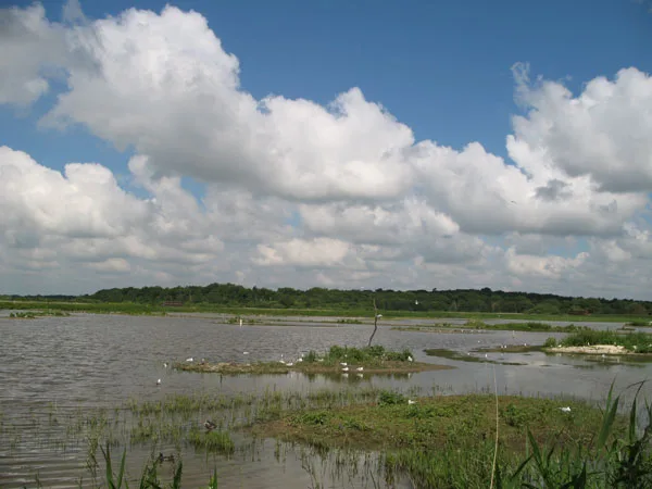
Minsmere Nature Reserve
Wildlife reserves · 0.8 km

Minsmere
Forests & woodlands · 1.7 km

Motorhome & Caravan Club, The Eels Foot
Caravan parks · 2.0 km

Eastbridge Village Sign
Public art & sculpture · 2.1 km
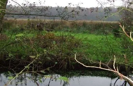
Sizewell Belts
Wildlife reserves · 2.3 km
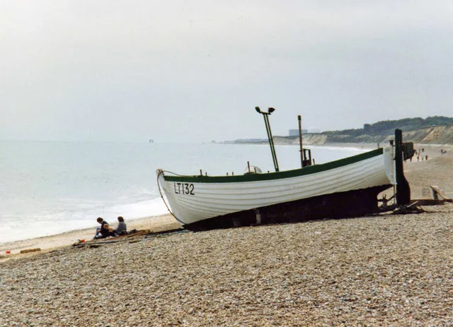
Dunwich Beach
Beaches · 2.3 km

Sizewell
Villages · 2.5 km

Suffolk & Essex Coast & Heaths National Landscape
National landscapes (AONB) · 2.6 km

Theberton House
Historic houses · 2.9 km
Nearby
★ Iconic📷 3Abbeys & priories · East of England
Leiston Abbey (first site) with later chapel and pill box
Leiston Abbey (first site) with later chapel and pill box — scheduled monument-listed abbey in england-east, United Kingdom.
📷 3Abbeys & priories · East of England
Leiston old abbey
Leiston old abbey — an abbey in East of England, United Kingdom.
📷 5Archaeological sites · East of England
Leiston old abbey
Leiston old abbey — archaeological in england east.
📷 3Wildlife reserves · East of England
Minsmere Nature Reserve
Minsmere Nature Reserve — RSPB nature reserve in the United Kingdom.
📷 3Forests & woodlands · East of England
Minsmere
Minsmere is a forest or woodland in the United Kingdom.
📷 5Caravan parks · East of England
Motorhome & Caravan Club, The Eels Foot
Motorhome & Caravan Club, The Eels Foot — a caravan park in england east.
Where to eat & stay near Leiston Abbey (first site) with later chapel and pill box
Places to stay
📷 5Caravan parks · East of England
Motorhome & Caravan Club, The Eels Foot
Motorhome & Caravan Club, The Eels Foot — a caravan park in england east.
 📷 5
📷 5Caravan parks · East of England
Cliff House Estate Caravan Park
Cliff House Estate Caravan Park — a caravan park in england east.
 📷 5
📷 5Campsites · East of England
Beach View Holiday Park (Formerly Cliff House Park)
Beach View Holiday Park (Formerly Cliff House Park) — a campsite in england east.
 📷 5
📷 5 📷 5
📷 5 📷 5
📷 5Places to eat & drink
 📷 7
📷 7Historic pubs · East of England
The Parrot And Punchbowl Public House
The Parrot And Punchbowl Public House in England East, United Kingdom.
 📷 5
📷 5 📷 6
📷 6Historic pubs · East of England
The Swan, Peasenhall
The Swan, Peasenhall in England East, United Kingdom.
 📷 7
📷 7Historic pubs · East of England
George and Dragon, Farnham
George and Dragon, Farnham in England East, United Kingdom.
 📷 7
📷 7Historic pubs · East of England
The Lion, Little Glemham
The Lion, Little Glemham in England East, United Kingdom.
 📷 5
📷 5Historic pubs · East of England
Huntingfield Arms
Huntingfield Arms in England East, United Kingdom.
More abbeys in this region
 Flagship📷 5
 📷 5
📷 5Abbeys & priories · East of England
Blackborough Priory
Blackborough Priory — monastery in Middleton, King's Lynn and West Norfolk, England, UK.
 📷 5
📷 5Abbeys & priories · East of England
Bulstrode Preceptory
Bulstrode Preceptory — monastery in Buckinghamshire, England, UK.
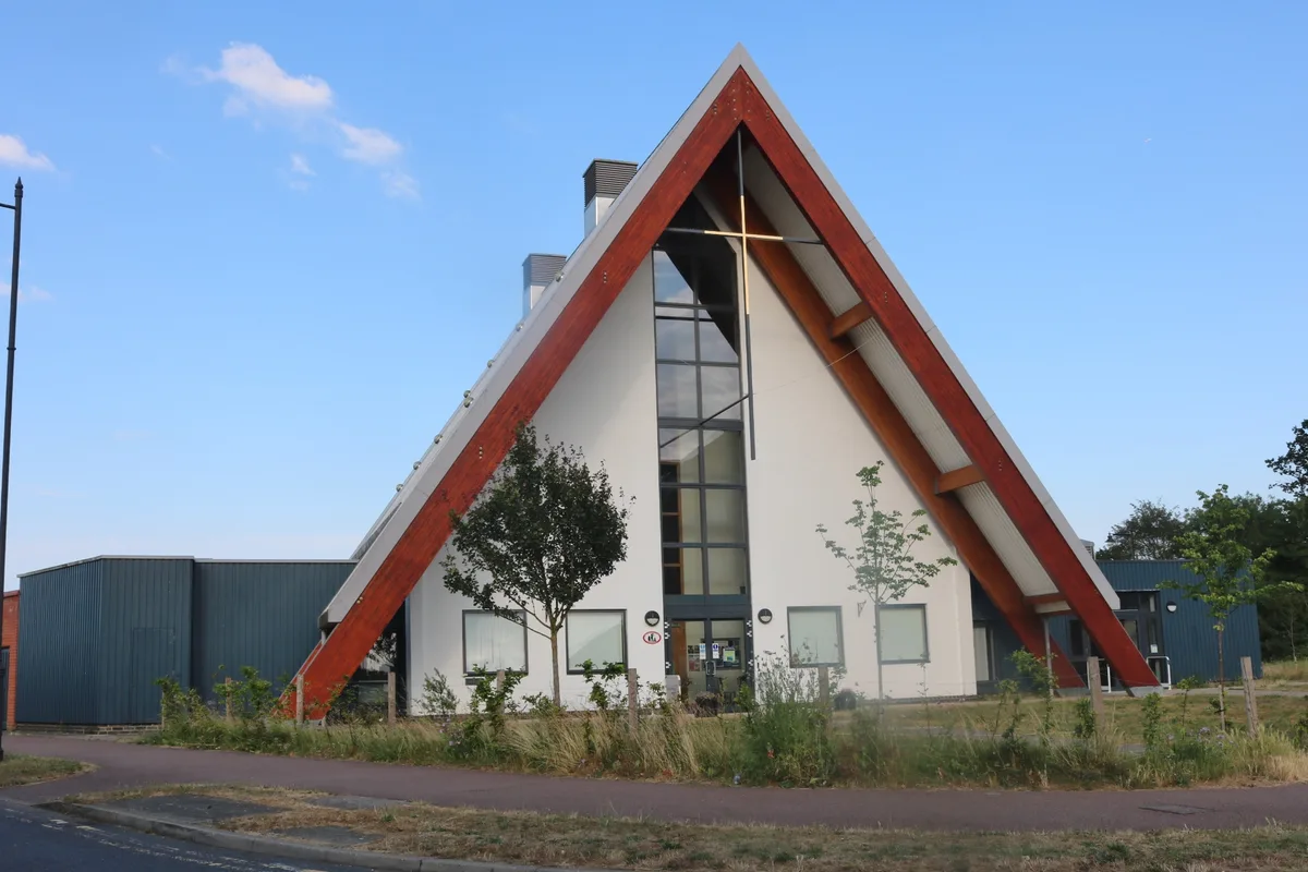 Flagship📷 5
Abbeys & priories · East of England
Cambourne Church
Cambourne Church is a abbey in the United Kingdom.
Frequently asked questions
- Where is Leiston Abbey (first site) with later chapel and pill box?
- Leiston Abbey (first site) with later chapel and pill box is in Suffolk, East of England, United Kingdom (postcode IP16 4SR), in the parish of Leiston.
- What is Leiston Abbey (first site) with later chapel and pill box?
- Leiston Abbey (first site) with later chapel and pill box — Site of abbey, ruined chapel and World War II pillbox.
- How do I get to Leiston Abbey (first site) with later chapel and pill box?
- The nearest railway station is Darsham, about 7.7 km away. The nearest town is Dunwich. Drivers can use postcode IP16 4SR.
- Is Leiston Abbey (first site) with later chapel and pill box a listed building?
- Leiston Abbey (first site) with later chapel and pill box is officially recognised as scheduled monument listed.
- Is Leiston Abbey (first site) with later chapel and pill box a protected site?
- Yes — Leiston Abbey (first site) with later chapel and pill box is part of the Minsmere-Walberswick Heaths and Marshes SSSI Site of Special Scientific Interest and the Suffolk Coast & Heaths National Landscape (AONB).
- How do I get to Leiston Abbey (first site) with later chapel and pill box?
- The nearest railway station is Darsham, about 7.7 km away. Drivers can navigate to postcode IP16 4SR.